

This one was not easy to find. For my third 10/10 challenge, I wanted to try one to the south.
The directions seemed simple enough on the county challenge page, and my GPS was agreeable. Then it took my down a terrifyingly narrow and winding road down a bluff and deposited me on a dead end road that crossed the trail, but had no parking area.
I circled back to the main road though, and found the county park sign just a little farther down the road.
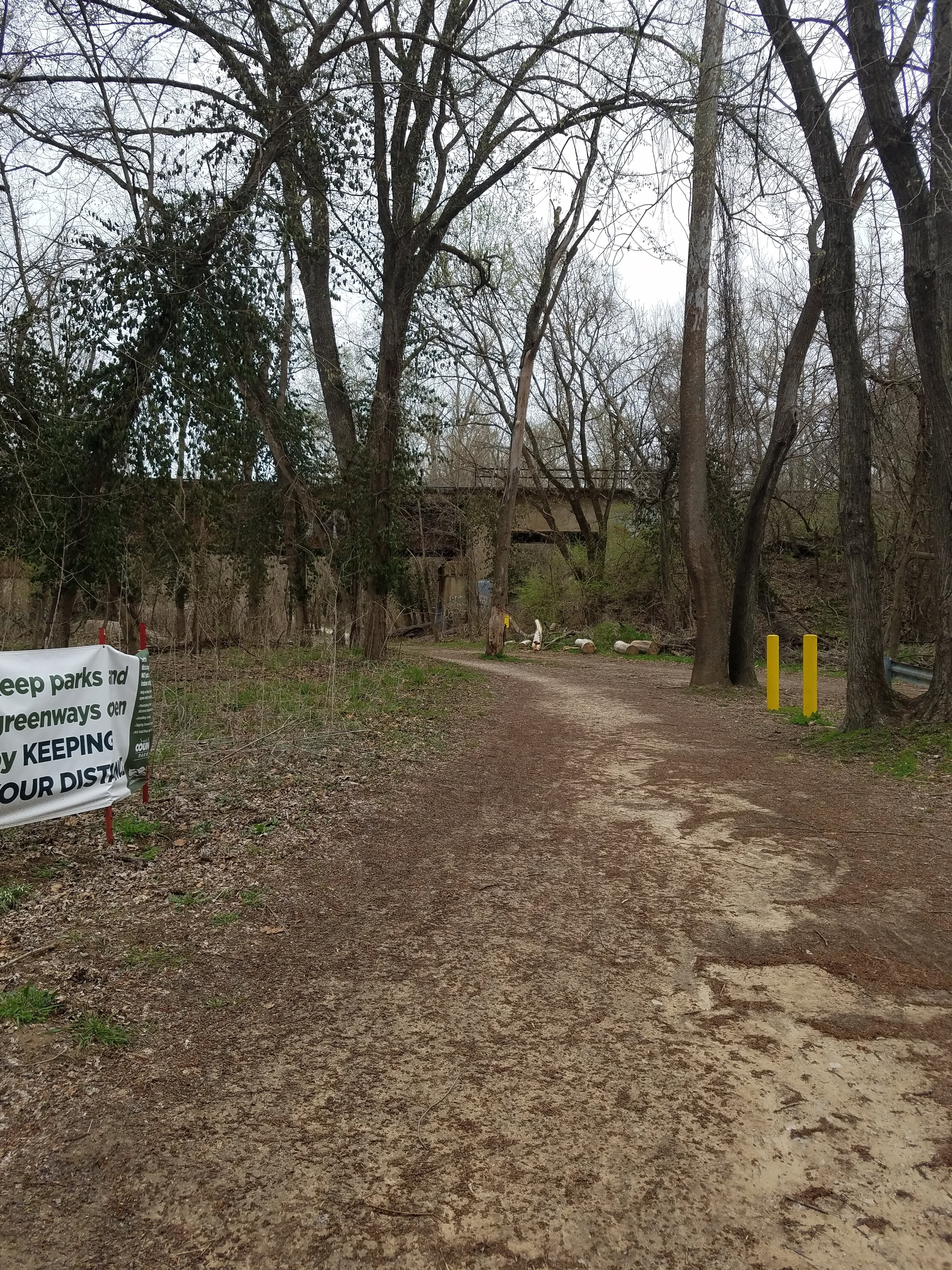
It still seemed pretty deserted, but there was a clearly marked path, good signage, and several parking spots.
It actually turned out to be pretty well traveled. I passed several joggers, a few more bikers, and families out with their children.
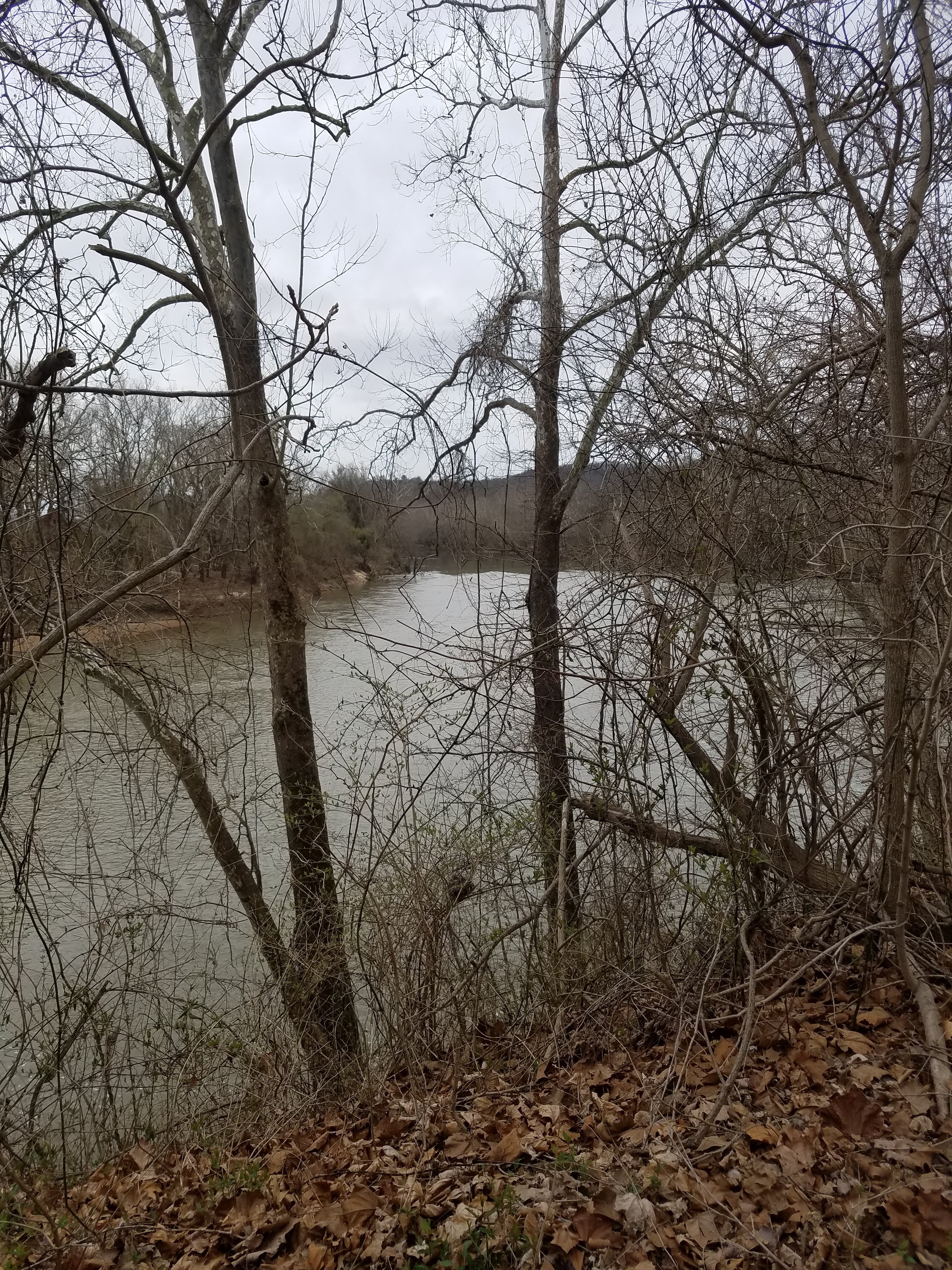
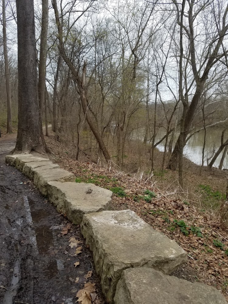
The trail runs alongside the Meramec River bluffs and the tracks of the Wabash Frisco and Pacific Steam Railway


The suggested connector trail to get the 10 mile loop was the Rock Hollow Trail, although there are several other choices.
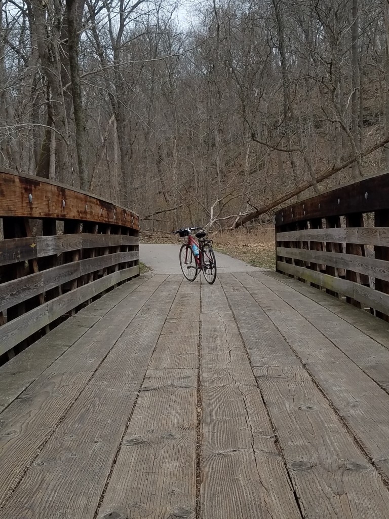
It’s paved, as promised. It is also referred to as “hilly” . To me that means it should go up and down. I guess that’s honest enough. It goes up; all the way to the top of the bluff, then when you turn around it goes down again.
It wasn’t that bad really. It’s very beautiful, and mostly manageable, though I did push my bike up the last section.


There’s a school at the top of the hill, with a wonderful outdoor learning area full of picnic tables and plants. I hope they’re able to use the trail, it would be an amazing natural classroom.
