
I’ve hiked parts of this trail before. The section off of Charbonier Road connects to Truman Park which I posted about the other day.
I’d never found the famous Charbonier Bluff overlook though, or the ruins of the old seminary retreat.
I used an AllTrails map to help me figure out the interconnecting trails, and I’m glad I did. There were several sections overgrown or deep in fallen leaves, and I would have had to give up several times without it. Although the app was compelled to remind me constantly that I had very poor service, it did just fine in showing my location on the map.
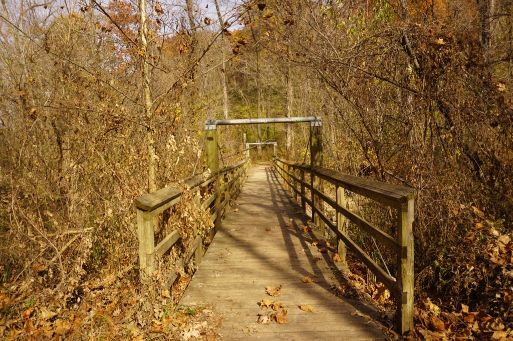
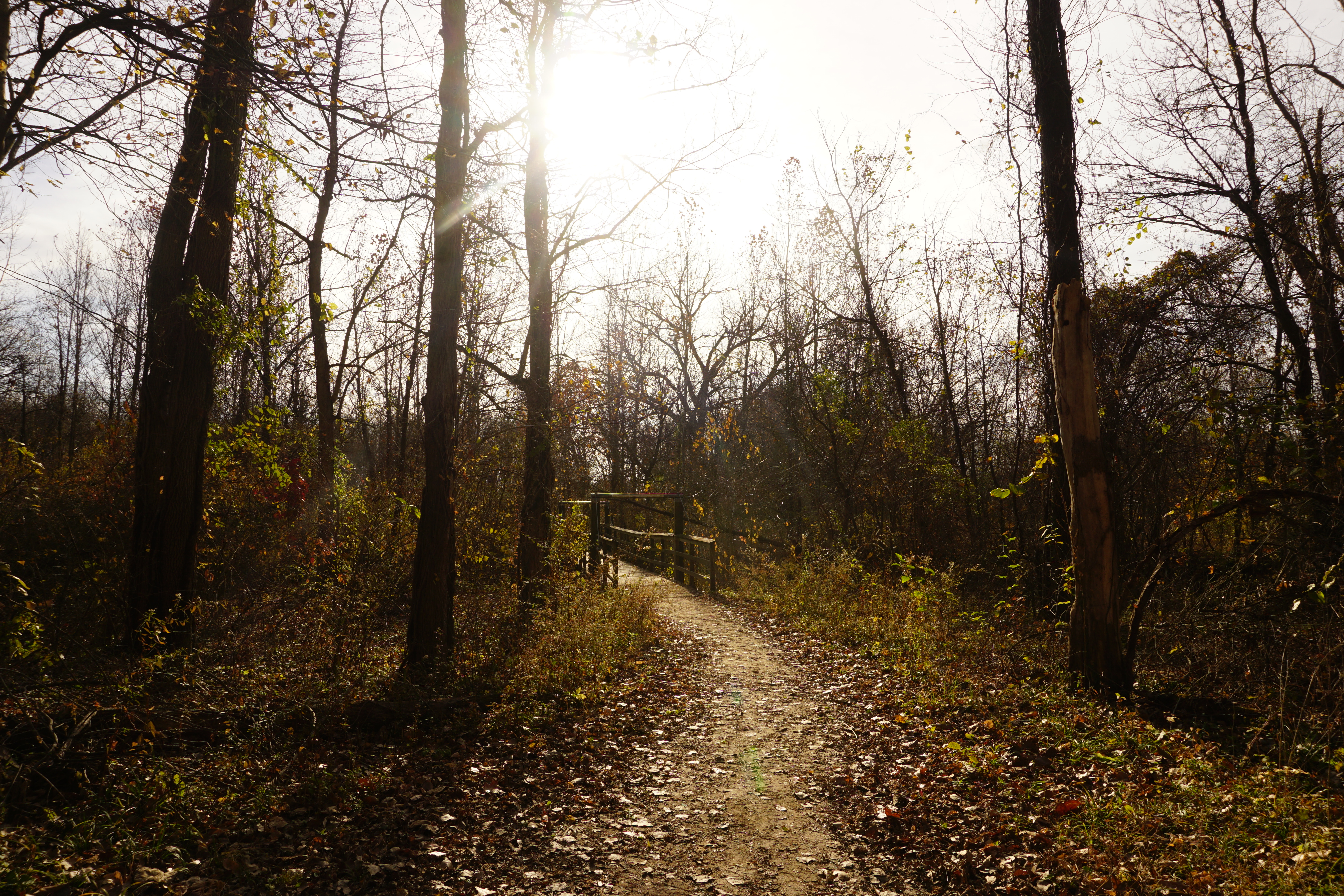
A short loop trail branches off just past the parking lot at the Aubuchon trailhead, but the main trail continues over the bridge.

Two clear trails lead off in either direction, but this little arrow points straight up instead. On the map, it’s just a little dotted line, not the solid red of the official trails. It’s pointing the direction I want to go though, so I decided to give it a try.
It was steep, but managable, and a pretty quick climb of about a tenth of a mile if the map is accurate. I emerged back in the good graces of my app on the established trail, at the top of the bluff and a beautiful overlook.

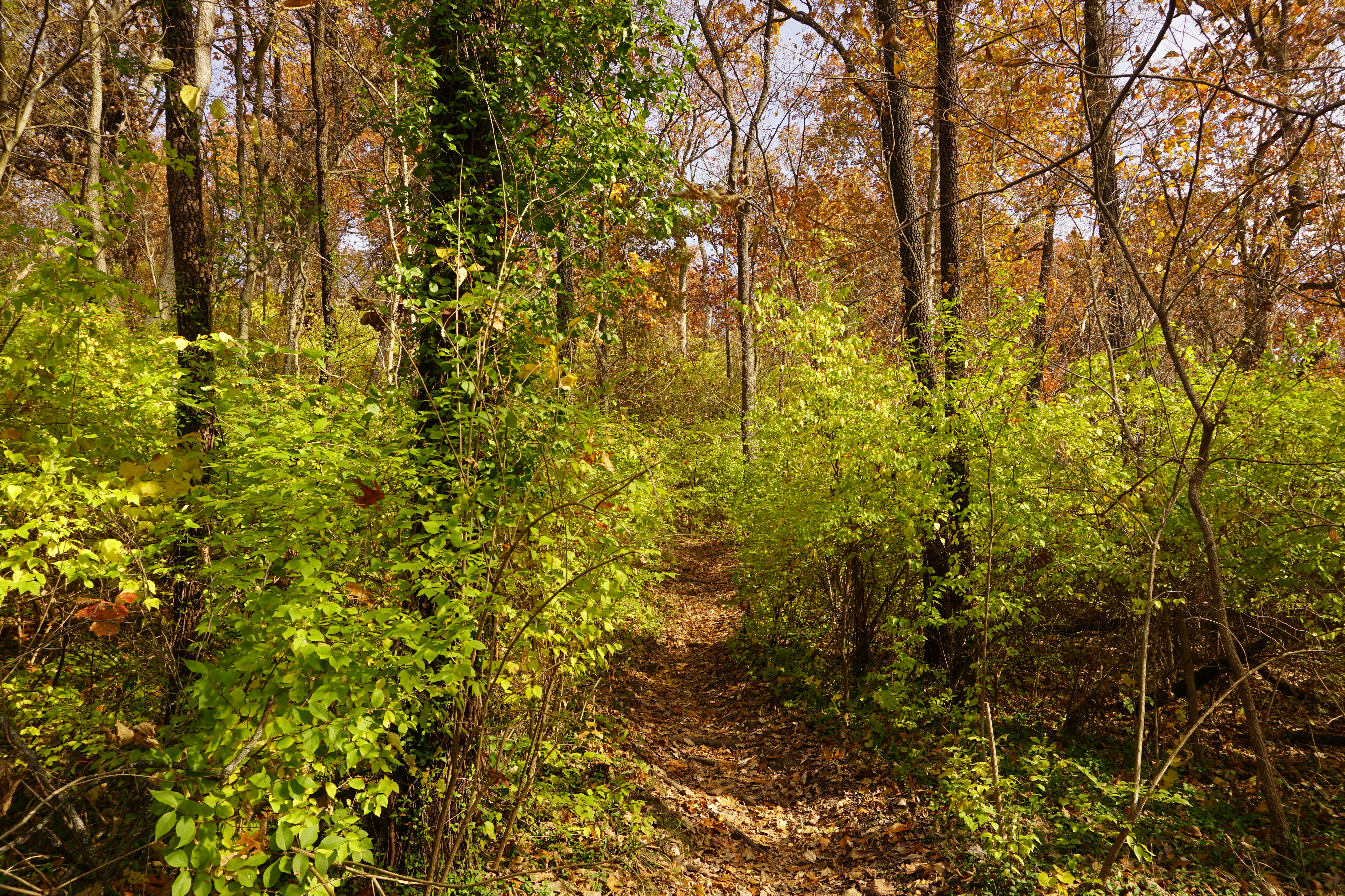
The trees along the river bottoms seem mostly bare, but up here on the ridge they’re still dense with golden glow.

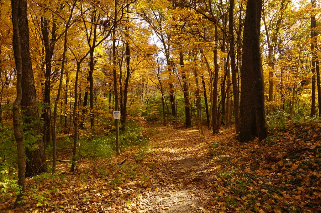
The trail is thick with crunching leaves. It’s busy today, with hikers and dogs rustling through enjoying the sun and the springlike warmth.

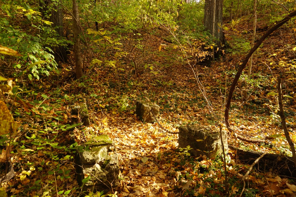
With help from a passing couple, I found some of the old seminary ruins; a nearly intact foundation surrounded by tumbled blocks almost buried in the leaves,
and a tiny, ancient looking bridge.

I was glad to have the app as I scrambled down the hill. The trail basically disappeared in a tumble of leaves. I think I would have had to backtrack the way I came without it.
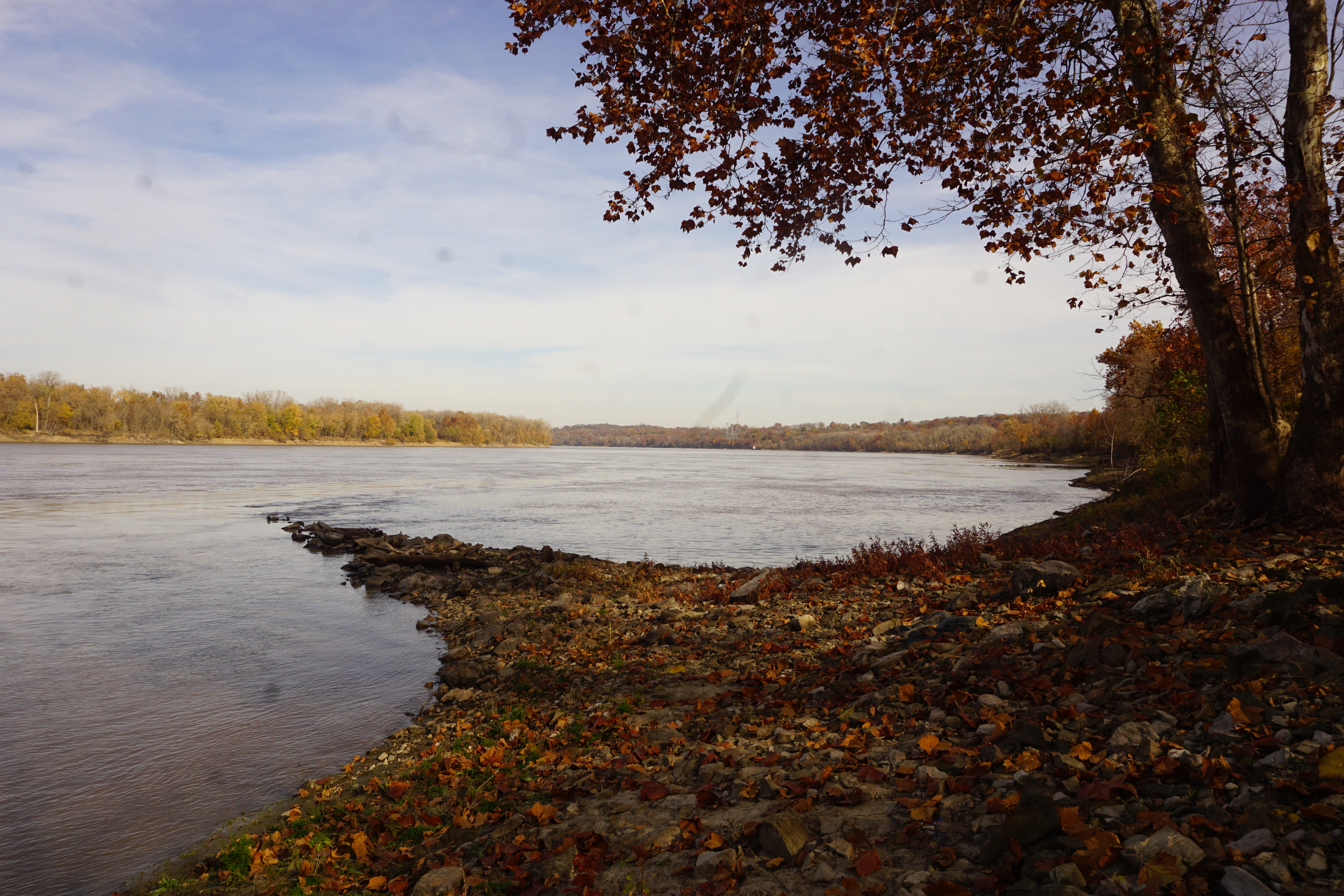
I followed the skimming blue dot down to the river bottoms and out to the eastern end of the trail, where it meets the Missouri River. It’s almost silent here. Traffic is just a distant hum as the water laps against the stones.

Heading back along the outer route, the trail is narrow and knobby with roots. It edges along the winding banks of Cowmire creek, making it easy to follow even when it temporarily disolves into the bottoms.
The circuit completes back at the bridge, with other beautiful trails ready to explore in the opposite direction.
