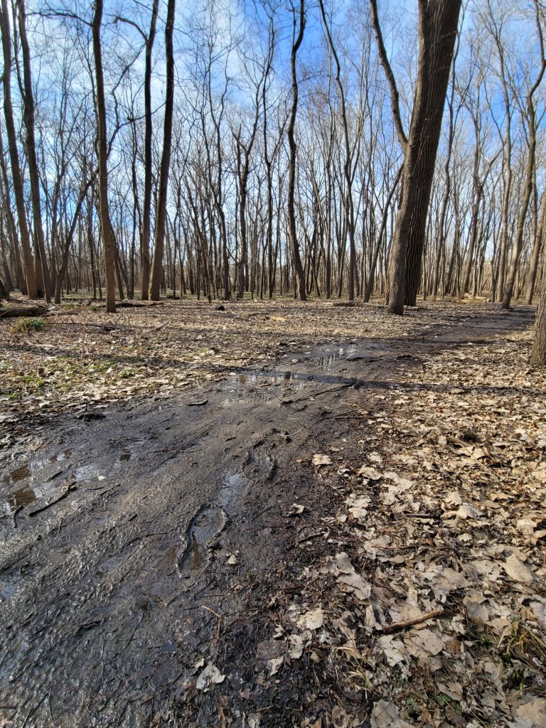
A mountain biker, with mud thickened tires, was cheerfully surrendering his quest as I squelched across the trailhead.
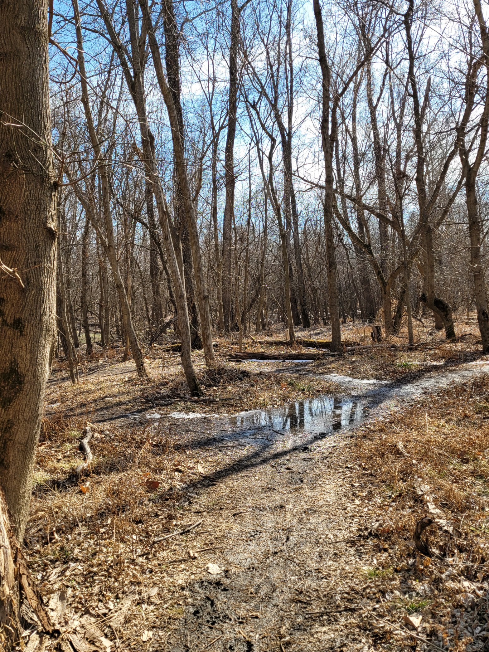
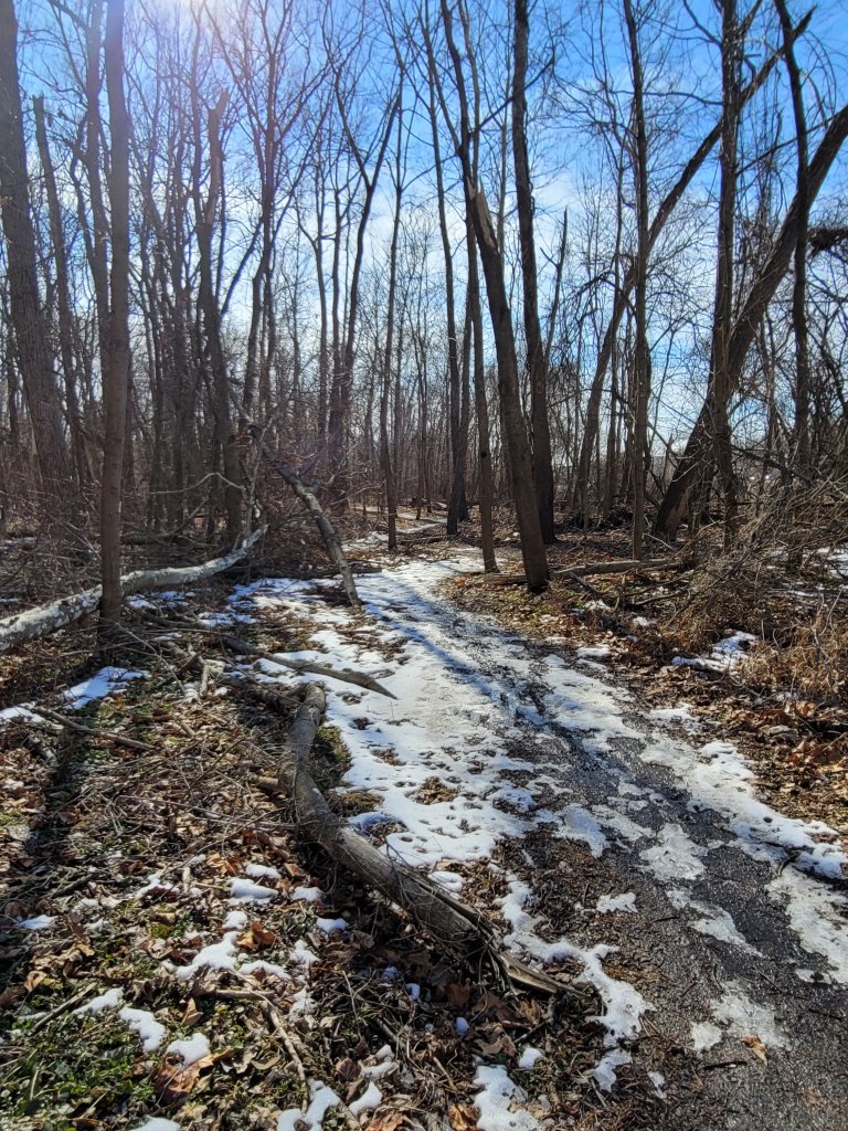
I had the path to myself for the rest of the afternoon. Past the outer edges though, there was still just enough crusty ice to create a walkable surface.
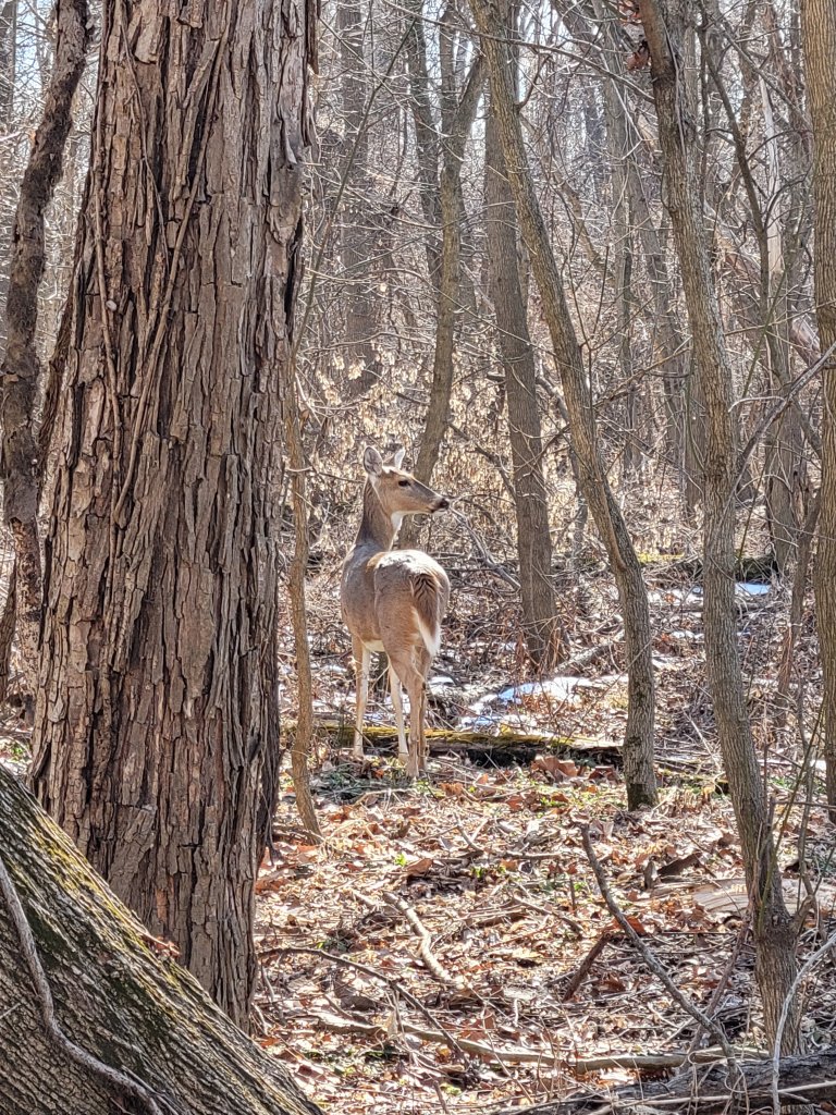
A Red Headed Woodpecker, chortling his irritation with me, soared from tree to tree, landing always on the side of a trunk opposite of the direction my camera.
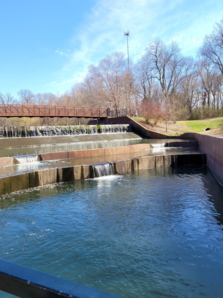
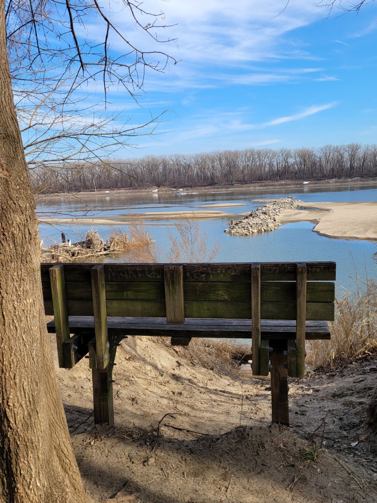
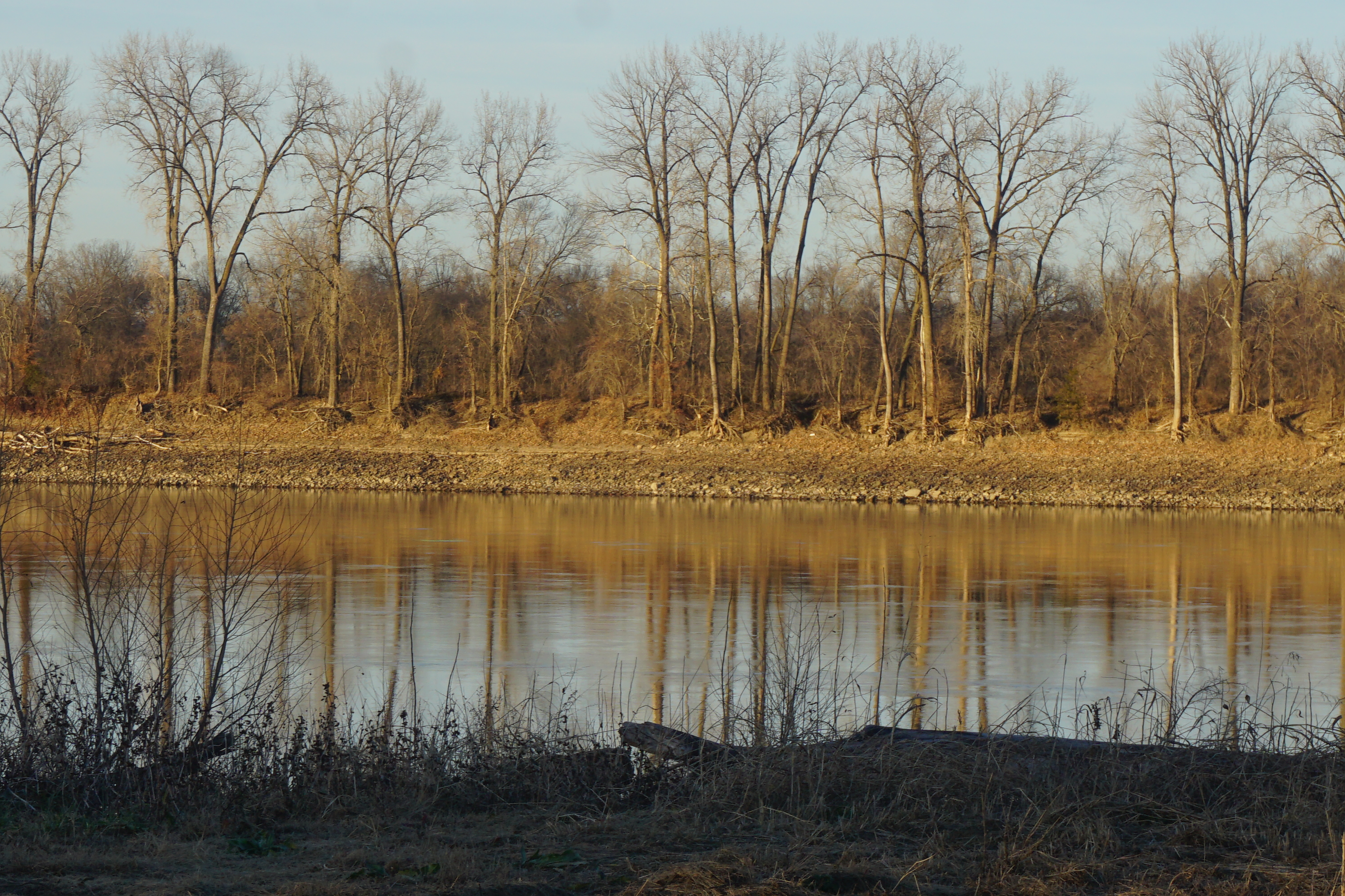
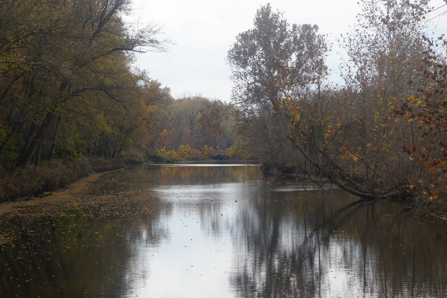
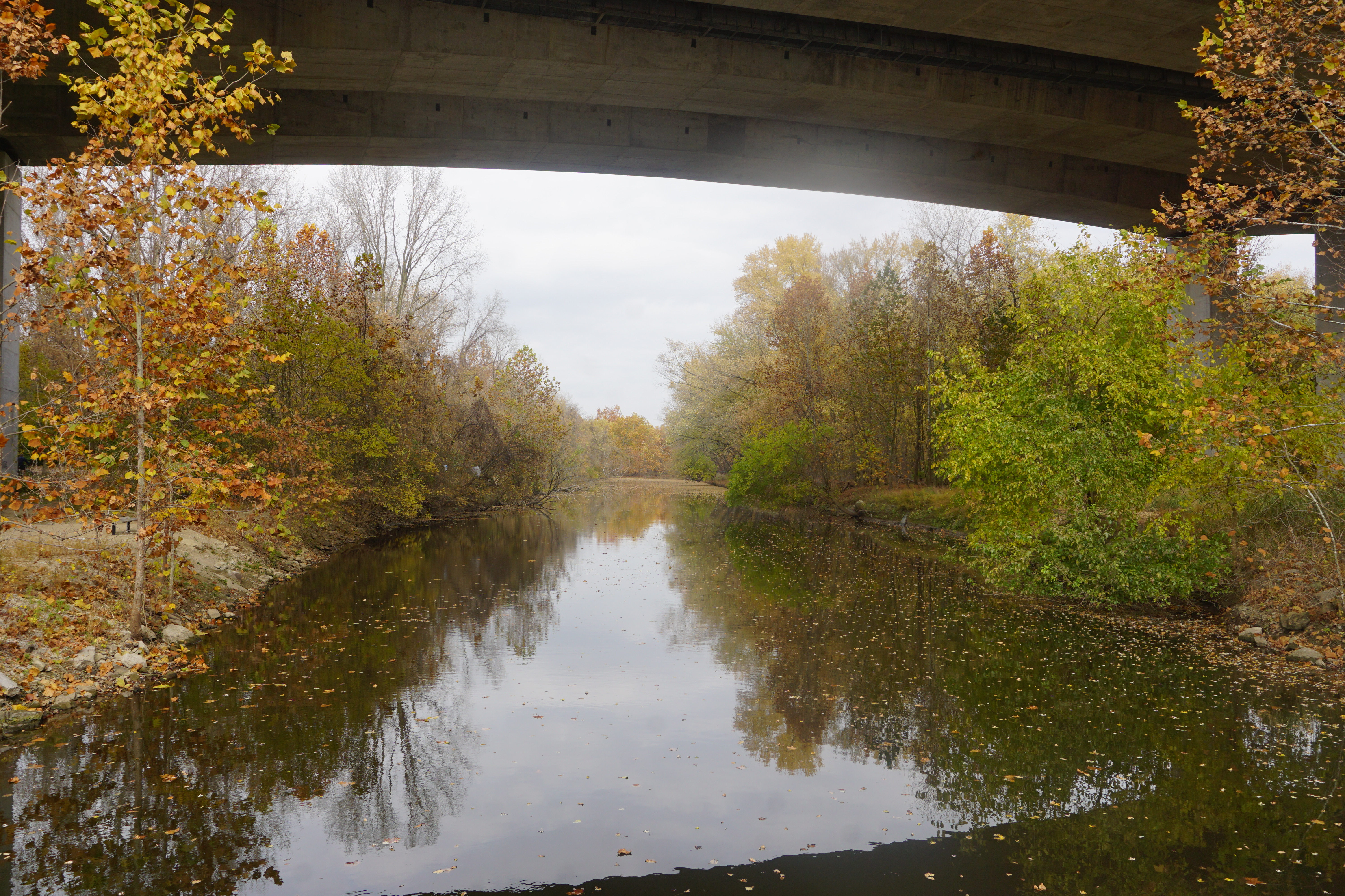
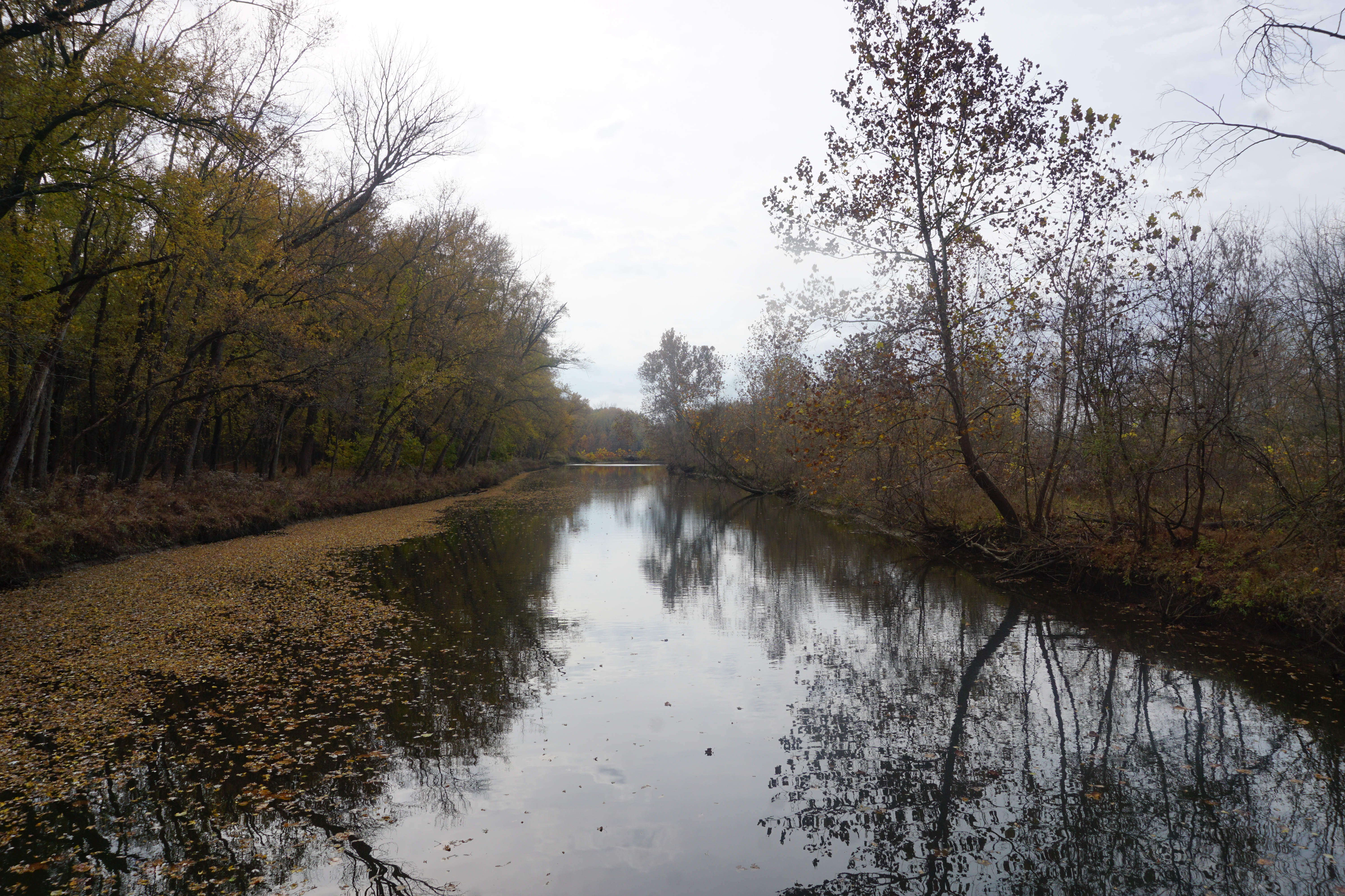
A quiet bench overlooks the cold and sluggish river hopefully resting deeper in the eroded bank than it appears from above.
The skies are still clear, the breezes still warm, teasing the end of a winter that plans to come crashing back in two days.
I didn’t have much time left. The afternoon was stuffed with chores. Paperwork to be signed in South County, then a drive a trip to Washington for a last minute gift that was too late to mail. All of it of course, taking longer than expected.
The sun was still high by the time I finished, but the late fall sun was descending quickly. My plan, to search out a new trail in Washington for a bike ride, had to be abandoned for a quick spin along the riverfront.
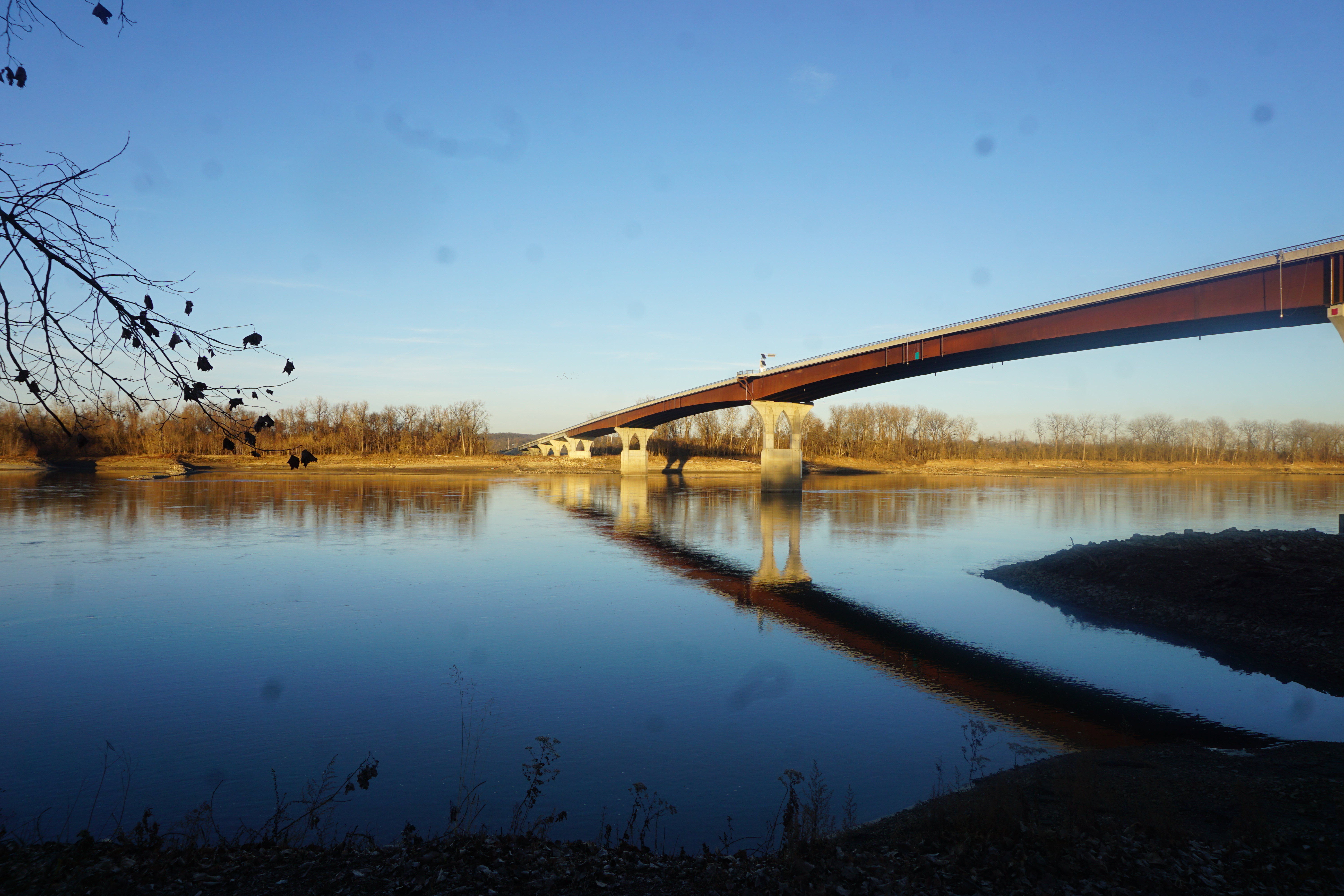
I love downtown Washington. I’ve been here many times for festivals, or a meal in the middle of a Katy Trail ride, or just a short visit to enjoy the beautiful river views.
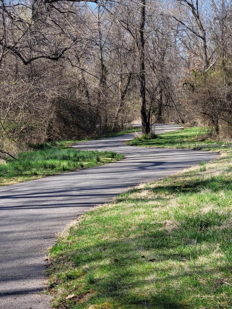
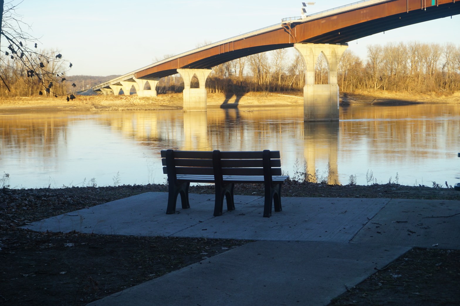
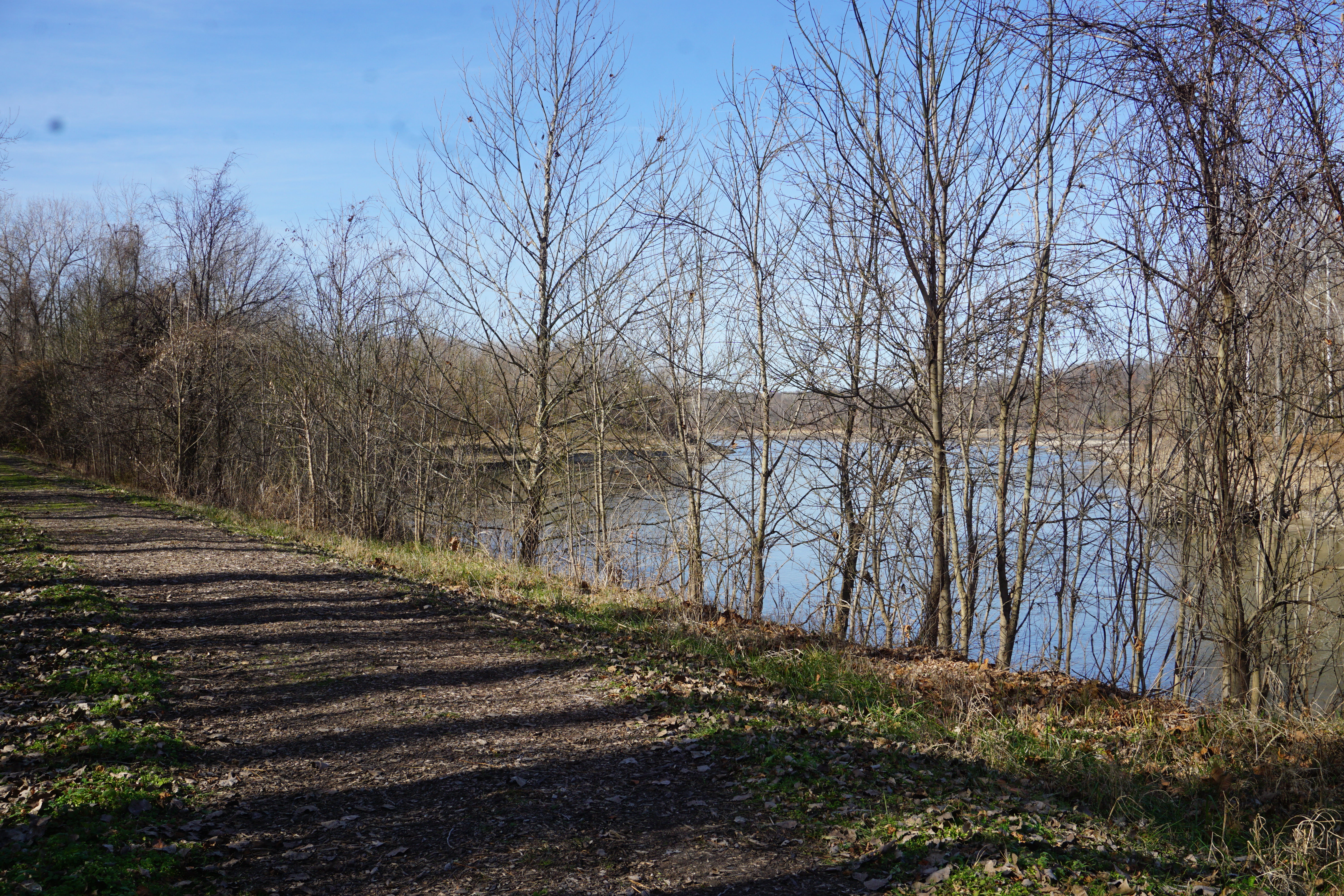
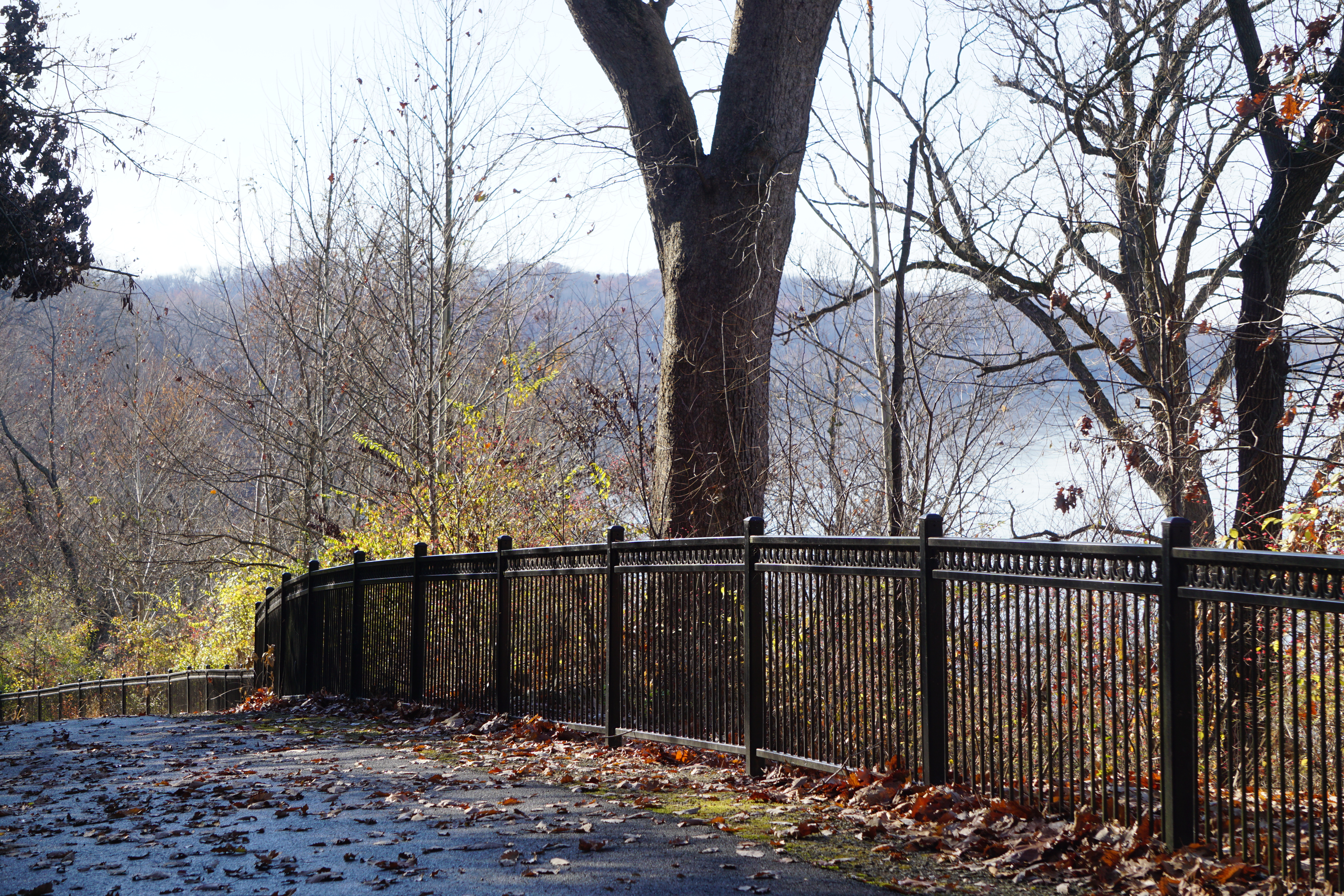
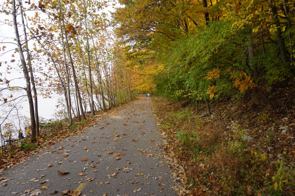
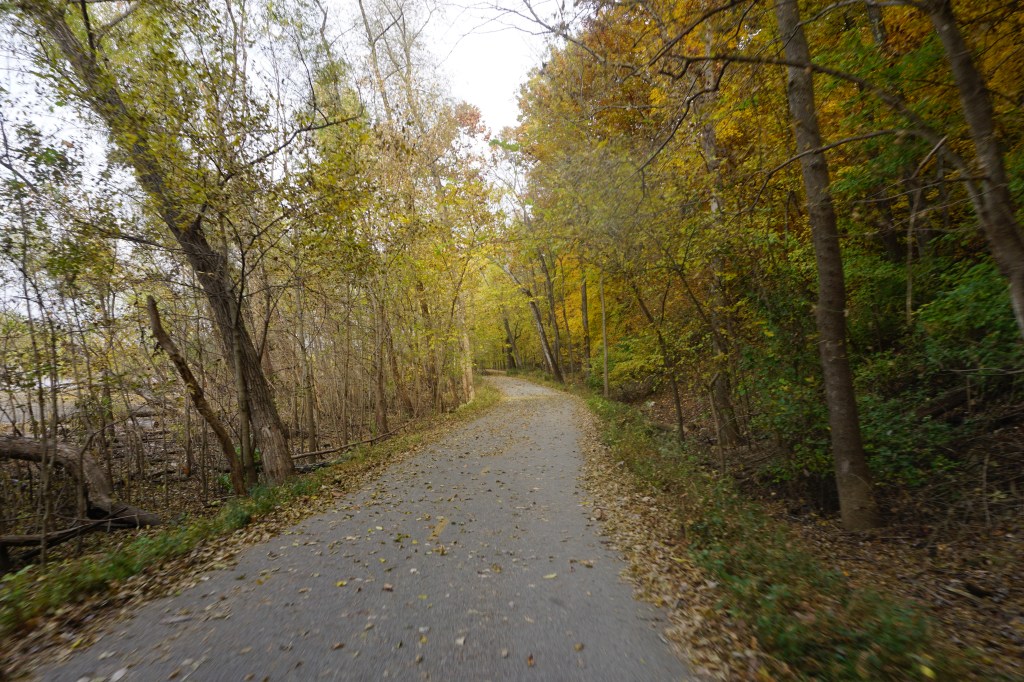
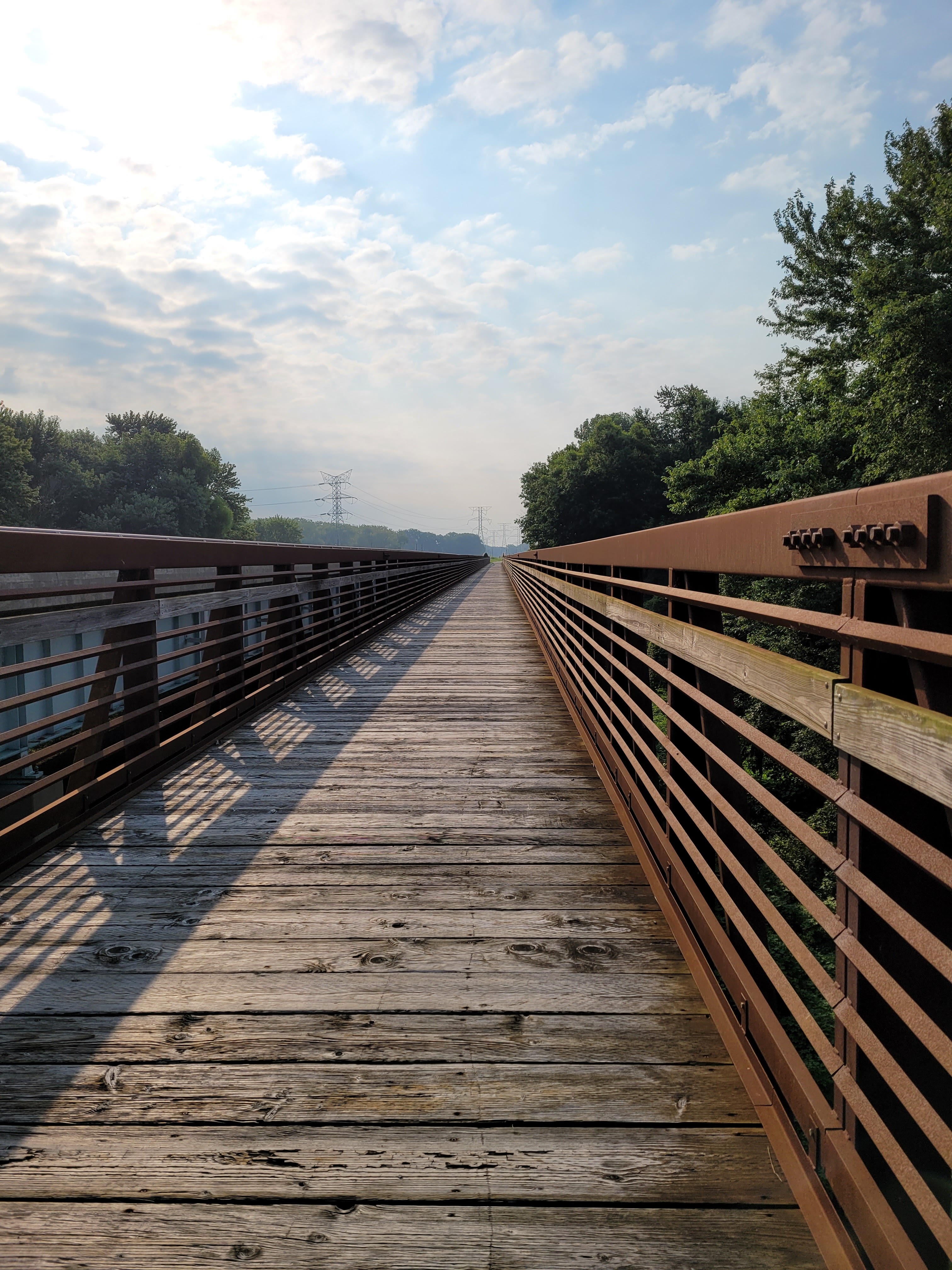
The Rotary trail along the river winds two and half miles in the opposite direction of the busy tourist area. Even near the bridge, it’s surprisingly quiet.
It’s busy today in the late afternoon glow. The lightly cool air and brilliant sunshine have coaxed out runners and strollers and cyclists, all politely making room for each other as we pass.
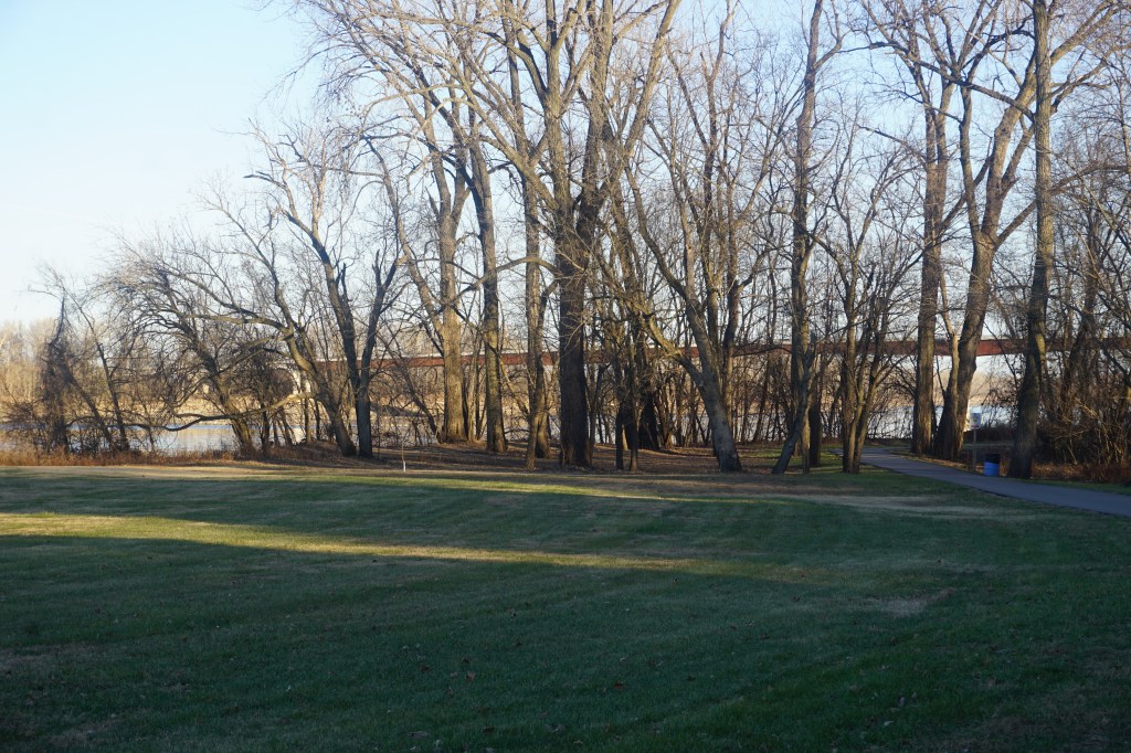
Slanting rays of sunshine brush the tops of the trees as the path edges into shadow.
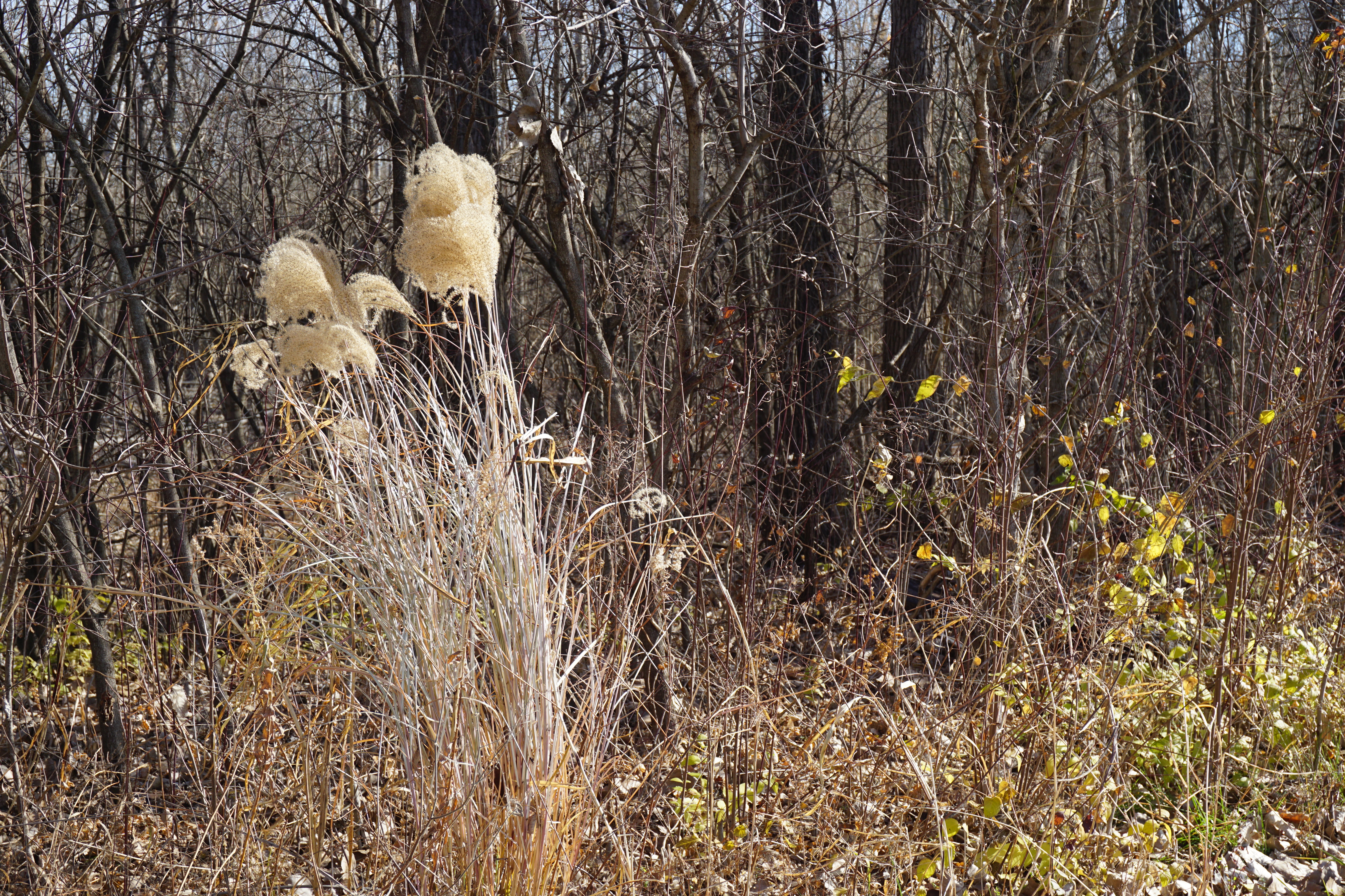
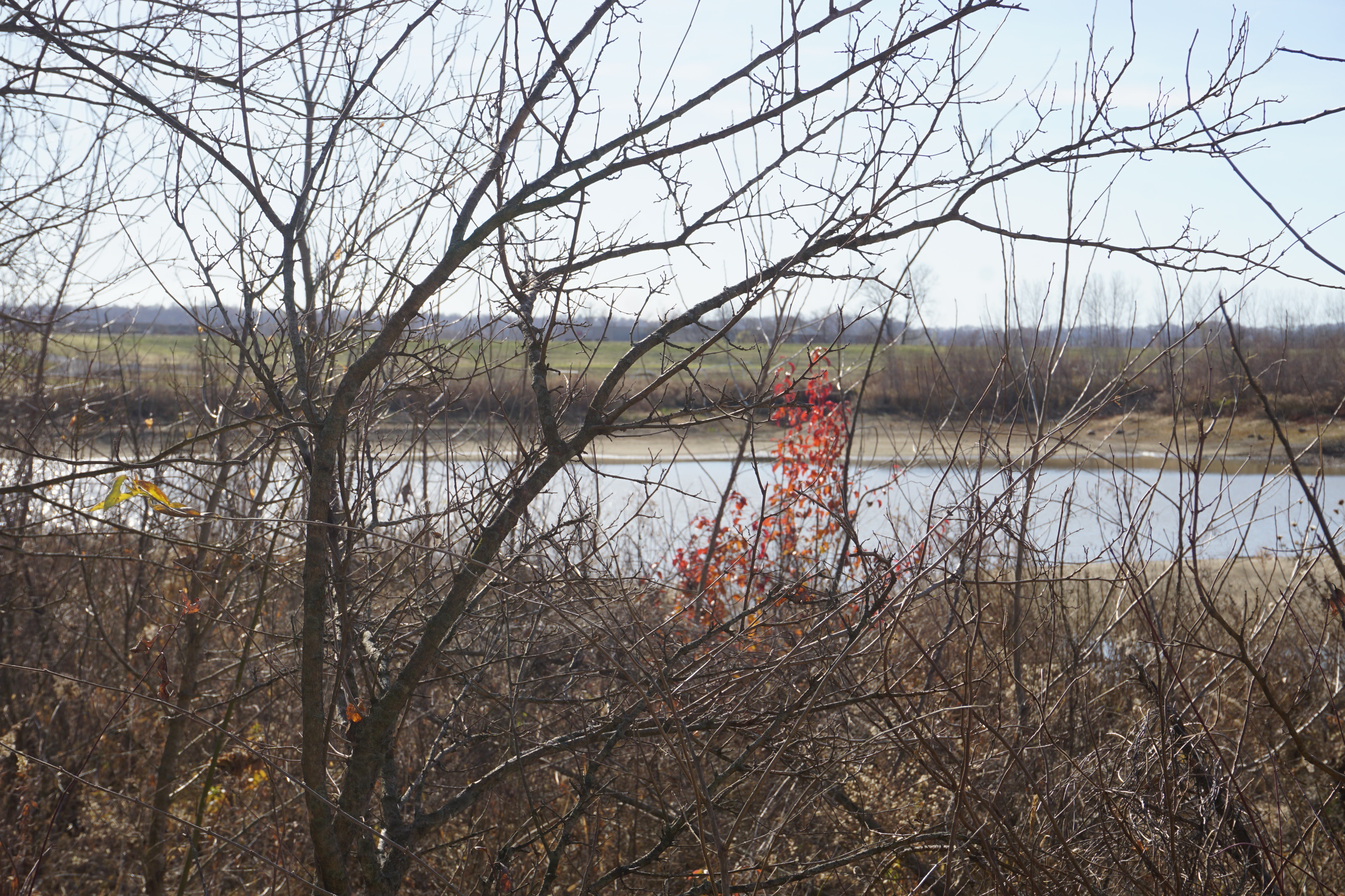
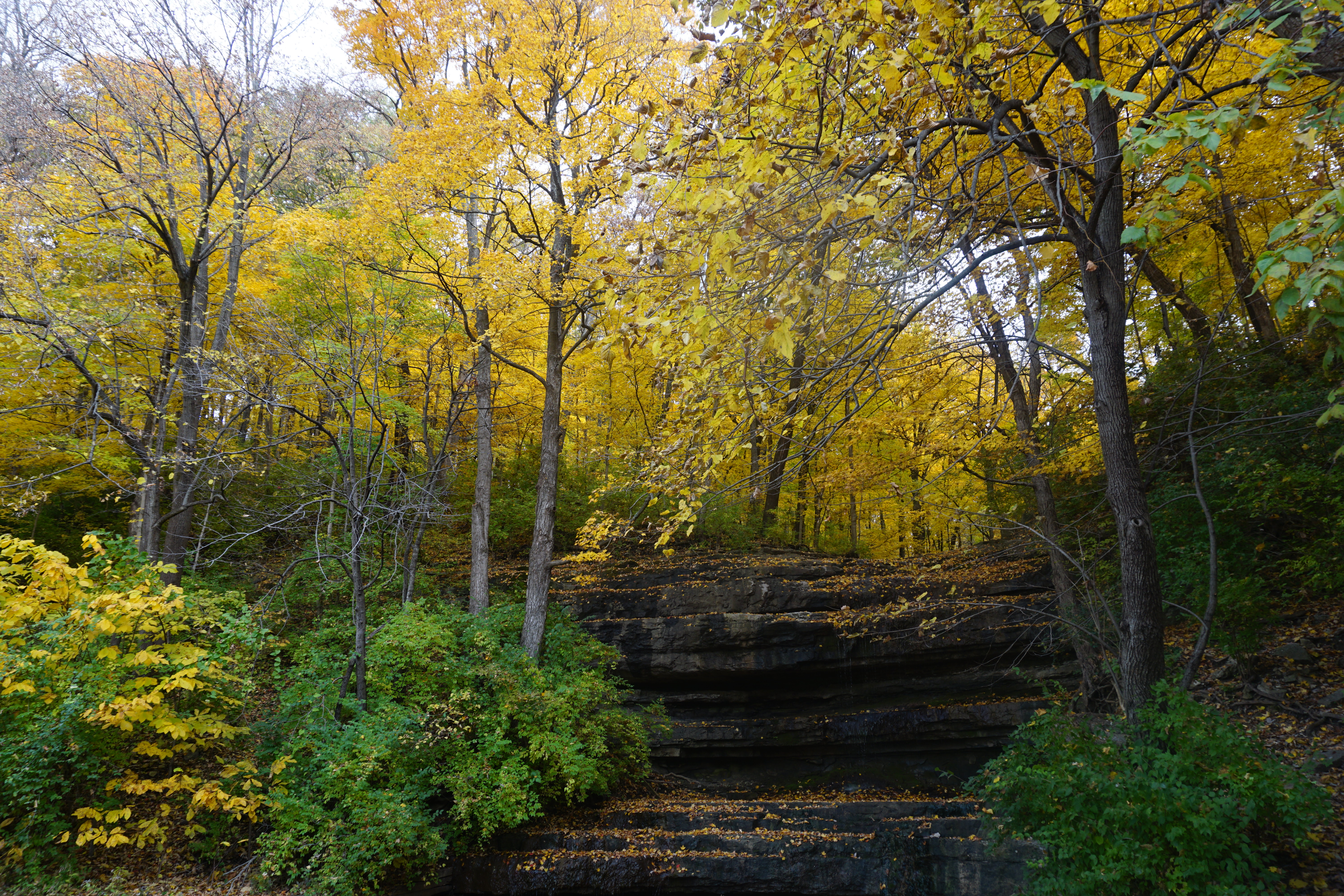
A final splash of fall colors hides at the edge of the woods,
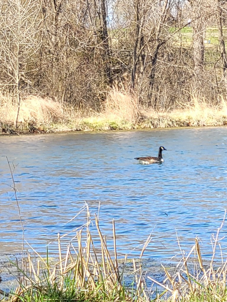
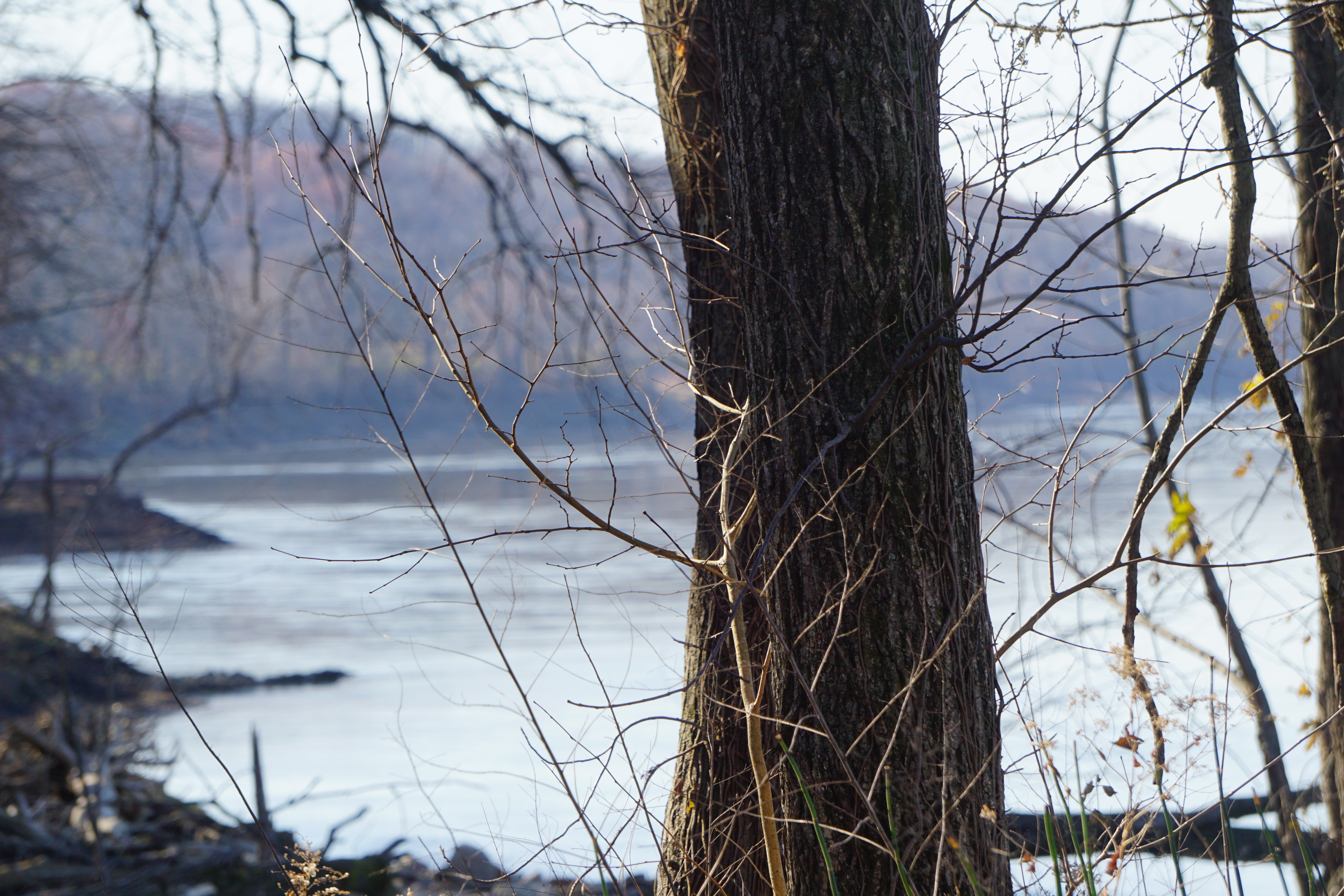
while the river captures the stark, reflected, beauty of the trees in their wintery strength.
It’s the first week of December, the skies are brilliant blue, and the temperature is edging into the 70s.
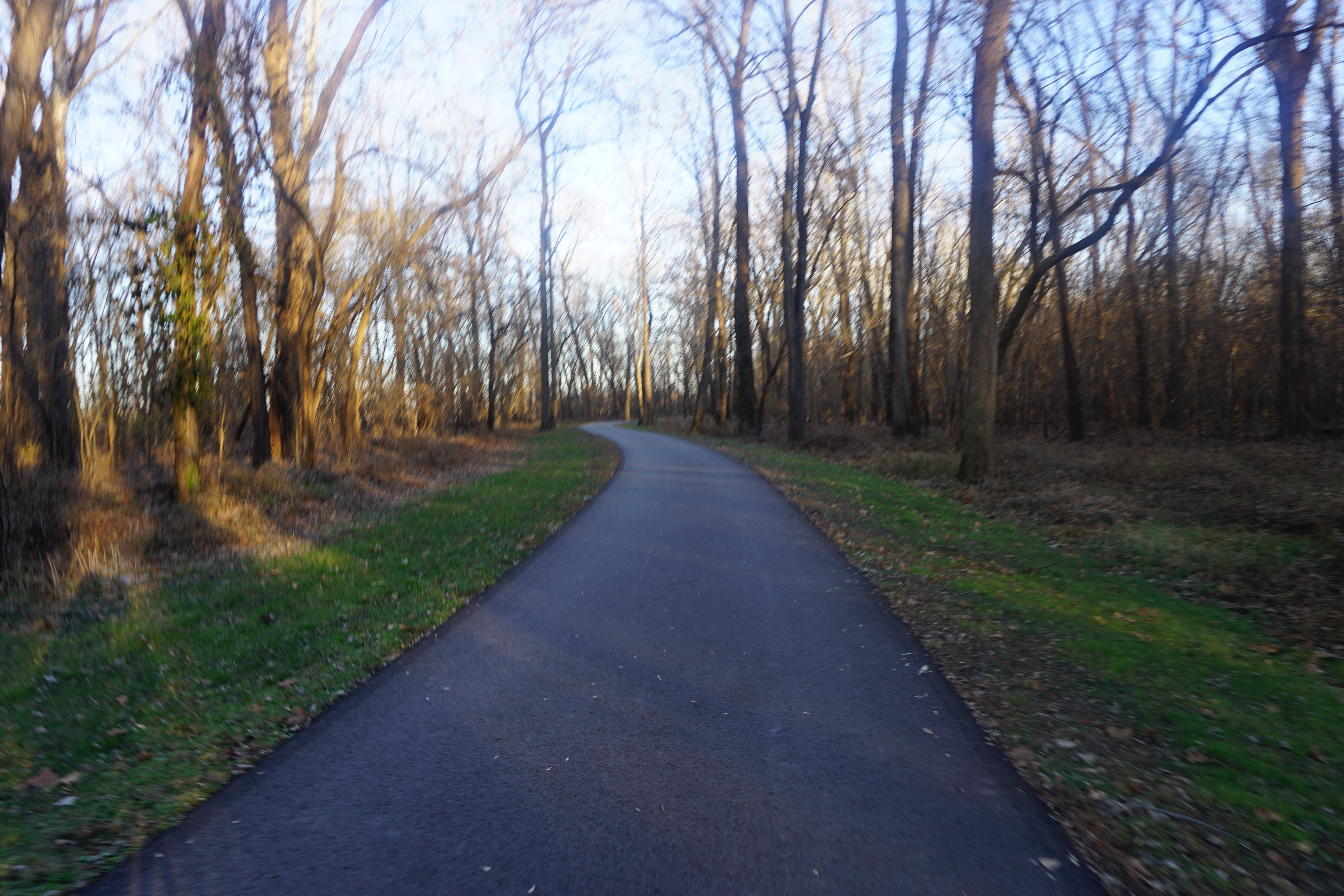
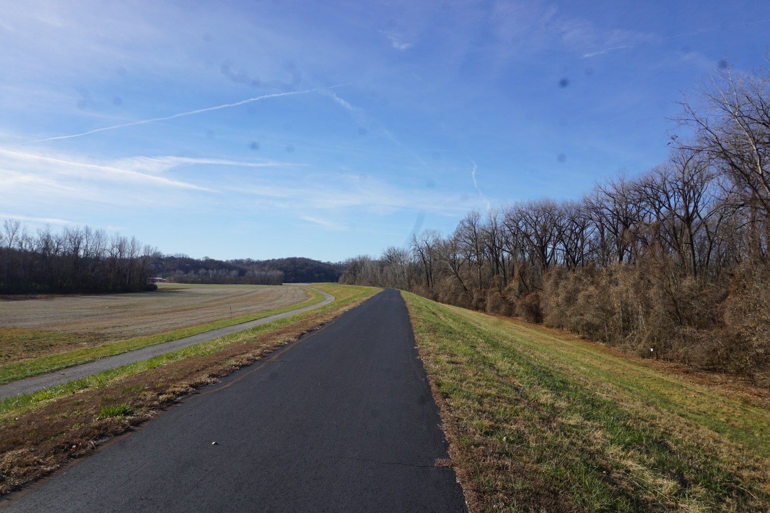
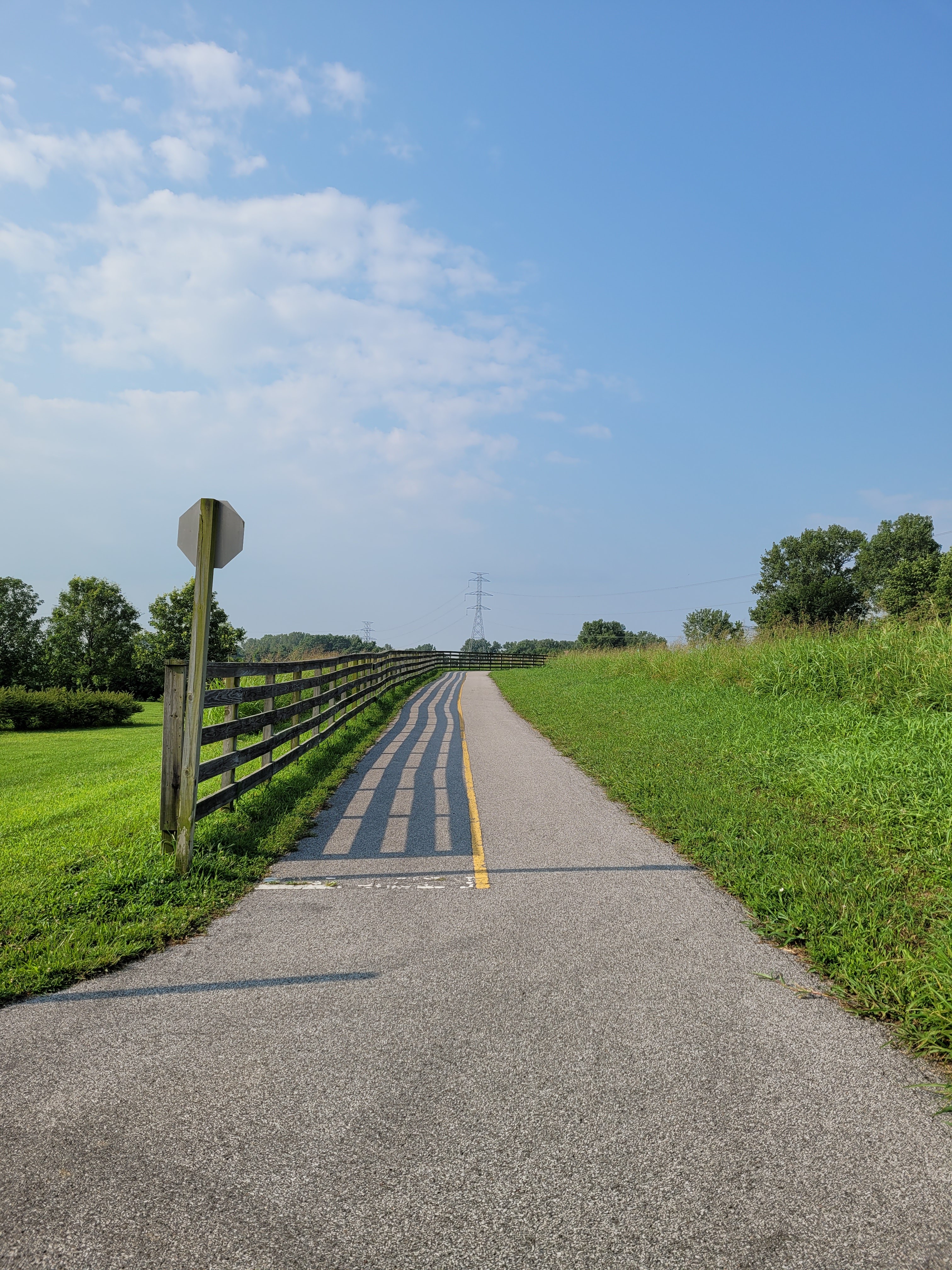
I loaded up my bike and drove to South County to explore the Chesterfield Levee section of the Missouri River Greenway.
It’s a great fitness trail, with a wide, smooth, asphalt surface, though not particularly scenic on the eastern end.
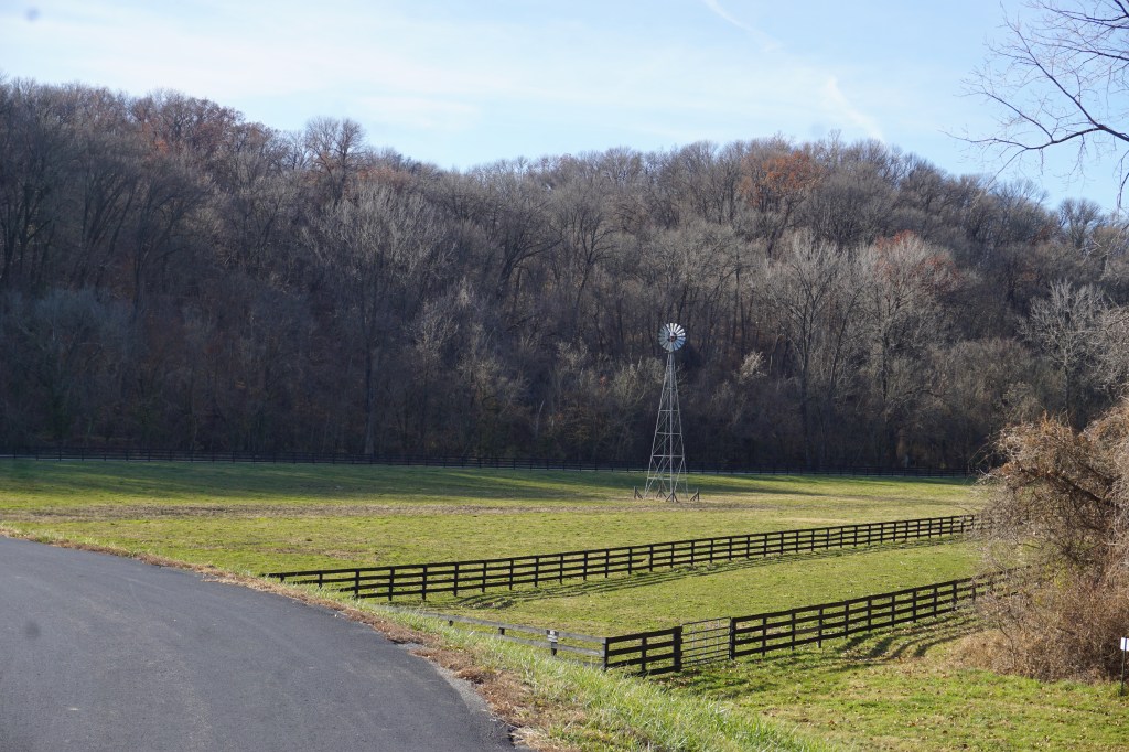
Past the Daniel Boone bridge, it skirts some pretty farmland, and then ends with a beautiful view of the hills at the LeCave Trailhead.
The strength of the trail to me though, was all the interesting access paths.
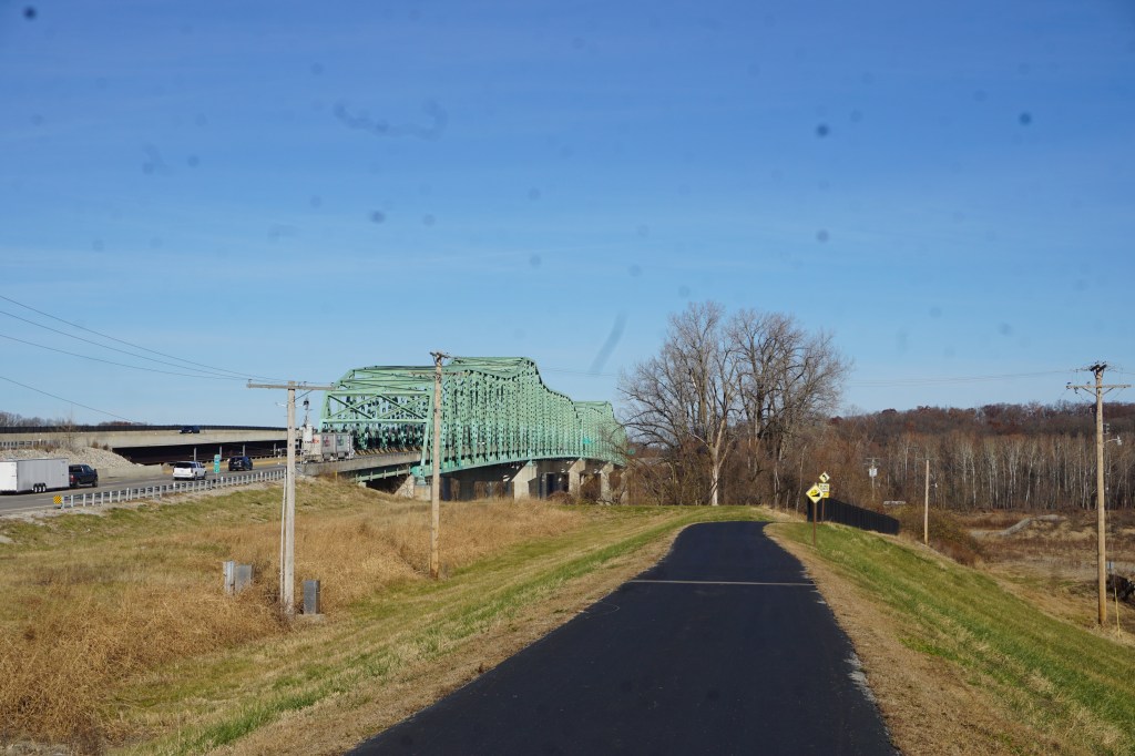
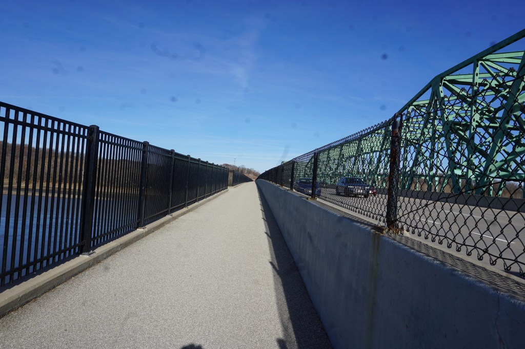
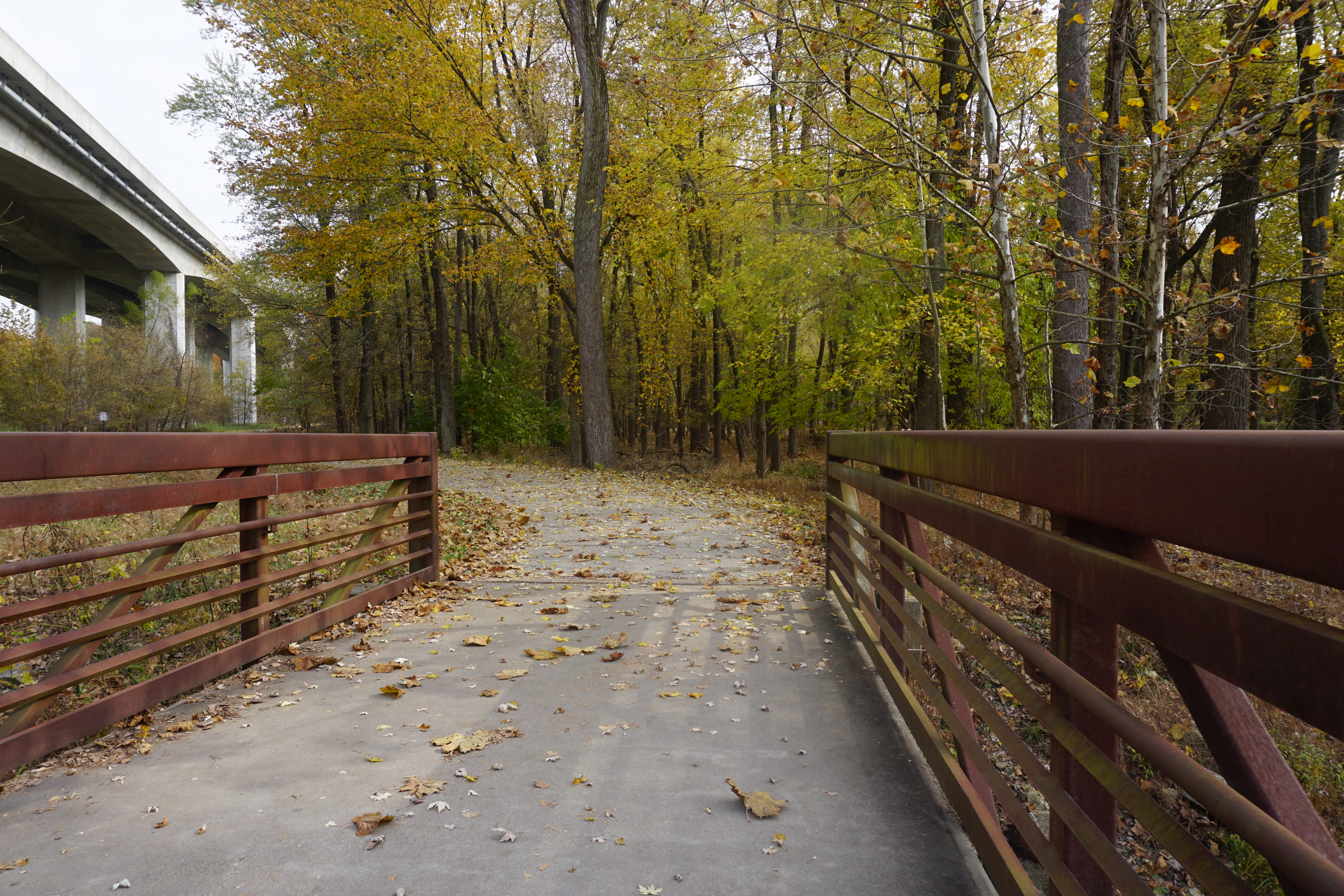
First, a complete separate bike lane bridge crosses the Missouri River and leads to a path down to the Katy Trail. It drops in about half way between the Greens Bottom and Weldon Spring trailheads.
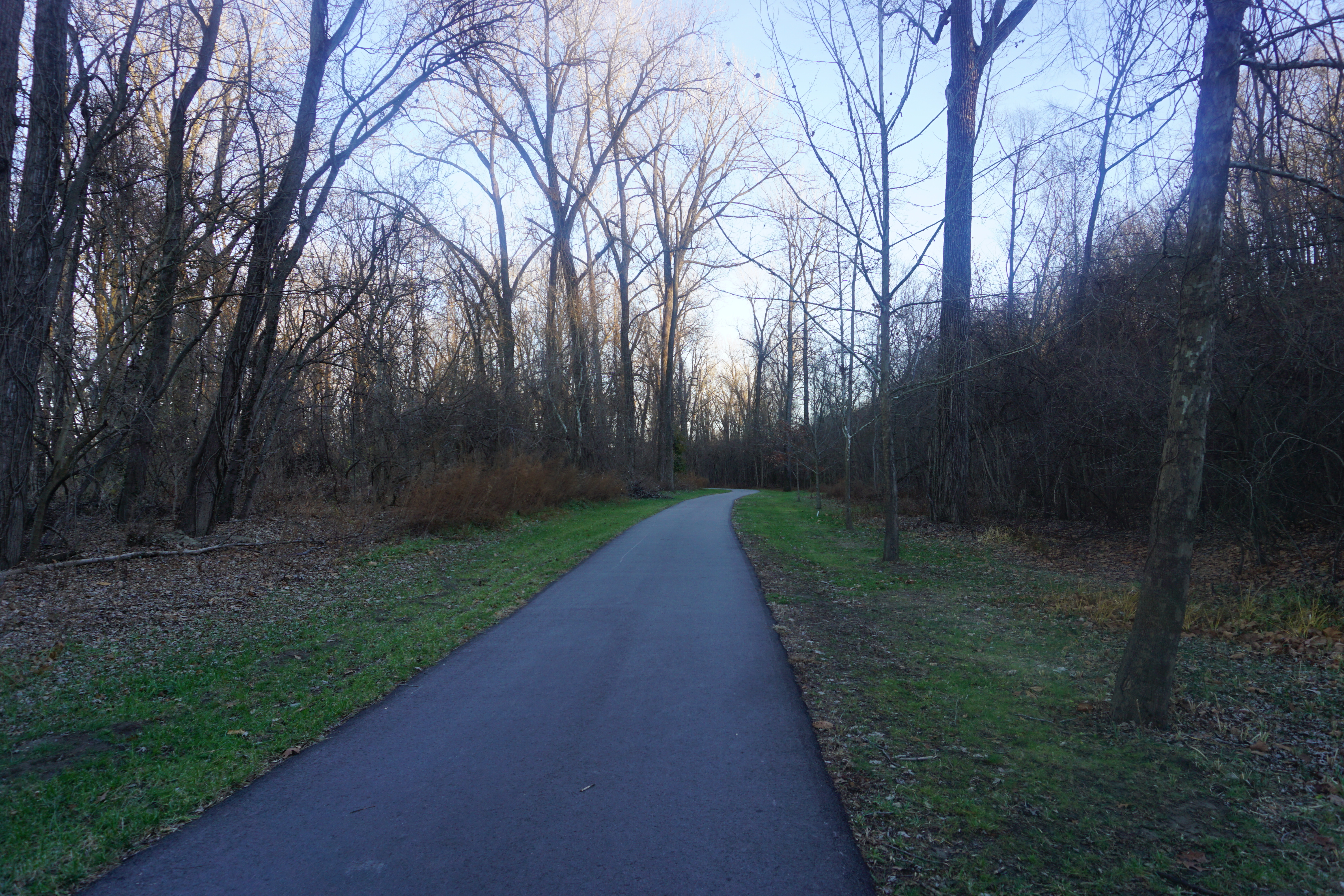
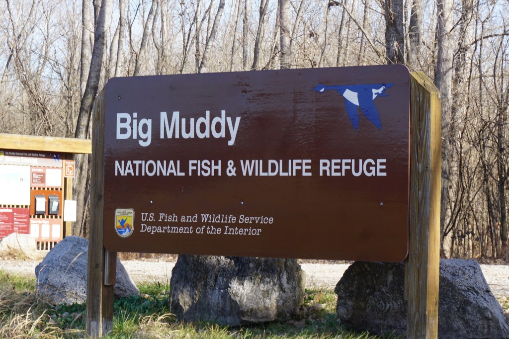
Then, back toward the eastern trailhead, across from the athletic complex, is a bumpy gravel trail down to the Big Muddy National Fish and Wildlife Refuge.
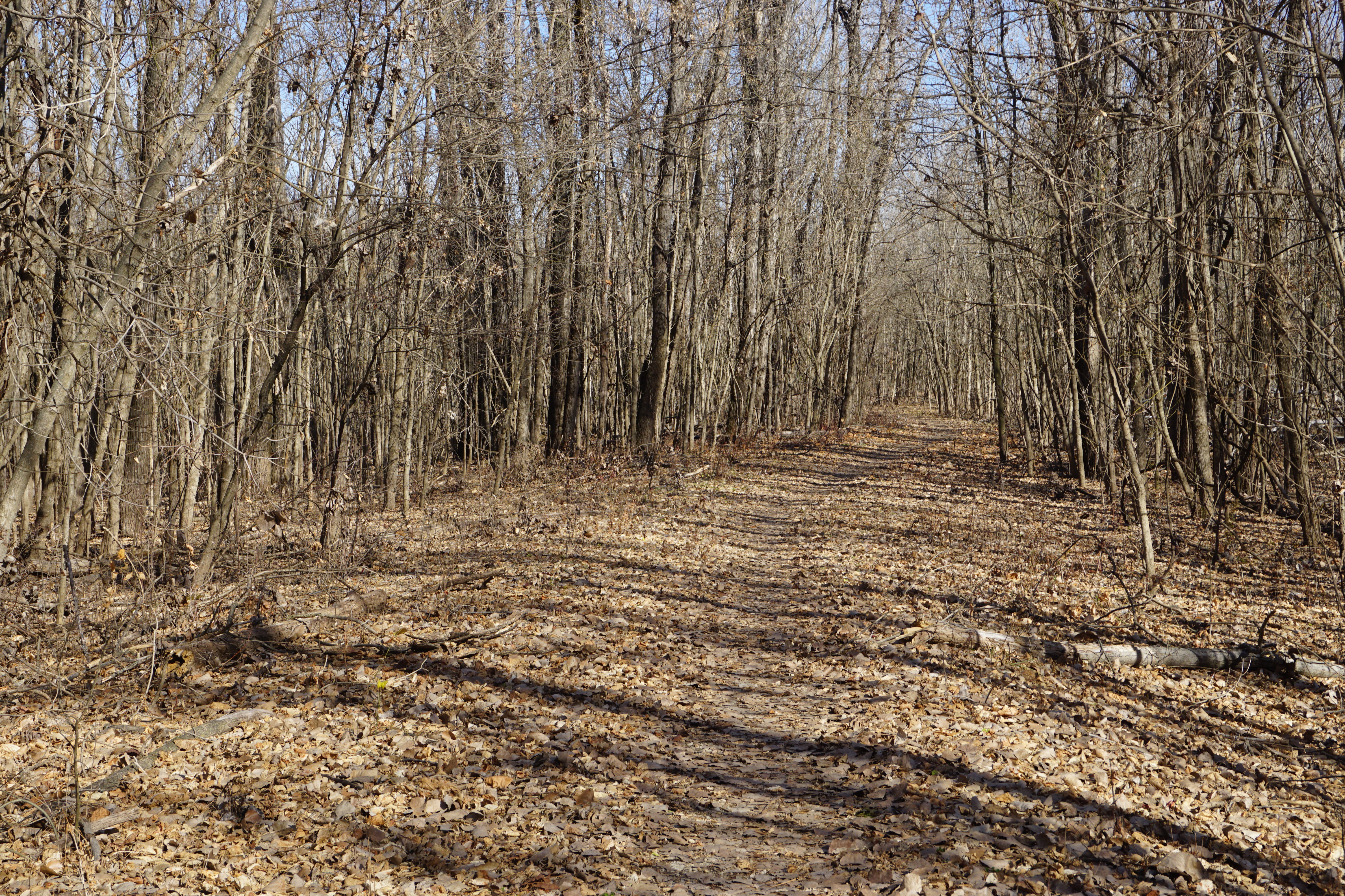
The refuge is limited to hiking only, so I had to put up my bike and return. Even though the greenway was packed by the time I got back, the refuge was completely deserted.
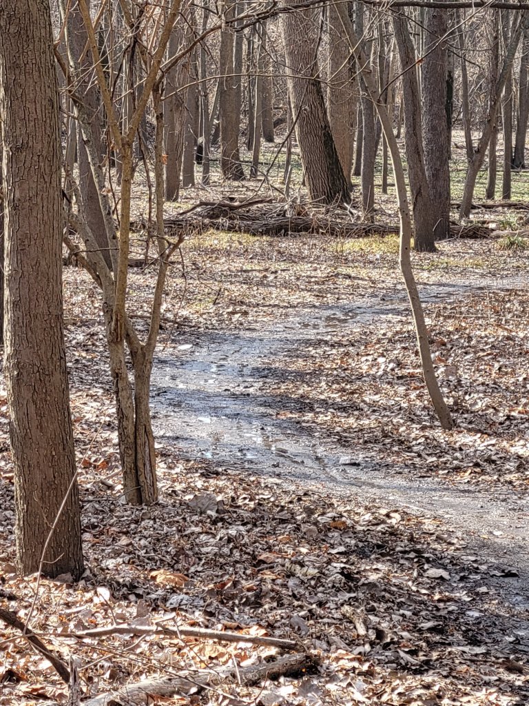
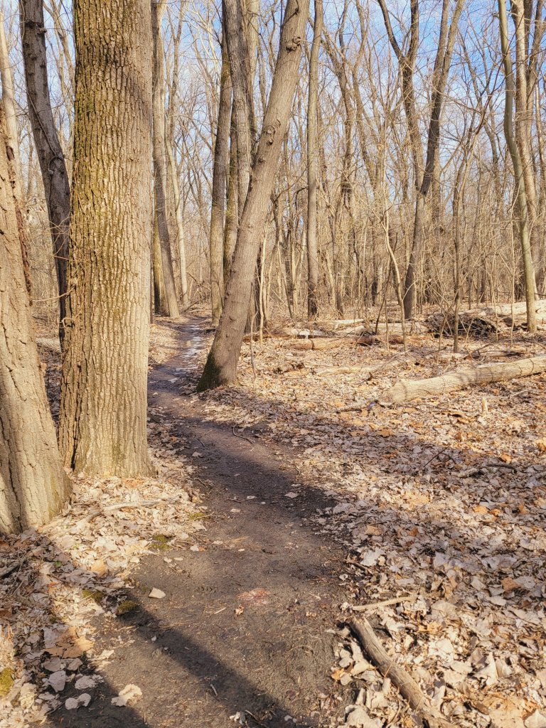
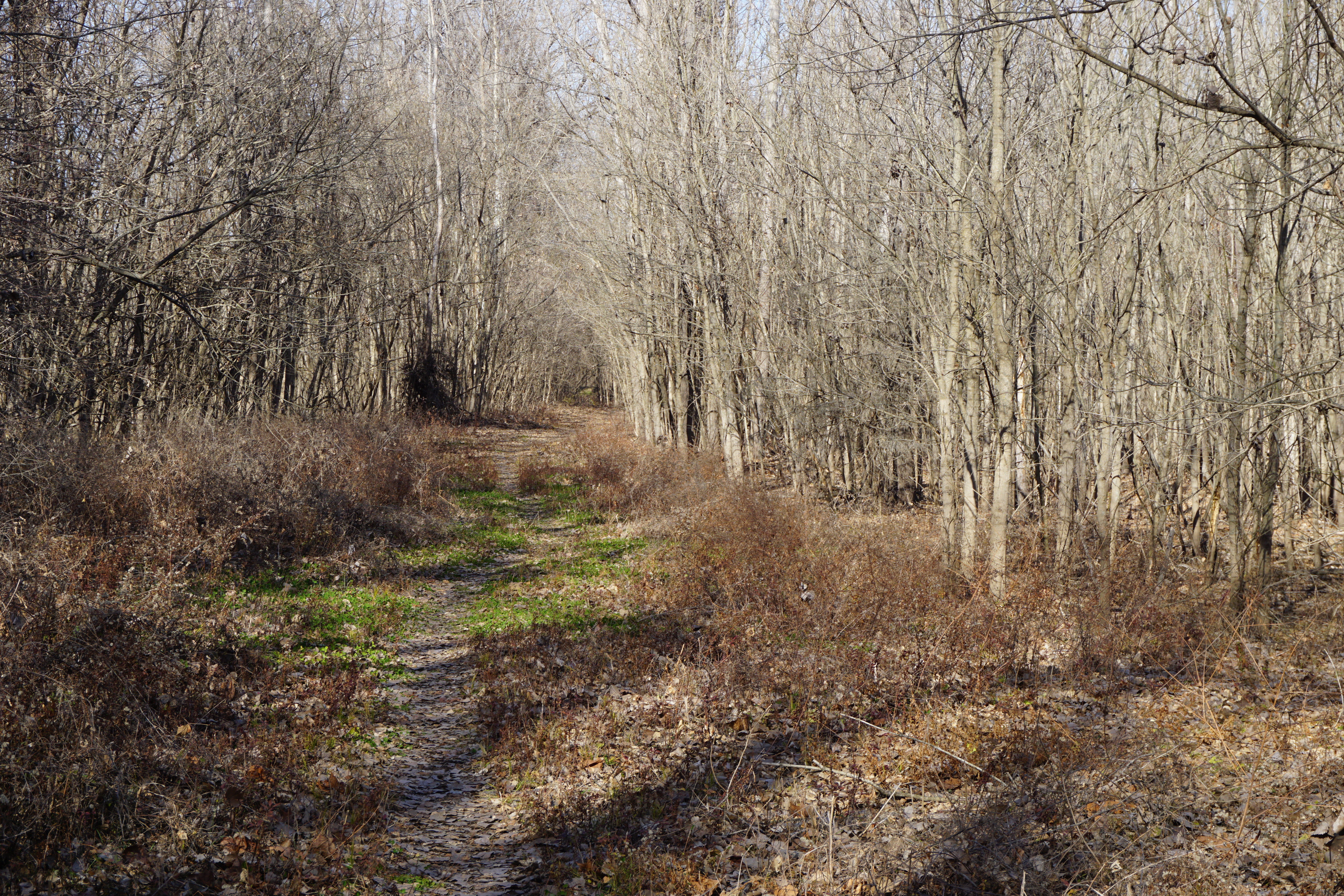
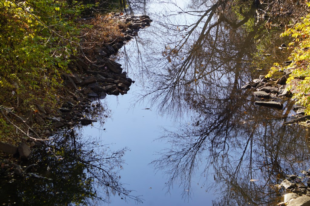
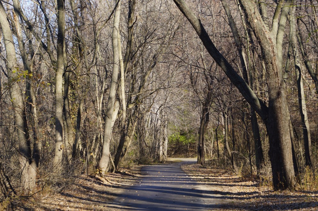
A narrow trail leads quickly into the woods, immediately hushing the roar of the nearby traffic.
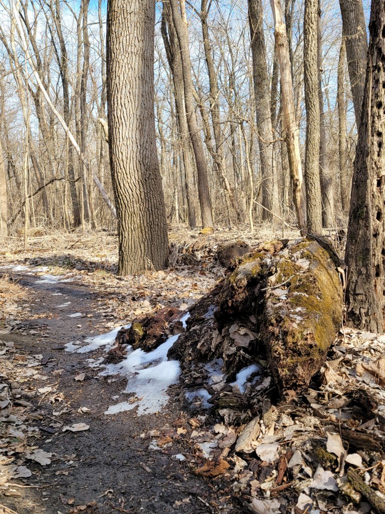
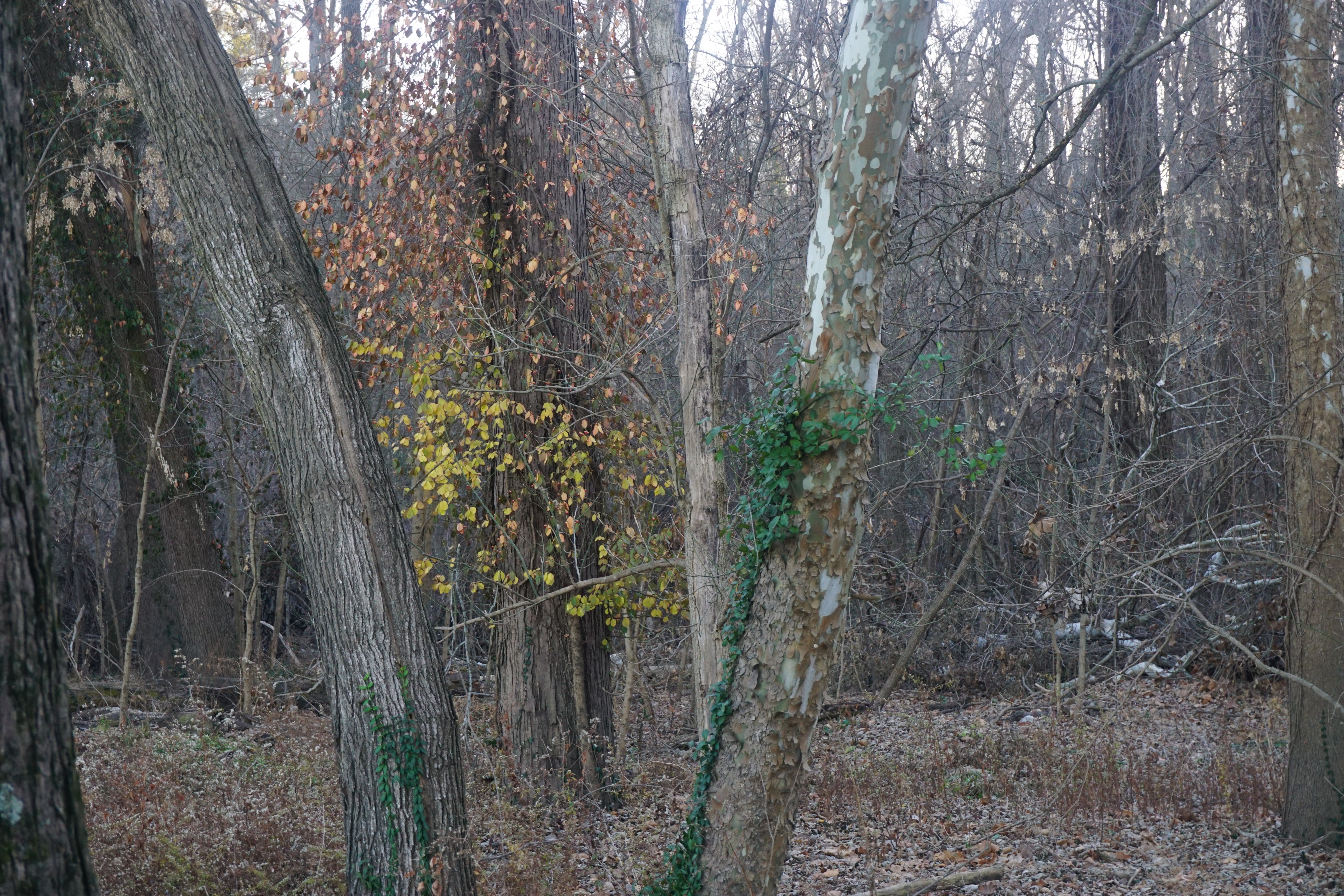
It forms a loop through the bottom land thickets, then along an inlet stream
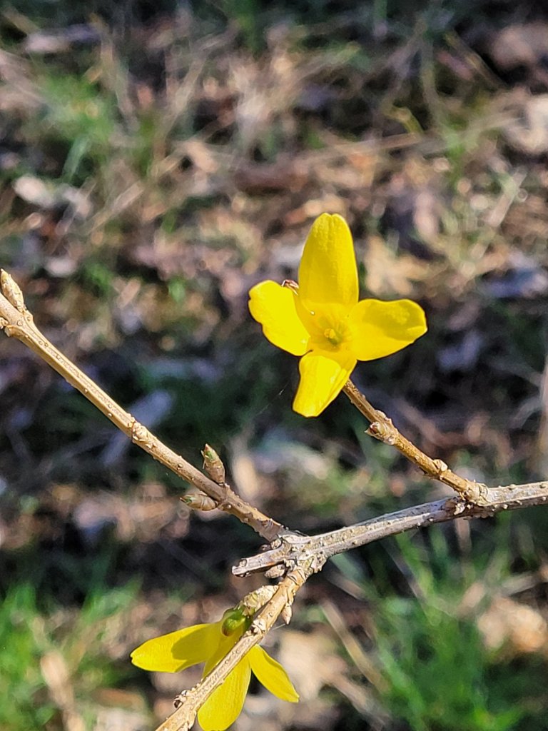
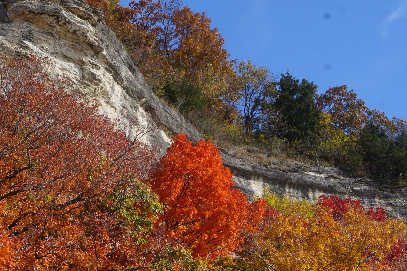
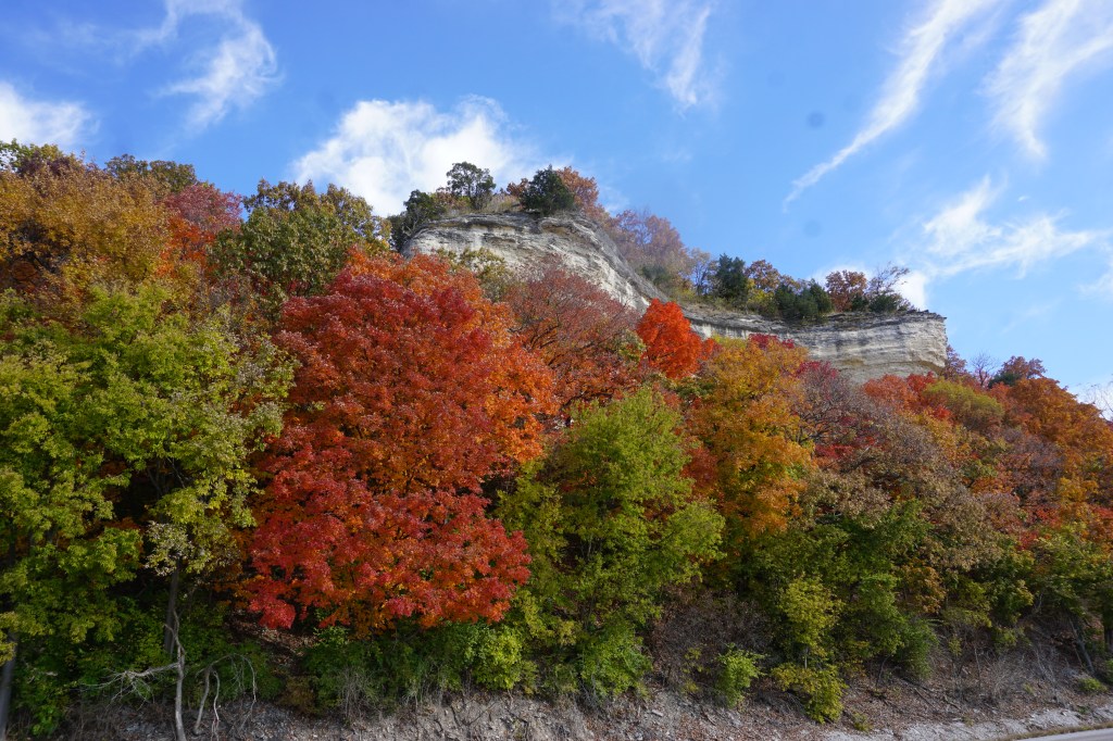
Splashes of wintery colors highlight the stark bare trees,
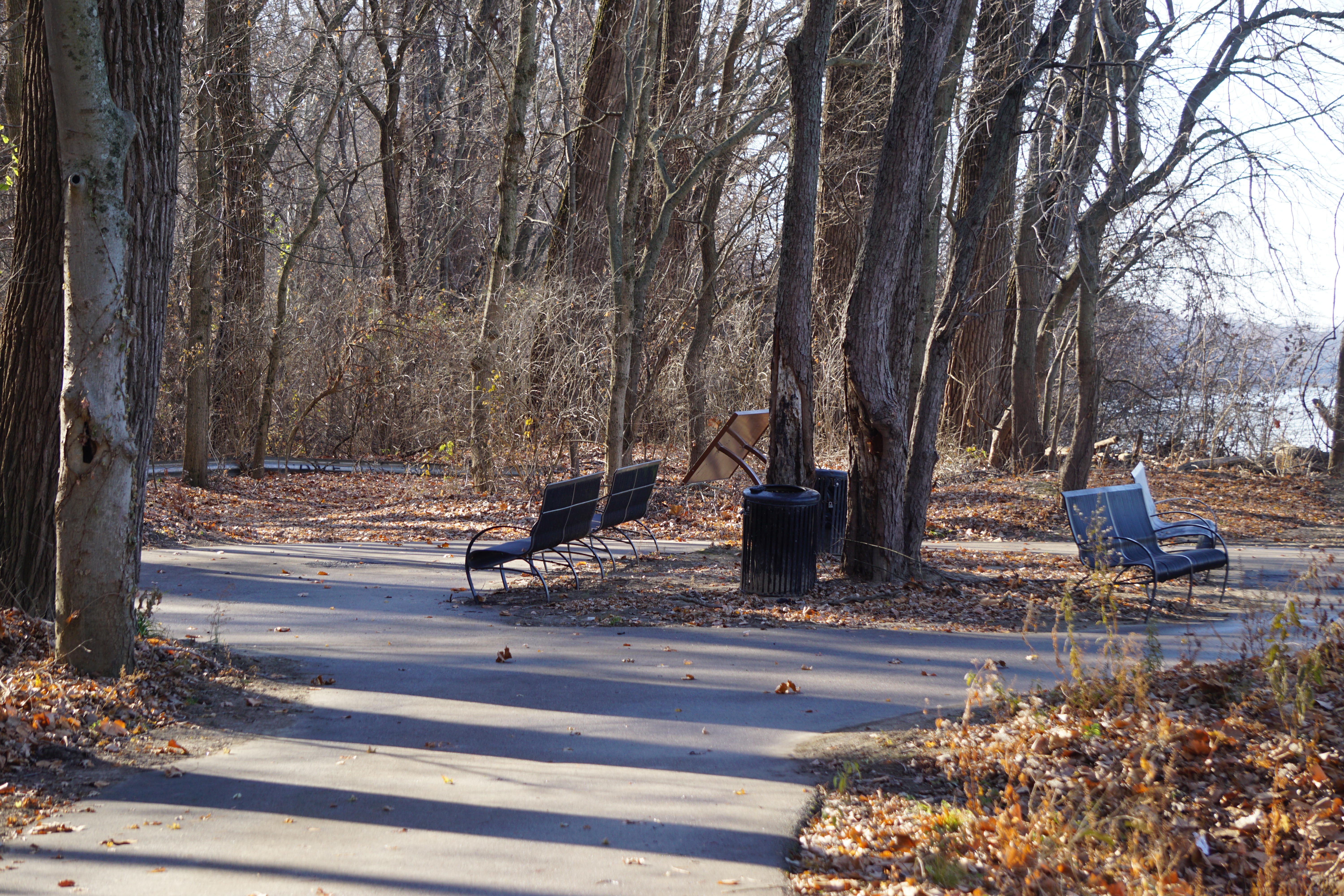
inviting a rest on the bench, that overlooks a tiny pond.
I’ve walked the trail down to the Missouri River from Sunset Park many times. It’s a beautiful, but fairly short walk. I hadn’t realized it was connected to a longer greenway trail through the Old Town Florissant area.
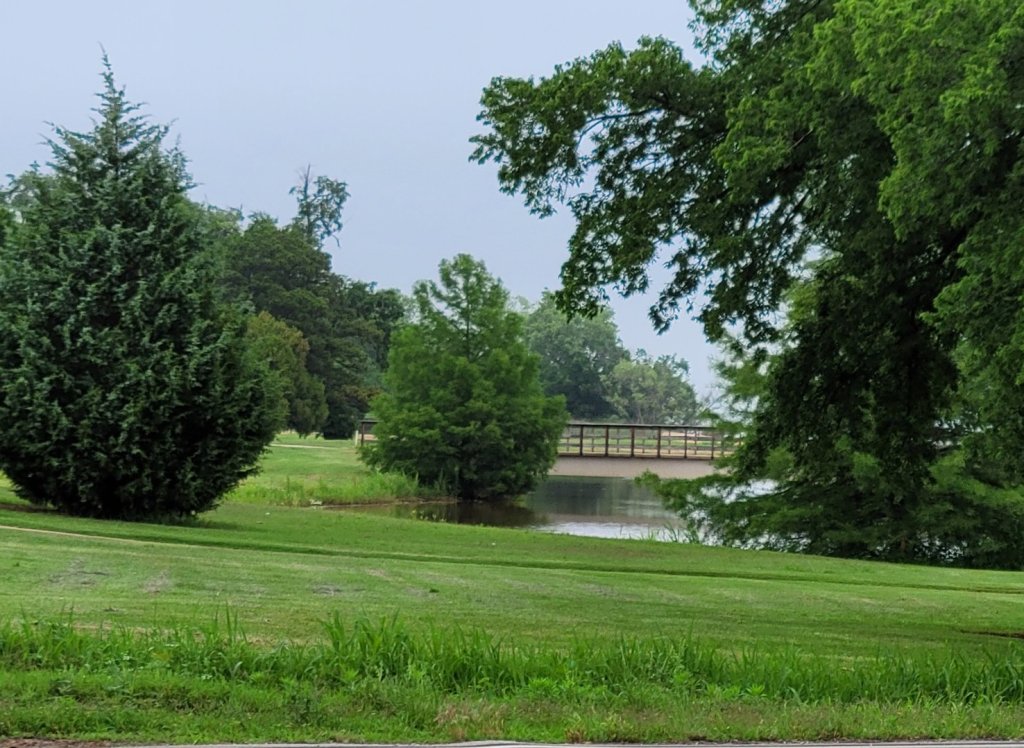
The greenway begins just outside Saint Ferdinand Park, with a pretty bridge over Coldwater Creek.
After a short neighborhood stretch, it crosses to the other side of Patterson Road. The crosswalk initially seems somewhat scary, but it’s not really too complicated. It’s well designed, with clear pedestrian signals for both crossings.
Four lane Patterson Road is loud and busy, and the trail is nicely distant from all the activity.
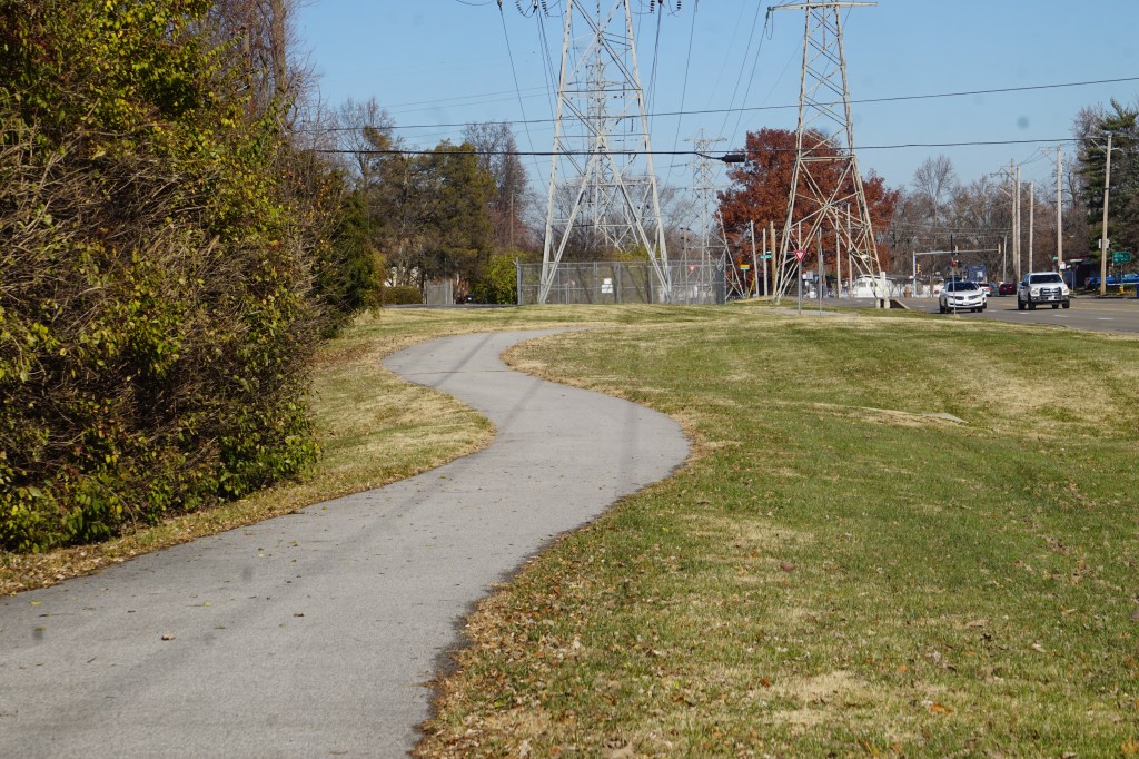
The trail then turns to follow Humes Road after a short distance. It’s a far quieter residential area, lined by houses and two schools.
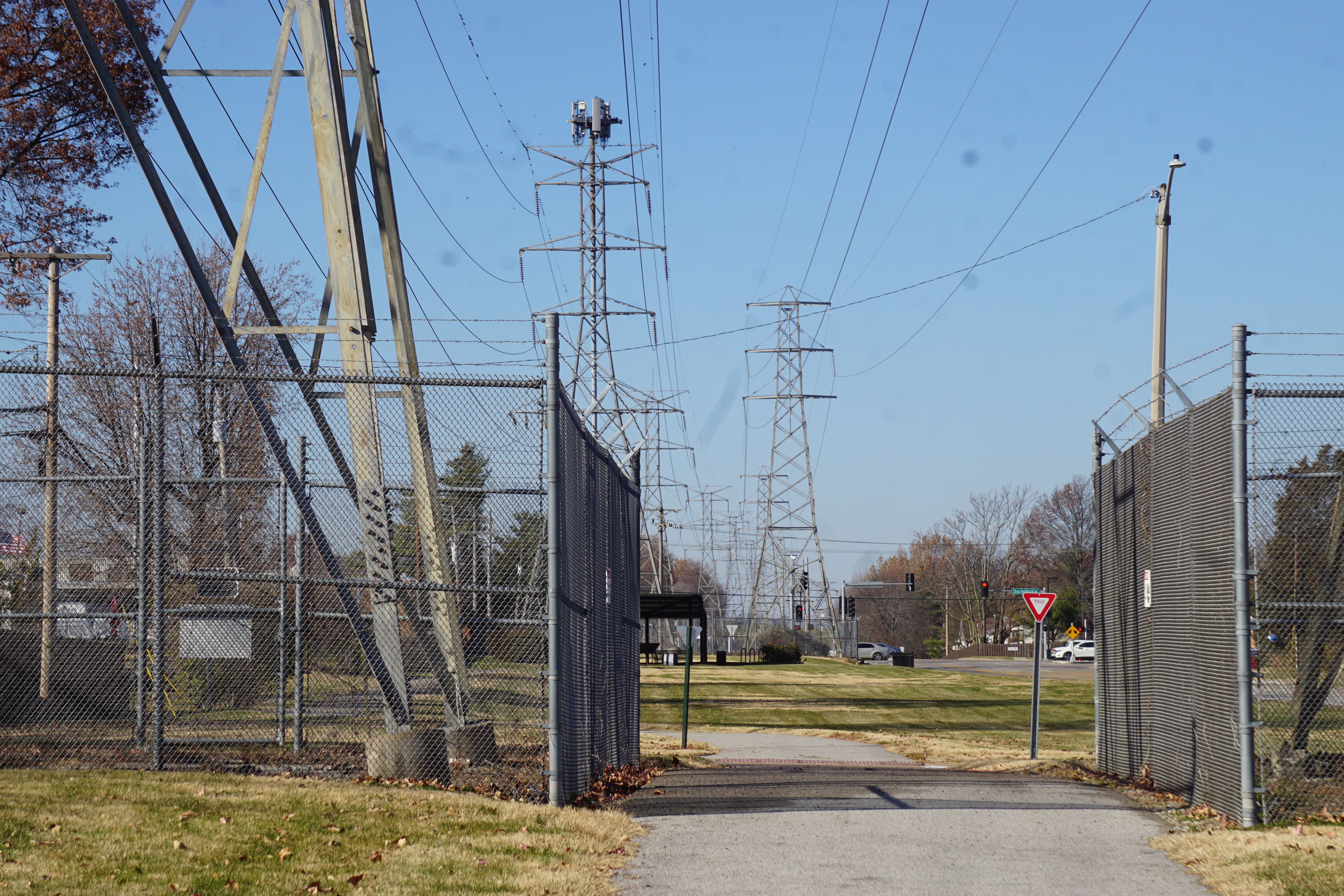
So far, this section seems far better for biking than walking. The periodic electrical towers would worry me if I were walking with small children, but it would be a nice wide family bike route.
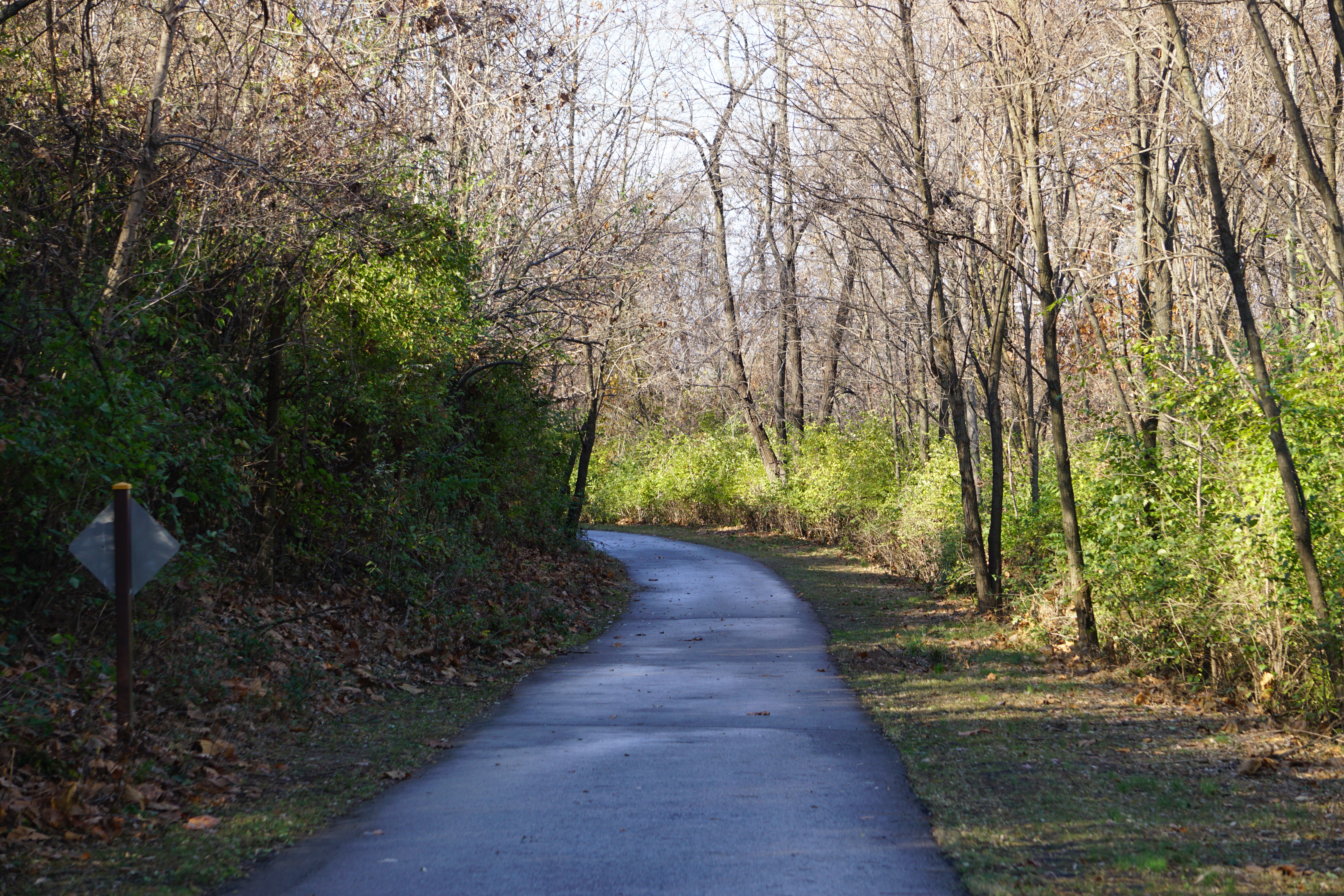
Crossing into Sunset Park, the traffic and city sounds drop away.
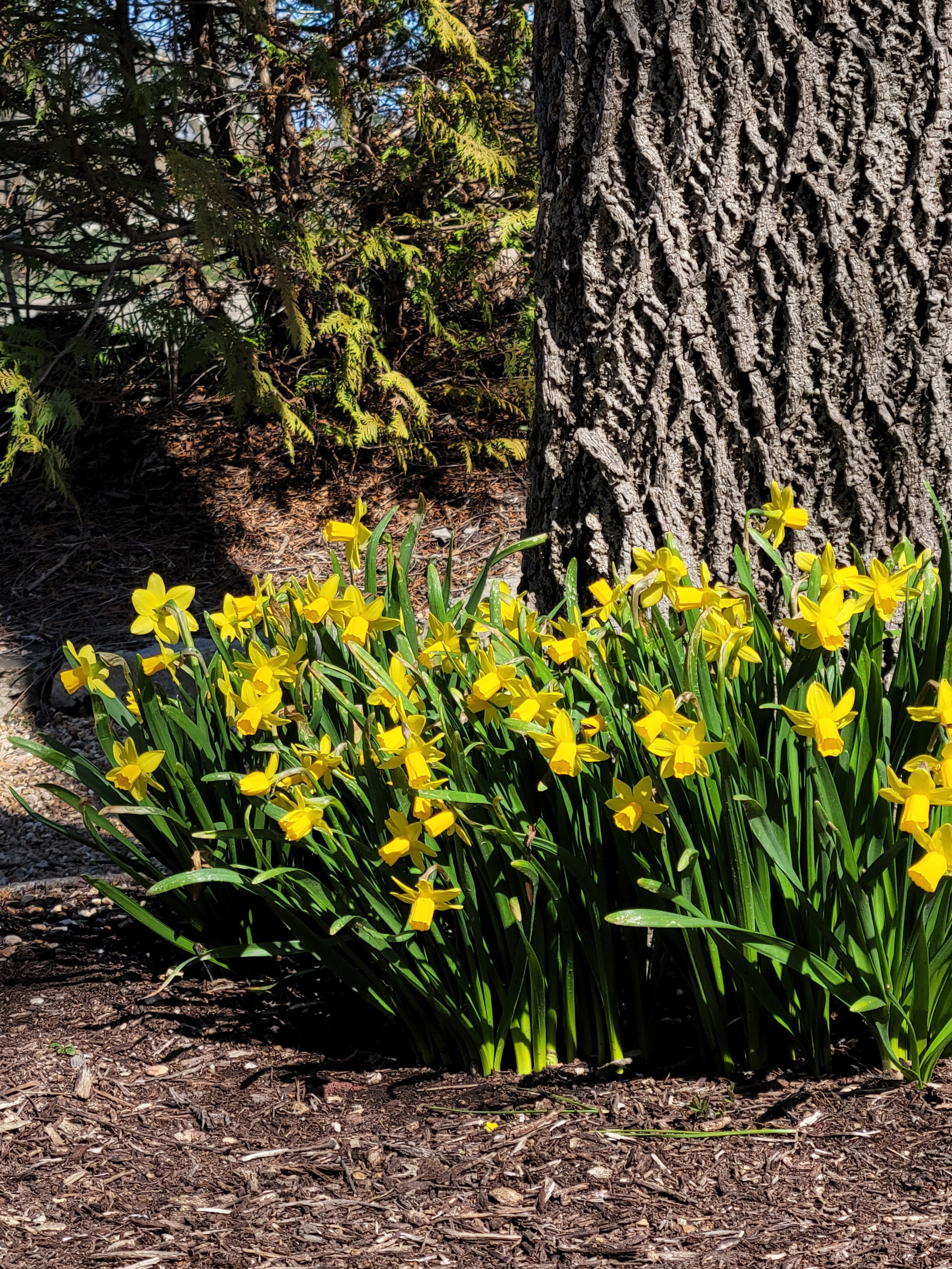
The treetops are nearly bare now, although the underbrush is still surprisingly green.
The shaded path feels pleasantly cool. My jacket has been long since cinched around my waist in the unseasonably warm December sunshine.
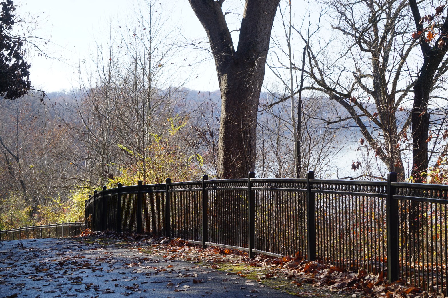
The trail switchbacks down to the river at a faily easy grade with beautiful views.
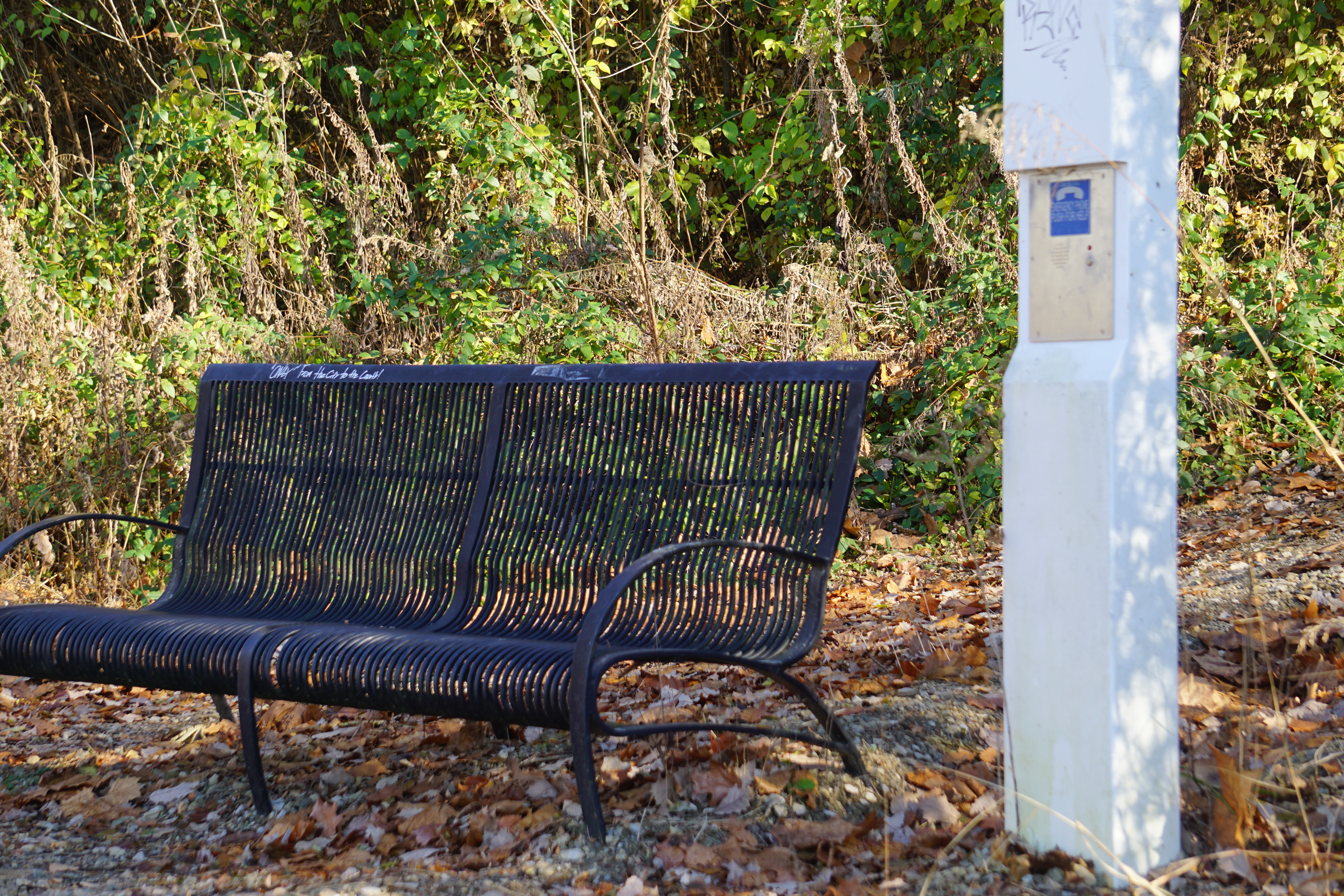
An overlook bench and emergency phone provide a rest stop and rescue point, if it turns out to be too much.
There’s a brief extension along the river banks as the trail levels out,
and a beautiful mini park to enjoy, before journeying back up the hill.
It’s almost silent on this end of the trail. A distant industrial hum only barely detracts from the peace of the woods and the river until I reach the top of the hill.
I don’t know that I would do the whole trail as a walk again. The Old Town section is definitely more suited to biking, but Sunset Park is one of my favorite rambles any time of the year.
I wasn’t sure I was convinced when my dashboard insisted it was 70 degrees as I pulled into the Creve Couer parking lot.
The sun had been shifting in and out of the clouds all morning, and the winds were cool. After tugging my bike out of the back of the truck, though, I tossed my jacket back in the cab.
It was beautifully warm and peaceful pedaling around the lake. There were only a handful of other riders and strollers enjoying the afternoon.
The leaves are tumbling now,
scattering across the trails
and floating along the edges of the stream.
The waterfall trickles in a sudden burst of sunshine and the golden glow of the trees.
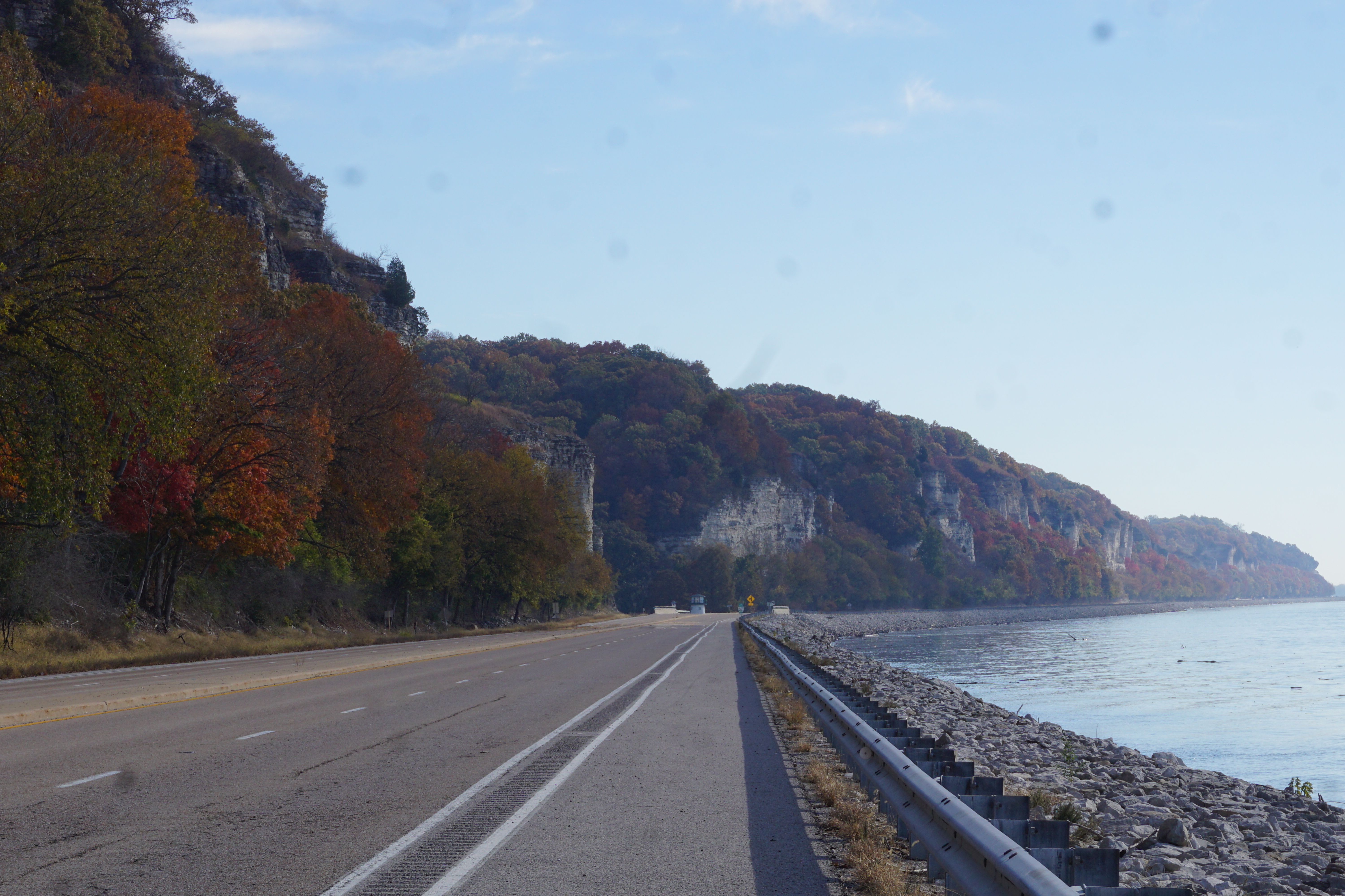
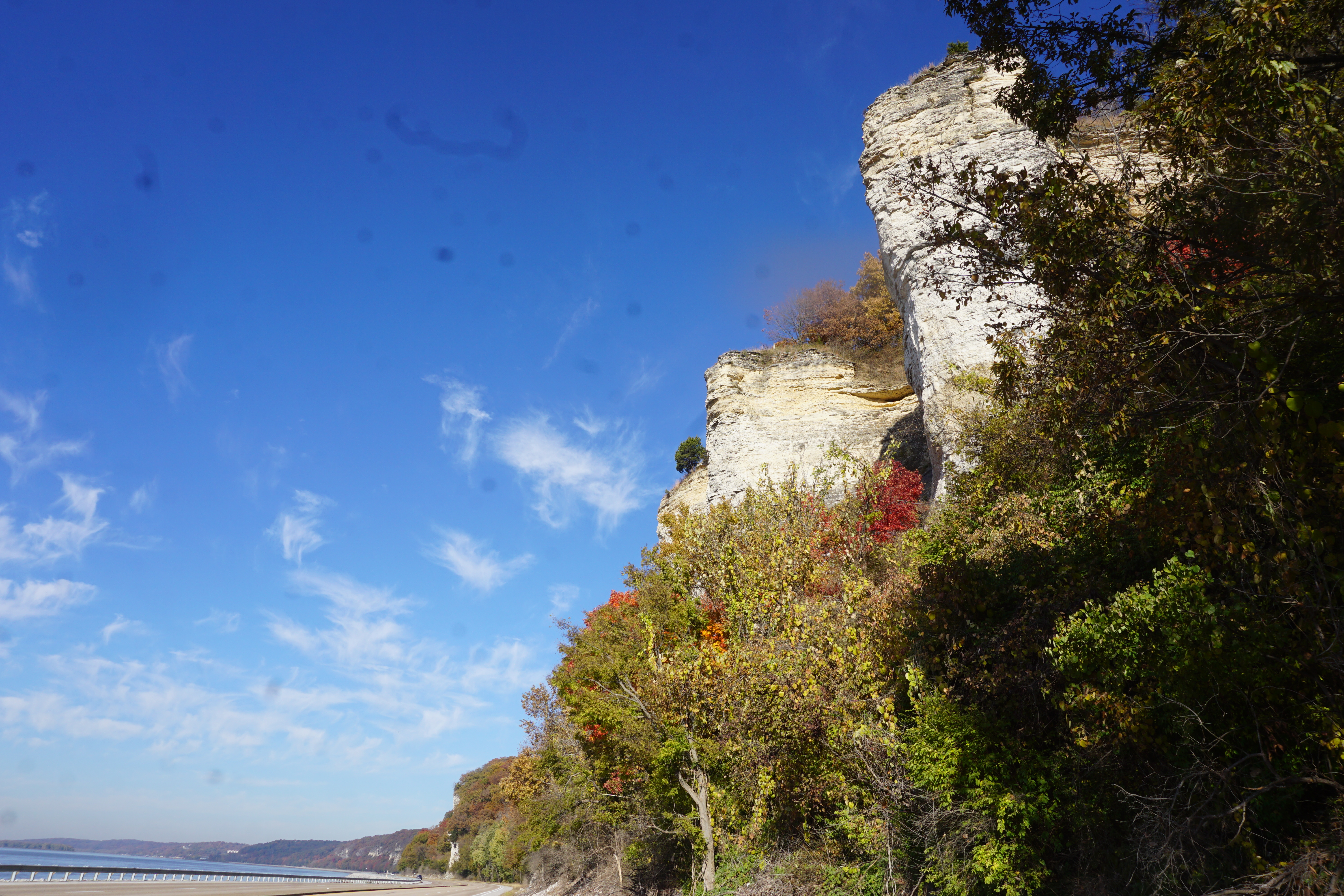
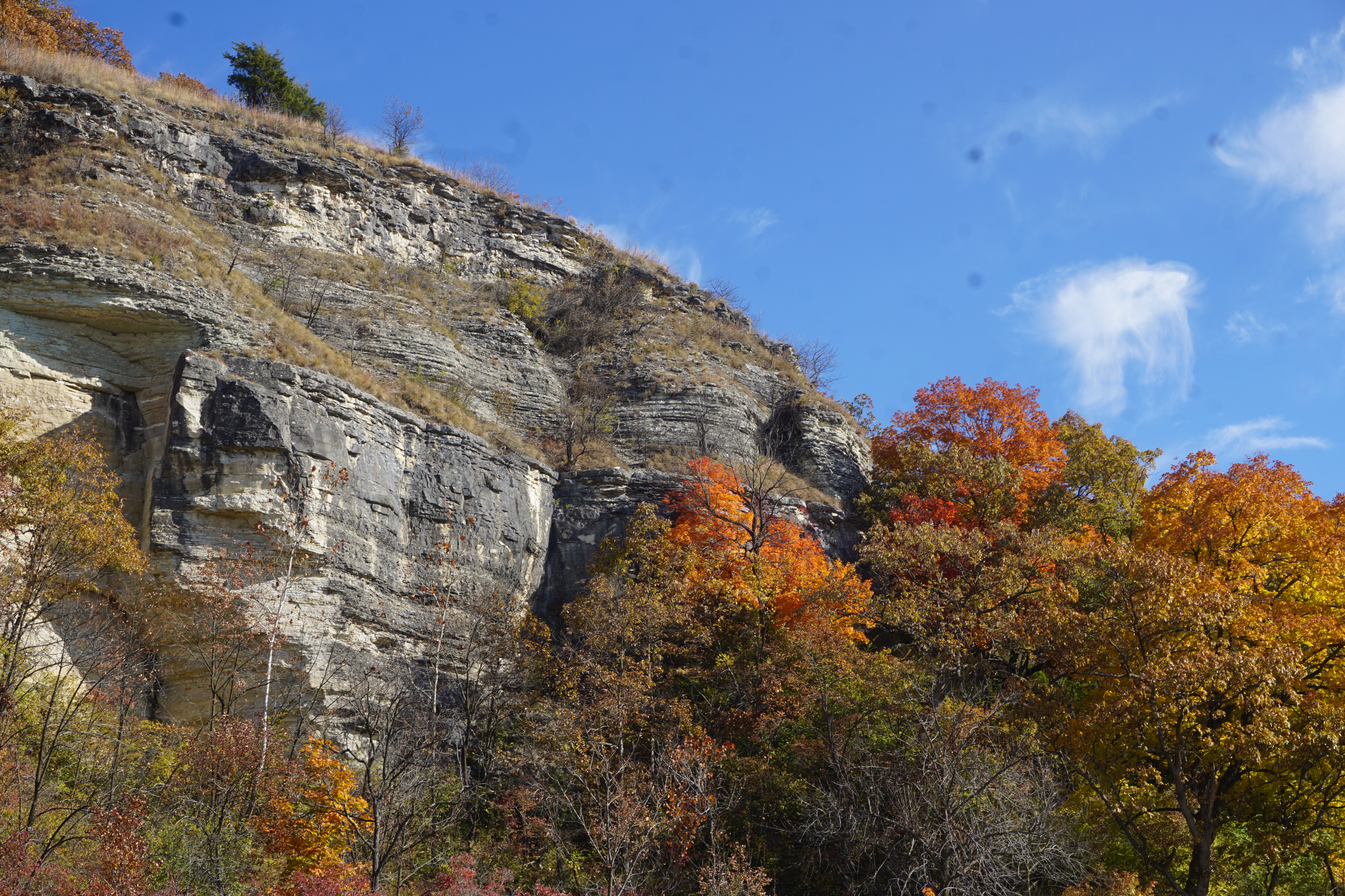
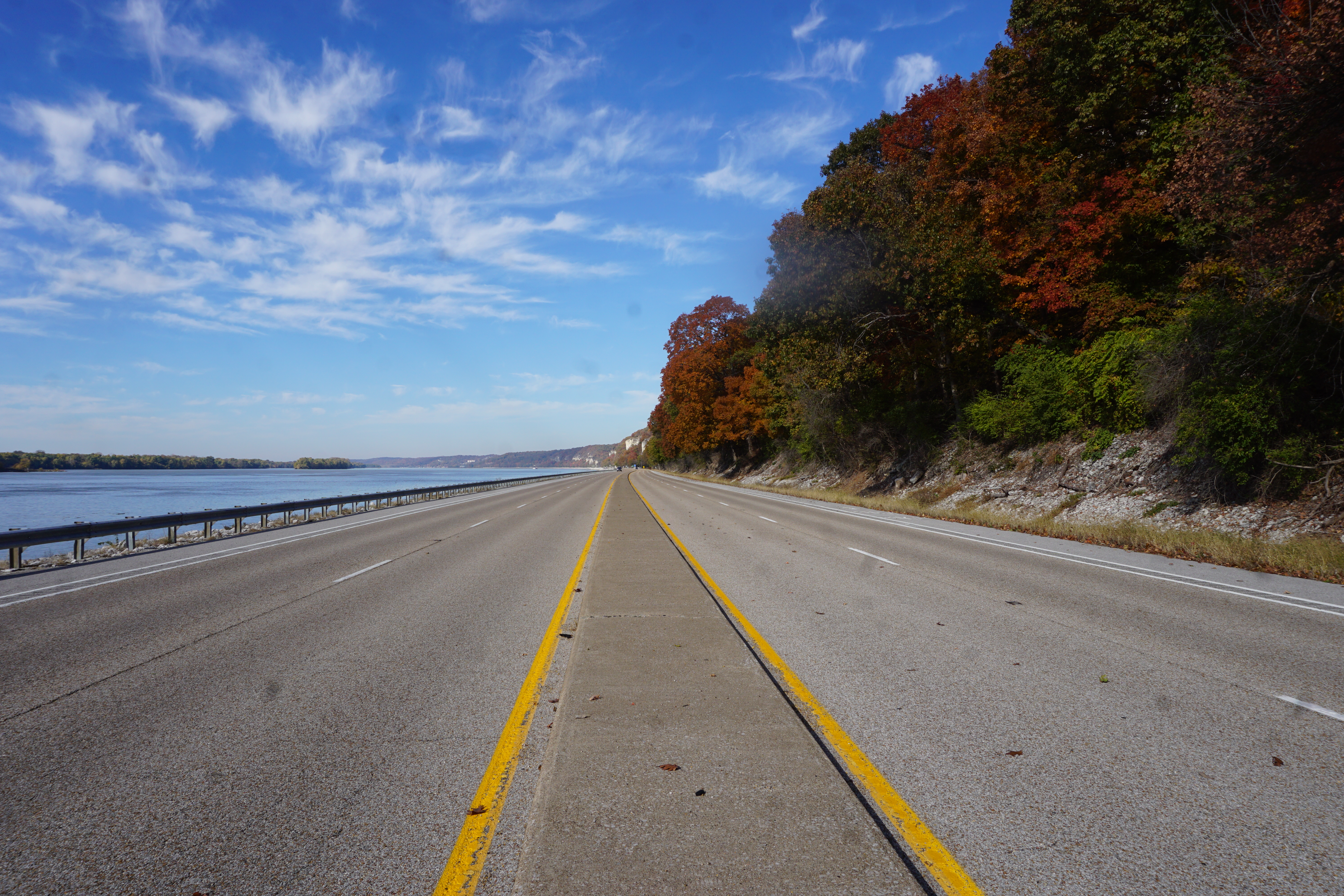
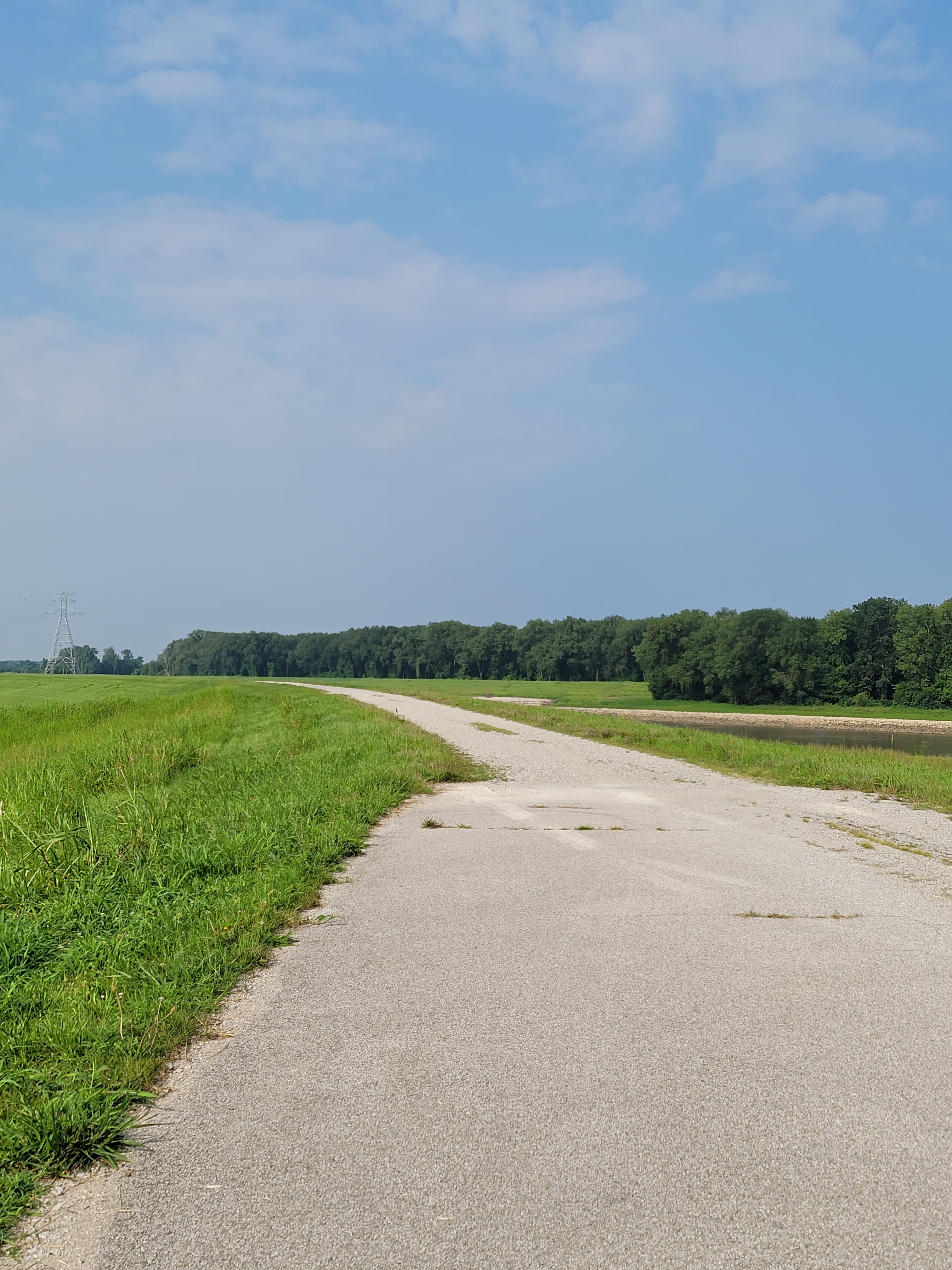
The northern trailhead of the Madison County Transit Confluence Trail opens just under the beautiful Clark Bridge in Alton, Illinois.
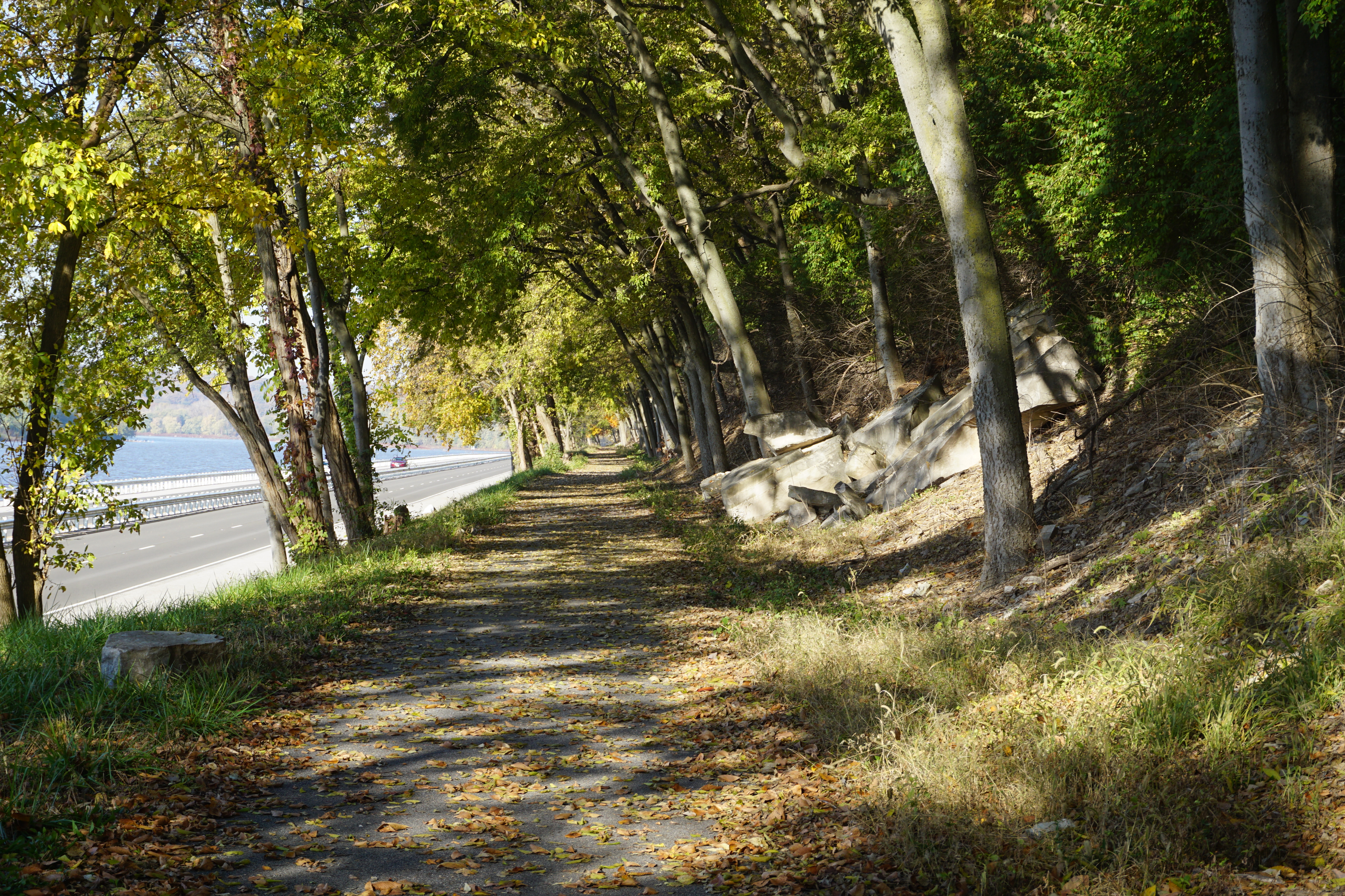
After a quick climb to the top of the levy, it runs along a mostly level trail parallel to the river and the highway.
Modern traffic and timeless riverways converge on the early miles of the trail. It’s not quiet. The sites and sounds of the highway are a continuous backdrop to the historical sites and river views for the first several miles.
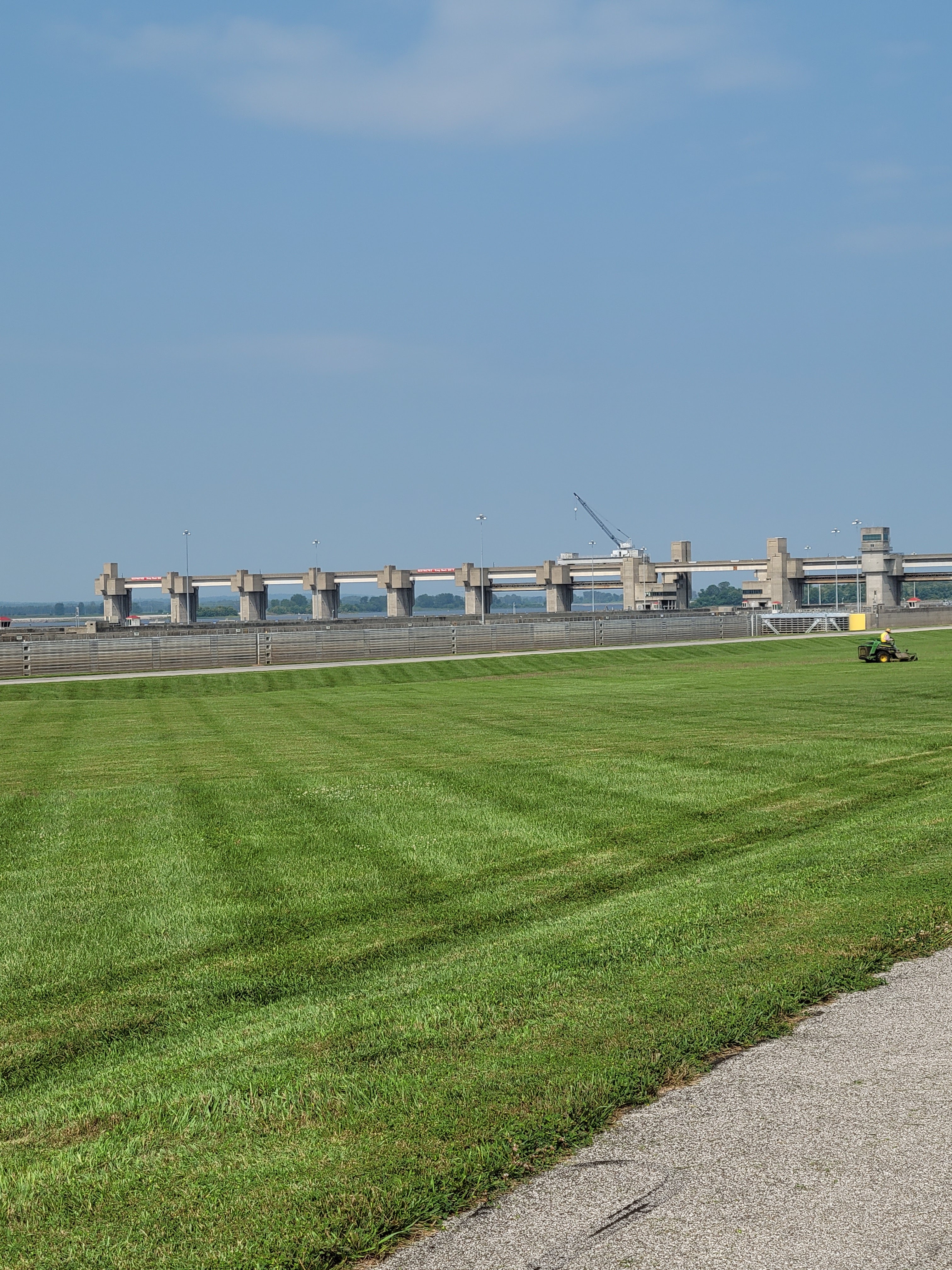
Access trails lead off to multiple sites worthy of their own visits; the National Great Rivers Museum and the Price Locks and Dam,
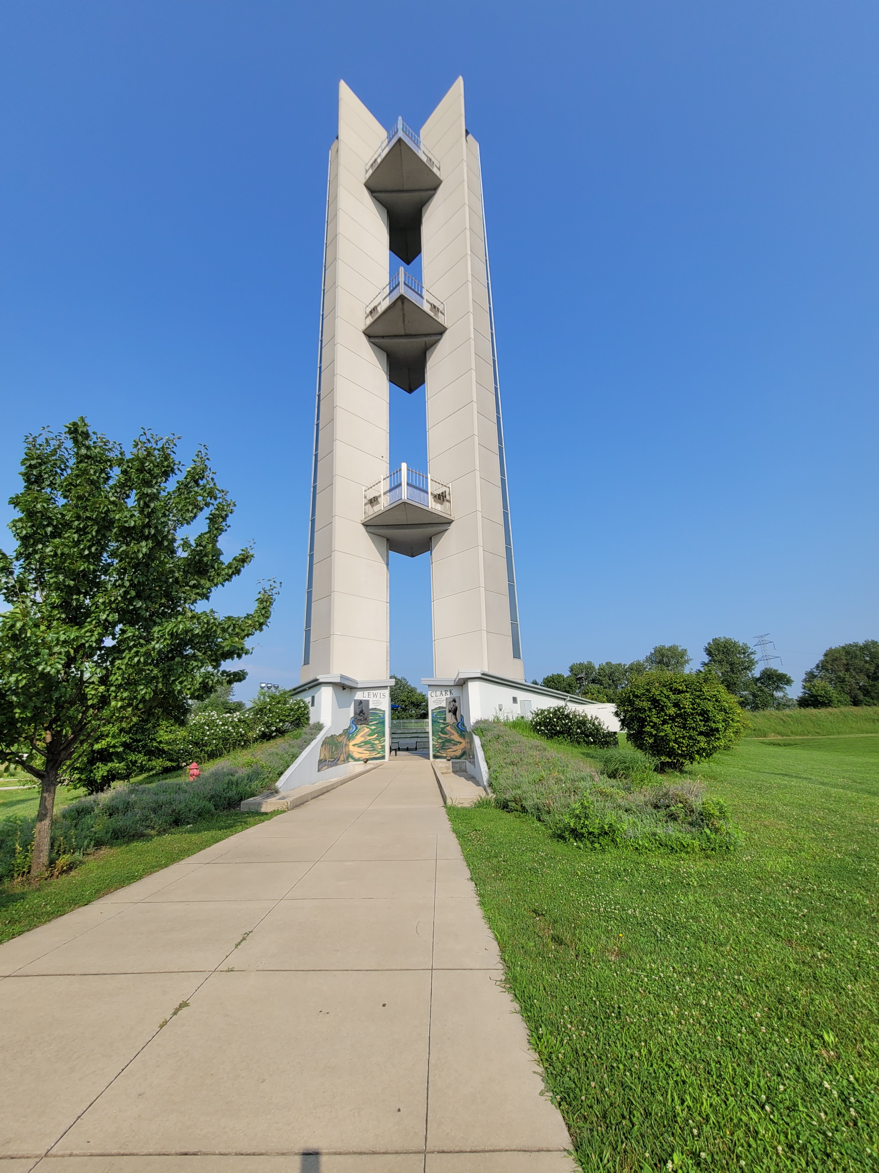
the Confluence tower, with its viewing platforms, picnic areas, and native plant gardens;
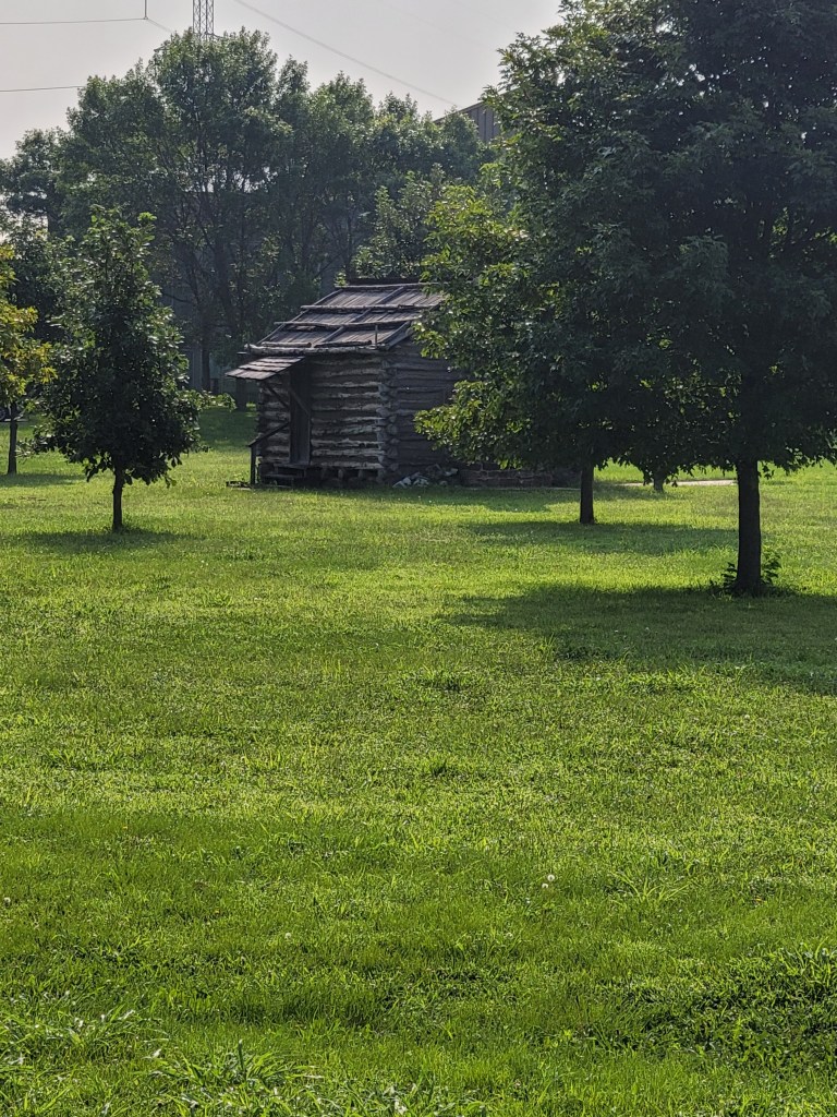
and the Lewis and Clark State Historic Site and reconstructed Dubois Camp.
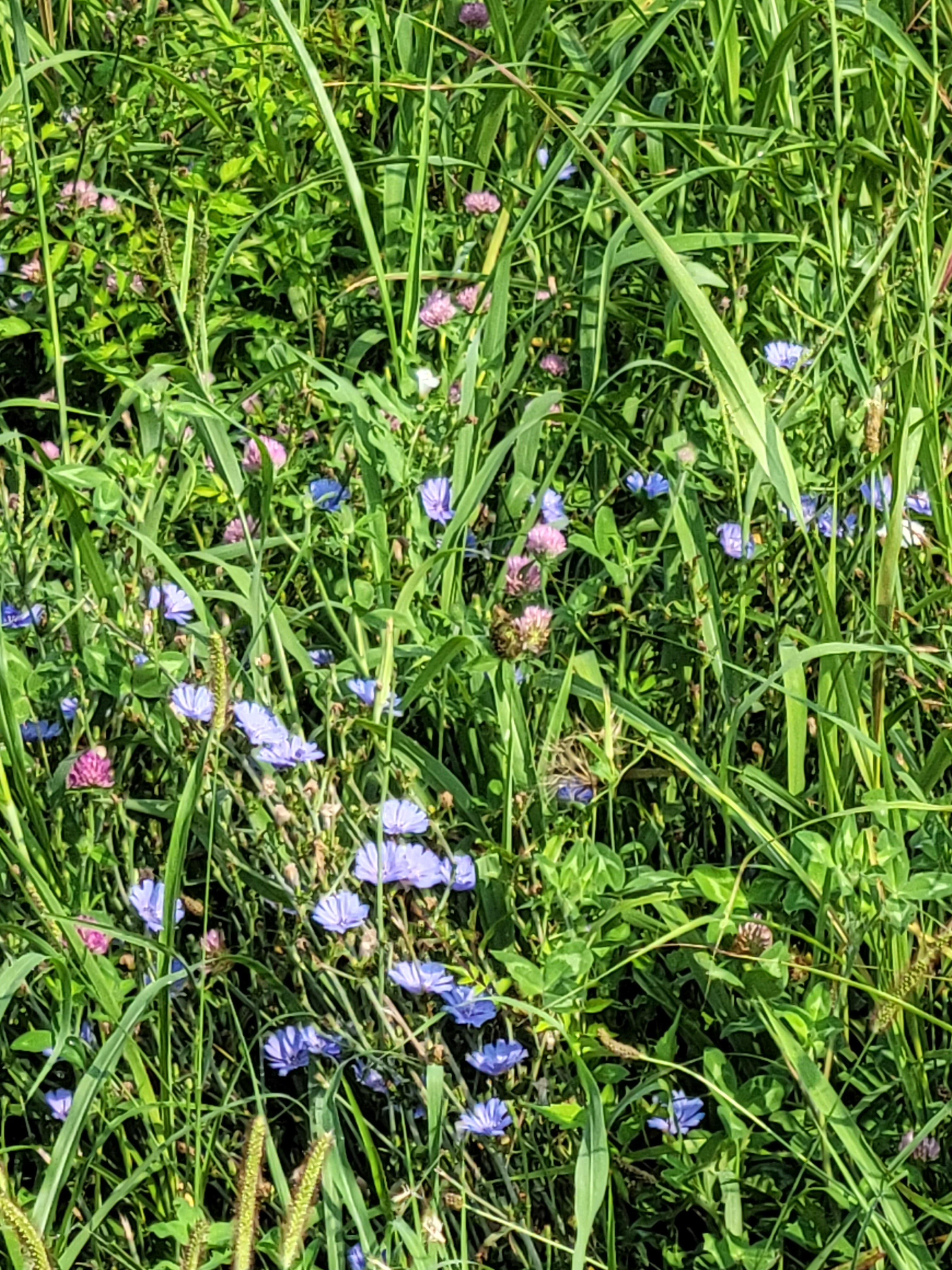
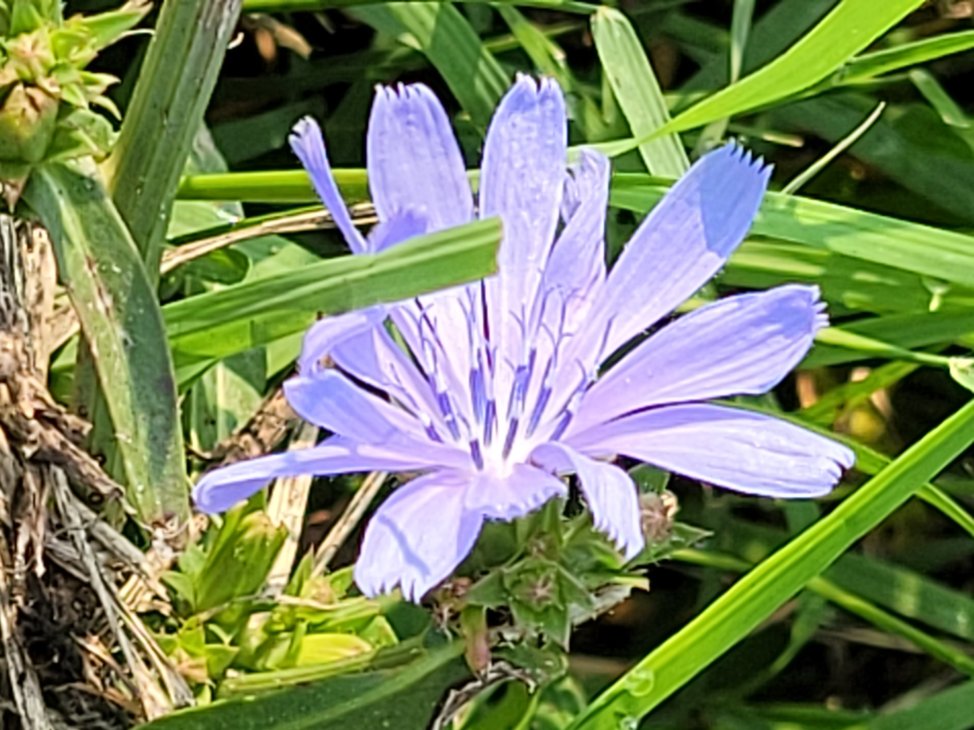
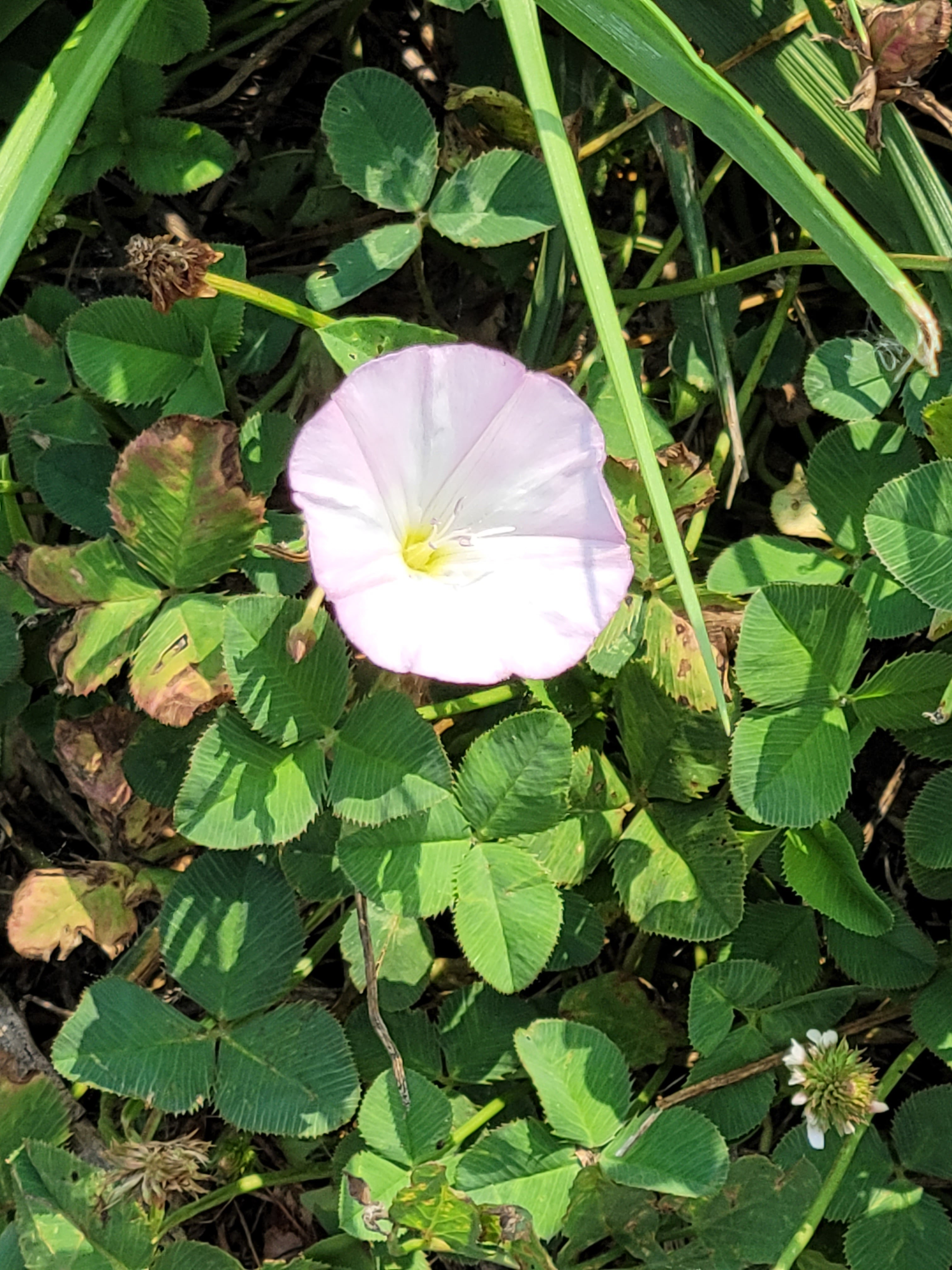
Shortly past the tower, the trail curves off into a quiet meadow behind the Lewis and Clark site, packed with summer wildflowers.
A gravel trail and rapidly deflating rear tire end my ramble today, but I’ll definitely be back to explore the museums and cross the levee trail.
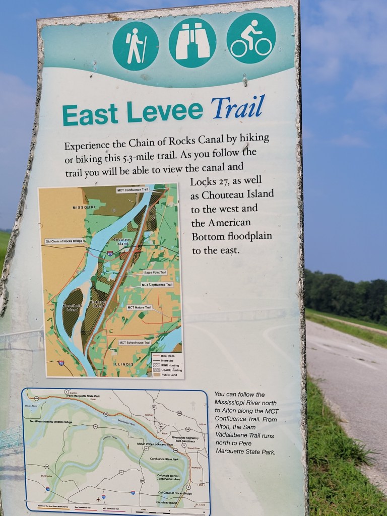
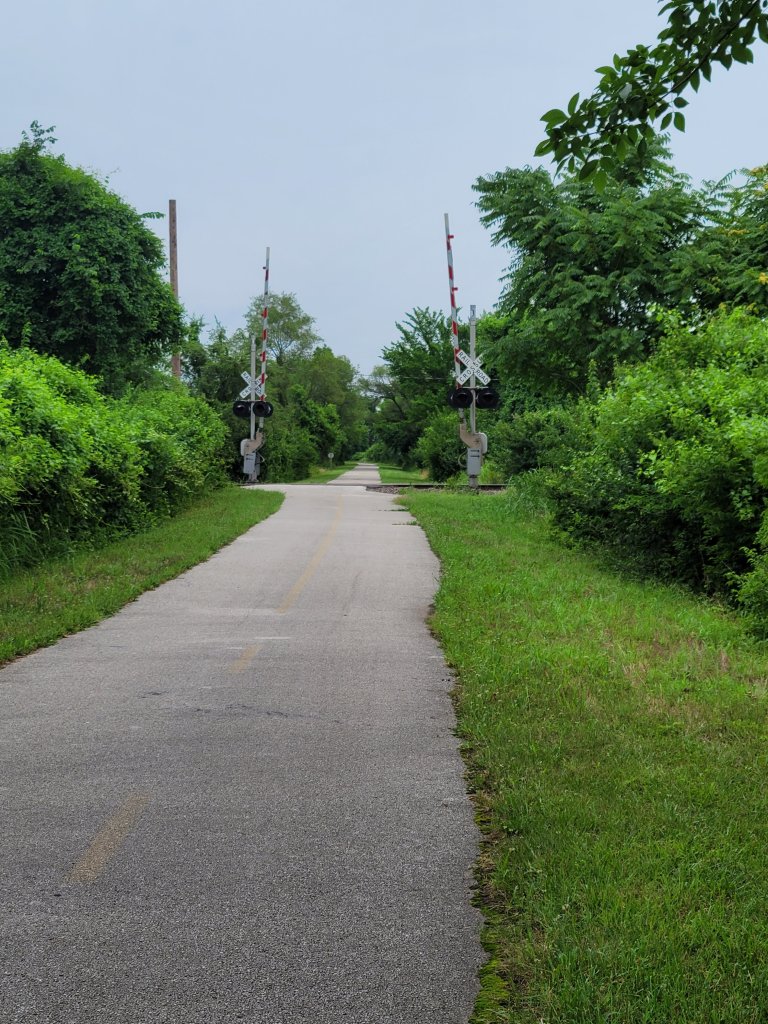
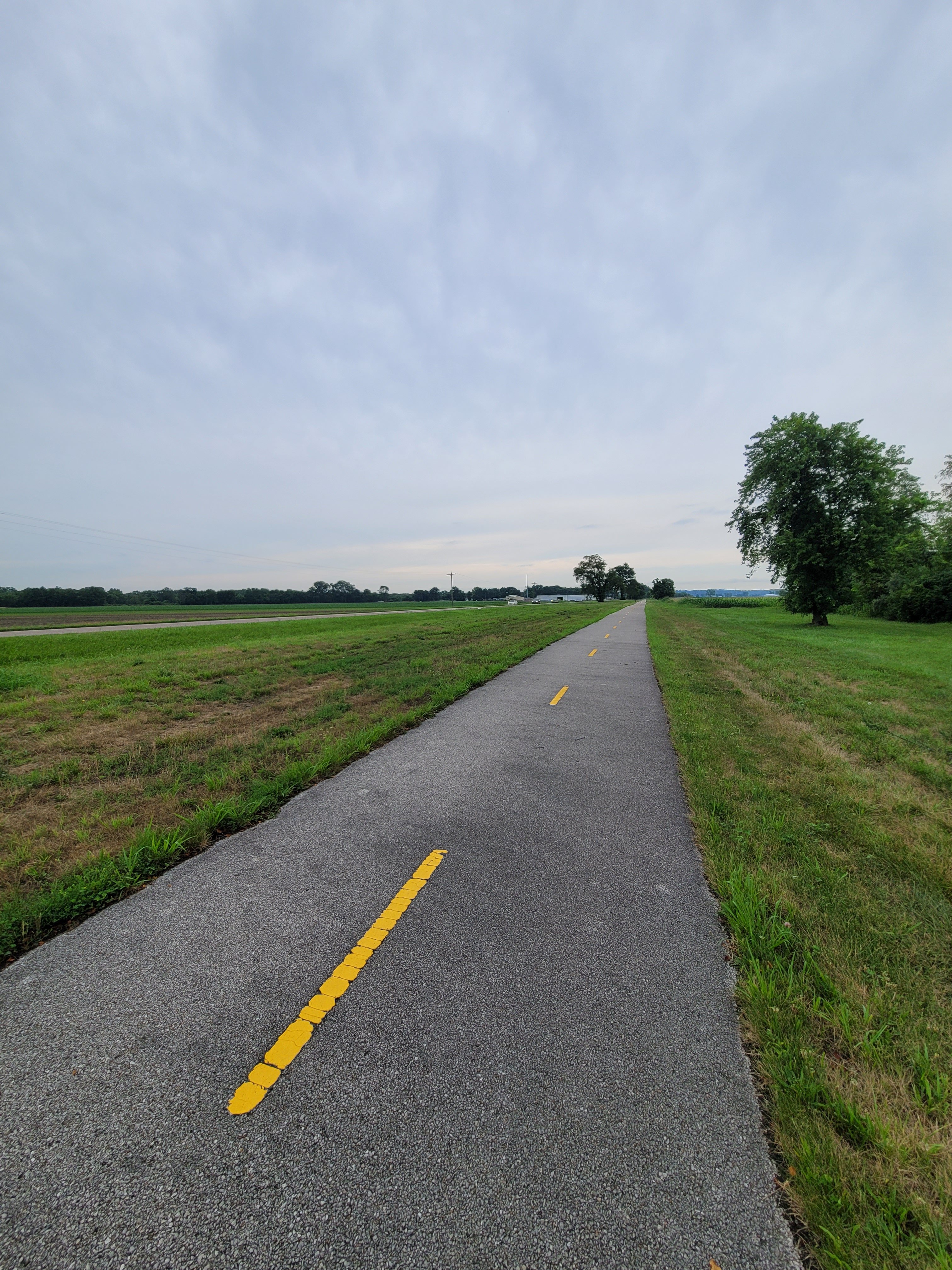
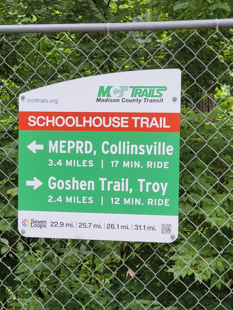
Schoolhouse trail is a 15 mile section of the multi trail Madison County transit trail system, in southwestern Illinois.
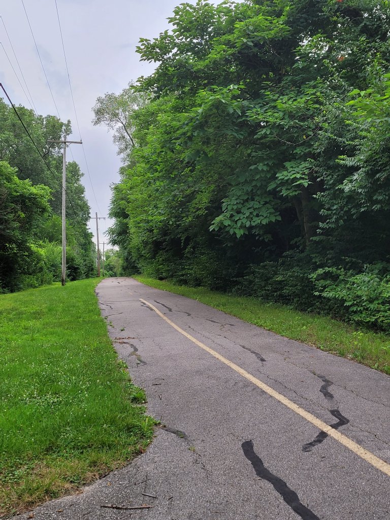
Early on, it feels more rural than it really has a right to, running in tandem with busy State Highway 203.
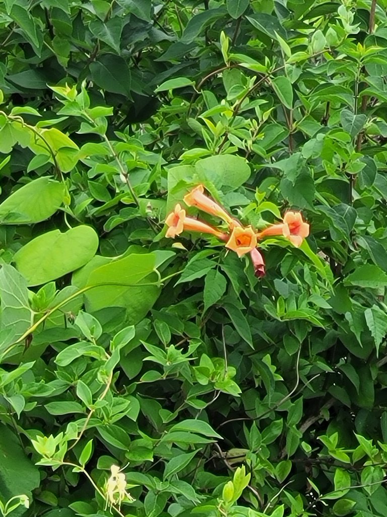
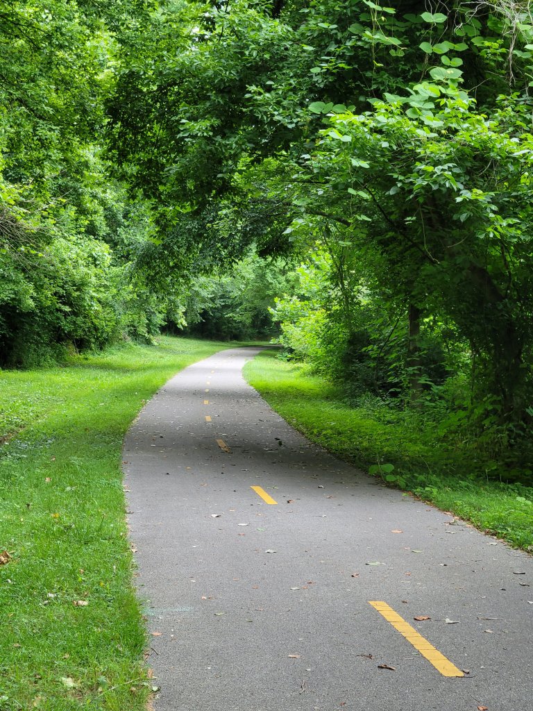
It’s bounded on both sides by trumpet flower vines before it flows into thick woodlands.
Birds and insects call and hum, just beneath the roar of the traffic and the thump and rattle of industrial plants.
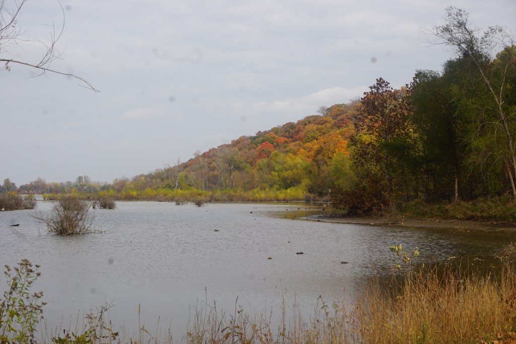
Four miles in, it winds along beautiful Horseshoe Lake State Park.
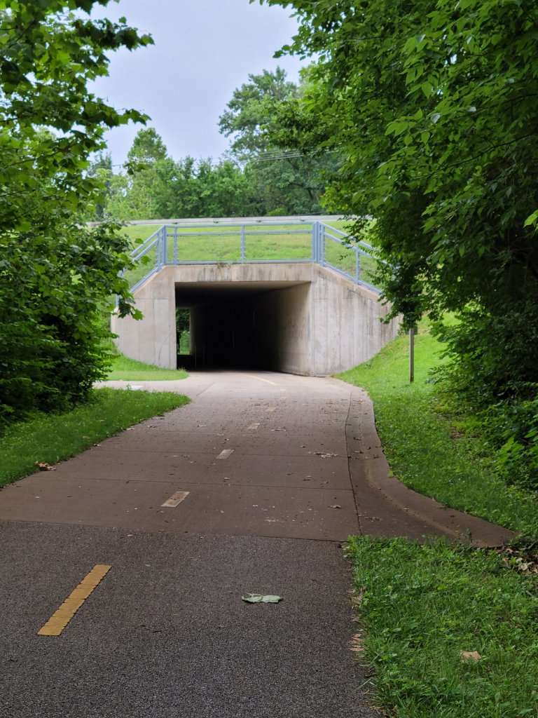
Then it crosses the highway and transitions to quiet open farmland and through the bustling outskirts of Collinsville.
Collinsville is busy and crowded, but the trail remains completely off the road, except for quick, well-marked crossings.
It drops past town, into a thickly wooded neighborhood trail, that seems to be more heavily used than the earlier section. Translation: I meet probably 8 -10 people versus 3 -4.
Threatening clouds merge into drizzly rain. 2.4 miles from Troy and 13 from my car, Troy seems the better bet.
In a beautiful Maryville park, I stop for a quick snack break.
The rain sputters out. The air is clean and muggy and honeysuckle fresh, chasing me on to the end.
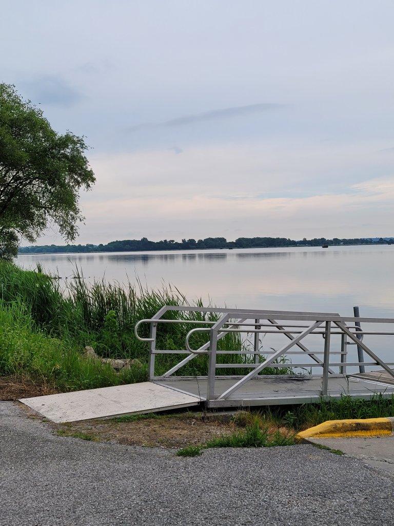
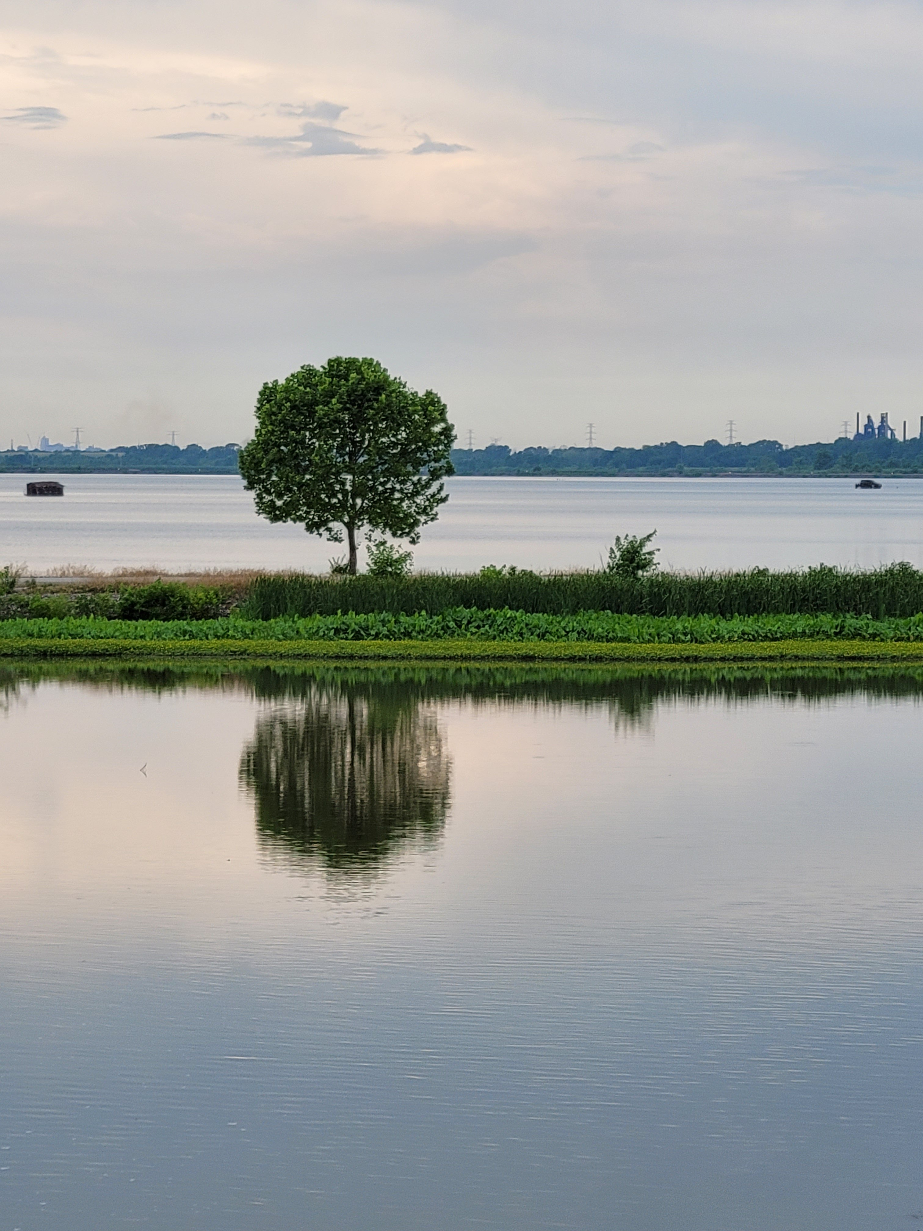
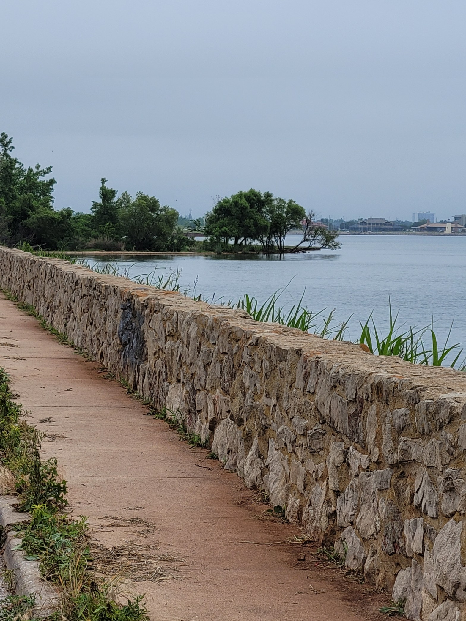
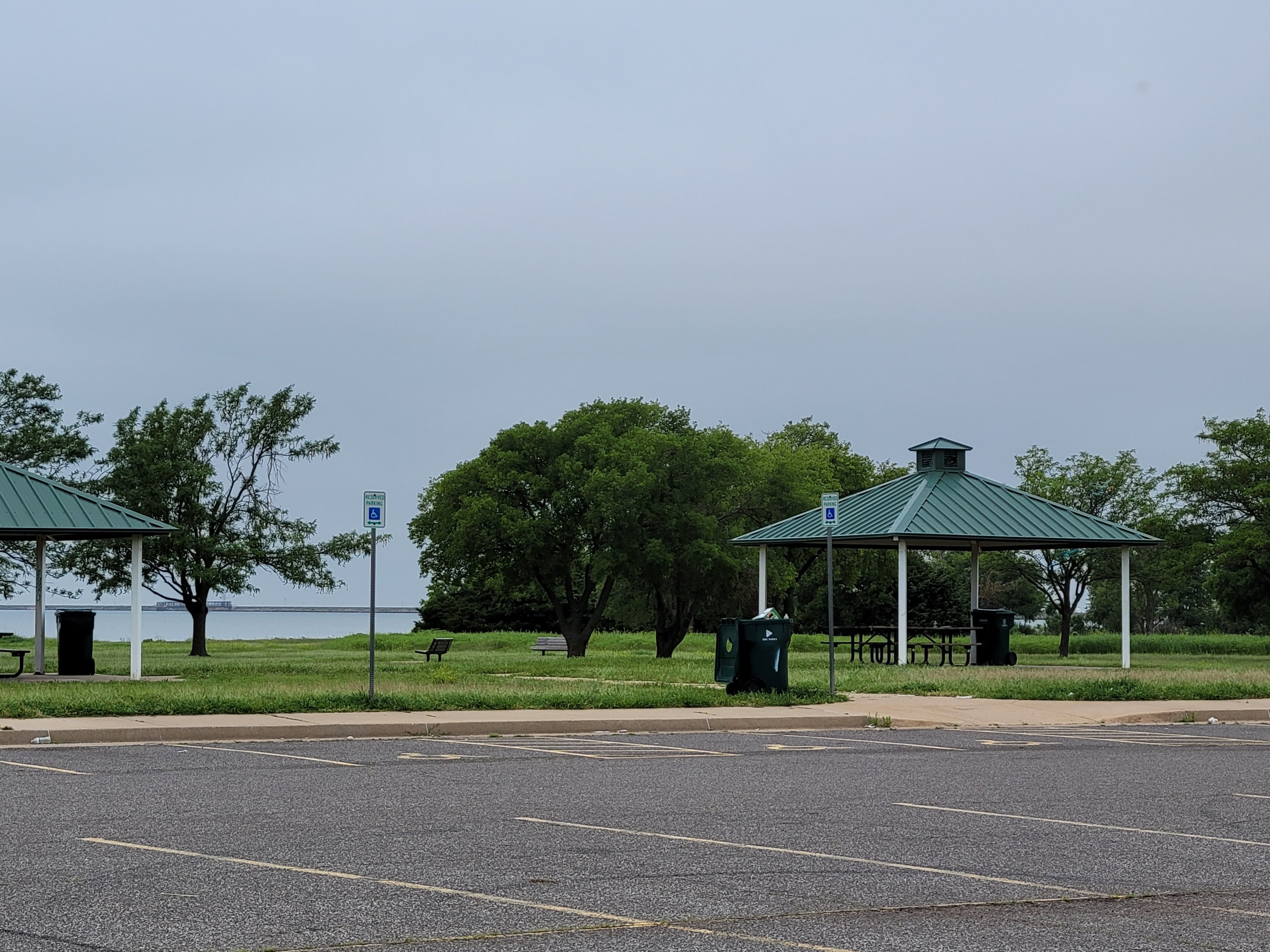
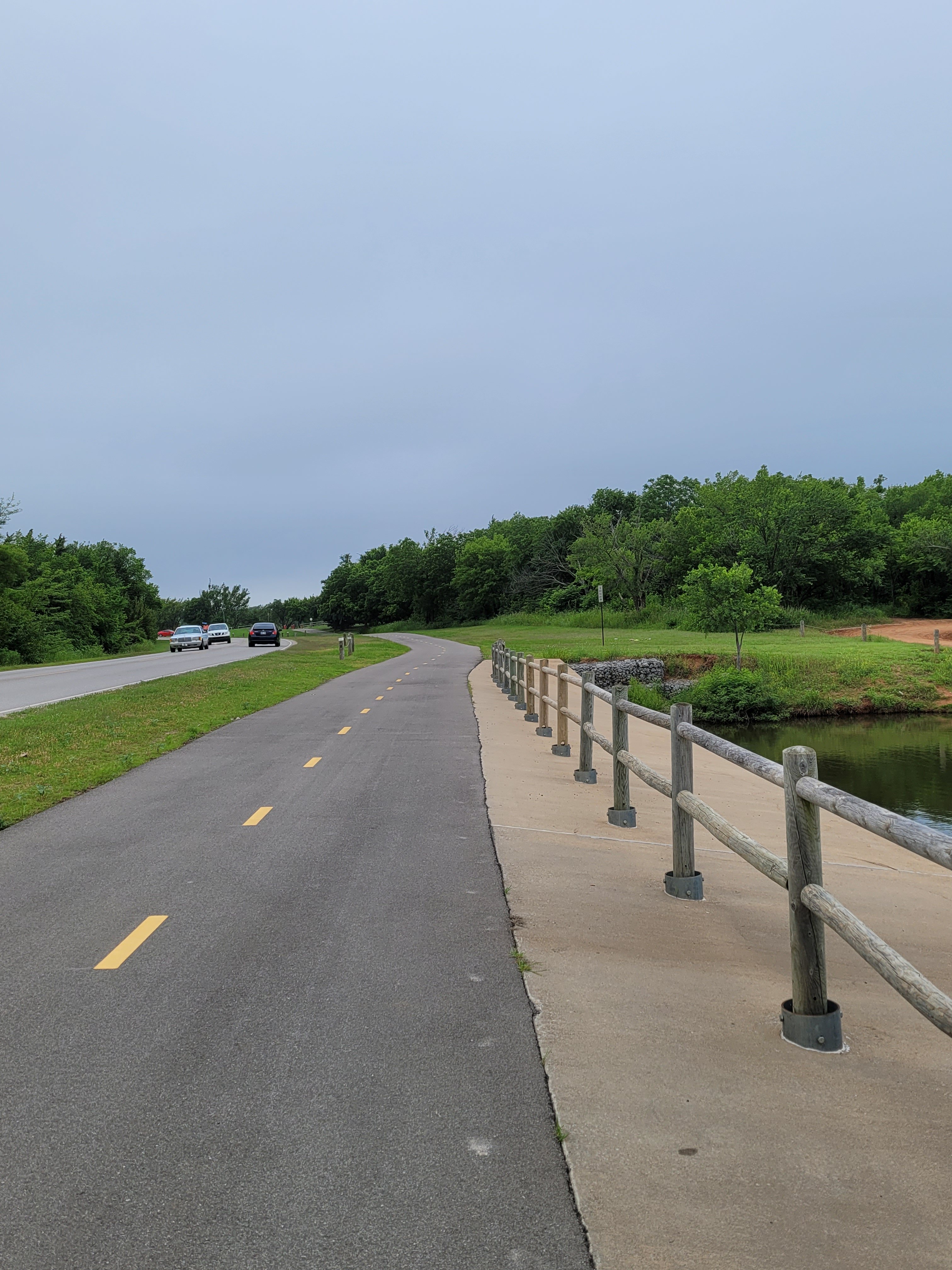
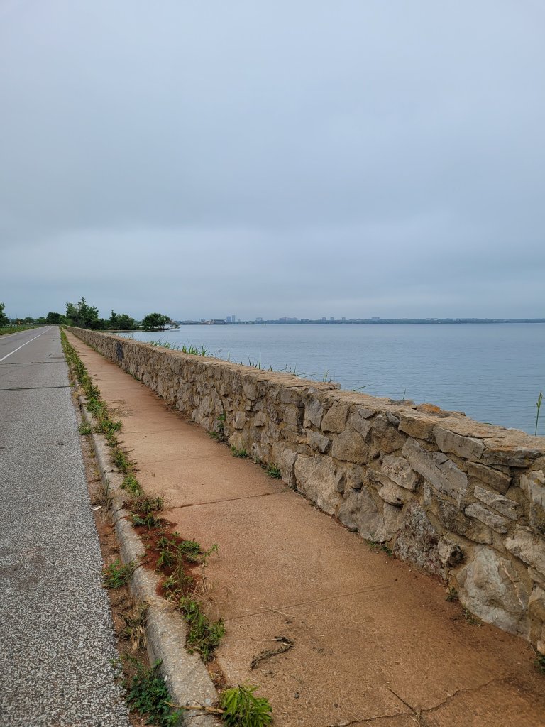
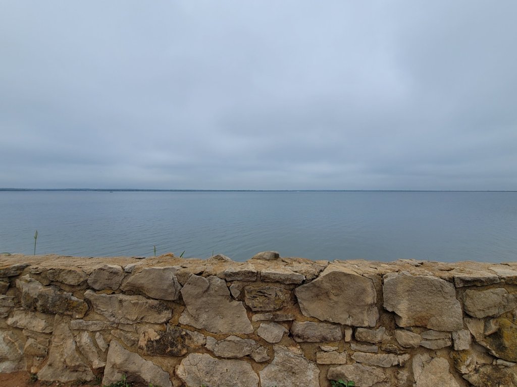
The Bert Cooper Trail loops around Lake Hefner at just under a ten mile distance; or just over if you temporarily lose the trail and go wandering along side streets and neighboring parks for awhile.
It’s beautiful, but rush hour loud, as it skirts the highway from the parking lot. Lanes are wide and smooth and freshly marked. Near the park, there are even dedicated lanes for bicycles and joggers.
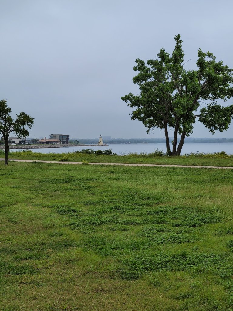
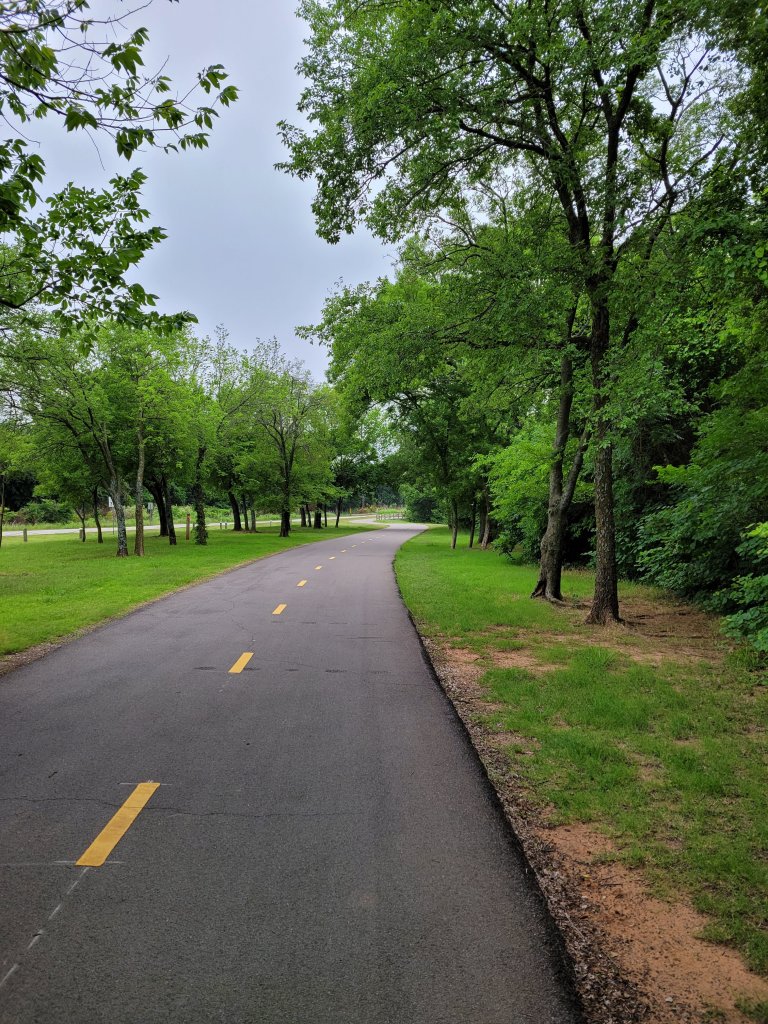
As the trail curves away from the highway, the sound muffles to the call of the birds and an occasional airplane.
Redwing Blackbirds perch on posts and wires and a pair of Scissortail Flycatchers swoop and dart across a field.
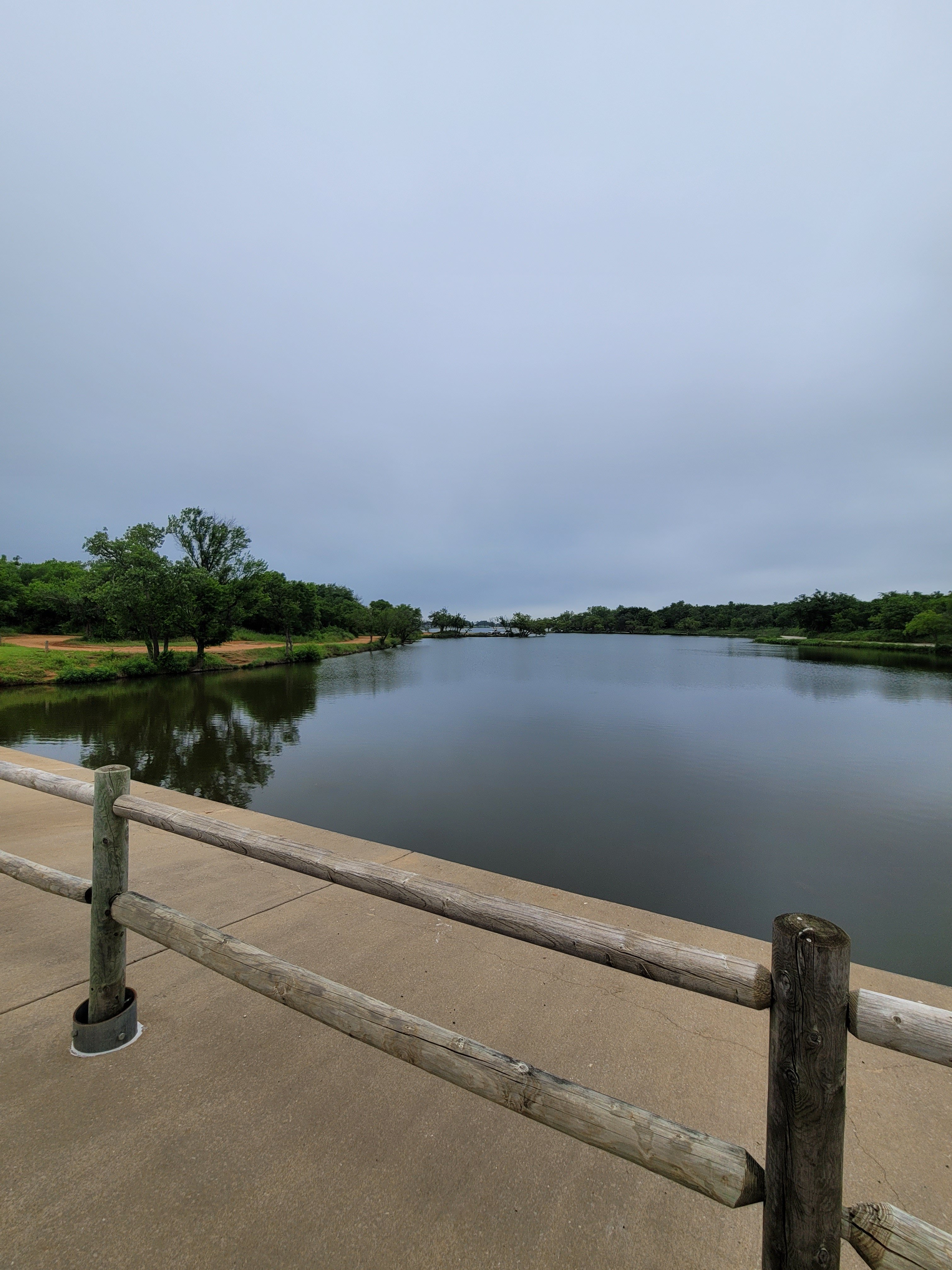
The marina and a golf course edge the trail as it begins to wind back toward the dam.
It was at the dam that I lost the trail for awhile. I didn’t think it could possibly be the plan to ride on that narrow strip with the traffic, so I tried a few other directions first.
It really wasn’t bad once I realized that was the trail though. There was at least a narrow bike lane on one side and the traffic was pretty limited.
The lake is wide and still on this misty weekday morning. I suspect it’s often teeming with all those sailboats, resting for now, back at the marina.