A beautiful start to my two day ride. We’d watched the weather throughout the week, not sure if it would even happen. Saturday morning looked reasonably clear, if a little cool. I set out with the thought that I wanted to go at least to the tunnel early in the day, then see how the weather held. Sunday was always in doubt.
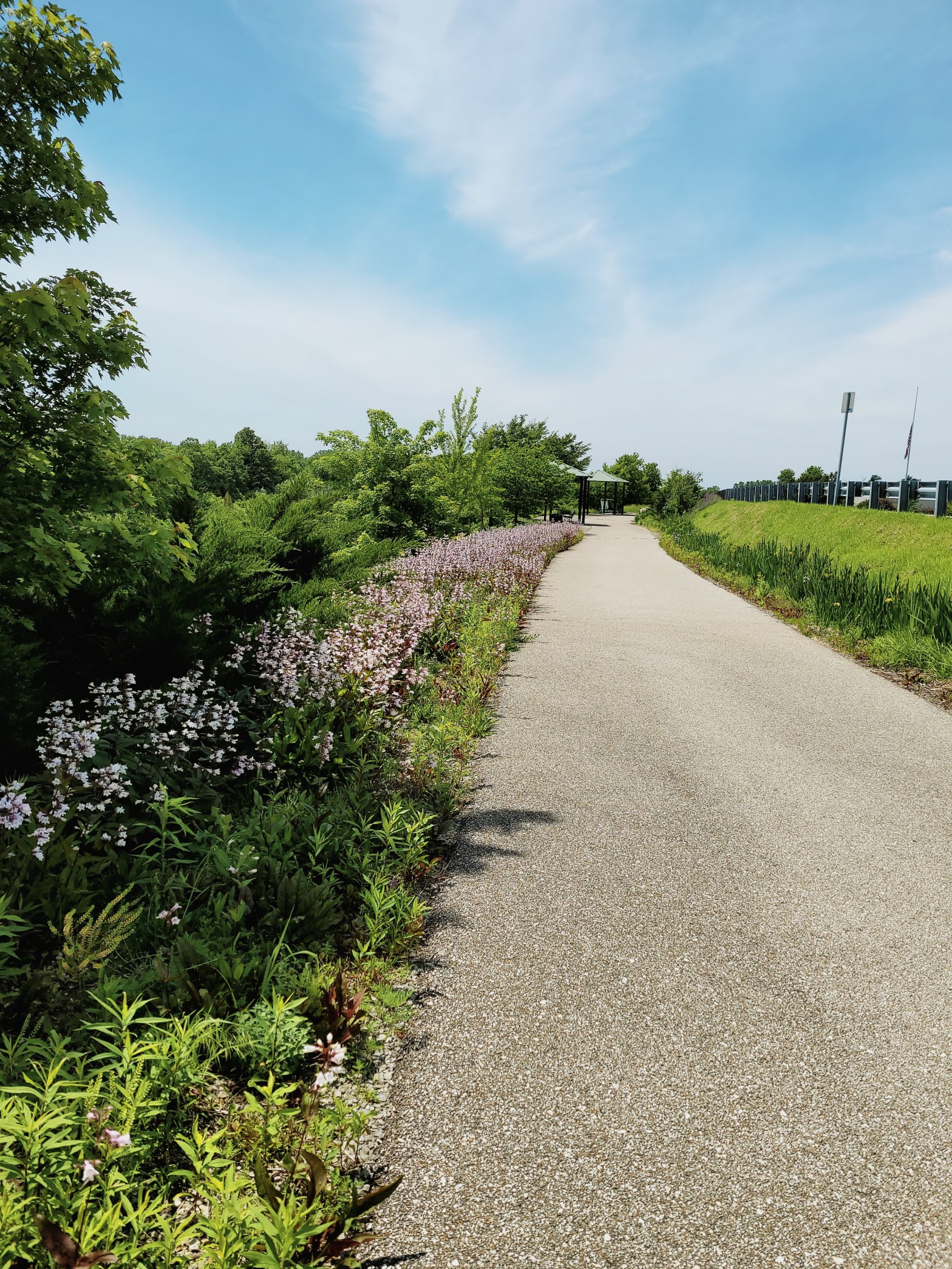
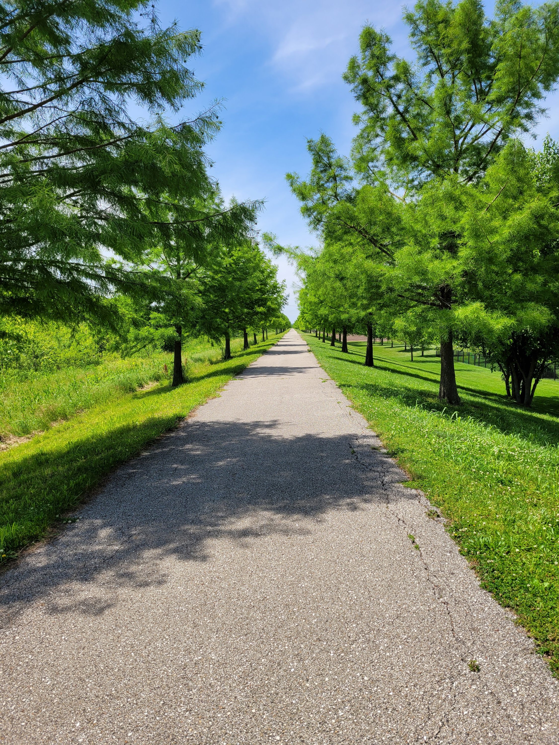
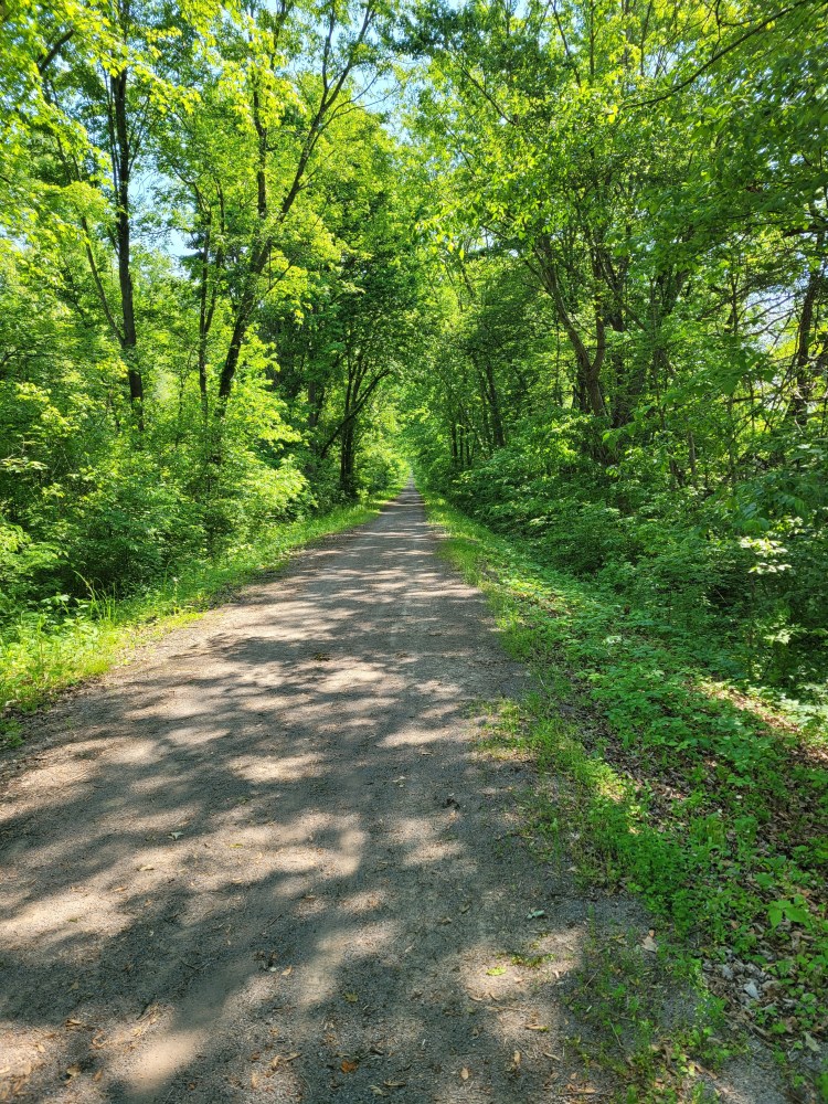
Karnak to Vienna is quiet and nearly deserted. The crushed gravel trail is bordered thickly by trees and the occasional farmland.
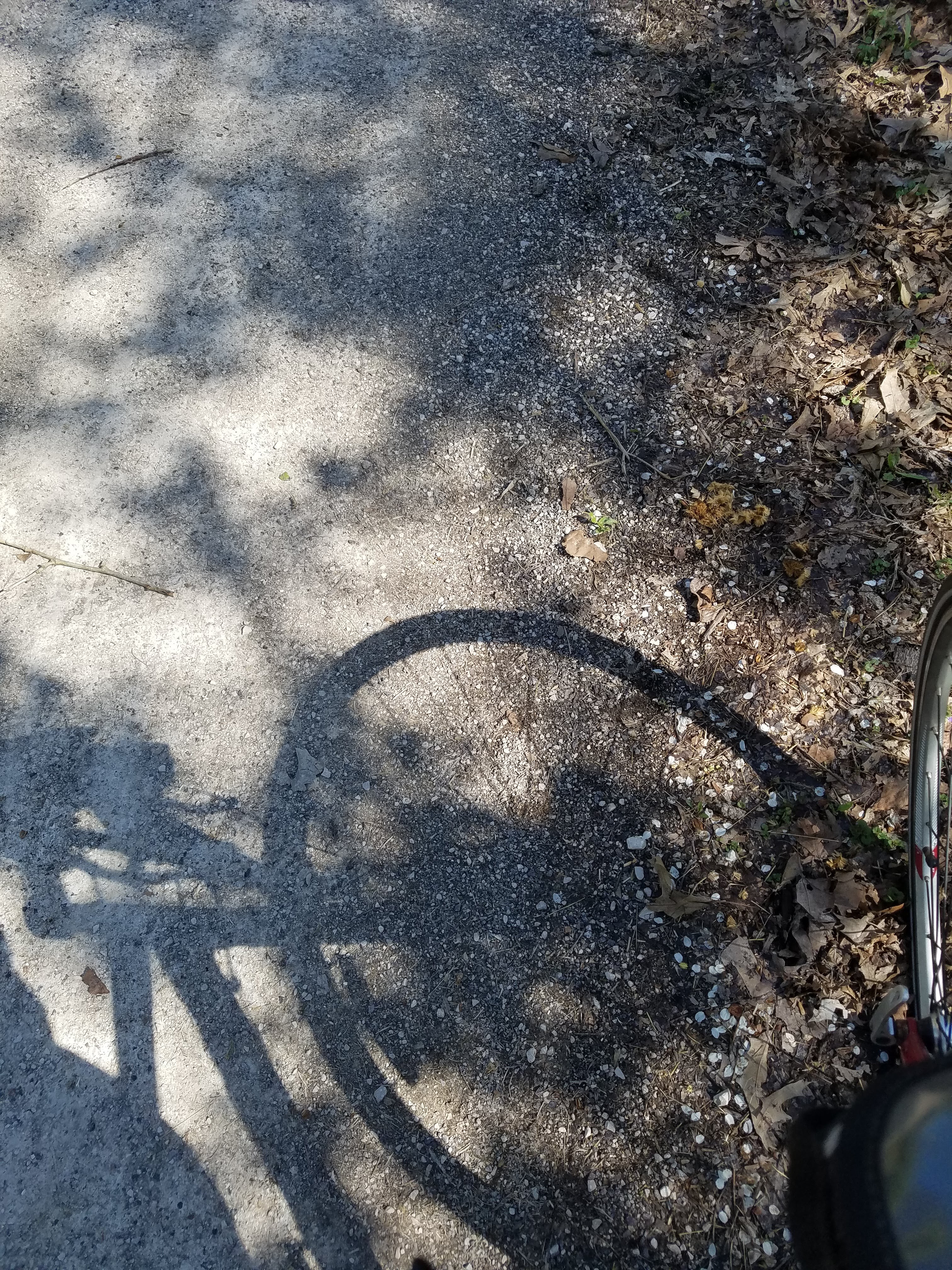
For miles, I see only scattered other riders and hear nothing mechanical except the clicks and tire crunch of my own bike.
A startled turkey darts across my path, while insects and birds click and chatter from the bordering woods and swamps.
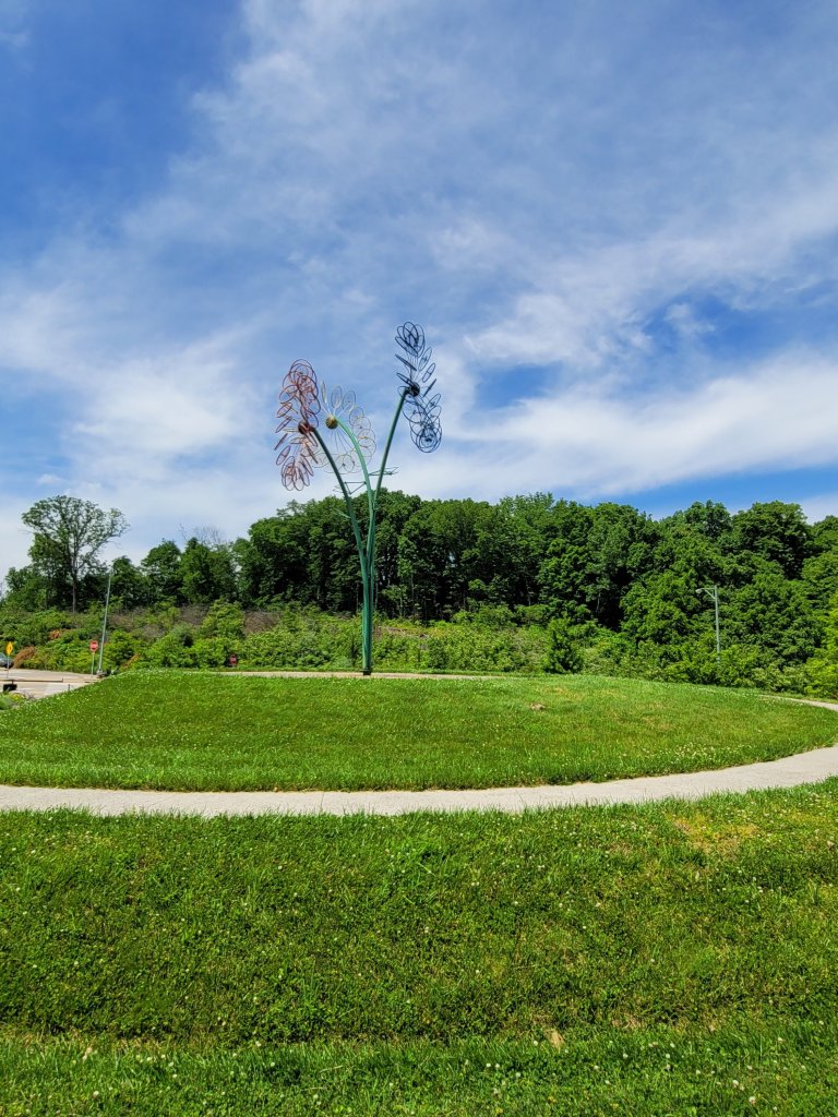
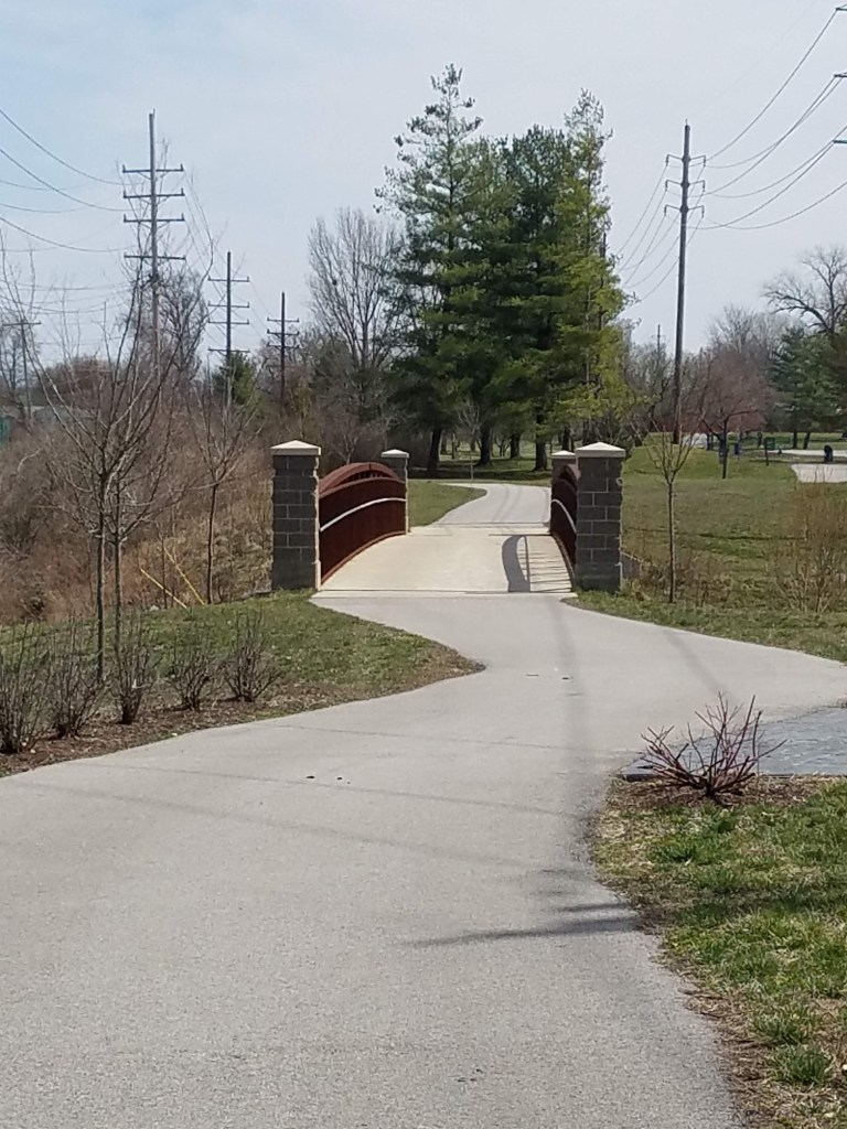
The beautiful Vienna city park sets off the most populated part of the trail. The trail crosses under Highway 24, bringing the return of traffic roar, but still offset by the calls of the busy wildlife. At around milepost 221, it winds under a tunnel. Not, The Tunnel, but one long enough to be a little dark and to feel like a doorway back to the woods and instant muffling of modern noise.
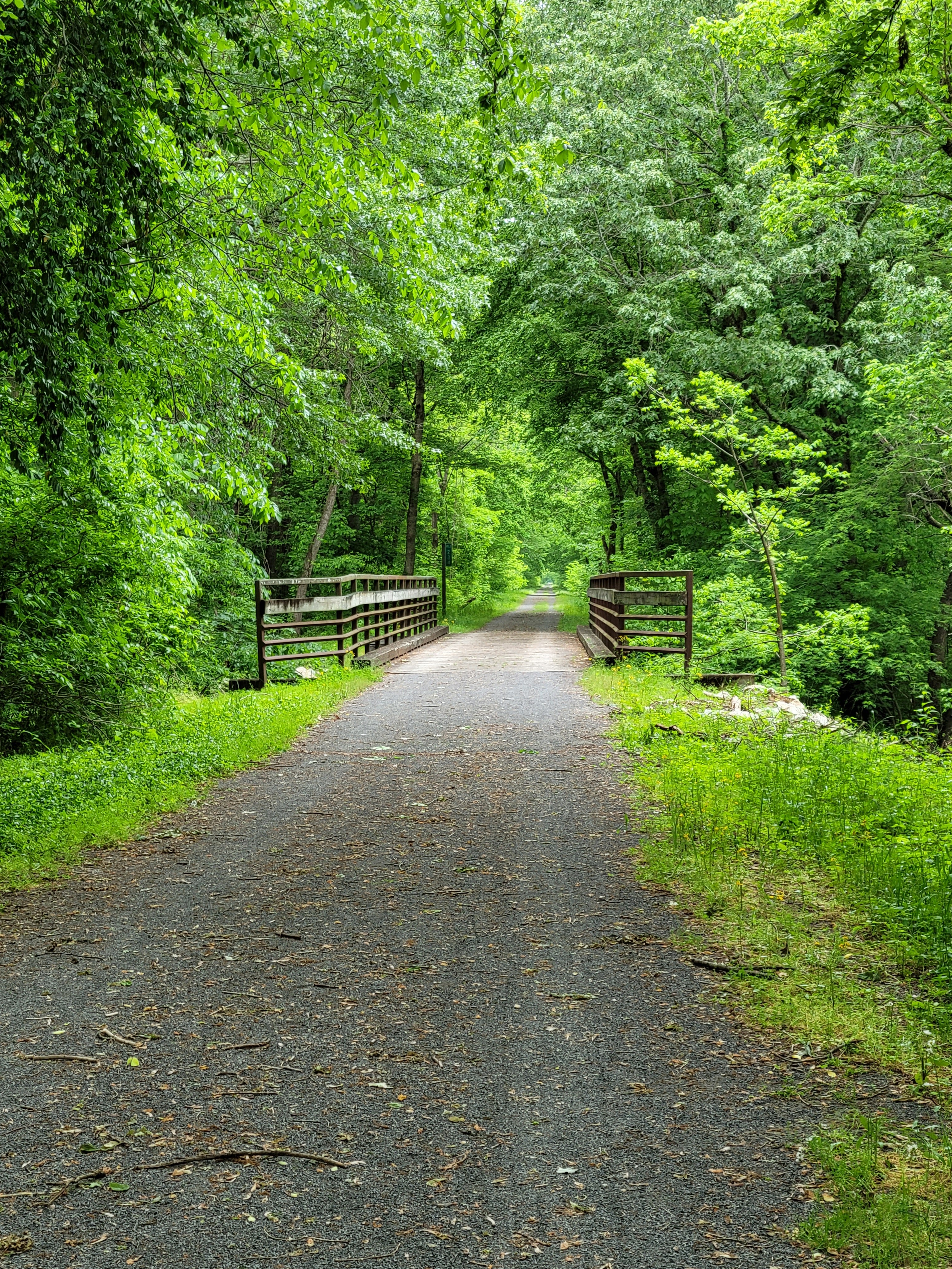
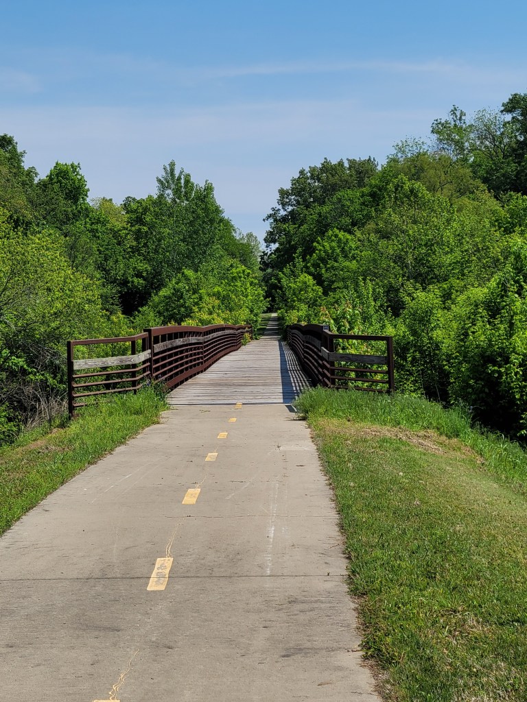
I was apparently worrying the woman riding behind me. She caught up to me at one photo and scribble stop to ask if I was alright.
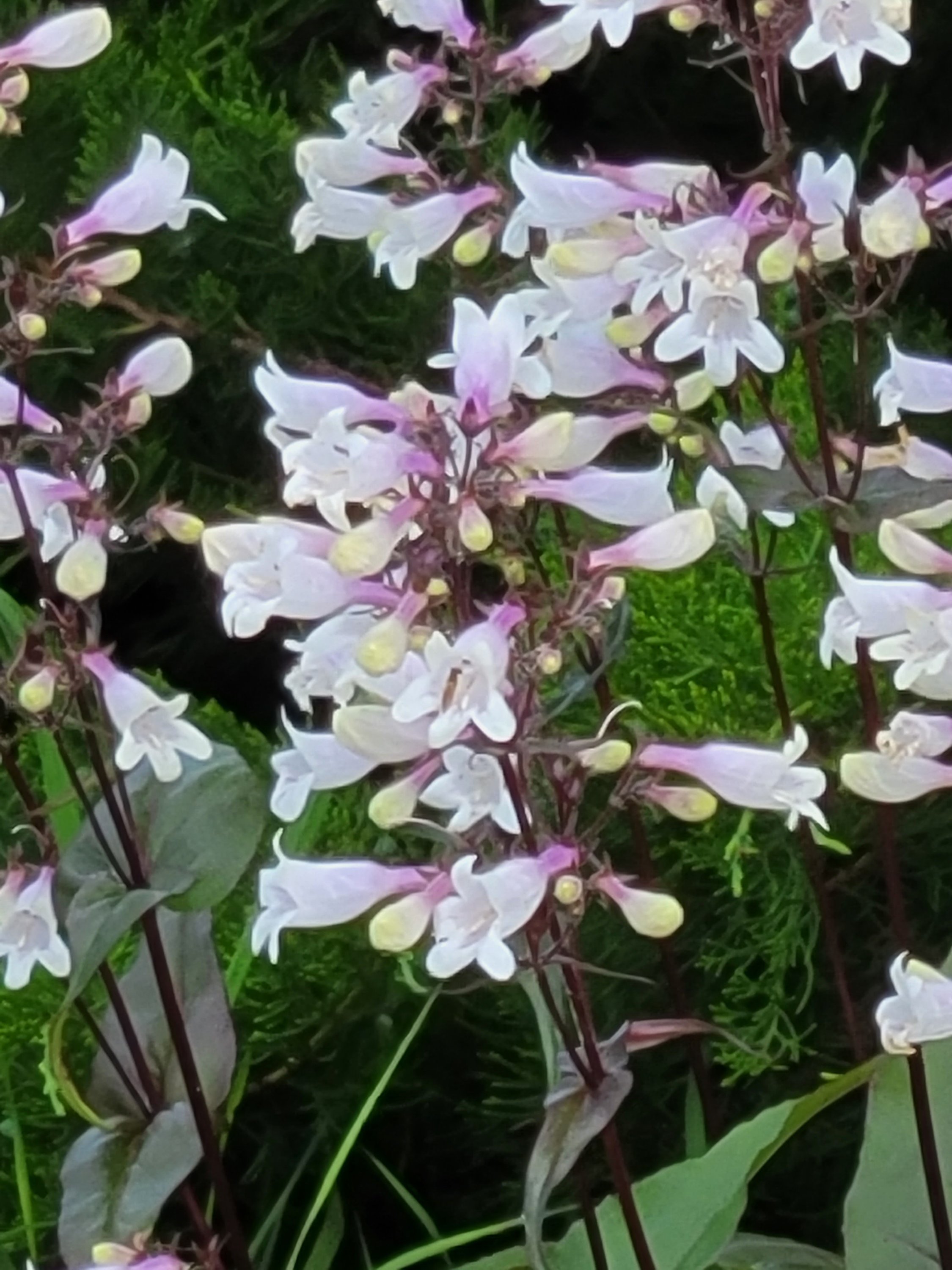
When I told her I just loved to stop to look at everything and take pictures, she told me about this bridge a few miles ahead.
Not sure how she’d feel about what I did to get this shot.
(it wasn’t that bad, really, I was more worried about dropping the camera than myself)
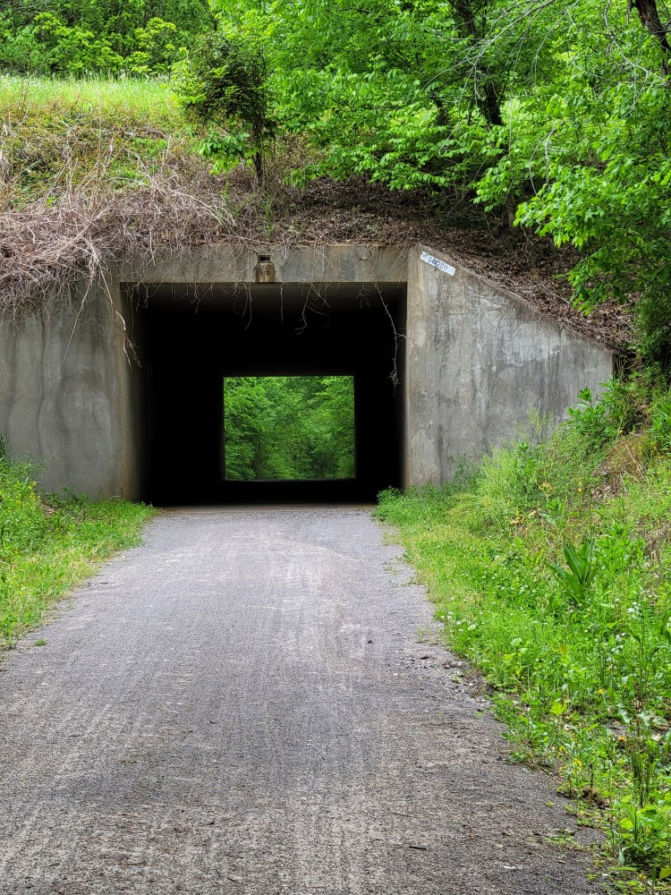
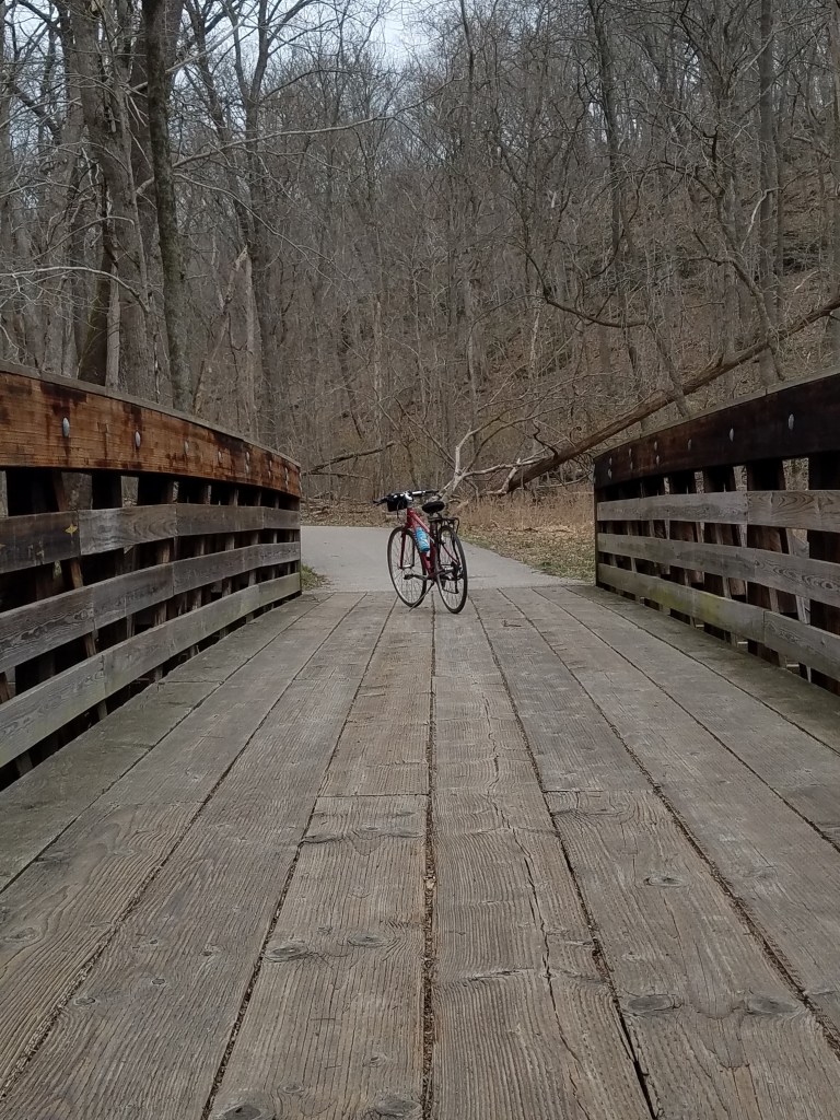
The Namesake Tunnel, a dark 543 feet and a literal light at the end of the tunnel. The air is cooling just from the thick stone leading up to the entrance. It’s completely dark inside, in spite of the sunlight glow from the other end. The confidence of my passage was bolstered mostly by the large group I’d just watched ride through. I’d forgotten the recommended bike light for this spot, and might have been a little more nervous otherwise.
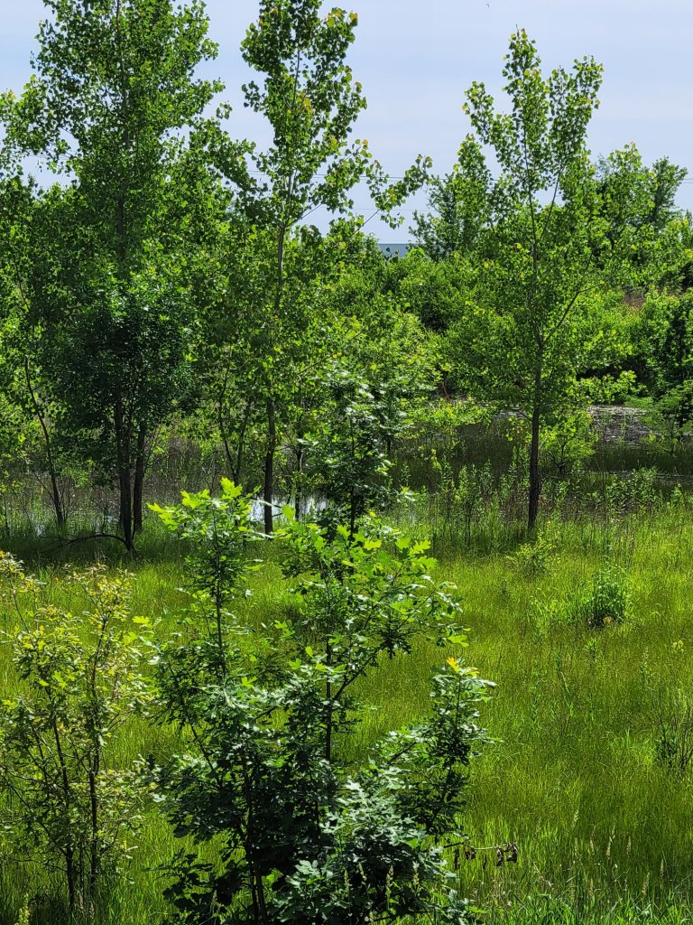
Past the tunnel, the trail is fast and mostly on the friendly side of a gentle incline.
I spin quickly through New Burnside and into Stonefort as scattered raindrops begin to splash at my face.
A couple at our B and B in Vienna had told us we had to try the Buckethead’s Catfish and BBQ in Stonefort.
We definitely second the recommendation.
Day two of my ride showed every intention as starting out as promised. Light drizzle as we ate breakfast at the Perkins House in Vienna, had shifted to a steady downpour as we hauled bags and bike out to the truck.
We decided to follow the plan anyway of driving back to Stonefort and just see what happened by the time we got there.
It was beautiful! By the time we arrived, the sun was out, the air was warm, and skies only slightly cloudy.
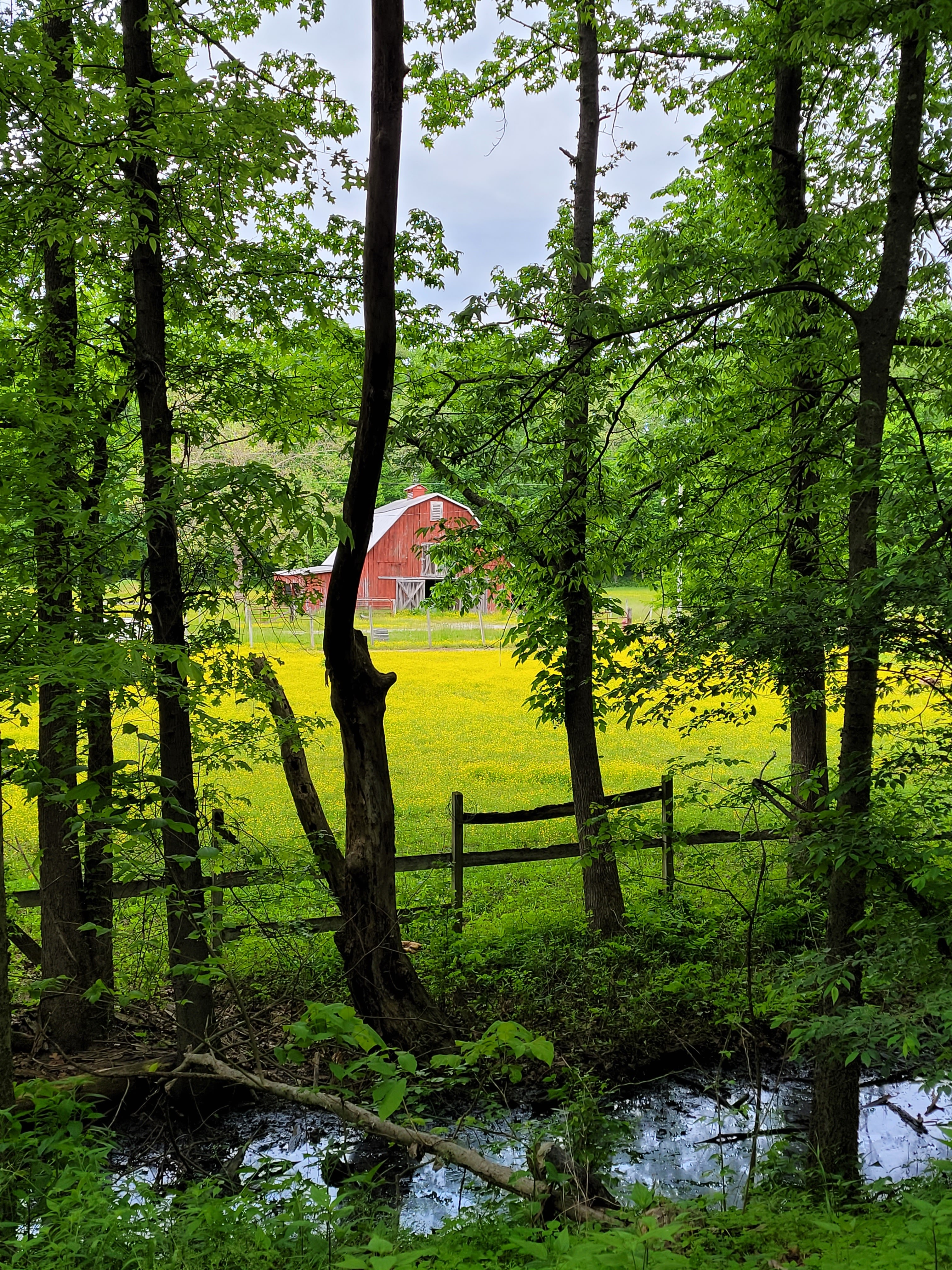
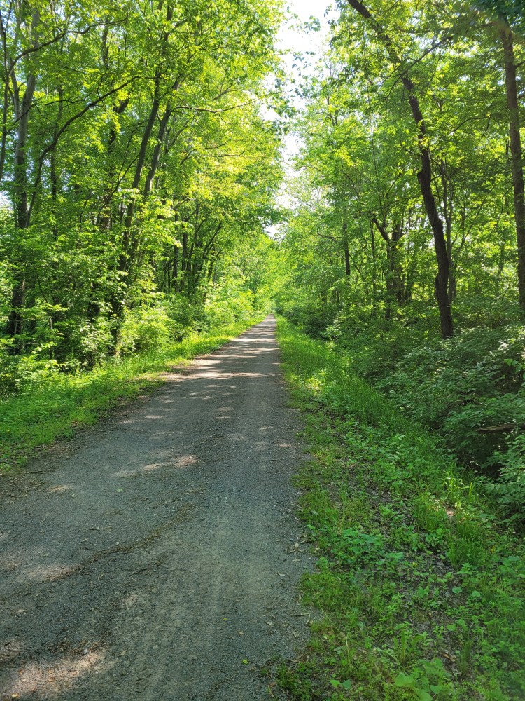
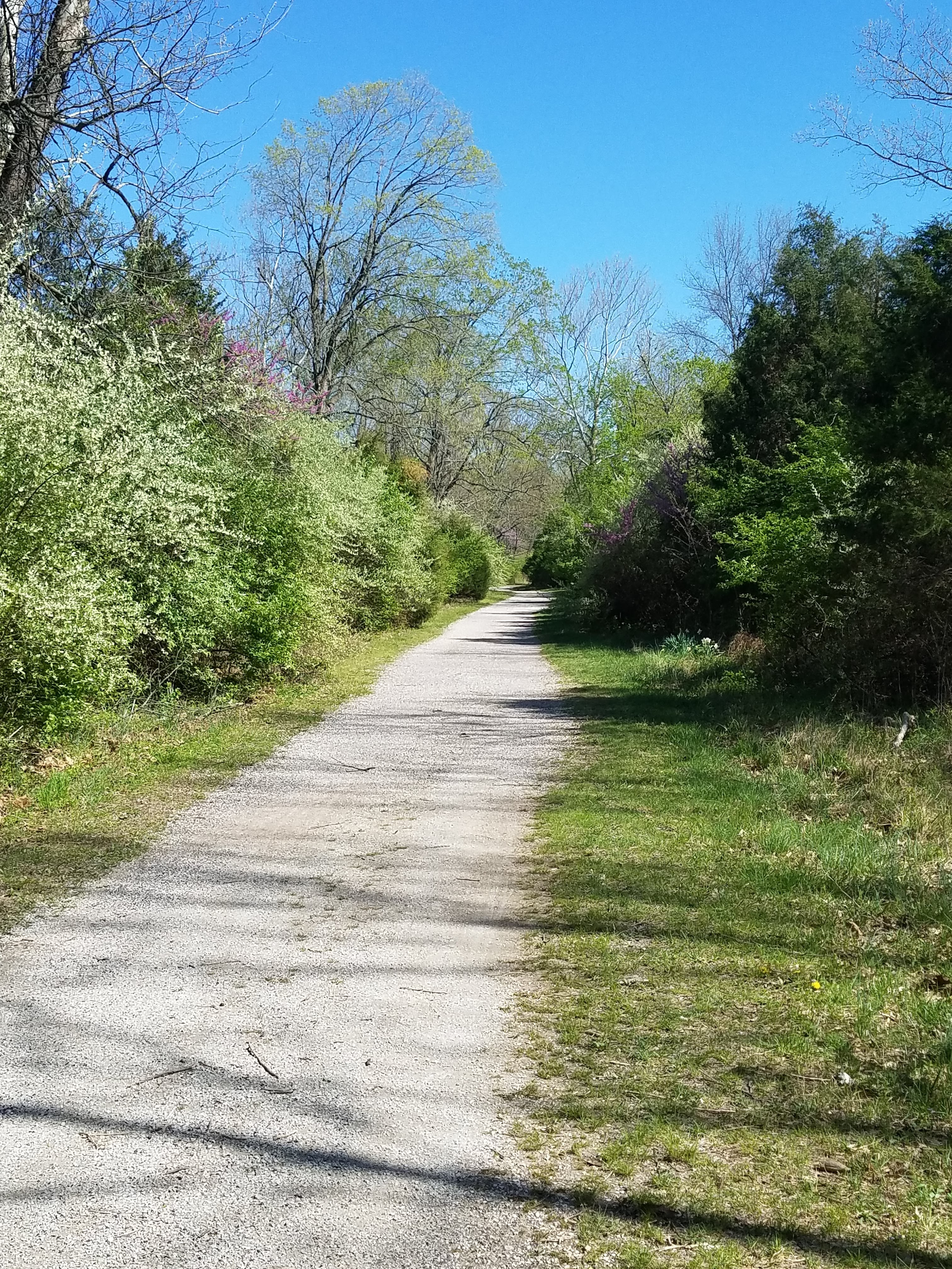
The trail parallels Route 45 now. There’s a fair amount of traffic noise, but thick woods intermittently obscure the road and muffle the sounds. It seems less traveled here. In places the center of the trail sprouts a line of weeds, not yet trampled by riders.
At Harrisburg, the trail shifts into several miles of paved city trail. It edges the town then curves around farmland and fields.
The final few miles into Eldorado alternated between a narrowed gravel trail, another short paved section, and then a strip so narrow, I’m afraid I might have lost the path somewhere. It widened eventually and lead into the town and a bare parking lot.
A few blocks on, a beautifully landscaped city trail system lead in two different directions. I learned later, that the official end of the trail was at the local high school, but I never found that.
I wasn’t worried about it at that point. I made it to Eldorado, so I feel like a did the trail. In any case, I spent two days in the gorgeous woodlands of southern Illinois and the Shawnee National Forest.
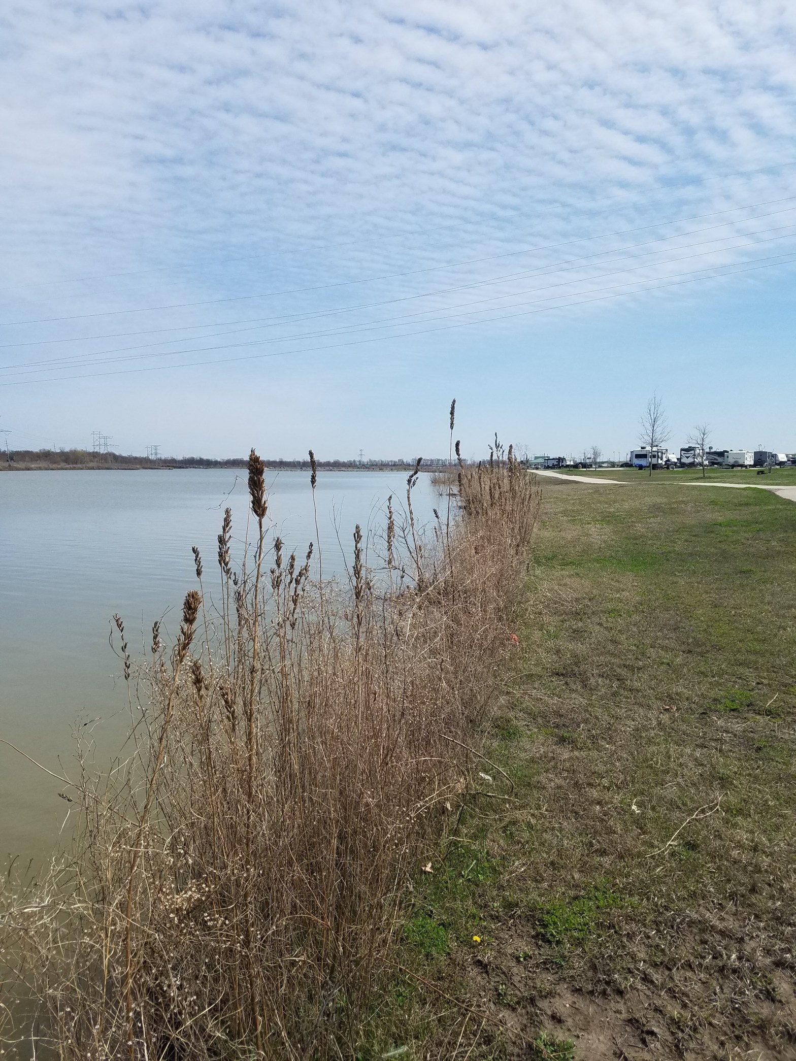
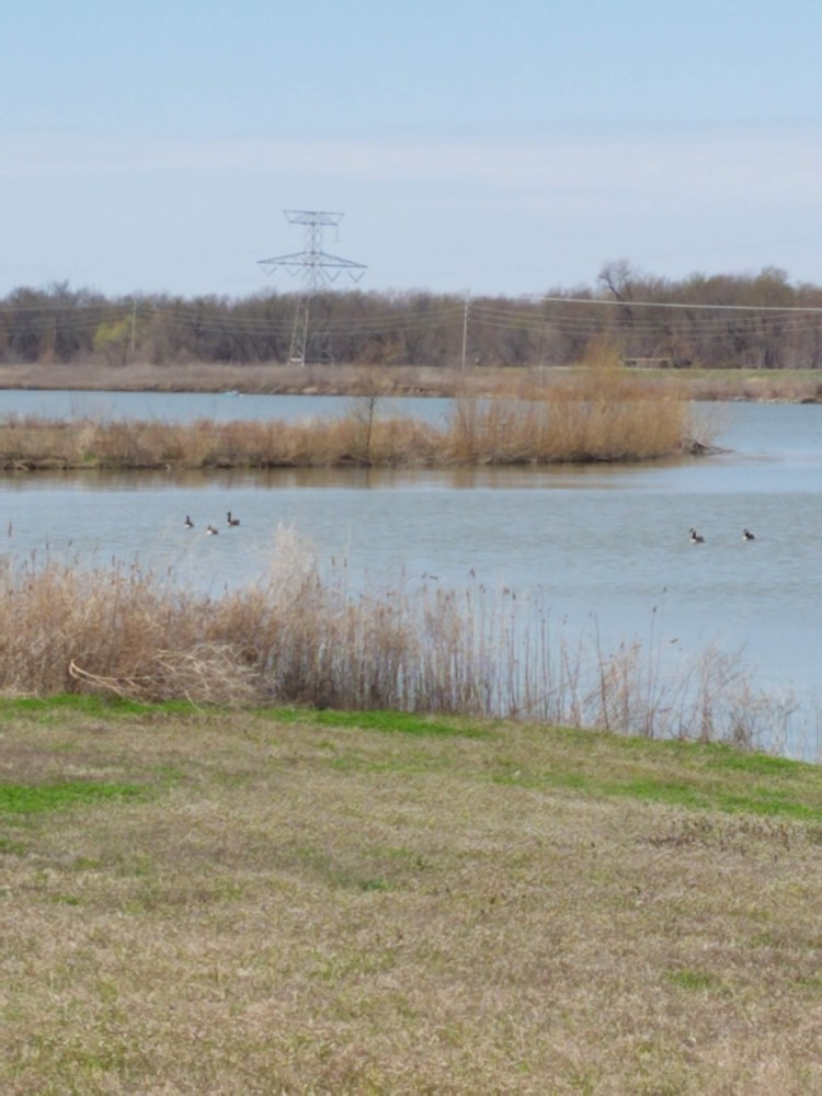
Sunny, windy, beautiful spring afternoon. The park is full and busy with bike riders and even a few horse back riders. There’s lots of room and multiple intersecting trail, it never feels crowded at all.
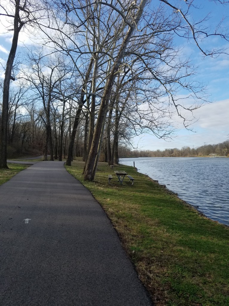
Beautiful sunshine morning. The park is packed with people, but the seven mile trail around the lake and the offshoot trail to Dardenne Greenway, leave plenty of space for everyone.
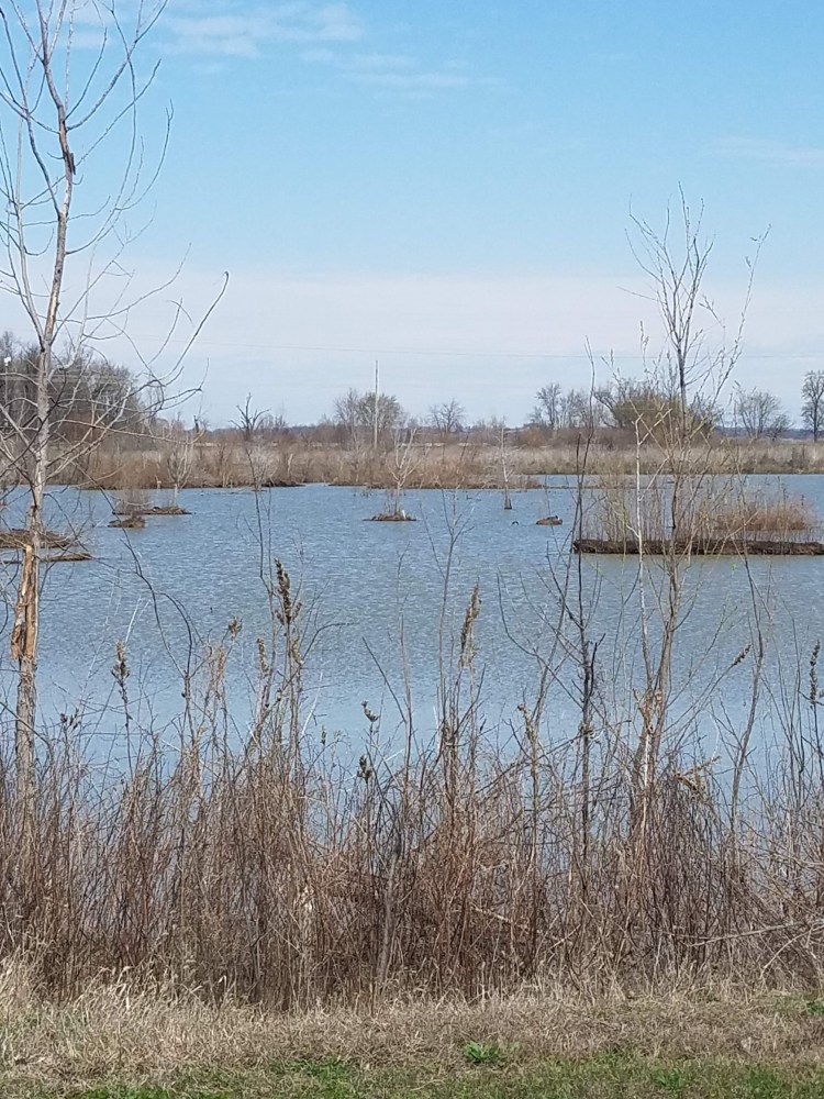
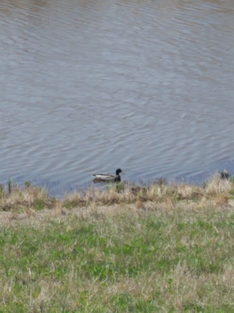
The swampy back trail chitters like bullfrog nursery, although I never see a single one. Ducks and geese take confident possession of the lake and overflow ponds.
The pavilions are humming with lively gatherings, excited dogs and children tug and play along the paths, a few brave groups even try out the paddle boats.
A springtime release, before the first of the seasons thunderstorms tumbles through in late afternoon.
This one was not easy to find. For my third 10/10 challenge, I wanted to try one to the south.
The directions seemed simple enough on the county challenge page, and my GPS was agreeable. Then it took my down a terrifyingly narrow and winding road down a bluff and deposited me on a dead end road that crossed the trail, but had no parking area.
I circled back to the main road though, and found the county park sign just a little farther down the road.
It still seemed pretty deserted, but there was a clearly marked path, good signage, and several parking spots.
It actually turned out to be pretty well traveled. I passed several joggers, a few more bikers, and families out with their children.
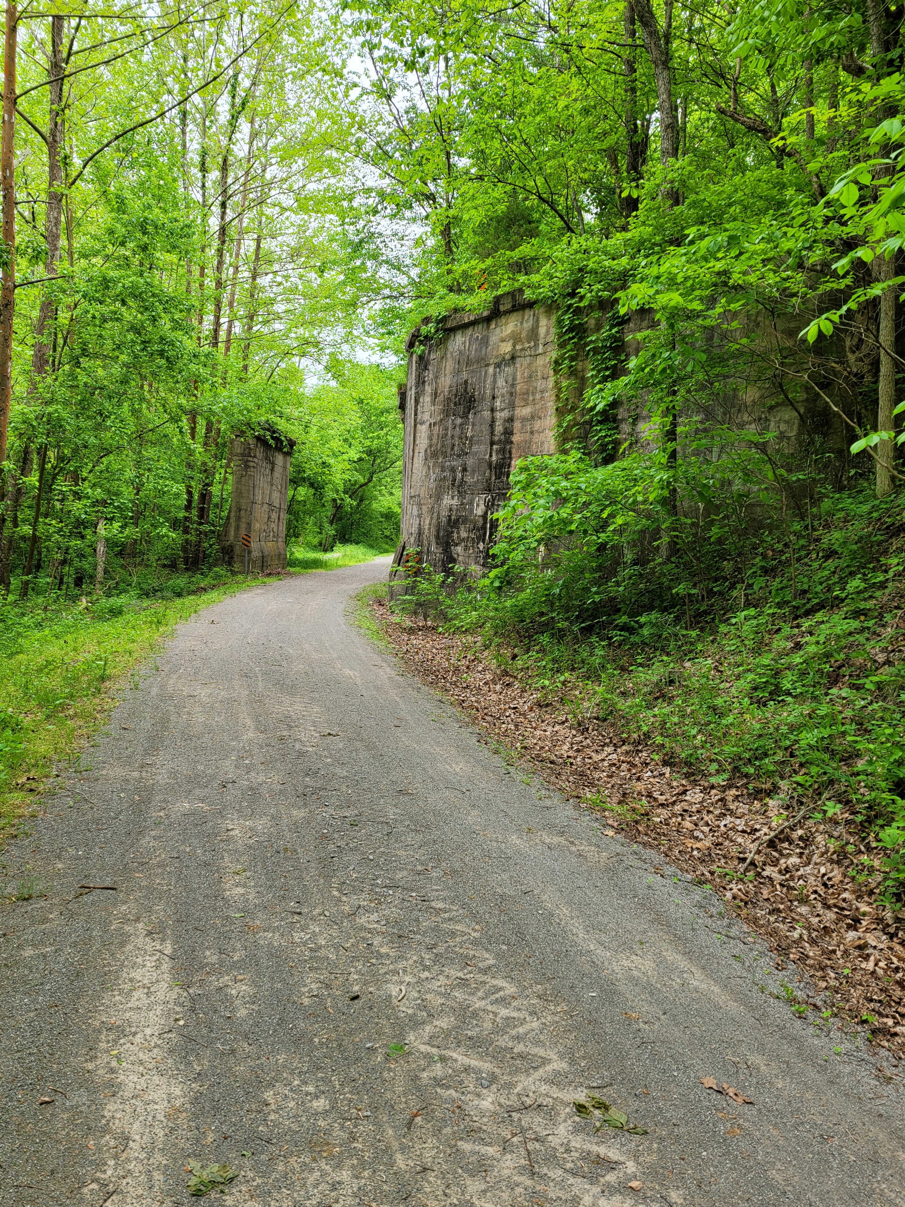
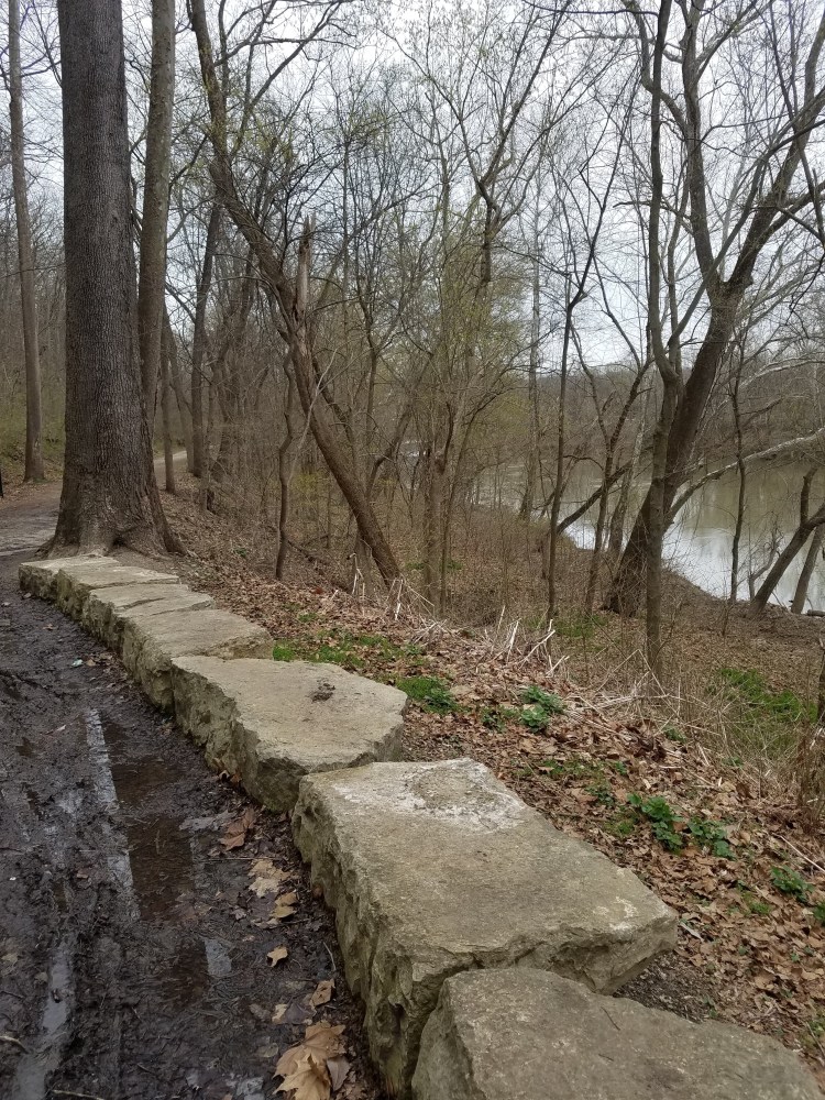
The trail runs alongside the Meramec River bluffs and the tracks of the Wabash Frisco and Pacific Steam Railway
The suggested connector trail to get the 10 mile loop was the Rock Hollow Trail, although there are several other choices.
It’s paved, as promised. It is also referred to as “hilly” . To me that means it should go up and down. I guess that’s honest enough. It goes up; all the way to the top of the bluff, then when you turn around it goes down again.
It wasn’t that bad really. It’s very beautiful, and mostly manageable, though I did push my bike up the last section.
There’s a school at the top of the hill, with a wonderful outdoor learning area full of picnic tables and plants. I hope they’re able to use the trail, it would be an amazing natural classroom.
A second, and much more successful attempt to do the 10/10 bike challenge here. The sky is mostly clear today. It’s a little breezy, but nice in my jacket and the sun reflects warmly off the lake. Parts of the trail are lightly puddled from yesterday’s rain, but most is clear and dry.
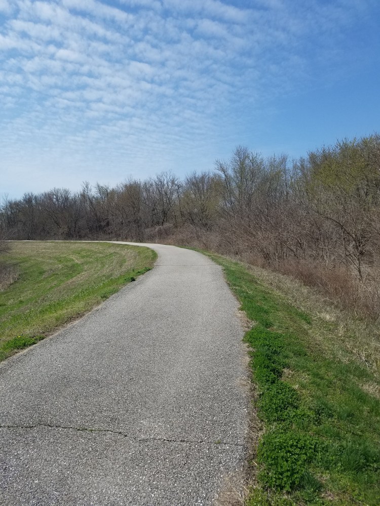
It’s a beautiful quiet park. The bike trail loops the lake in 1.4 miles of tree-lined, mostly level surface, heavily populated with birds. They sing and call constantly, scattering in almost deliberate tease, when I stop to try to photograph them.
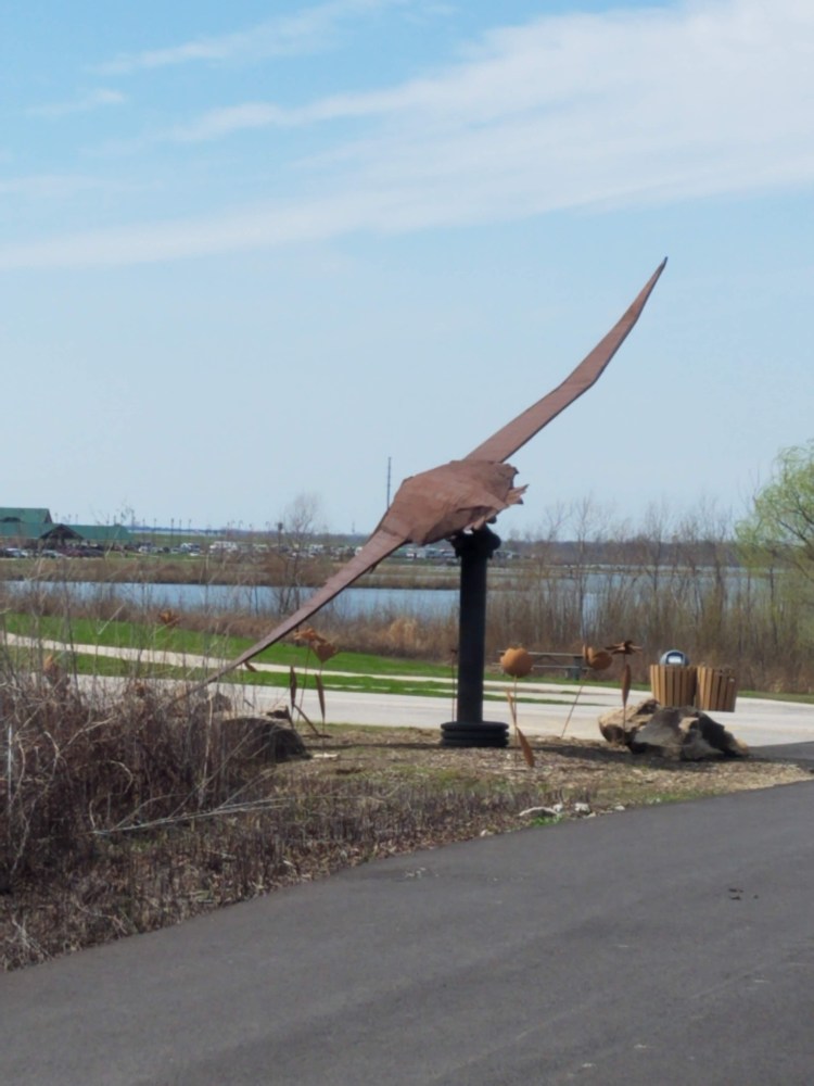
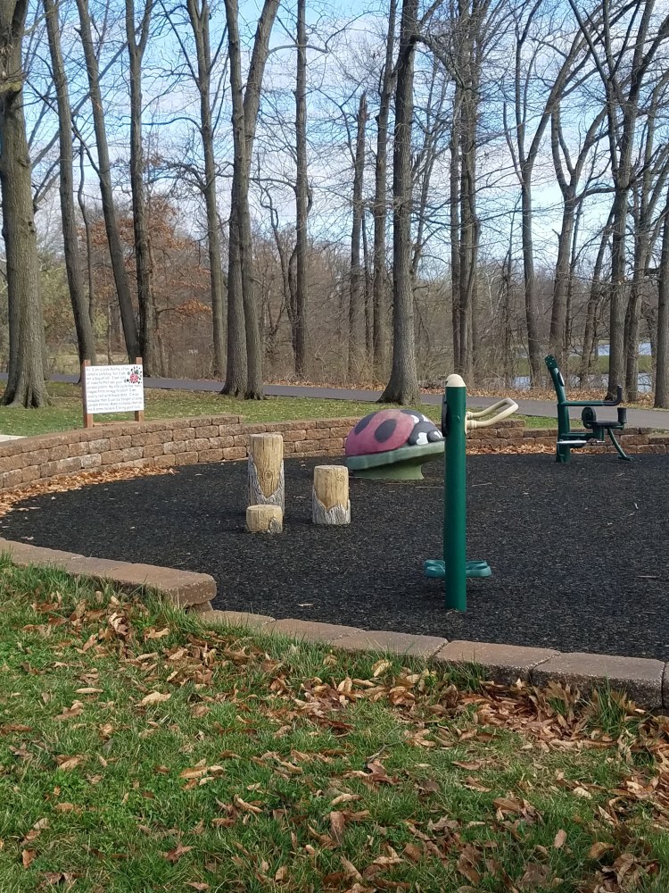
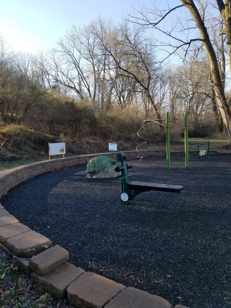
It’s a fun park for all kinds of activities. Around the walking/biking trail are several fitness stops with work out gear and fun models and nature signs for kids. A fishing pier, open fields and huge picnic pavilion set it up for all kinds of family fun.
The county published a new spring biking challenge; 10 county parks with 10 mile routes marked. There’s supposed to by a stamp to mark your completed rides, although I didn’t see that today.
I already know several of the parks they list, but not all of them. It sounds like a fun way to back in shape for summer rides with my newly tuned up bike.
I’d never been to Bella Fontaine before. I thought at first it was a misprint of Fort Belle Fontaine, a beautiful hiking park, but not one I would have considered riding. They’re not far from each other, but definitely not the same park.
The park is quiet and filled with birds set within a residential area and bordering a busy roadway. There are two playground areas connected by a greenway trail. I didn’t realize the first time, the trail went under the road, which was really nice for the rest of my laps. Within the main park, there are ball courts and a fishing pond with a loop trail around them. It was pleasantly busy on this weekday mid afternoon; a few bikers, some dogwalkers, and a group of teens playing basketball.
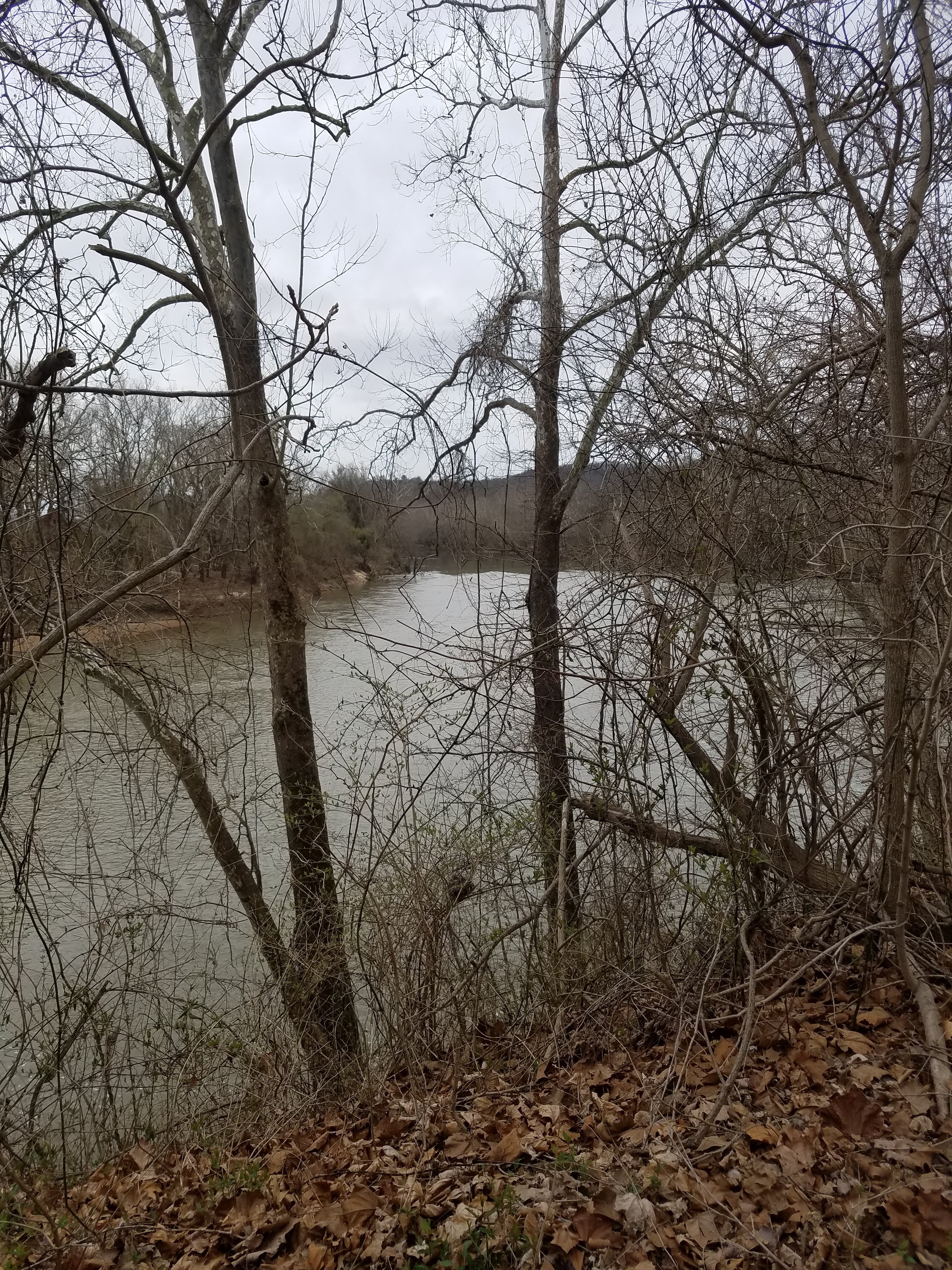
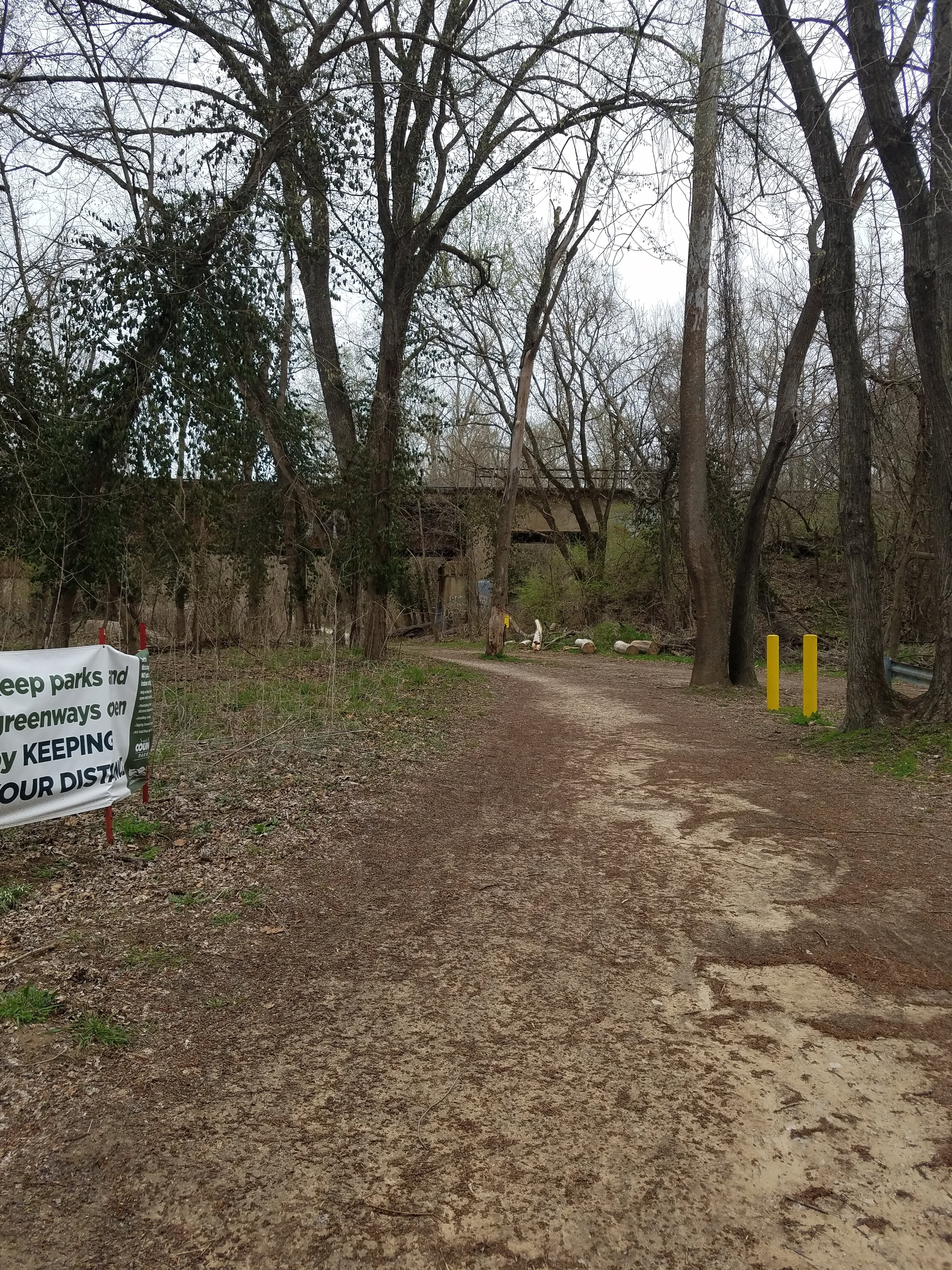
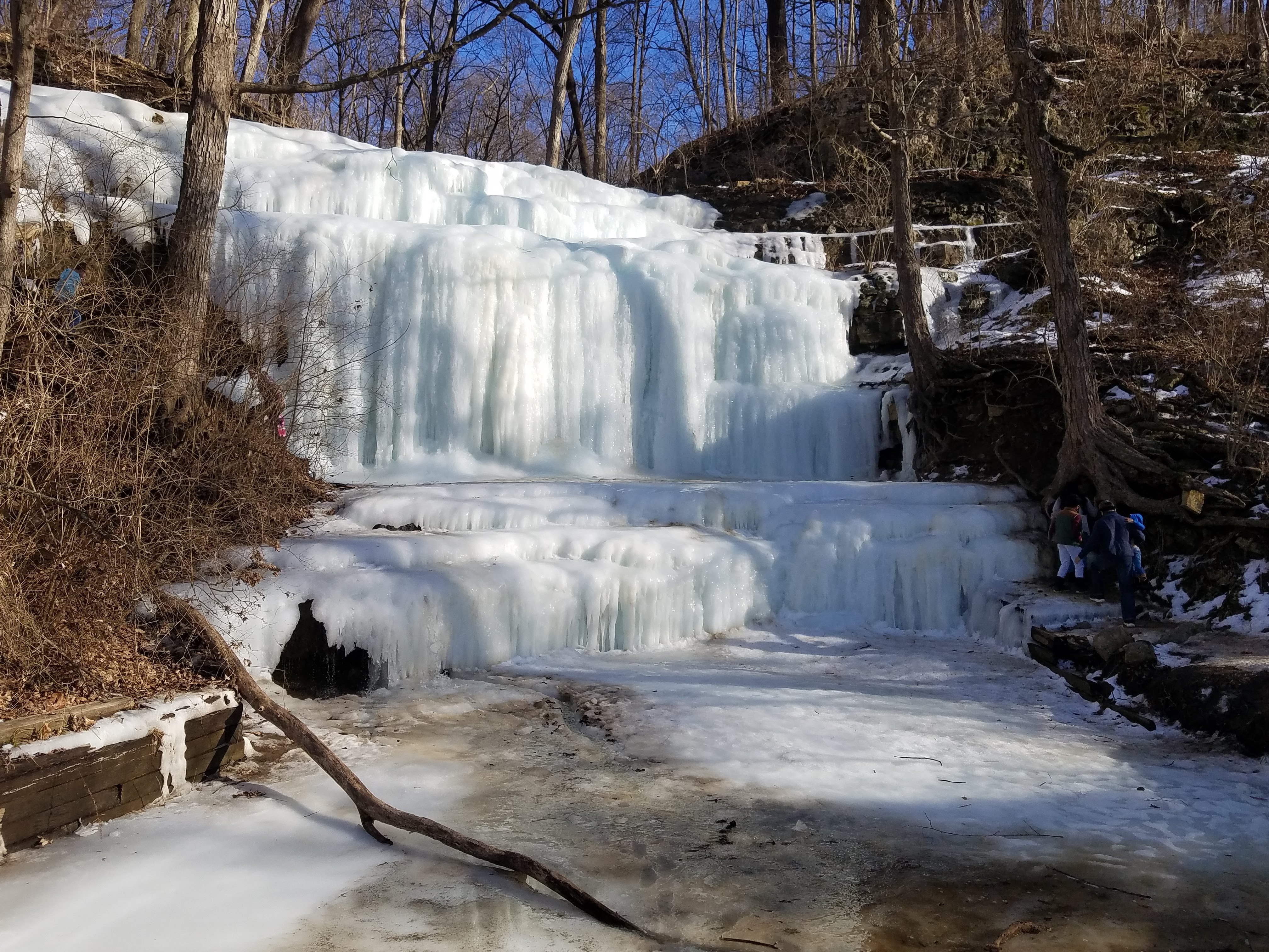
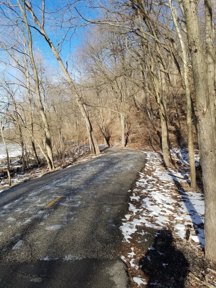
The trail is rugged and often dissolved. Frozen in time by flooding in 2019 and Covid in 2020. Muddy from the recent snowmelt, it’s sometimes hard to navigate even where it’s still open. But the sun is out, and the breeze is only slightly cool, and the river tumbles the final chunks of ice to their southern doom.
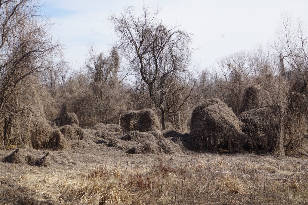
We stumble on a back trail cove that looks like a science fiction movie set. A barren eerie landscape huddles in mysterious post- apocalyptic webbing. This would be the scene were the idiot stars walked casually in and were eaten by whatever sprang from beneath the shrouded brush. So, of course, we did the same.
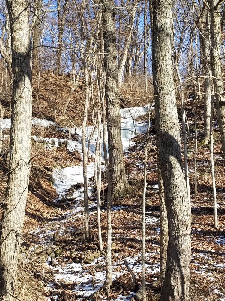
It’s feels almost like spring after so many shockingly cold days. Fourteen, I think they said, days below freezing. That’s not something that happens around here much. The snow is almost gone, but the waterfall and lake are solid ice, plant life captured in their grasp.