Driving into the park, I’m debating about my hat and gloves. Do I stuff them into my jacket pocket in case I need them later?
But what if I decide to take off the jacket as I climb? Then it’s impossible to pack it into itself. I’ll have to tie it around my waist, which I find enormously irritating.
Two minutes out of the truck and the decision is made. I toss gloves, hat, and the jacket back into the passenger seat in already warm December sun.
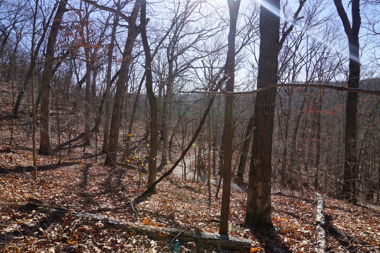
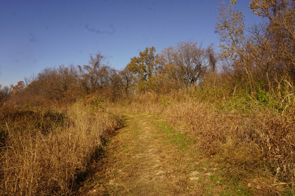
The trail begins with a short wooden flight of stairs.
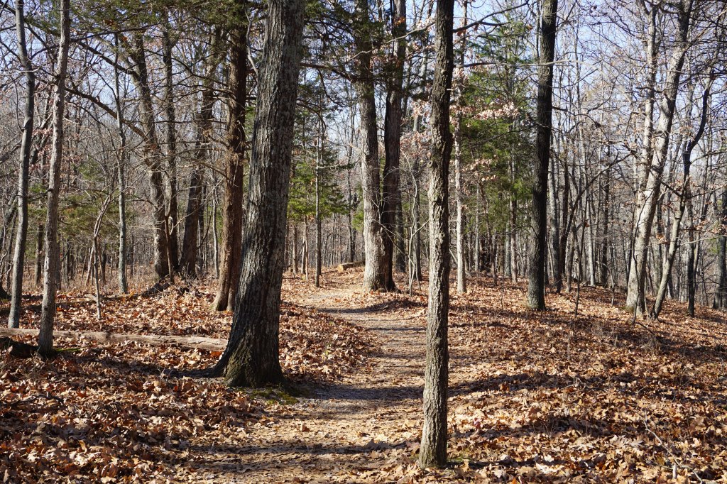
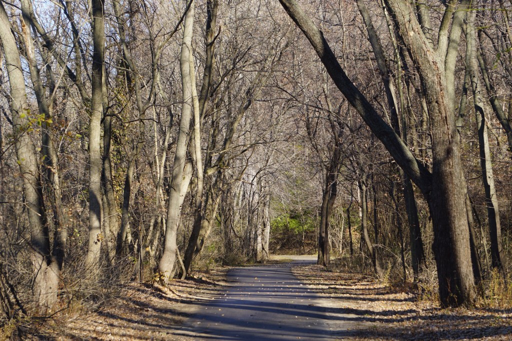
then it winds at a fairly gentle incline up the hill.
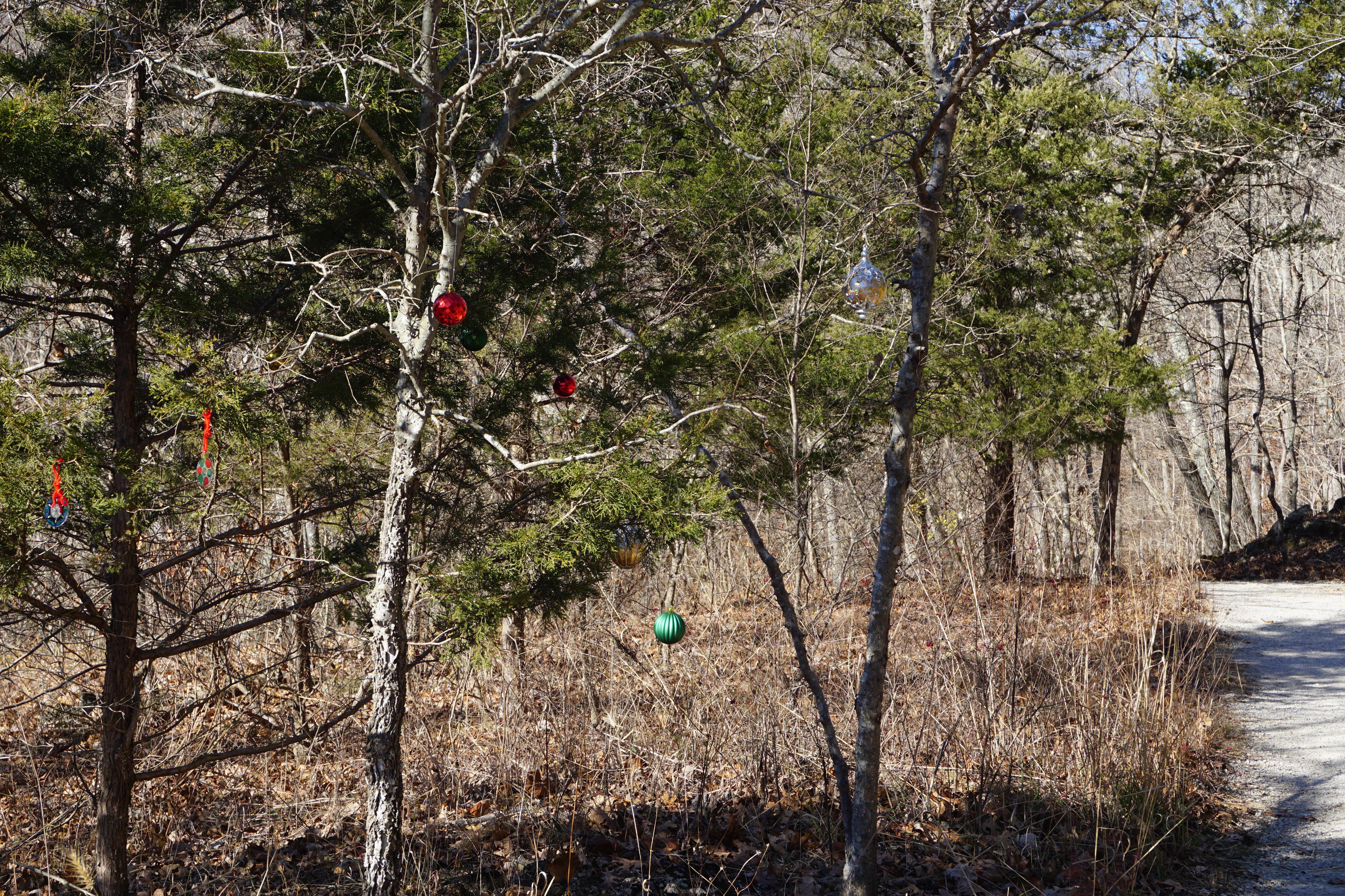
A cheerful Christmas surprise brightens the side of the trail. There’s nothing to say who did it or what it’s for; park rangers? some kids playing around? It’s a bit of unexpected fun either way.
There was a little distant machinery roar at the beginning of the trail. It’s hushed to silence now, muffled by the hills and the carpet of leaves.
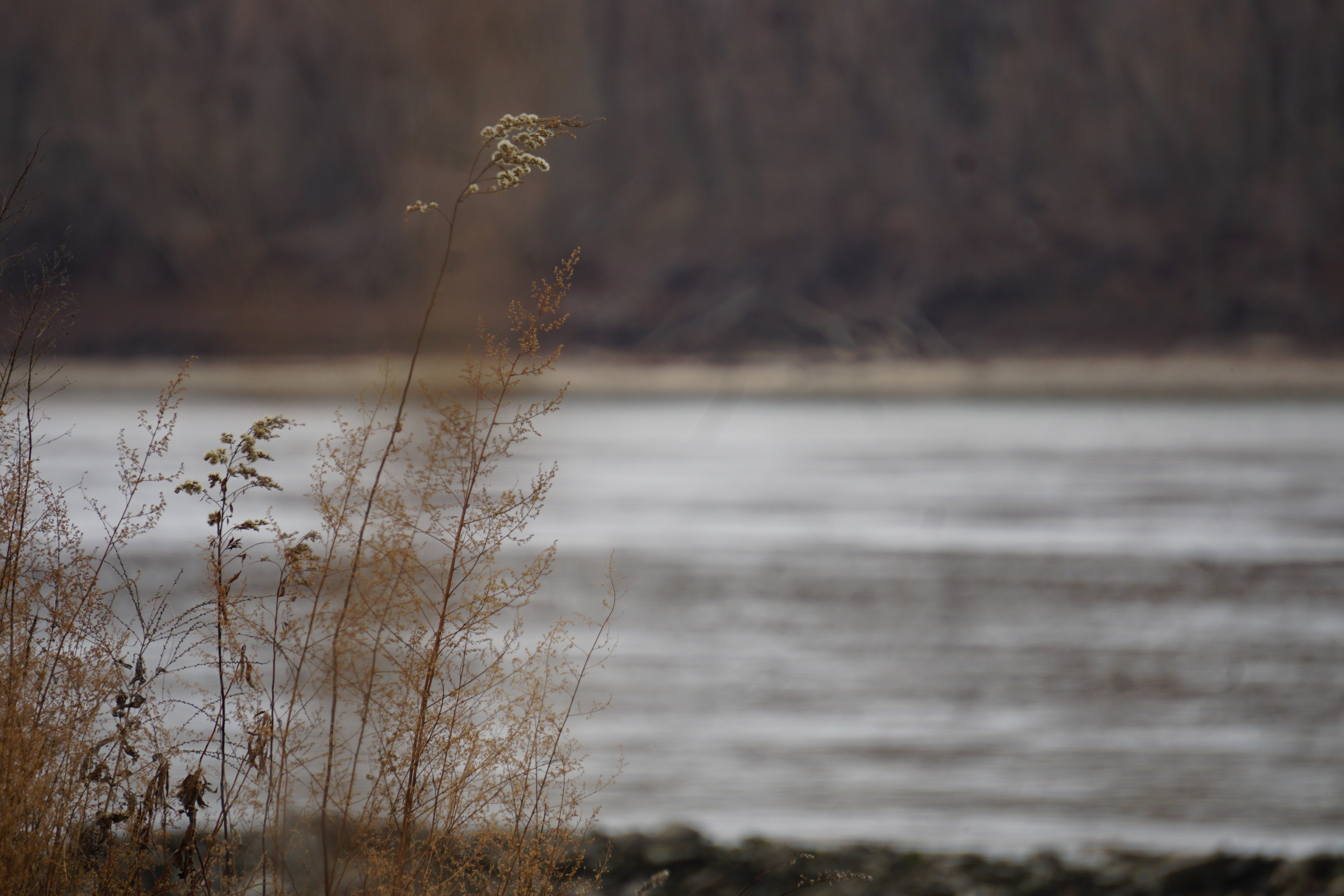
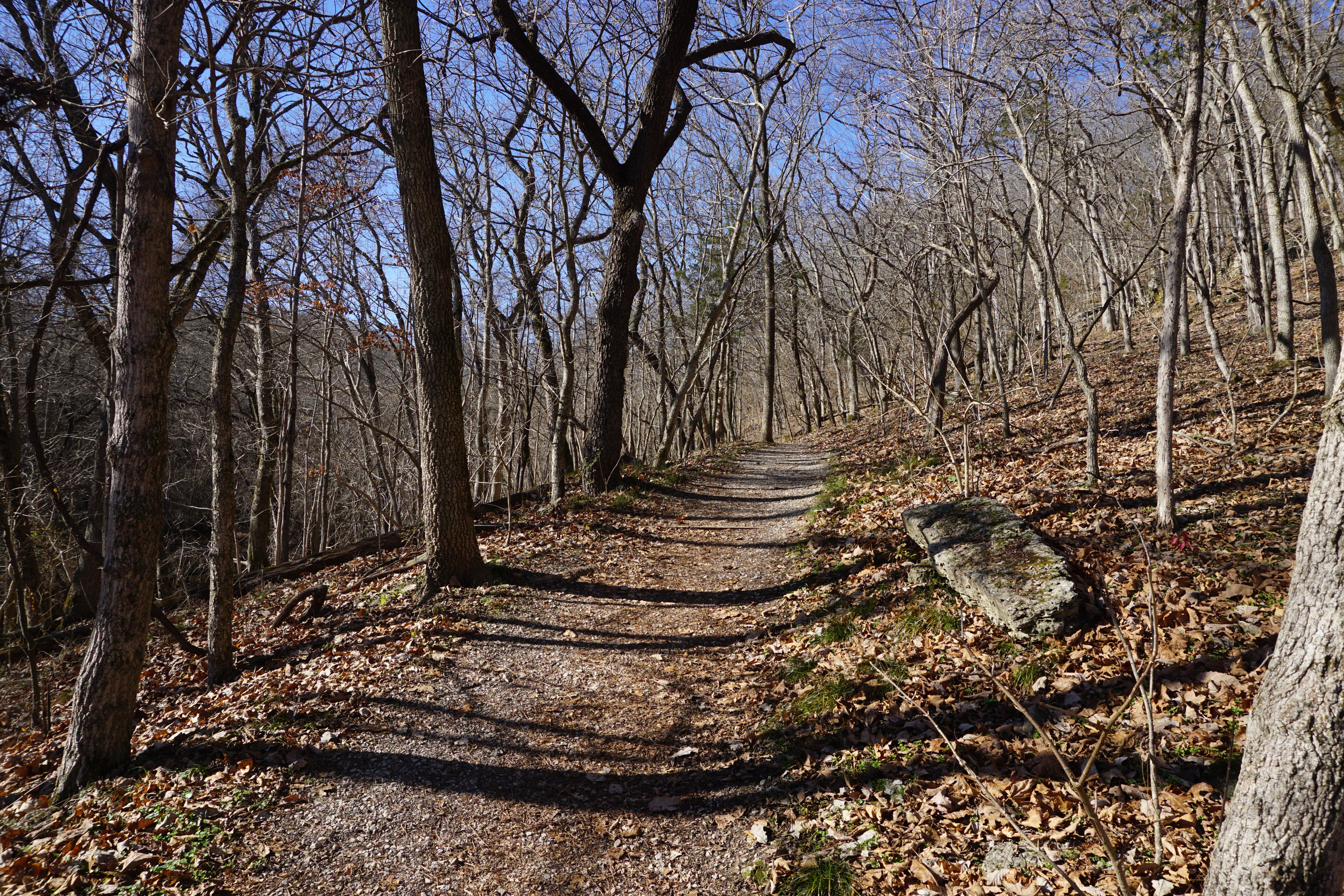
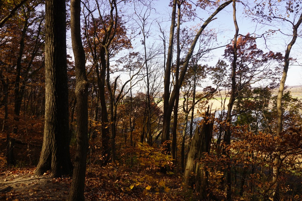
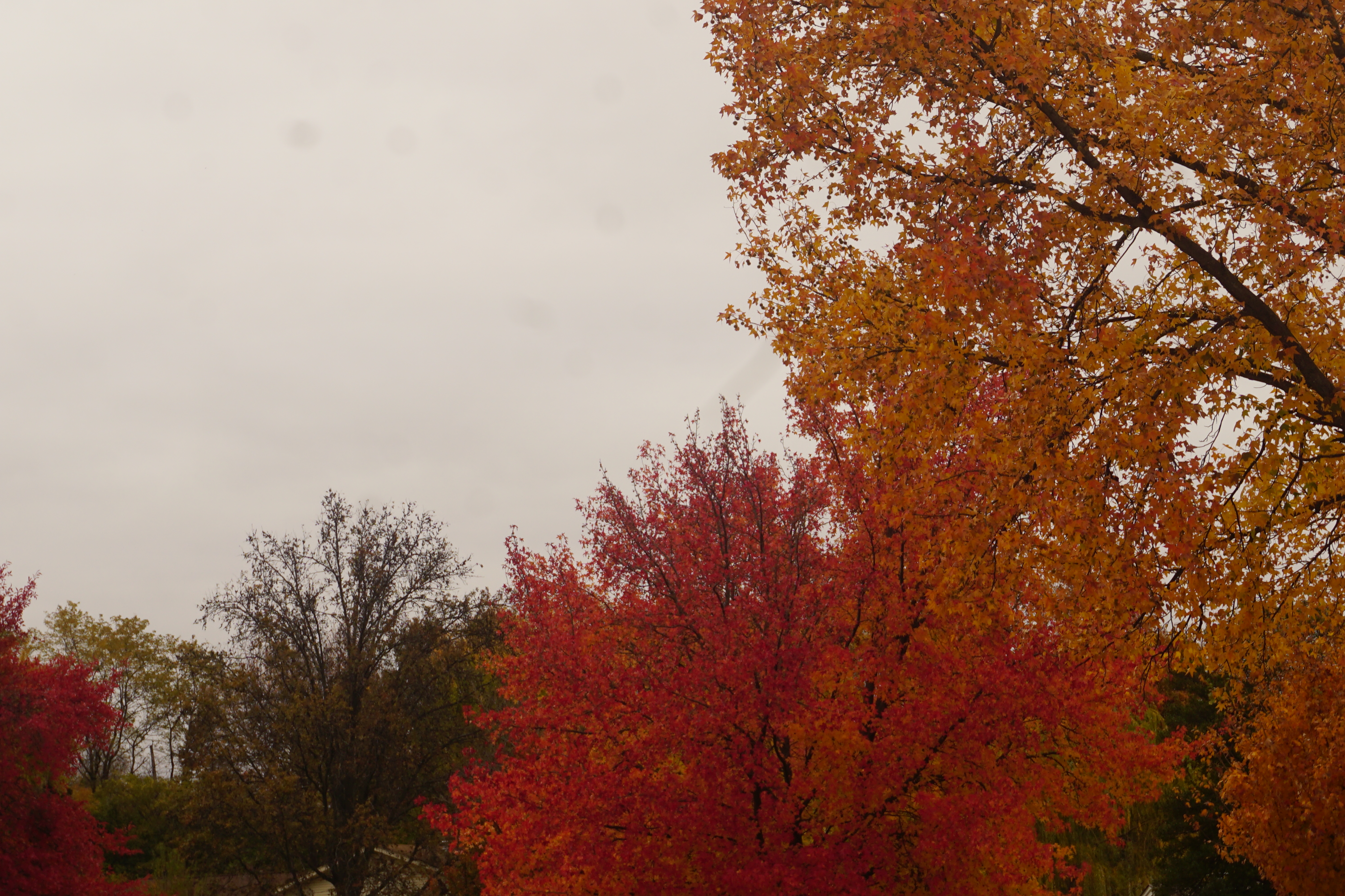
Through the skeletal trees, the views of the rolling hills extend for miles.
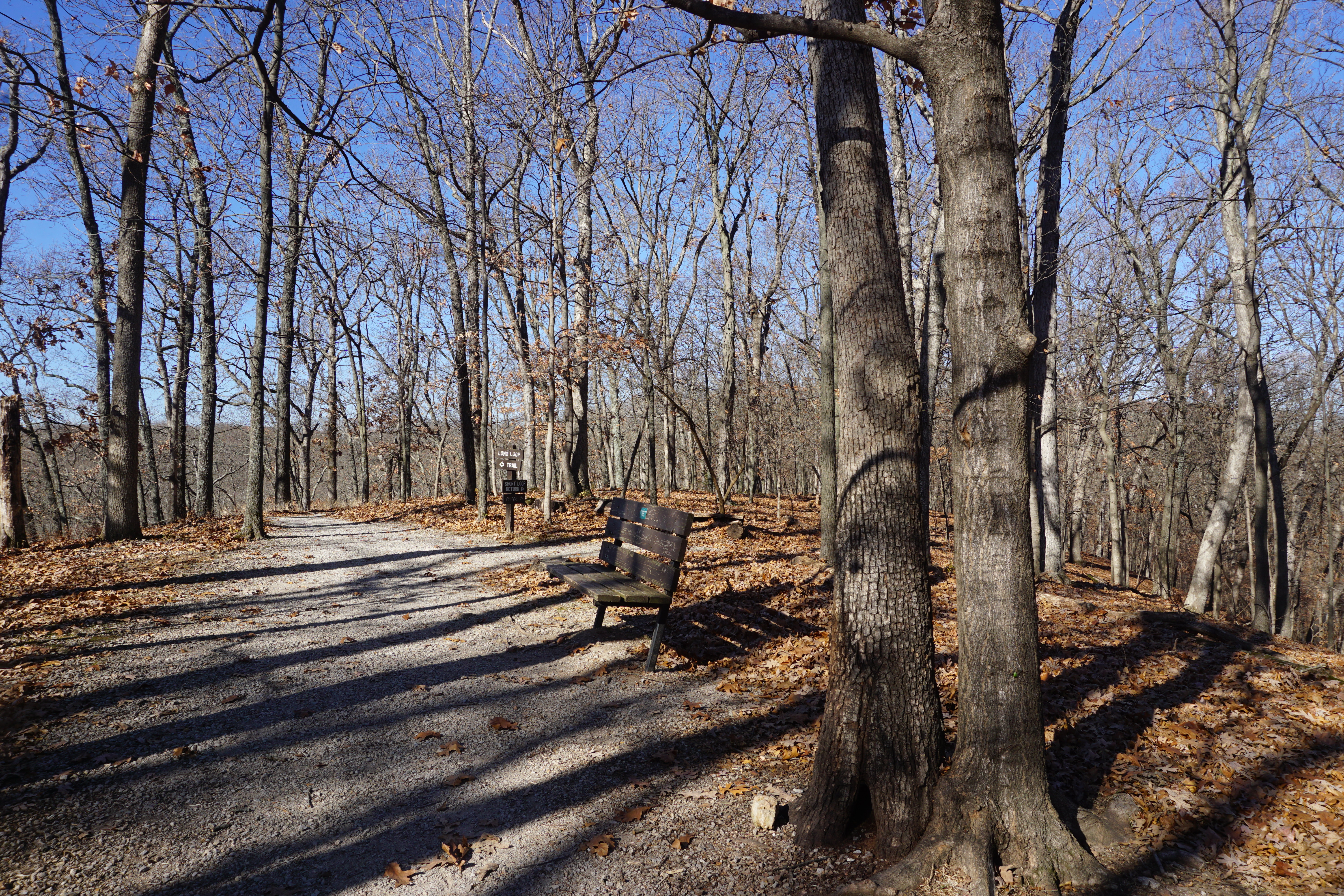
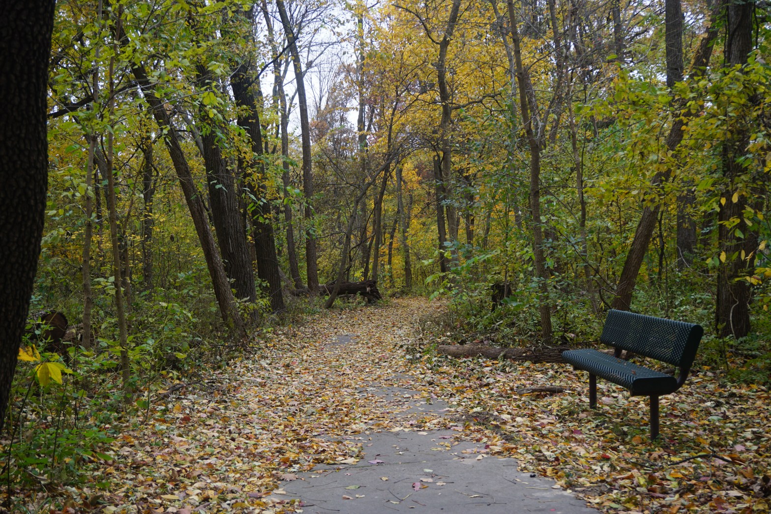
Near the top of the hill, a bench invites a quiet rest and a short cut trail branches off, leading back down to the trailhead.
There are a handful of other solo hikers today, and the occassional distant chatter of what sounds like a children’s school trip.
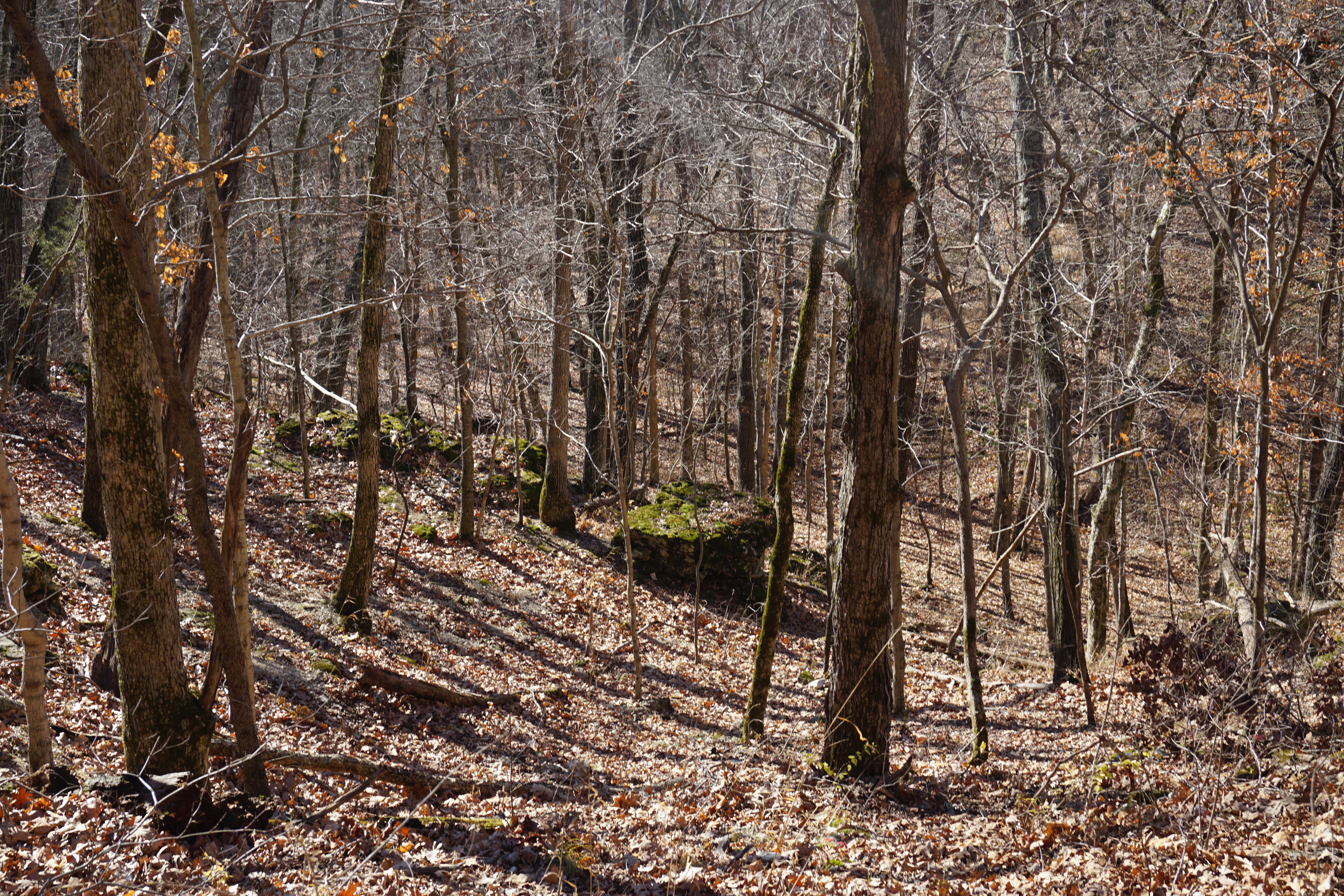
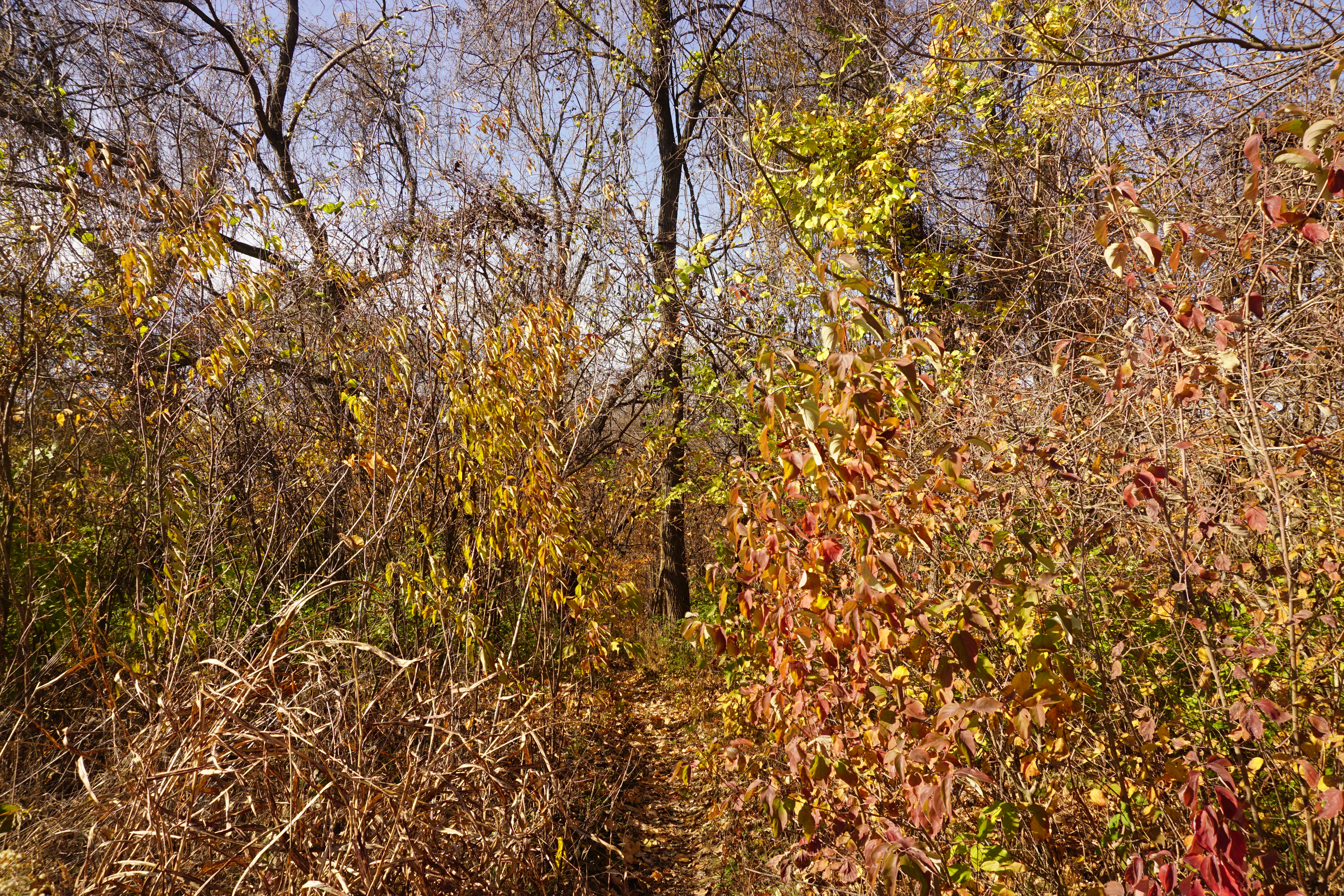
The trail levels out along the ridge for awhile, then begins it’s descent back into the valley,
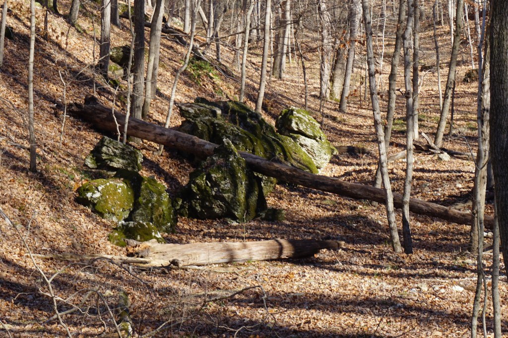
where tumbled boulders and craggy rock formations,
tease at a mysterious little cave.
The trail ends at the road and wanders alongside it to the visitors center parking lot to form a two mile loop.
It’s only one of many trails in park. I’ll definitely be back to check out the others.
It’s the first week of December, the skies are brilliant blue, and the temperature is edging into the 70s.
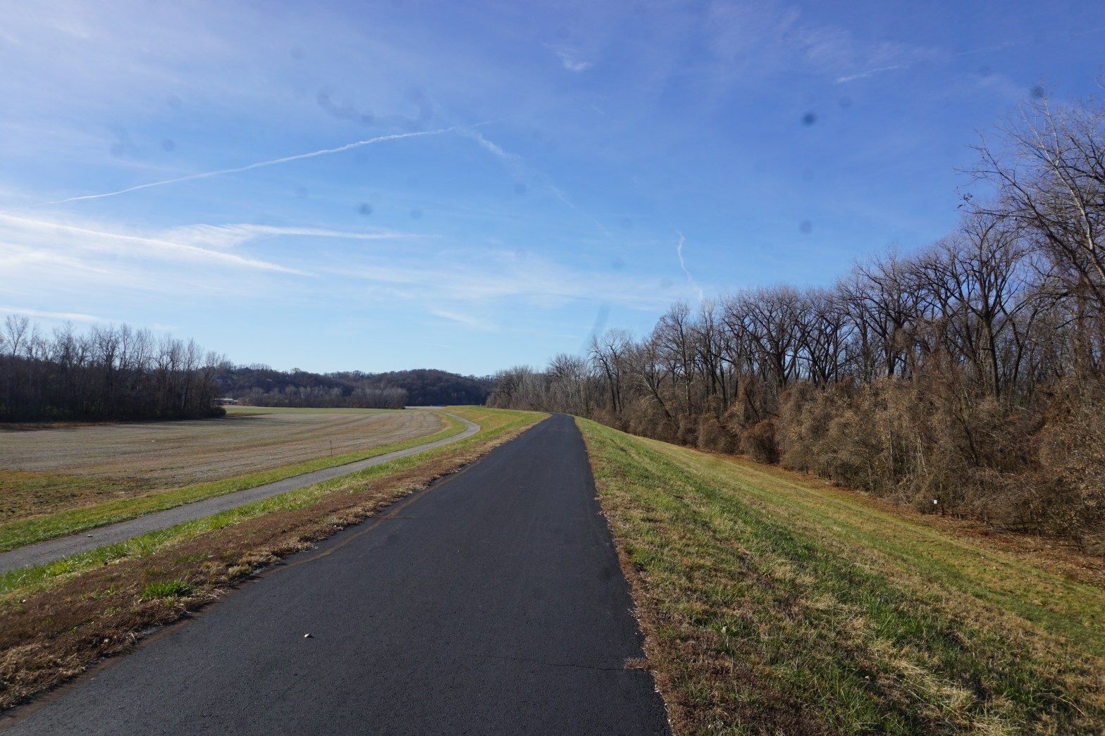
I loaded up my bike and drove to South County to explore the Chesterfield Levee section of the Missouri River Greenway.
It’s a great fitness trail, with a wide, smooth, asphalt surface, though not particularly scenic on the eastern end.
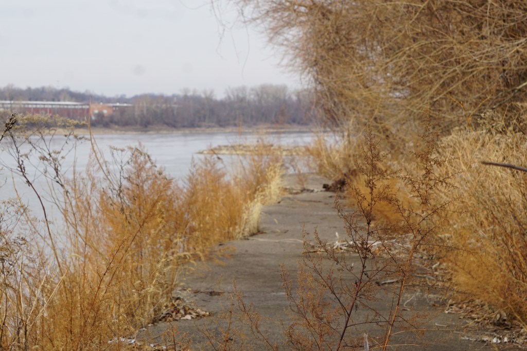
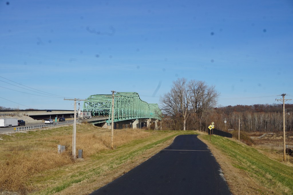
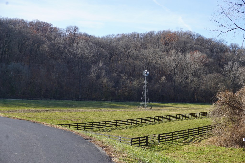
Past the Daniel Boone bridge, it skirts some pretty farmland, and then ends with a beautiful view of the hills at the LeCave Trailhead.
The strength of the trail to me though, was all the interesting access paths.
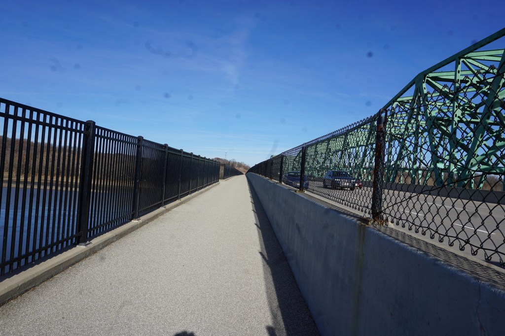
First, a complete separate bike lane bridge crosses the Missouri River and leads to a path down to the Katy Trail. It drops in about half way between the Greens Bottom and Weldon Spring trailheads.
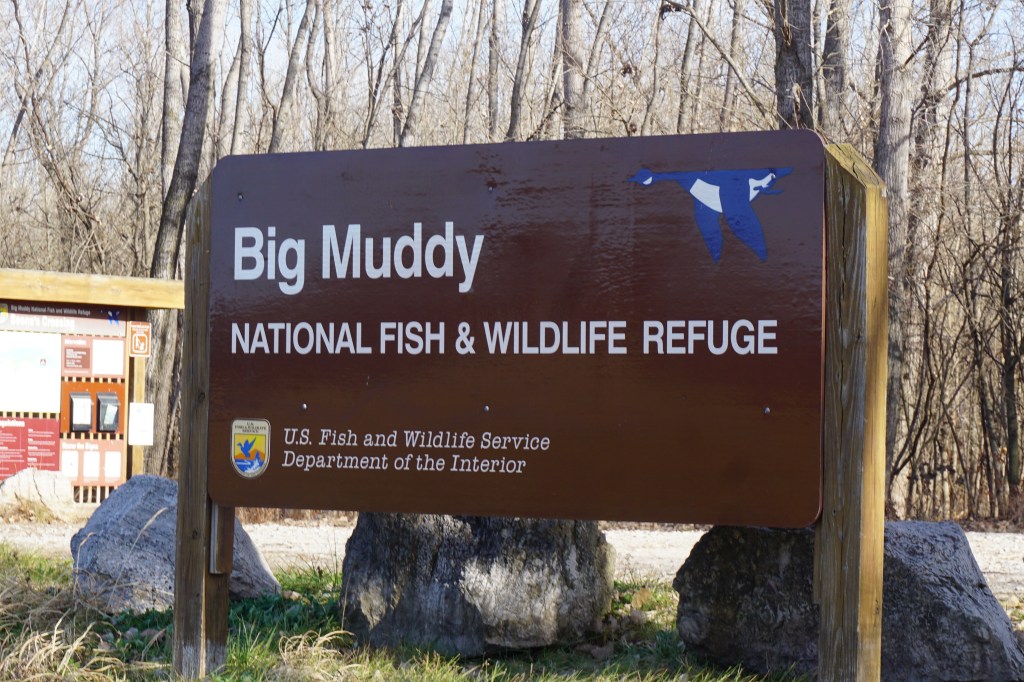
Then, back toward the eastern trailhead, across from the athletic complex, is a bumpy gravel trail down to the Big Muddy National Fish and Wildlife Refuge.
The refuge is limited to hiking only, so I had to put up my bike and return. Even though the greenway was packed by the time I got back, the refuge was completely deserted.
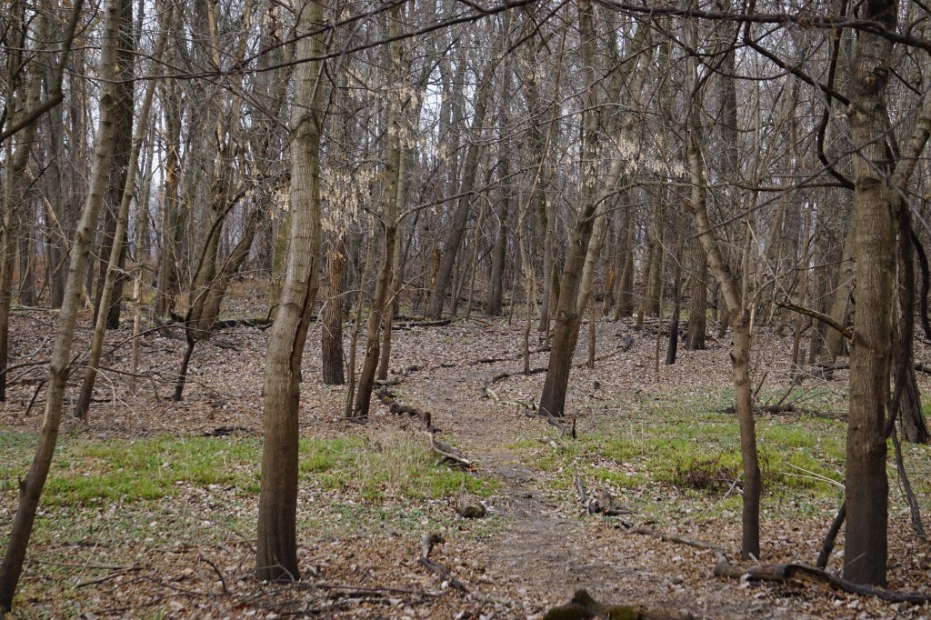
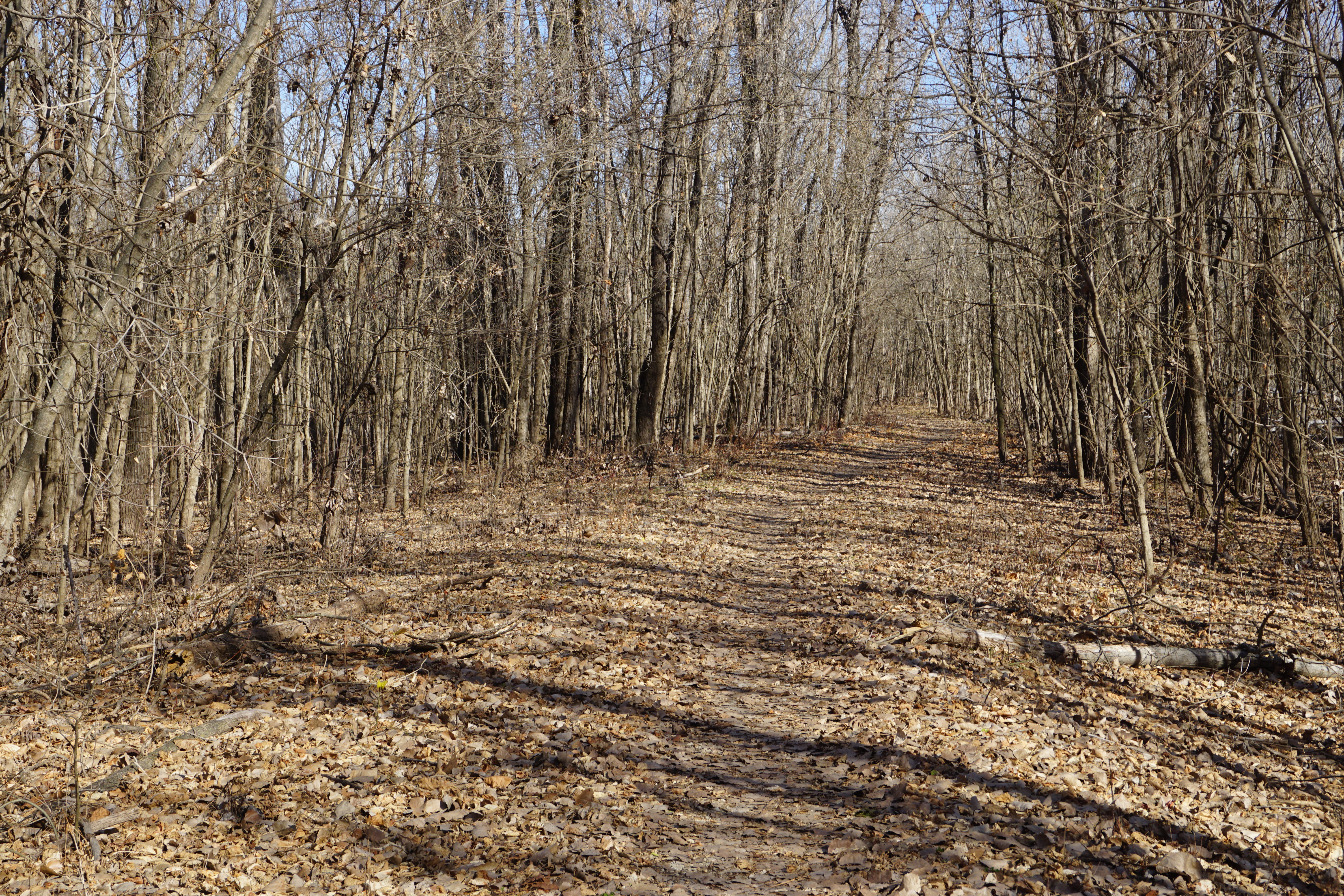
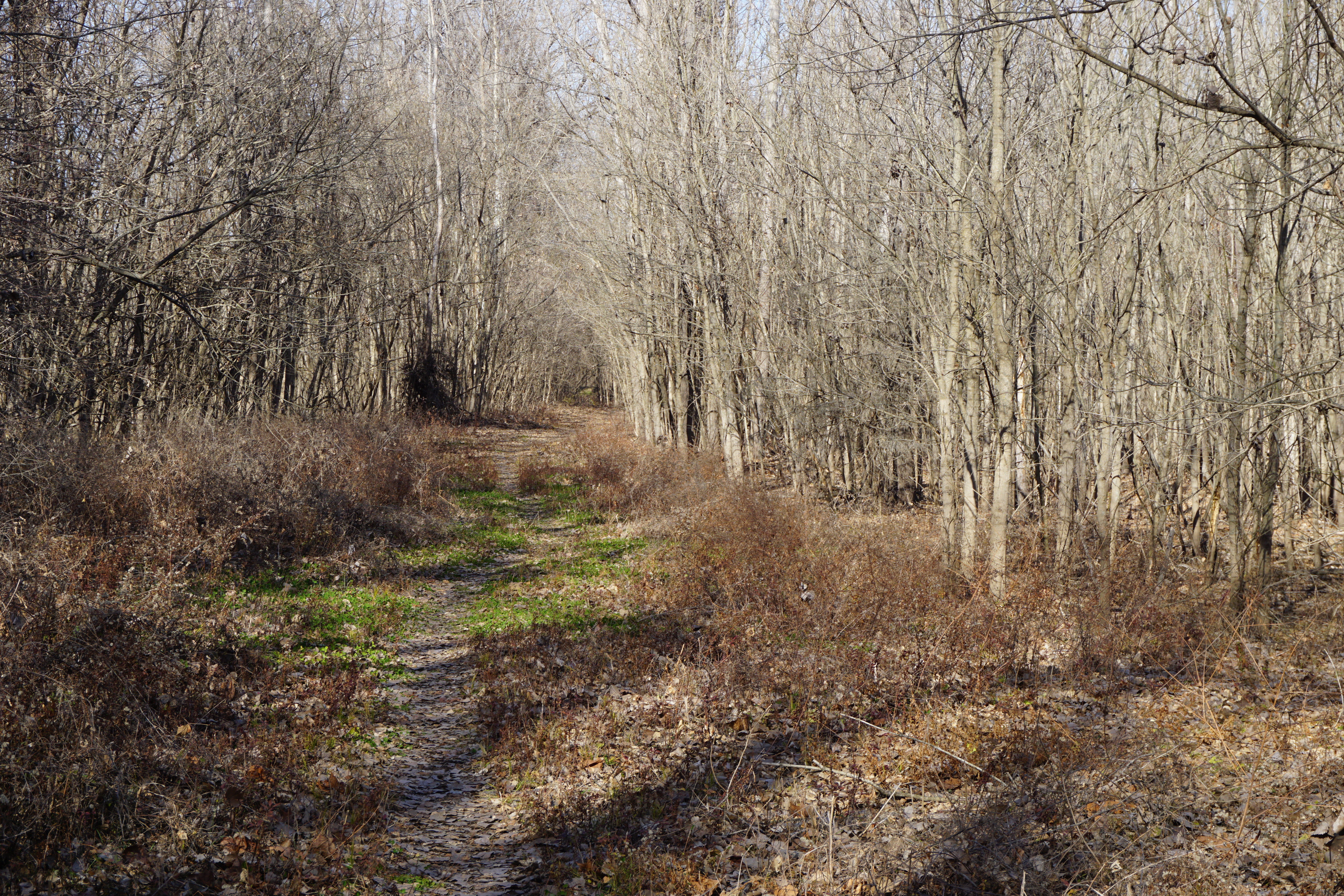
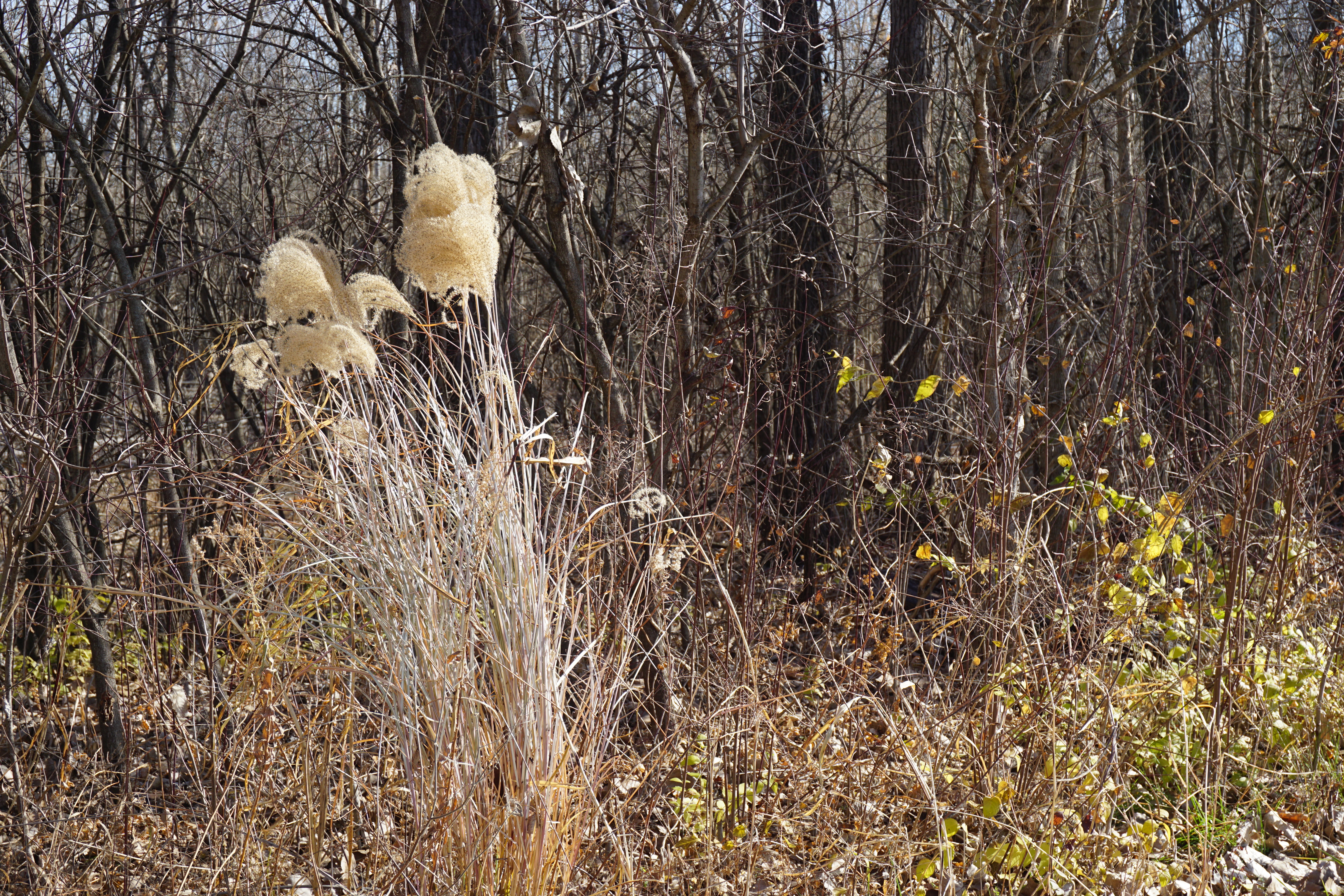
A narrow trail leads quickly into the woods, immediately hushing the roar of the nearby traffic.
It forms a loop through the bottom land thickets, then along an inlet stream
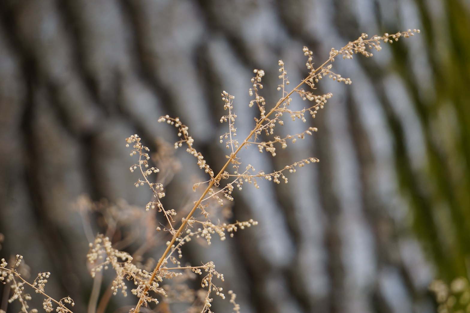
Splashes of wintery colors highlight the stark bare trees,
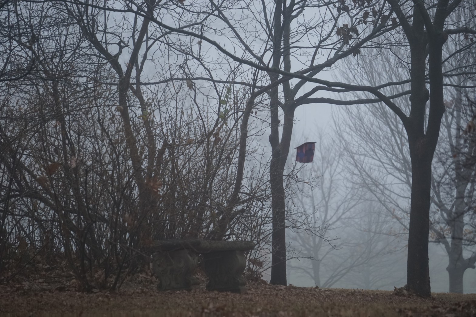
inviting a rest on the bench, that overlooks a tiny pond.
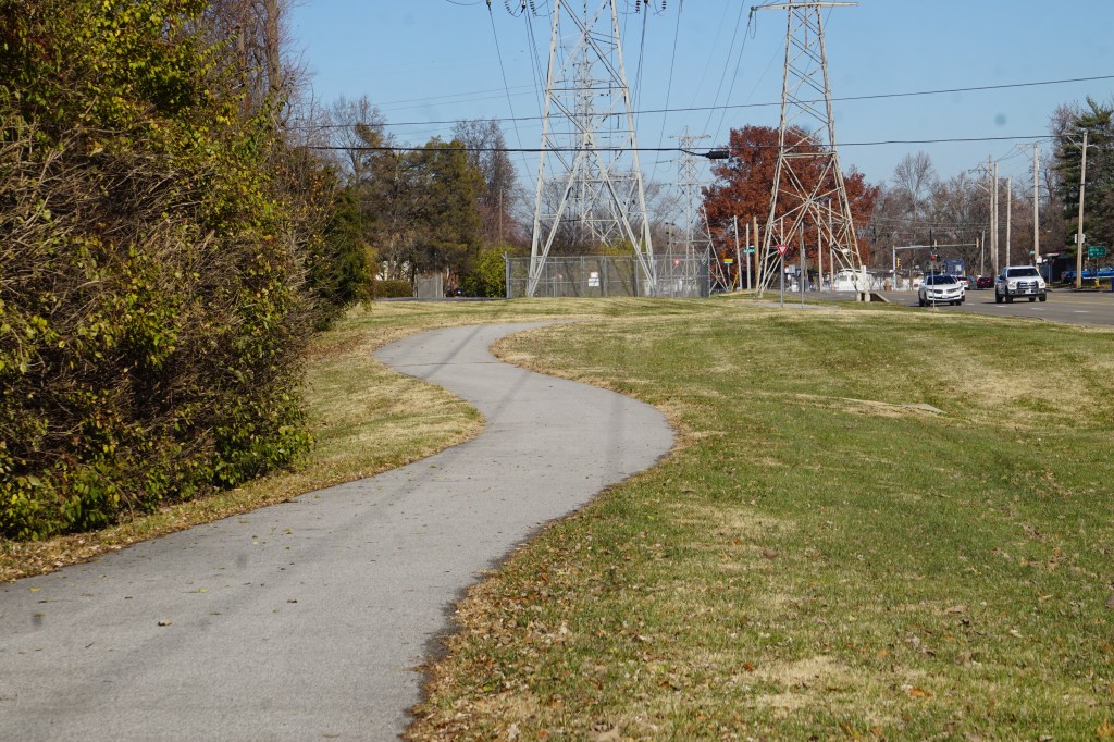
I’ve walked the trail down to the Missouri River from Sunset Park many times. It’s a beautiful, but fairly short walk. I hadn’t realized it was connected to a longer greenway trail through the Old Town Florissant area.
The greenway begins just outside Saint Ferdinand Park, with a pretty bridge over Coldwater Creek.
After a short neighborhood stretch, it crosses to the other side of Patterson Road. The crosswalk initially seems somewhat scary, but it’s not really too complicated. It’s well designed, with clear pedestrian signals for both crossings.
Four lane Patterson Road is loud and busy, and the trail is nicely distant from all the activity.
The trail then turns to follow Humes Road after a short distance. It’s a far quieter residential area, lined by houses and two schools.
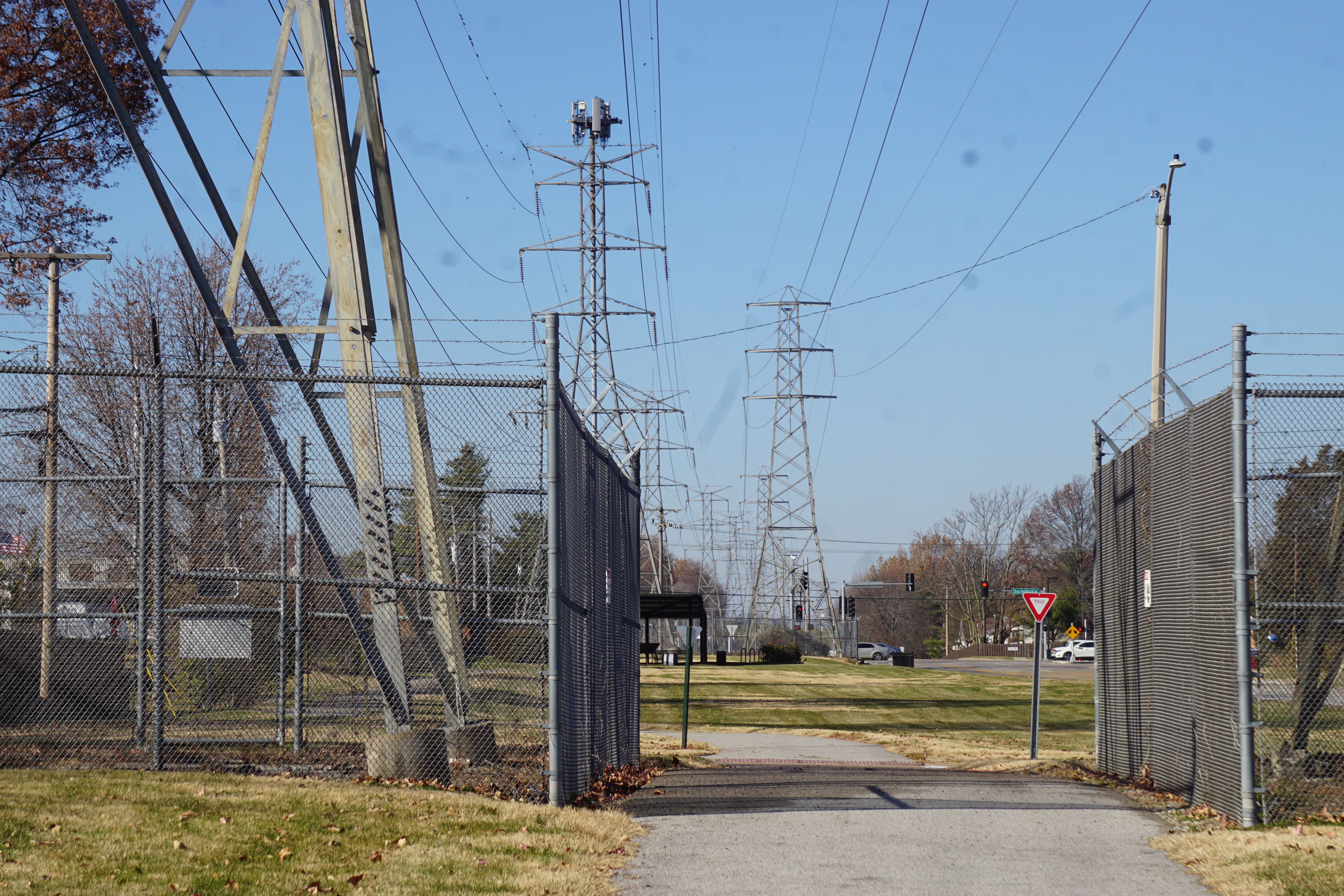
So far, this section seems far better for biking than walking. The periodic electrical towers would worry me if I were walking with small children, but it would be a nice wide family bike route.
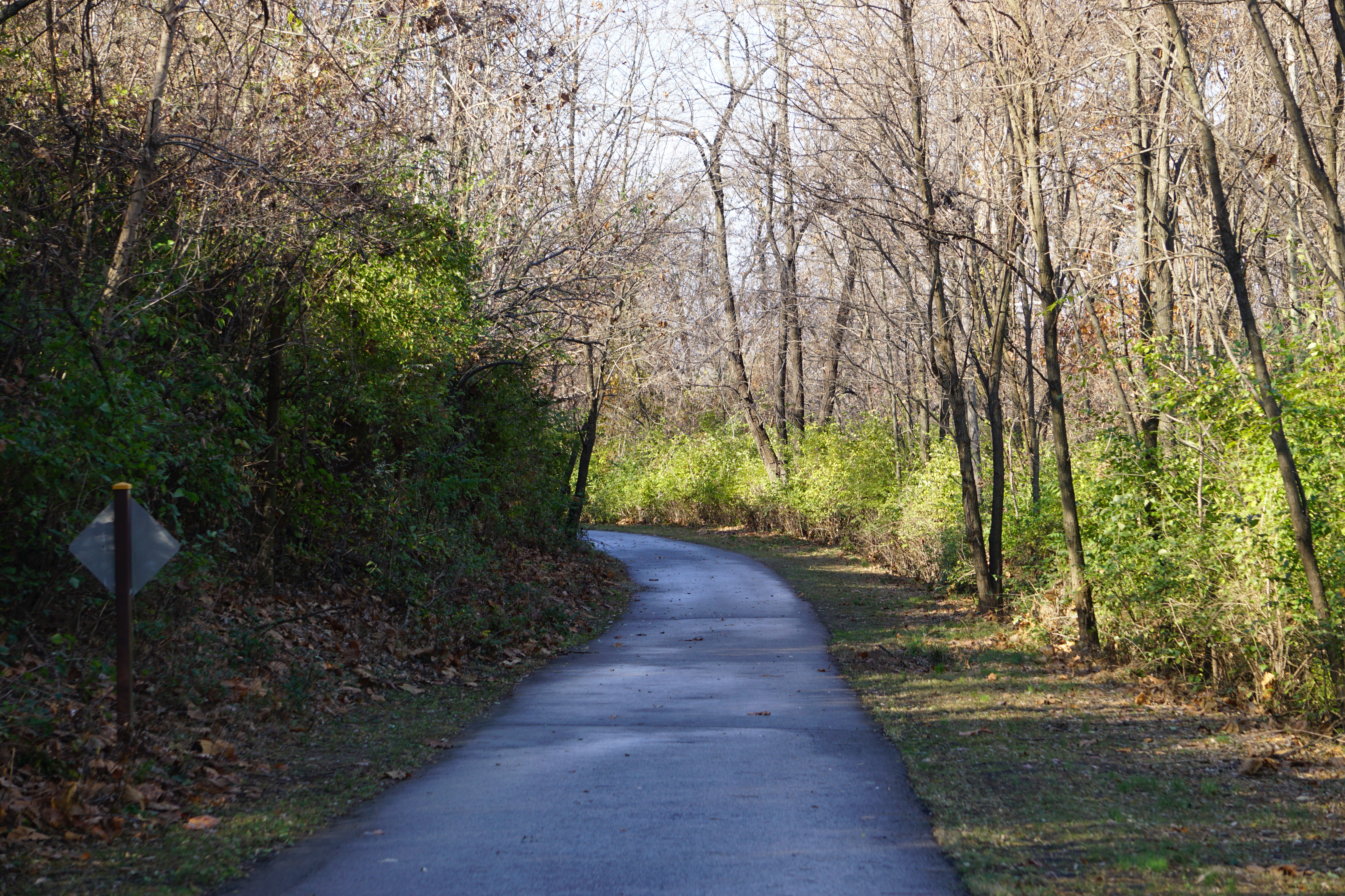
Crossing into Sunset Park, the traffic and city sounds drop away.
The treetops are nearly bare now, although the underbrush is still surprisingly green.
The shaded path feels pleasantly cool. My jacket has been long since cinched around my waist in the unseasonably warm December sunshine.
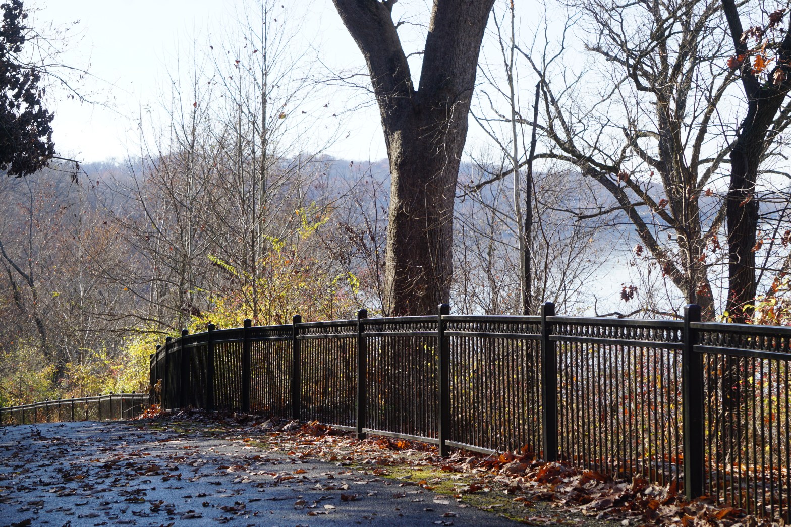
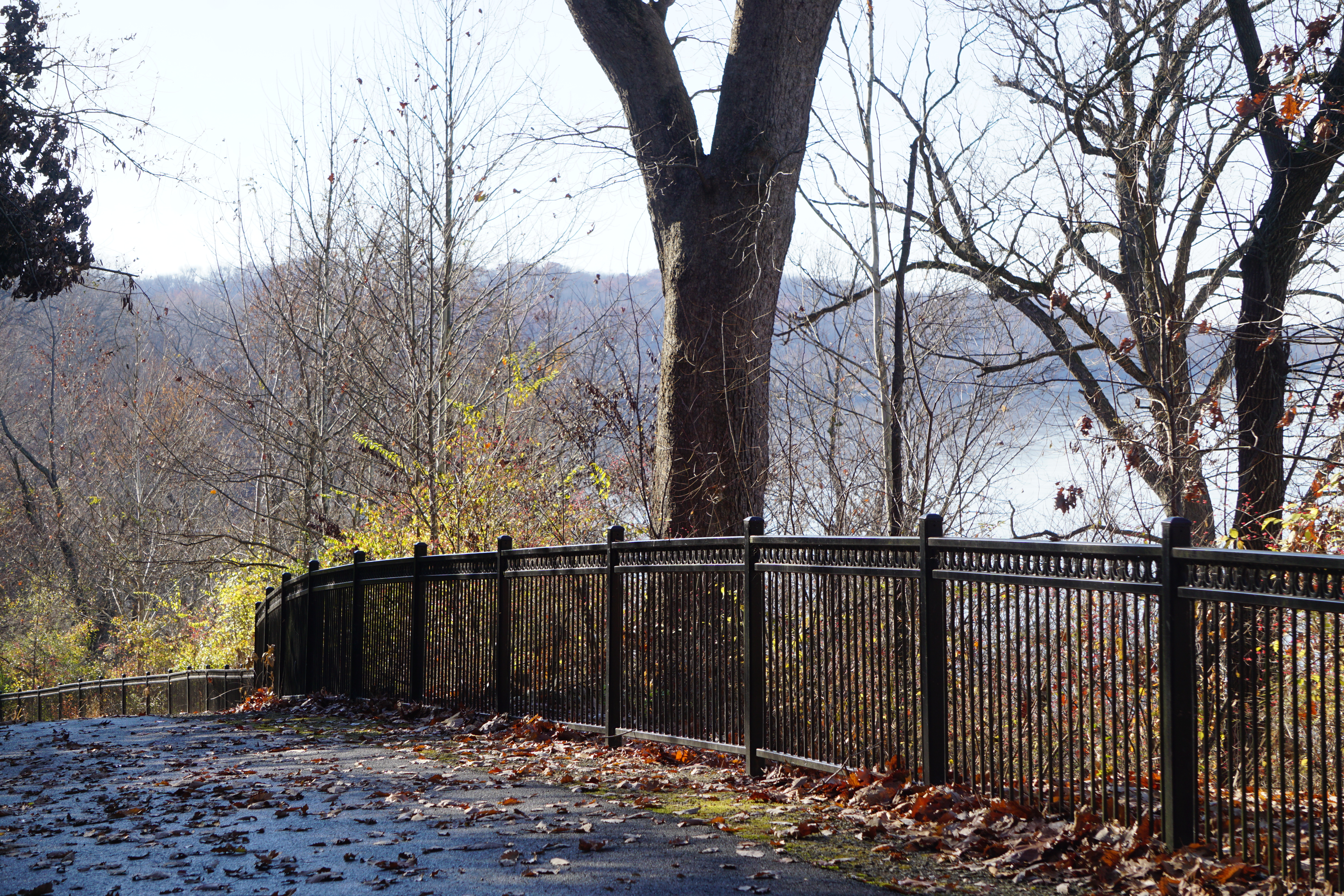
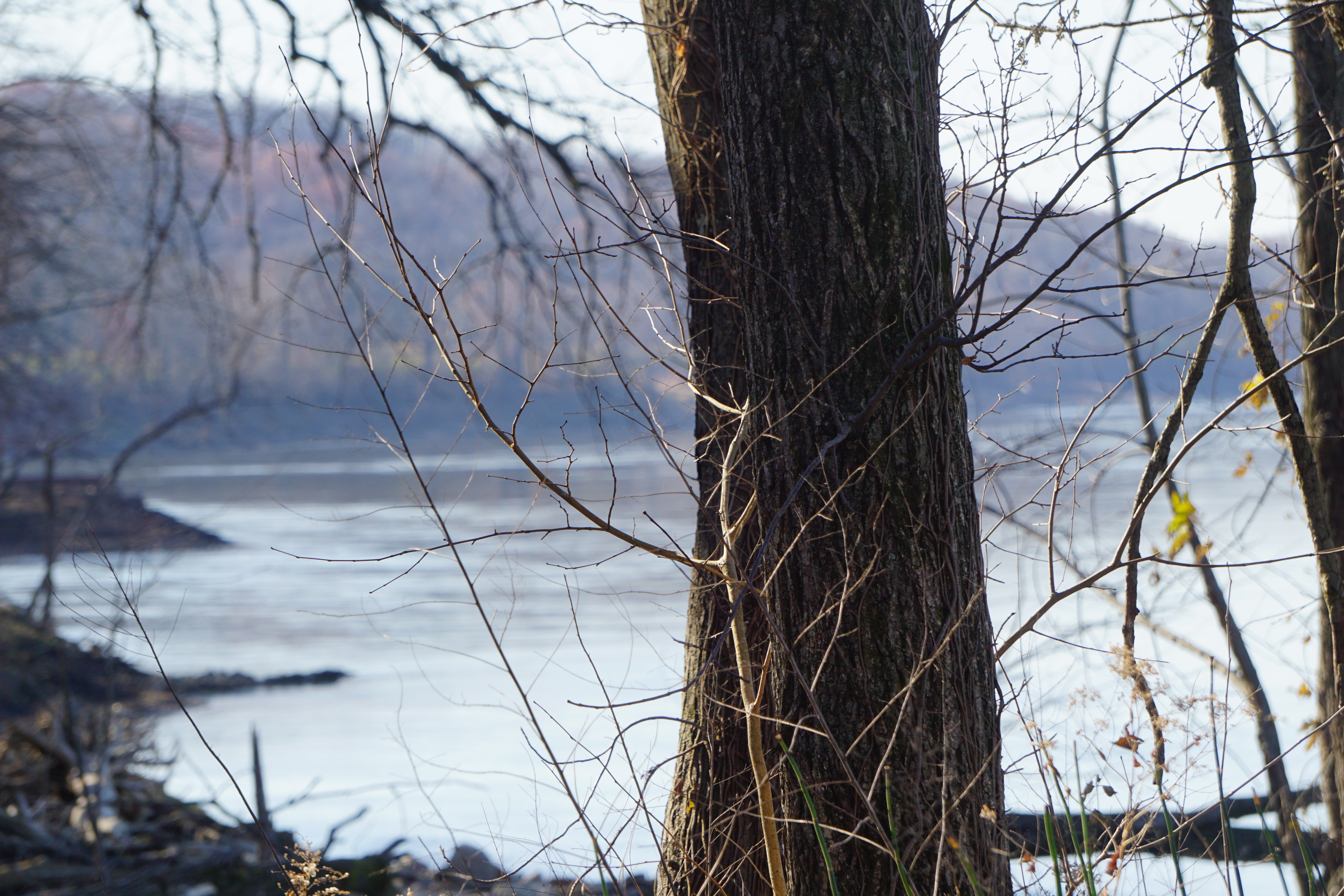
The trail switchbacks down to the river at a faily easy grade with beautiful views.
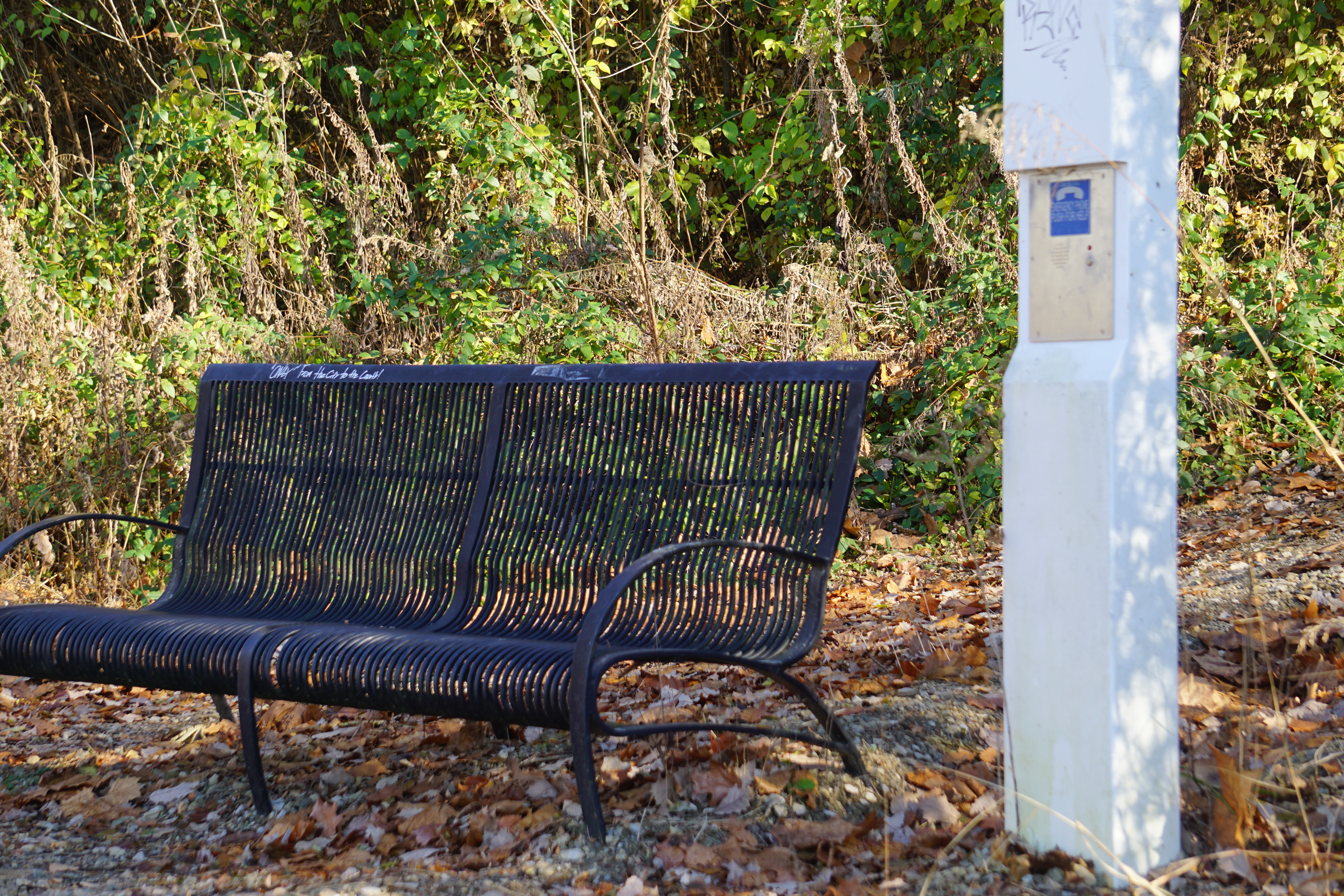
An overlook bench and emergency phone provide a rest stop and rescue point, if it turns out to be too much.
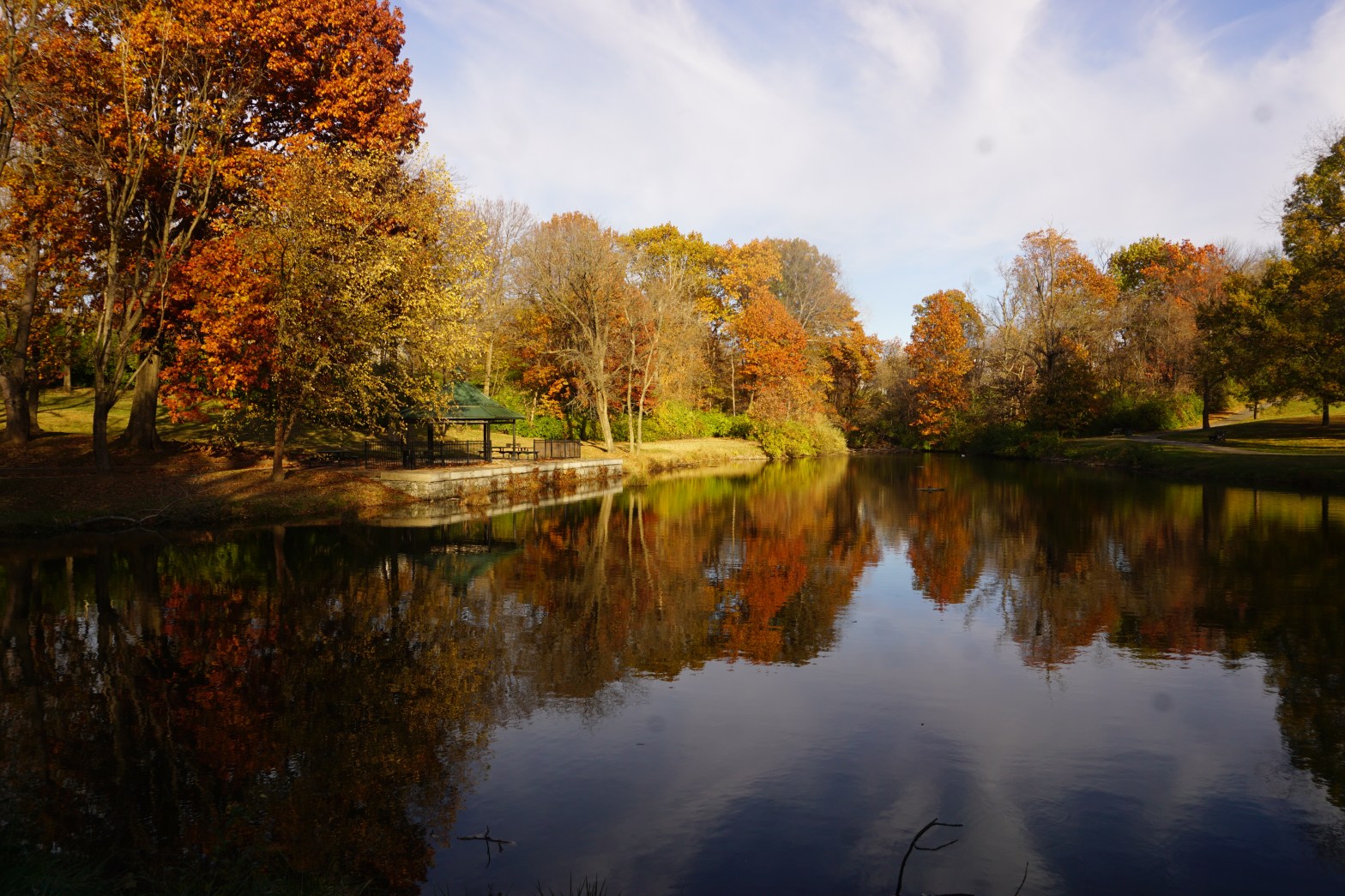
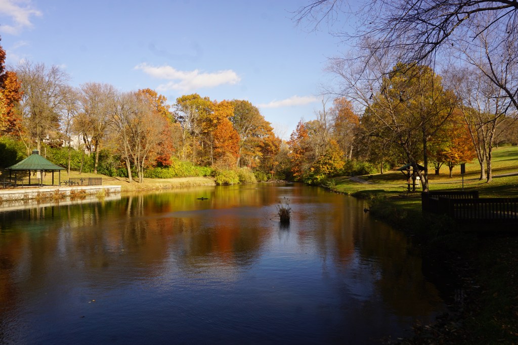
There’s a brief extension along the river banks as the trail levels out,
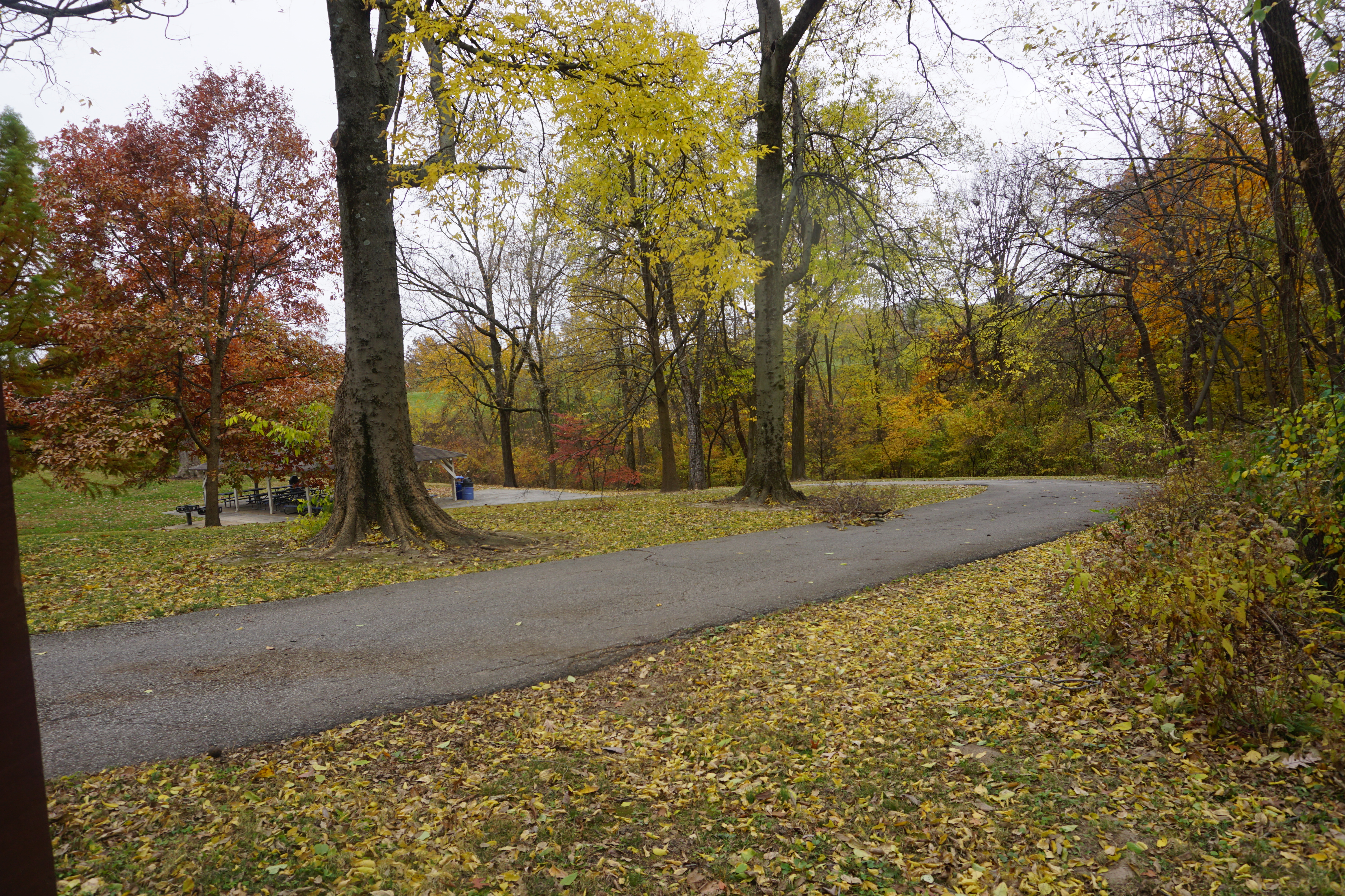
and a beautiful mini park to enjoy, before journeying back up the hill.
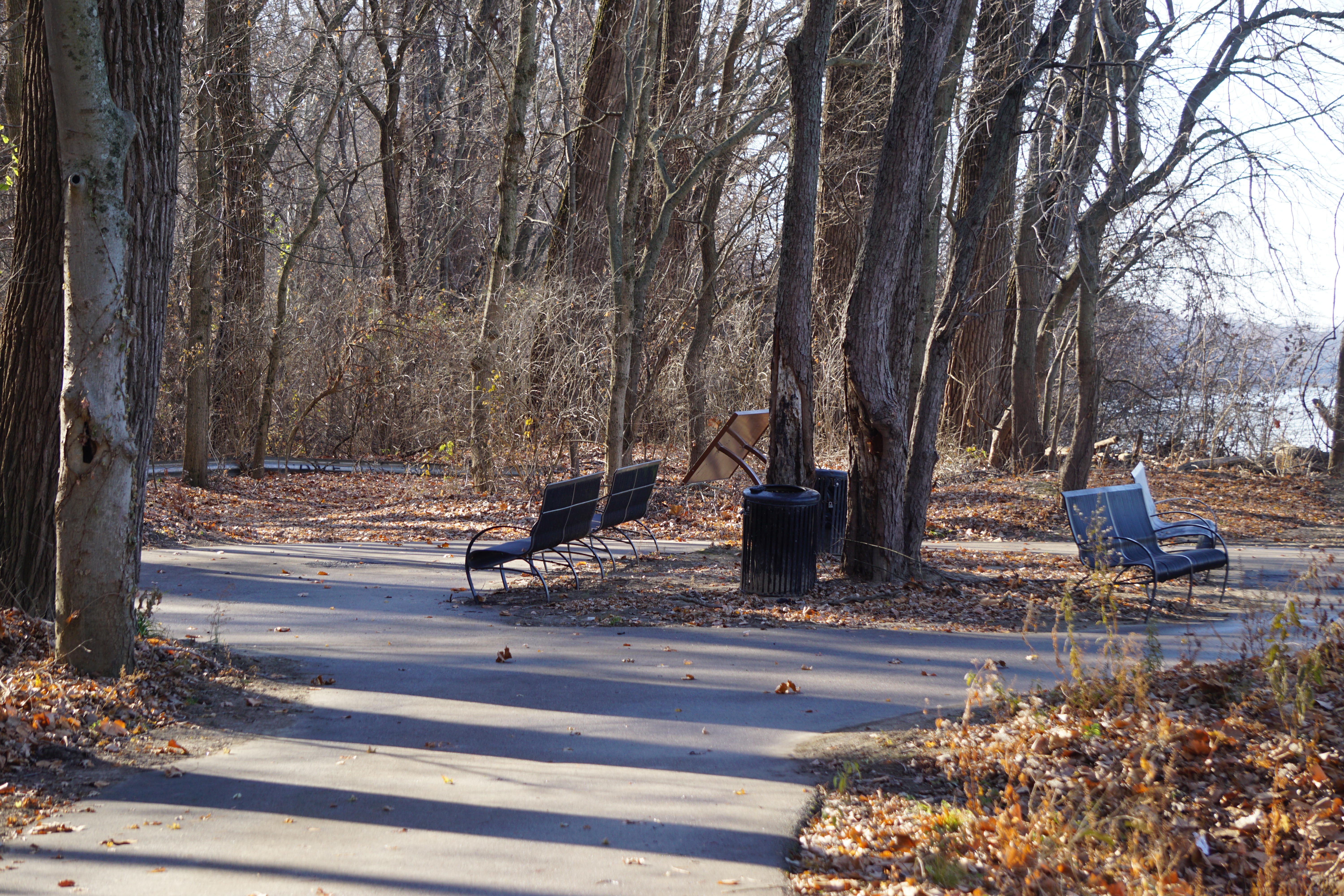
It’s almost silent on this end of the trail. A distant industrial hum only barely detracts from the peace of the woods and the river until I reach the top of the hill.
I don’t know that I would do the whole trail as a walk again. The Old Town section is definitely more suited to biking, but Sunset Park is one of my favorite rambles any time of the year.
My fingers are frozen, but I’m wrapped in jacket and scarf and knitted cap and otherwise pretty comfortable.
I’ve “planned” for years to visit Tilles Park during the annual light show. I’ve never planned early enough though. On drive through nights, drivers can just line up and pay at the gate, but carriage rides and walk through nights take reservations that are extremely popular and rapidly sold out.
This year, I discovered a photography night, sponsored by Schiller’s Camera.
For a reasonable class registration, the park is open exclusively for the purpose of wandering through with cameras and tripods and lenses.
Soft holiday music piped in, lends to the quiet peace of the night without overshadowing it.
There are a lot of people, and a lot of tripods. After the initial congestion just outside the parking lot though, it’s easy to spread out and enjoy the displays.
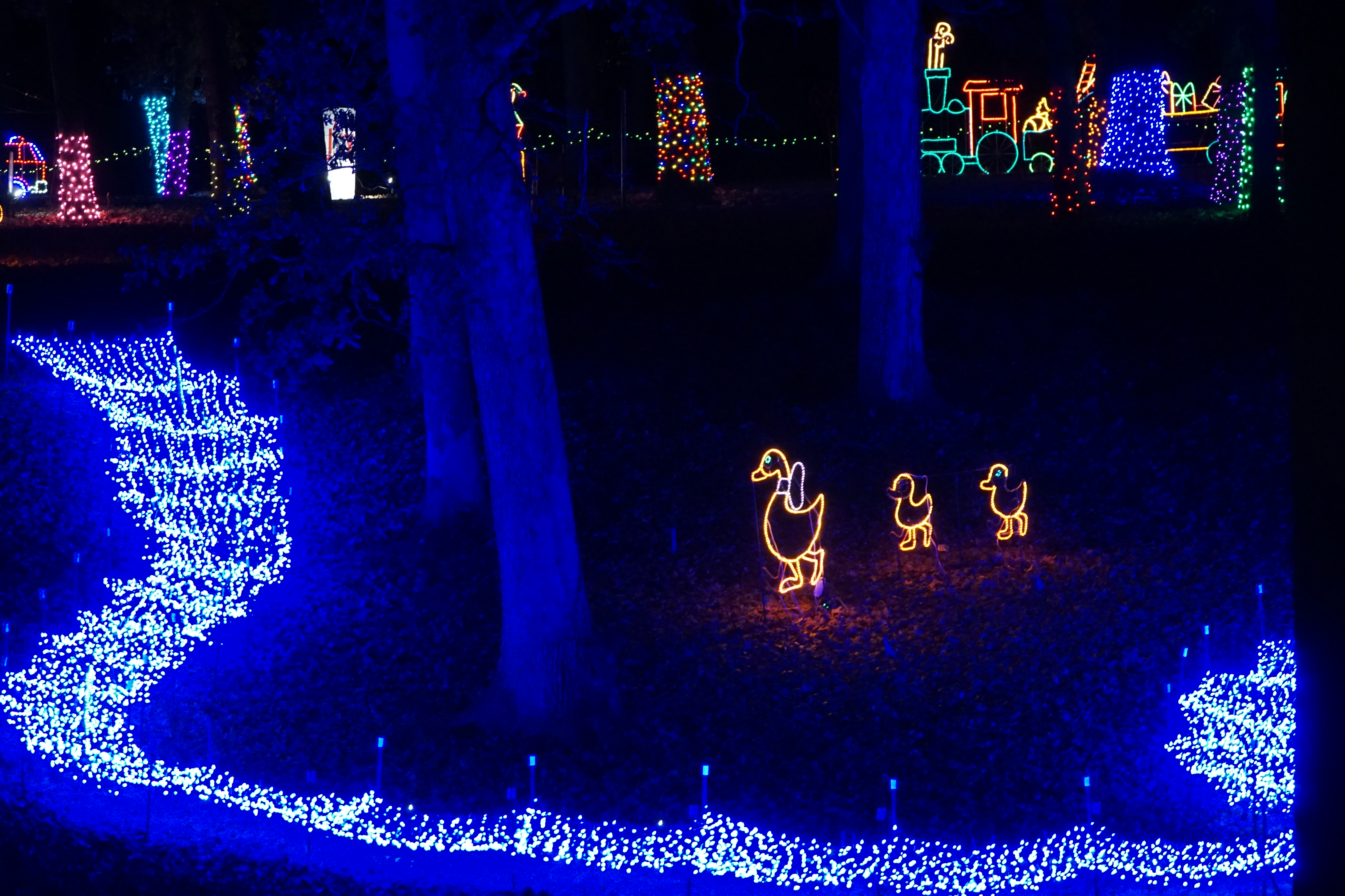
A river of lights winds through the center of the park,
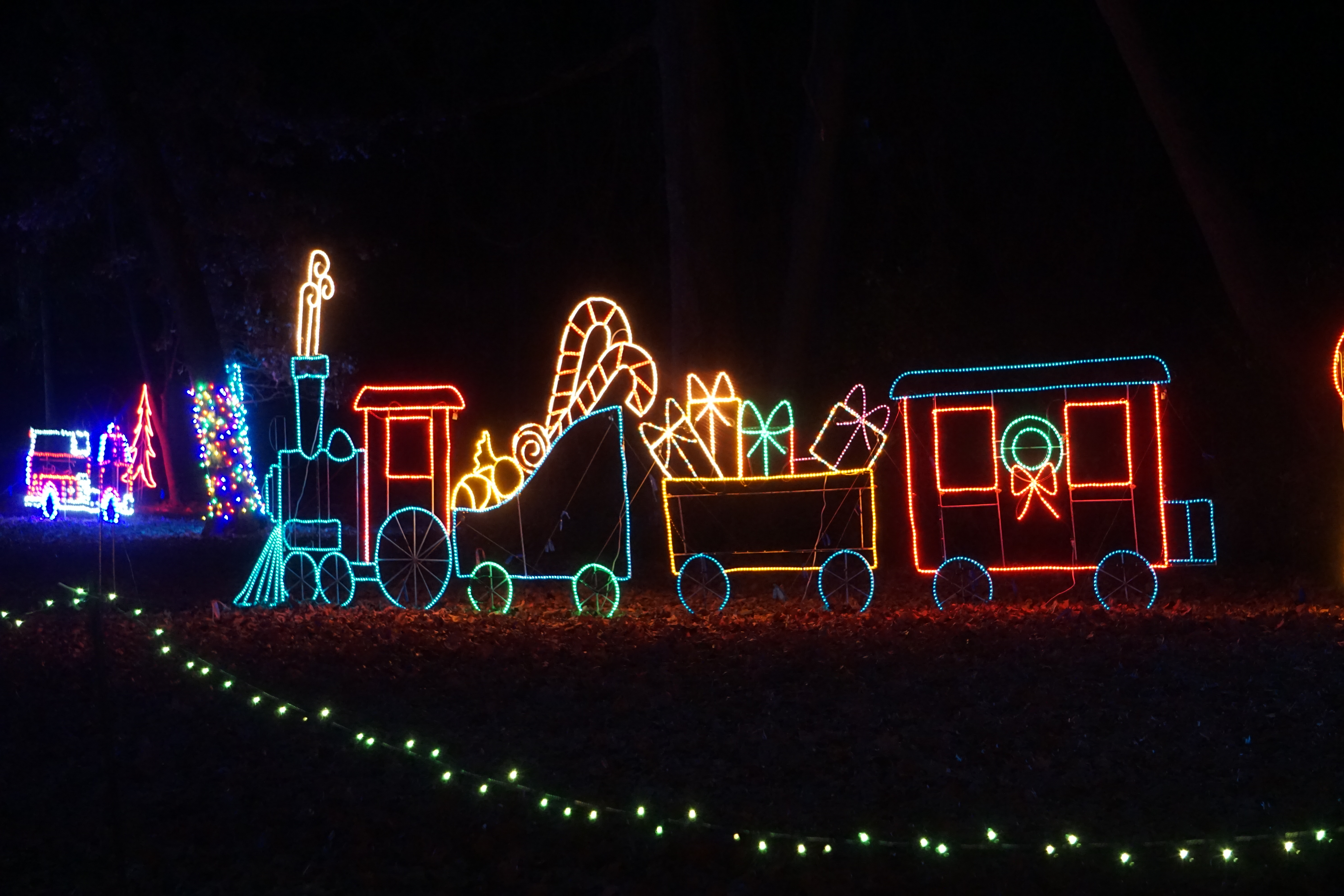
while around the edges, Santa’s workshop is building
and wrapping and packing to beat the supply chain woes.
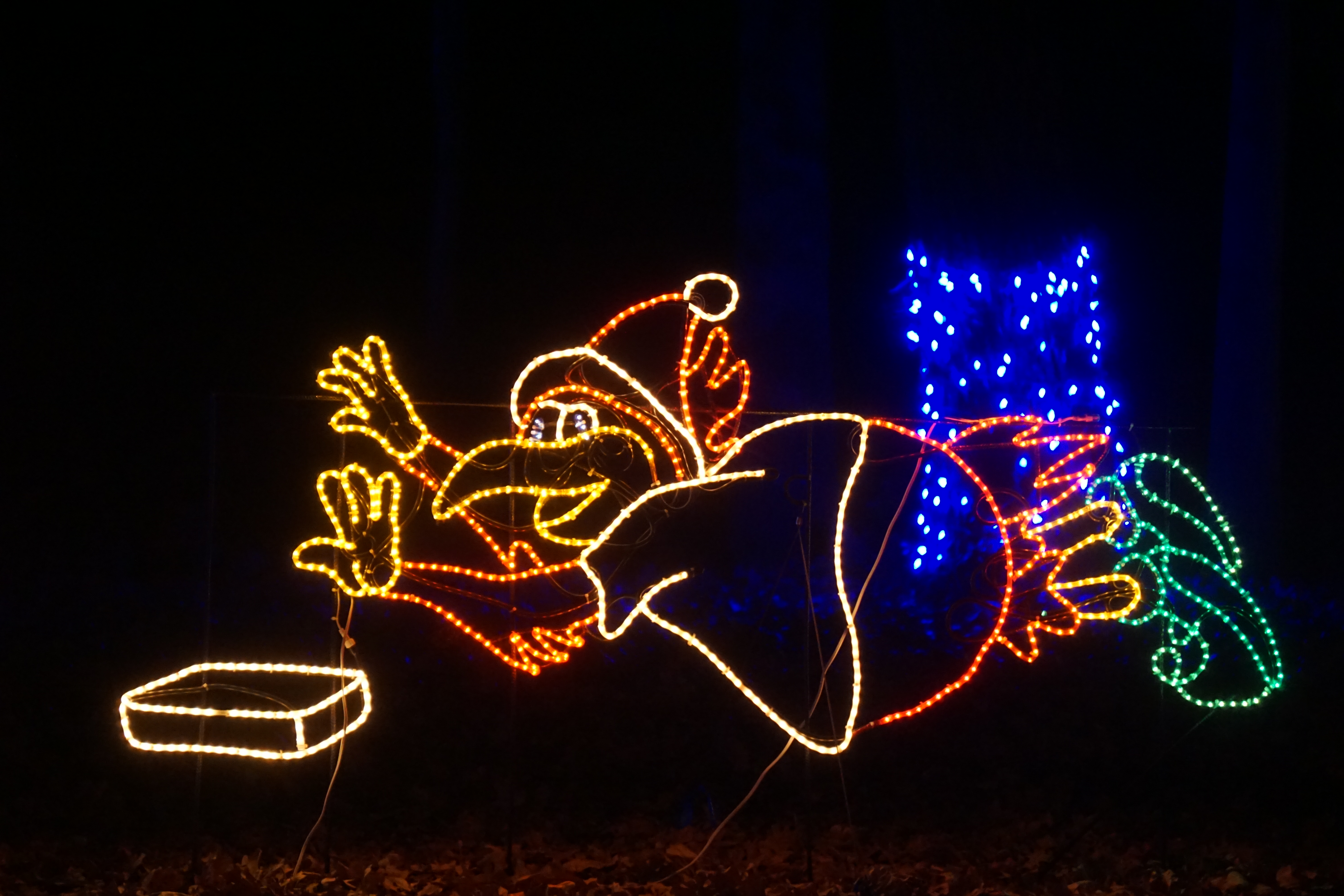
Of course, no St Louis event could ever be complete without the Cardinals…
This turned out to be a lot shorter than I expected. I was looking for a walk of an hour or so, in an area I hadn’t explored before, while waiting for my grocery order.
I misread my Missouri Outdoors app to say that this trail was about 4 miles long, instead of 4 miles from my current location. Actually, it’s only about half a mile in length.
It starts as a wide mowed trail gently sloping up a hill. There are pretty views of the valley overlooking Olive road, but lots of traffic noise too.
Near the top of the hill, the trail abruptly narrows and leads into the woods. It then begins a series of switchbacks, wandering its way around the ridge, then down and back up the other side.
The traffic noise is abruptly silenced over the crest.
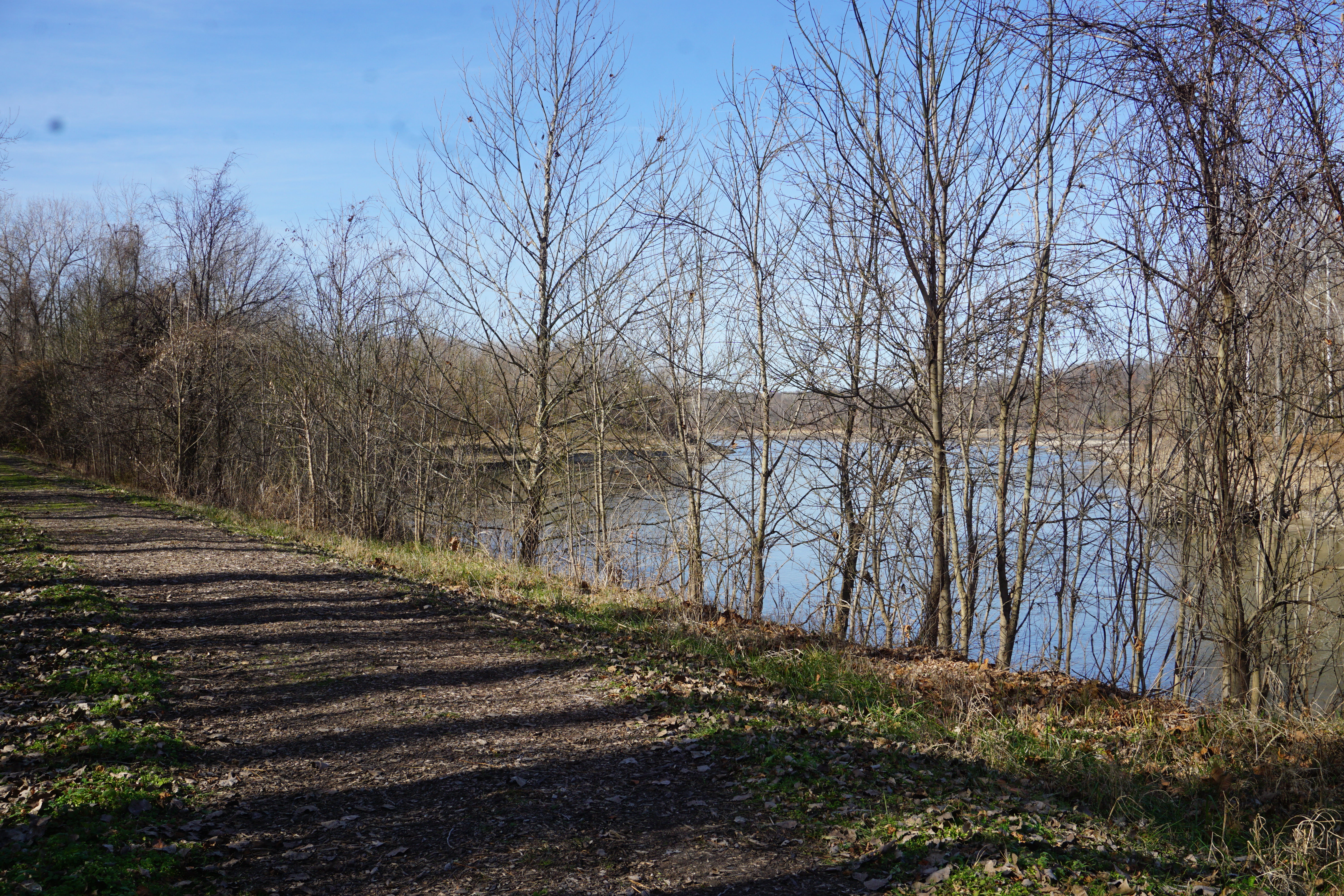
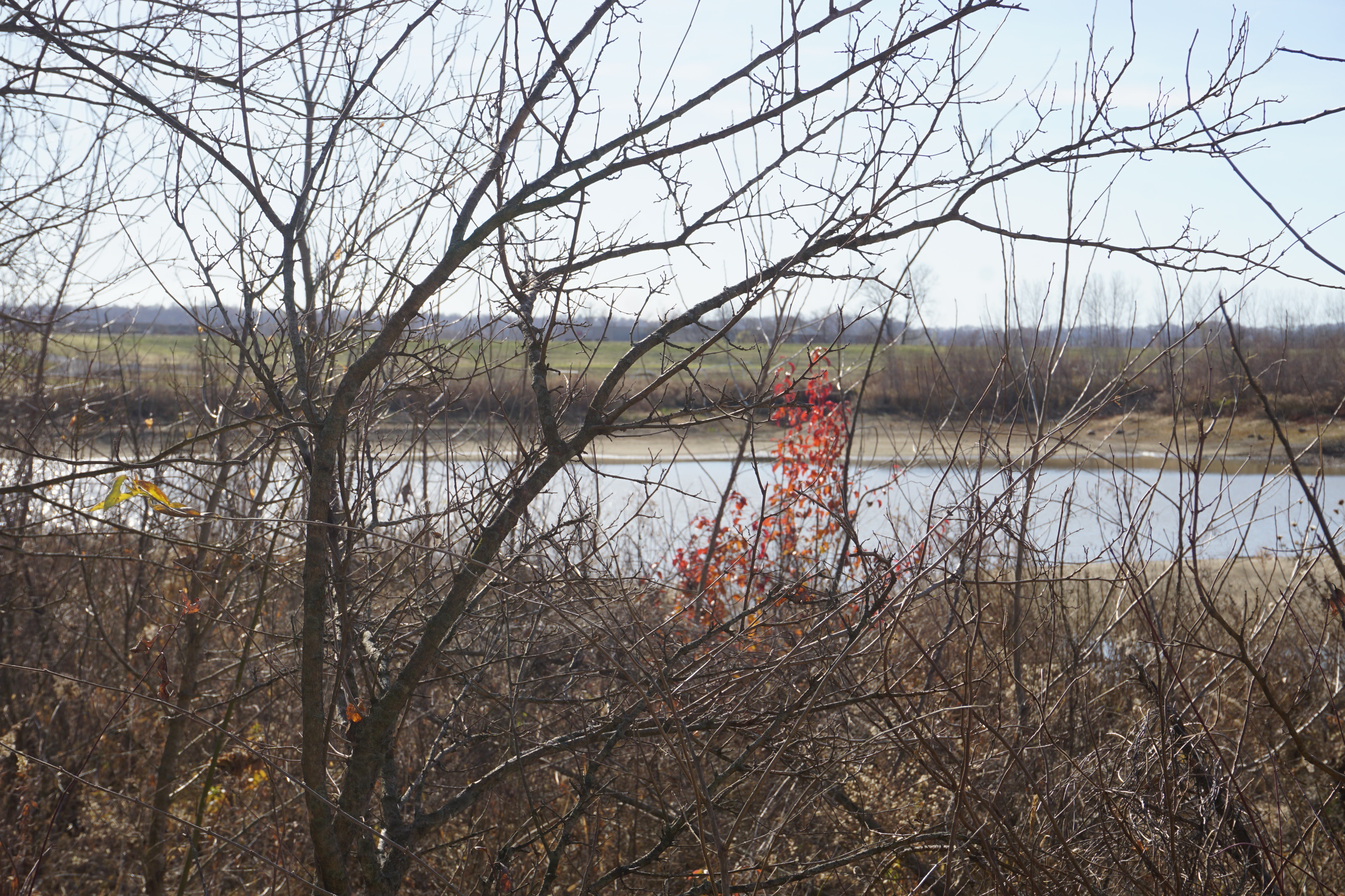
The Missouri River occassionally peeks through in the distance, flowing just beyond the water plant basins in the valley.
Even covered in leaves, the trail is clear, well used, and easy to follow. I briefly pass several other ramblers, but it’s not at all crowded.
The hillside trail loops back to the original wide path, back down to the tiny parking lot.
Even though it’s a short walk; it’s a beautiful, peaceful one, and well worth an afternoon visit.
I’ve hiked parts of this trail before. The section off of Charbonier Road connects to Truman Park which I posted about the other day.
I’d never found the famous Charbonier Bluff overlook though, or the ruins of the old seminary retreat.
I used an AllTrails map to help me figure out the interconnecting trails, and I’m glad I did. There were several sections overgrown or deep in fallen leaves, and I would have had to give up several times without it. Although the app was compelled to remind me constantly that I had very poor service, it did just fine in showing my location on the map.
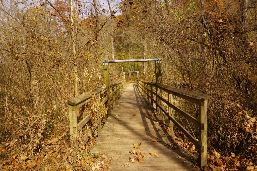
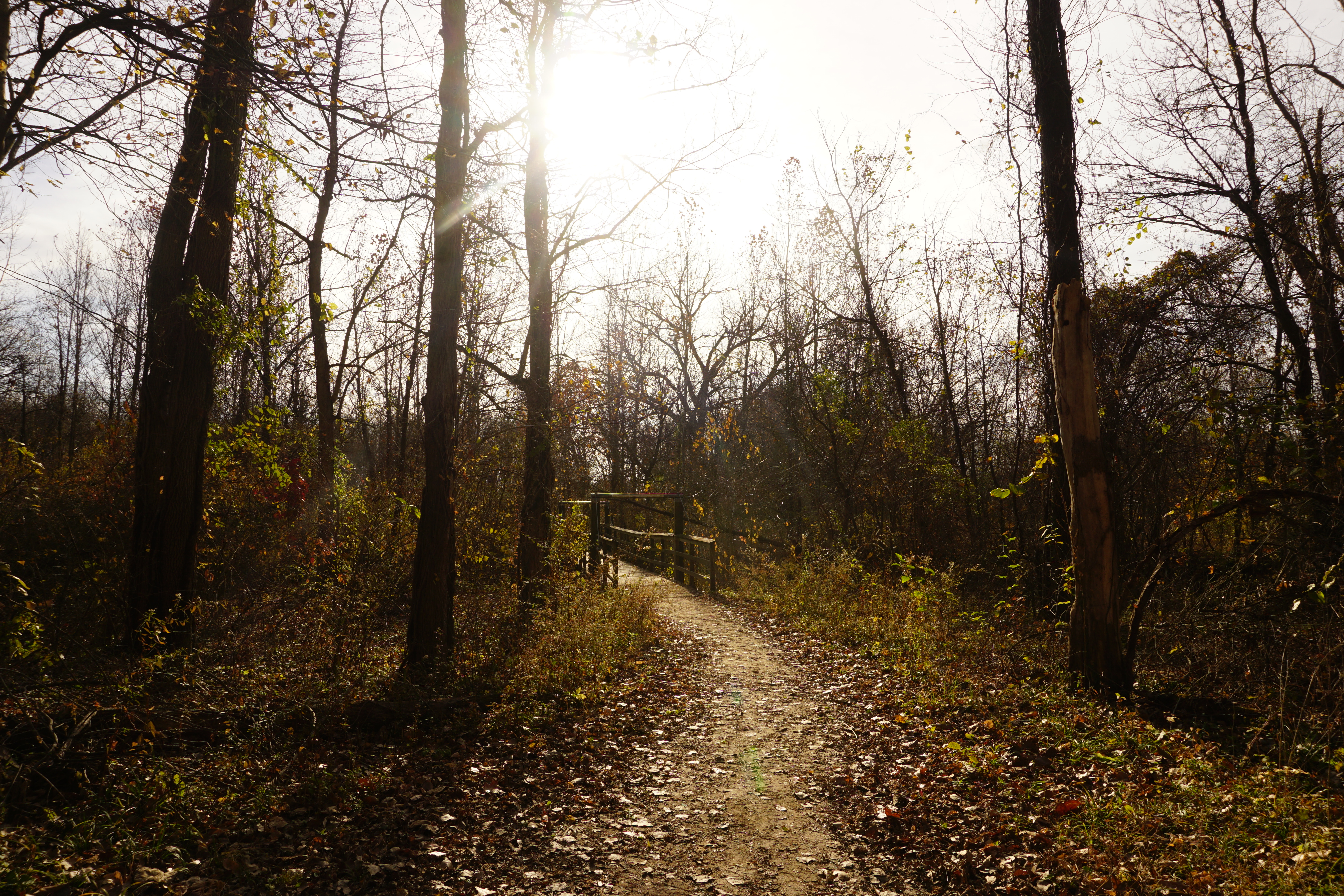
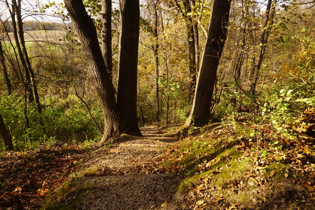
A short loop trail branches off just past the parking lot at the Aubuchon trailhead, but the main trail continues over the bridge.
Two clear trails lead off in either direction, but this little arrow points straight up instead. On the map, it’s just a little dotted line, not the solid red of the official trails. It’s pointing the direction I want to go though, so I decided to give it a try.
It was steep, but managable, and a pretty quick climb of about a tenth of a mile if the map is accurate. I emerged back in the good graces of my app on the established trail, at the top of the bluff and a beautiful overlook.
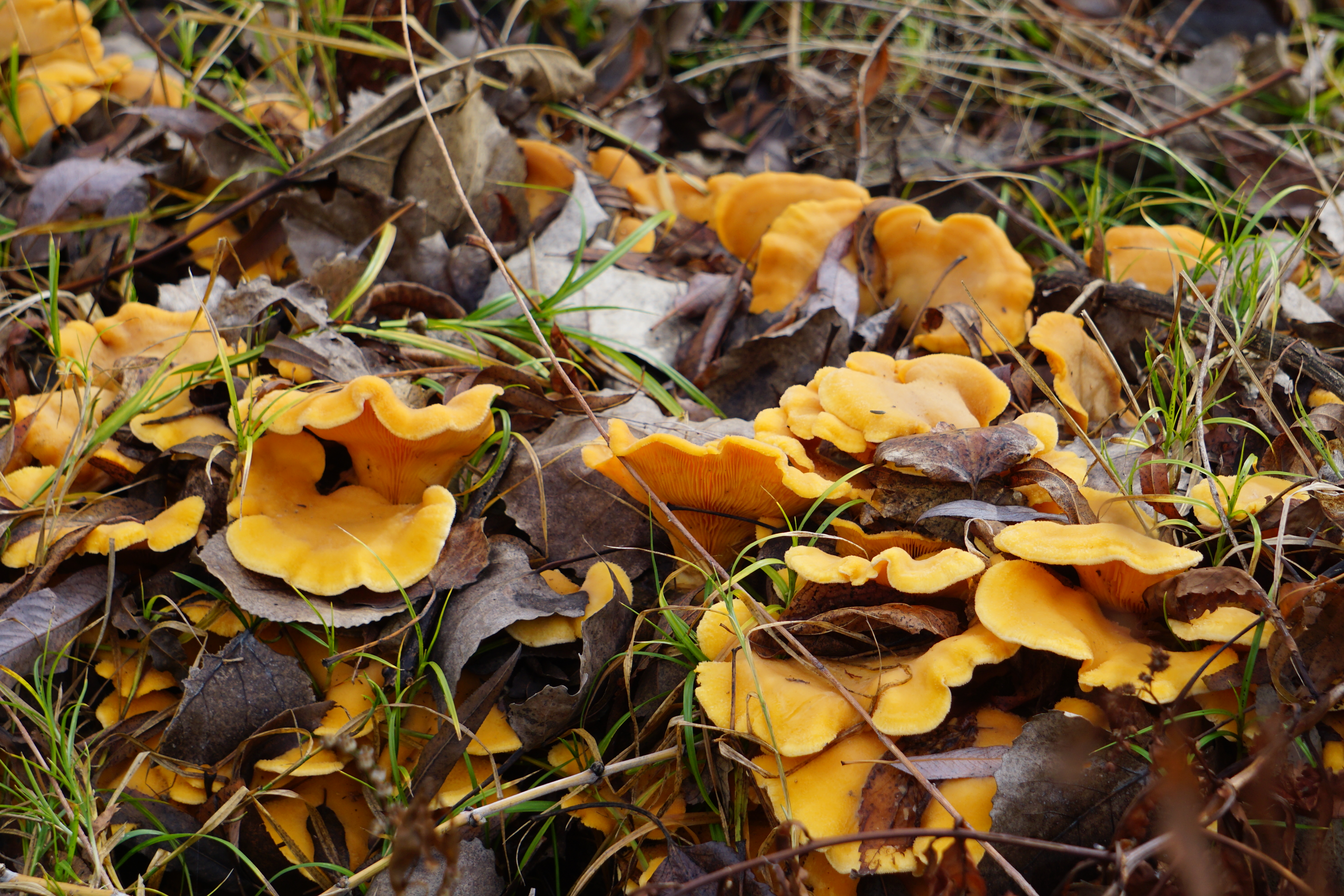
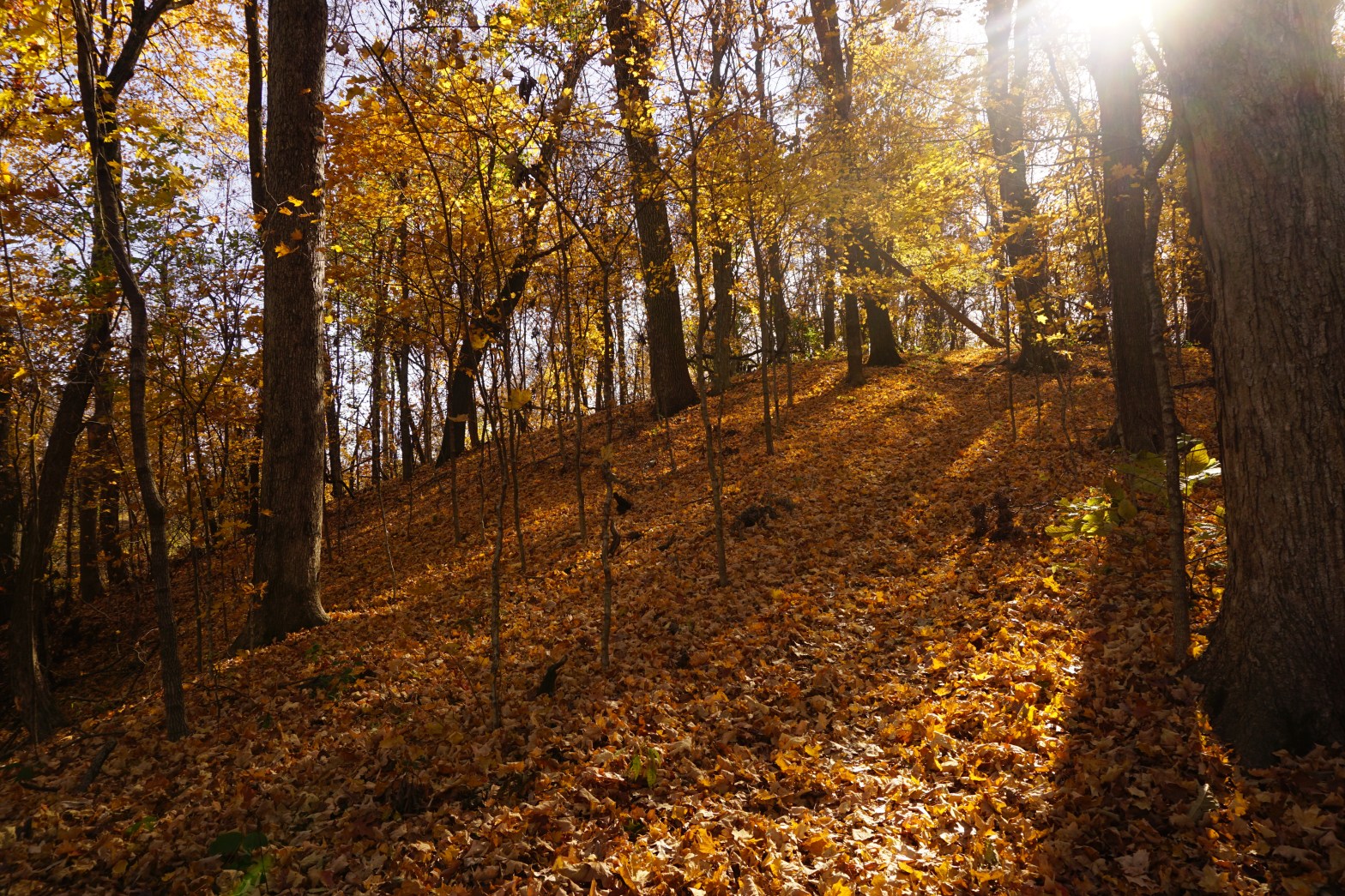
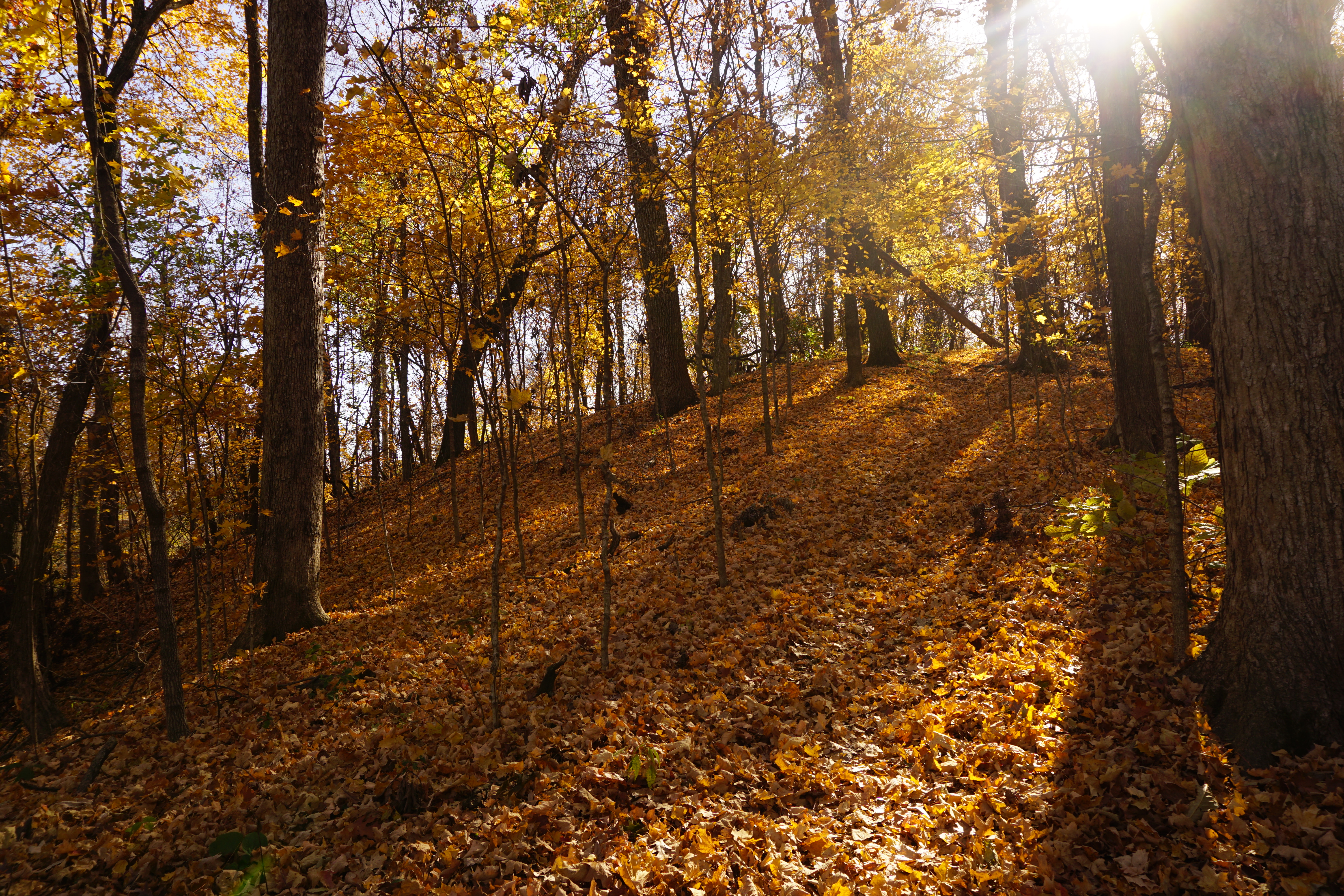
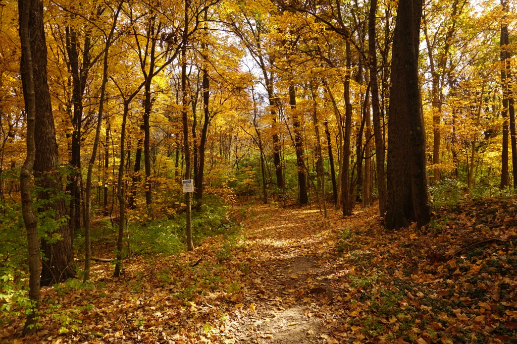
The trees along the river bottoms seem mostly bare, but up here on the ridge they’re still dense with golden glow.
The trail is thick with crunching leaves. It’s busy today, with hikers and dogs rustling through enjoying the sun and the springlike warmth.
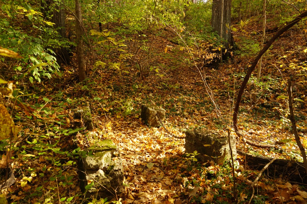
With help from a passing couple, I found some of the old seminary ruins; a nearly intact foundation surrounded by tumbled blocks almost buried in the leaves,
and a tiny, ancient looking bridge.
I was glad to have the app as I scrambled down the hill. The trail basically disappeared in a tumble of leaves. I think I would have had to backtrack the way I came without it.
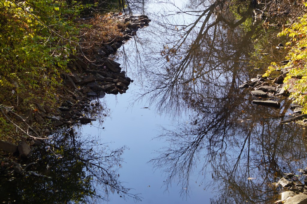
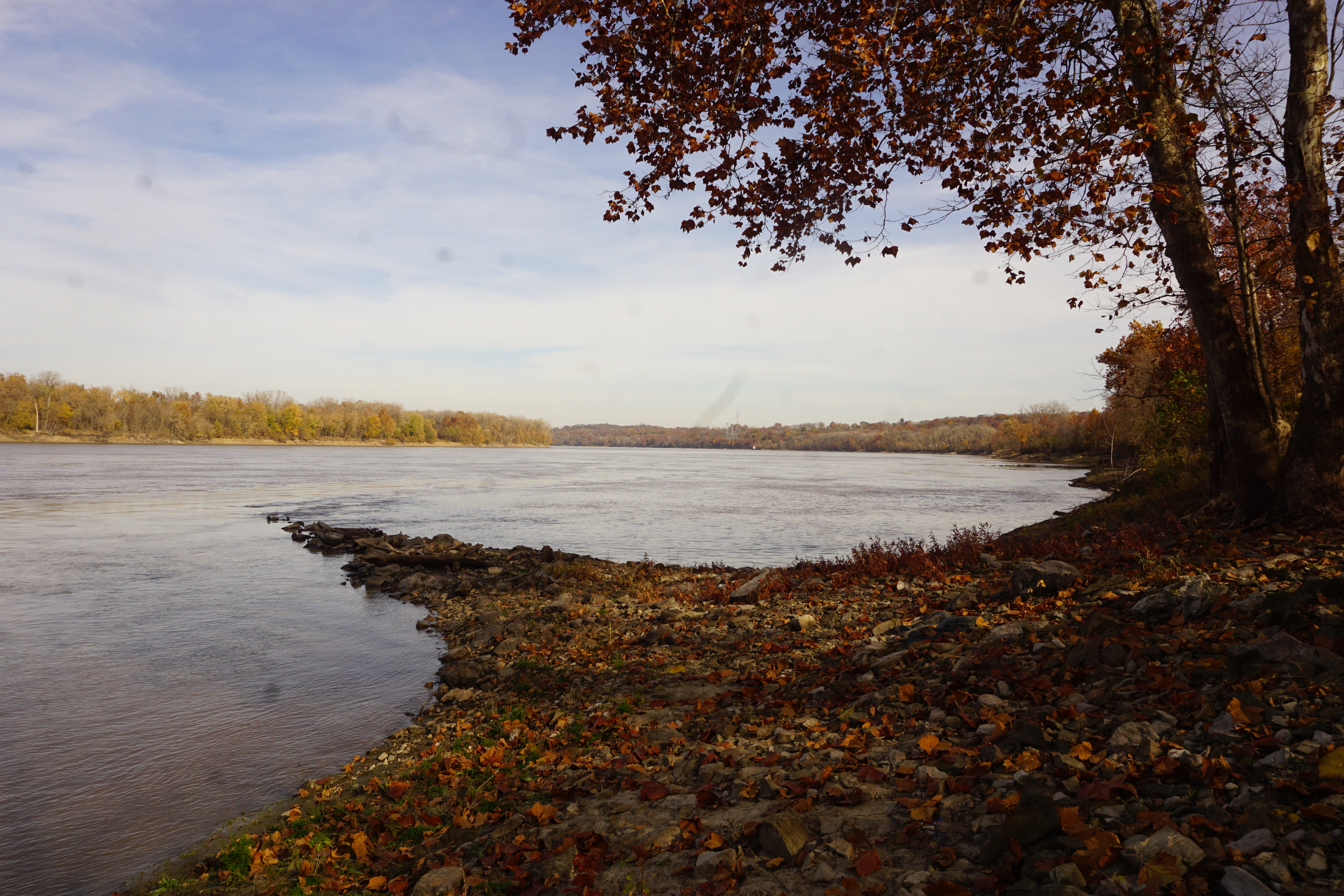
I followed the skimming blue dot down to the river bottoms and out to the eastern end of the trail, where it meets the Missouri River. It’s almost silent here. Traffic is just a distant hum as the water laps against the stones.
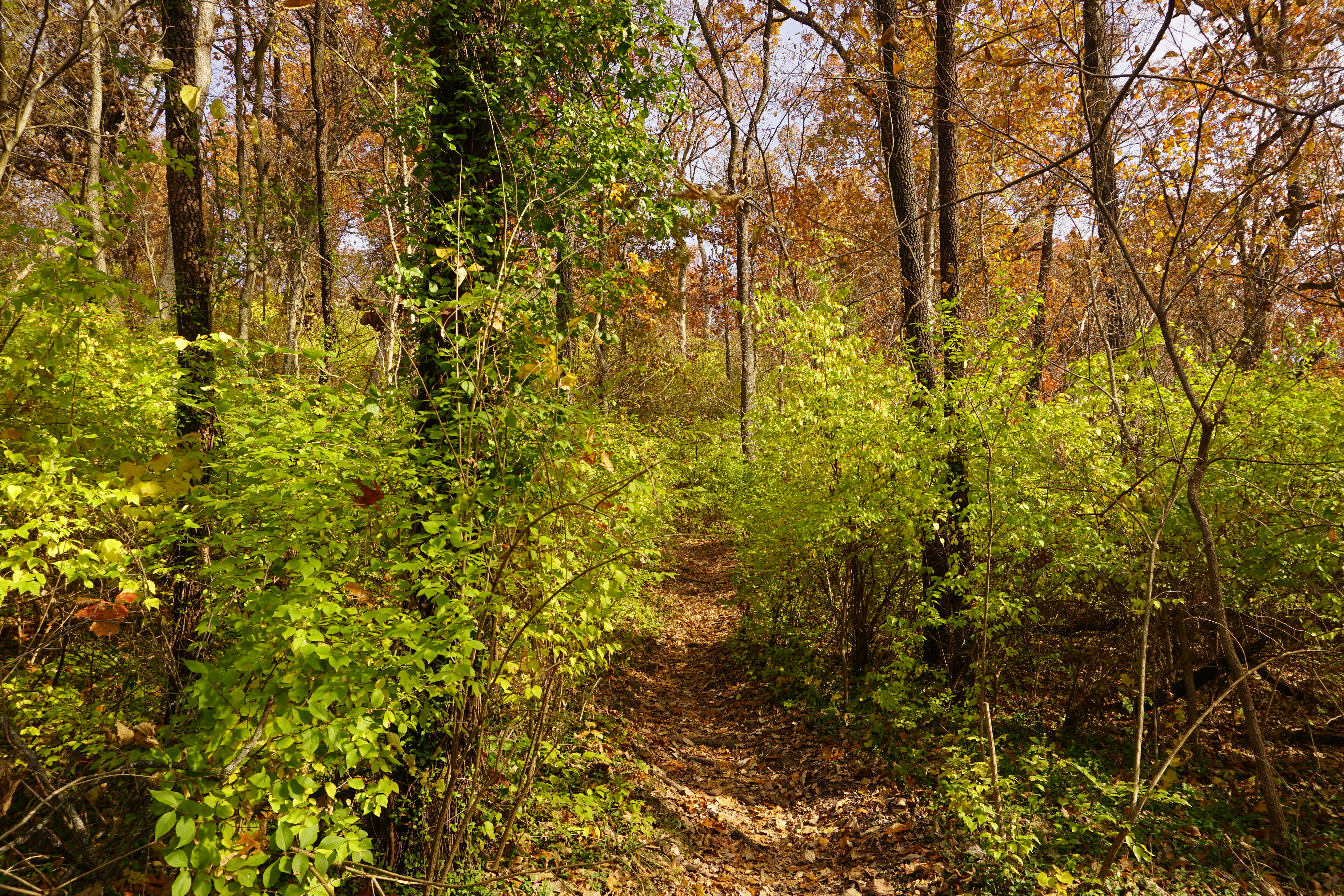
Heading back along the outer route, the trail is narrow and knobby with roots. It edges along the winding banks of Cowmire creek, making it easy to follow even when it temporarily disolves into the bottoms.
The circuit completes back at the bridge, with other beautiful trails ready to explore in the opposite direction.
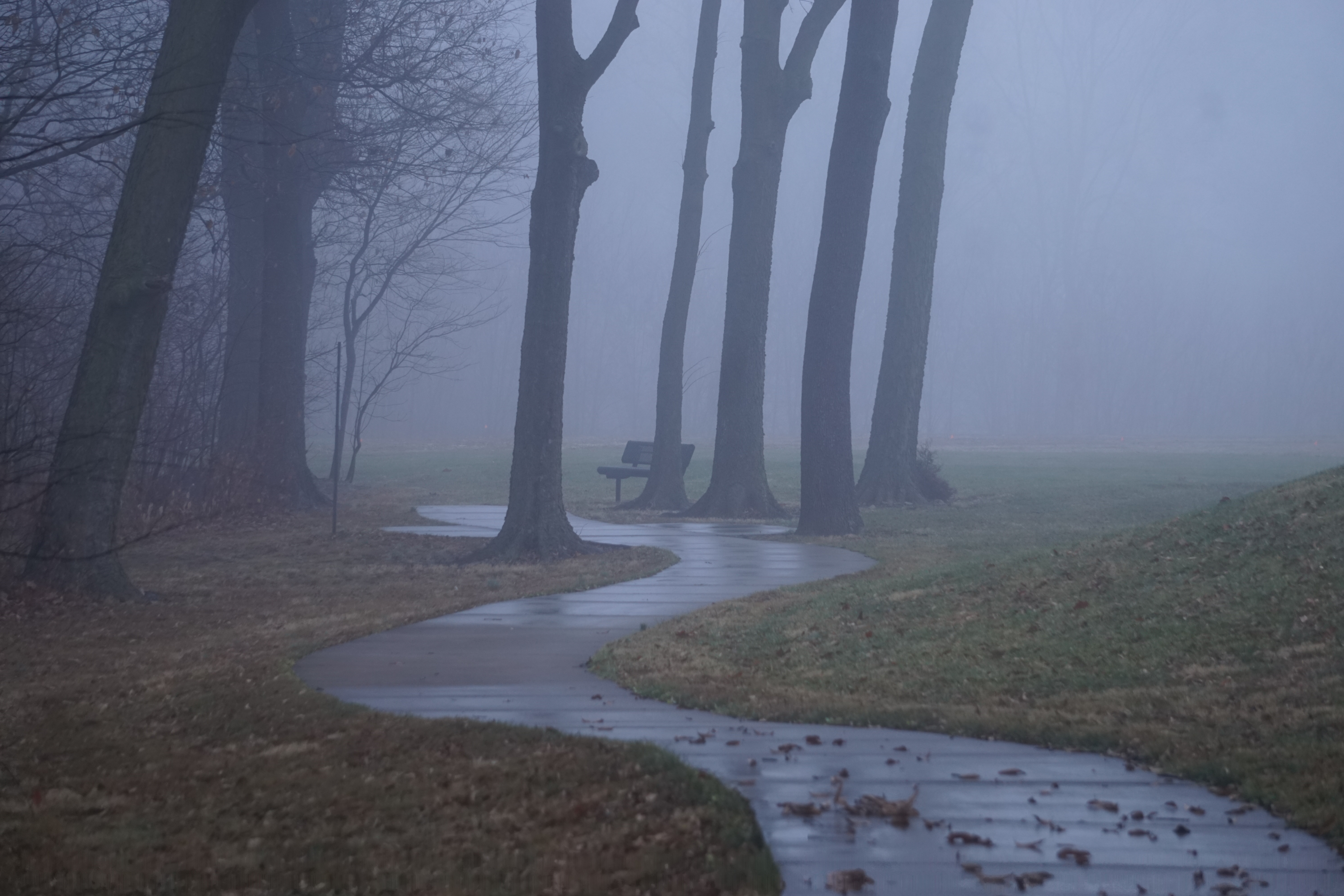
It’s a sunny afternoon, but the breeze is brisk and cold. Bundled up in jacket and gloves and hat, I’m a little unsure if it might be time to break out the winter coat.
A woman sits wrapped in a blanket on the fading grass and a couple passes me as I start up the trail, but the park is otherwise deserted.
The short paved trail curves up from the edge of the pond, thick with the falling leaves.
Two, or possibly three, dirt trails branch off at the top of the hill. I always have trouble remembering which one leads down to the Saint Stanislaus conservation area.
It probably doesn’t really matter in the end. Whichever way I end up choosing, doesn’t seem quite the same as I remember from before.
I’ve successfully gotten there several times though, and I’m relatively confident I can do it again today.
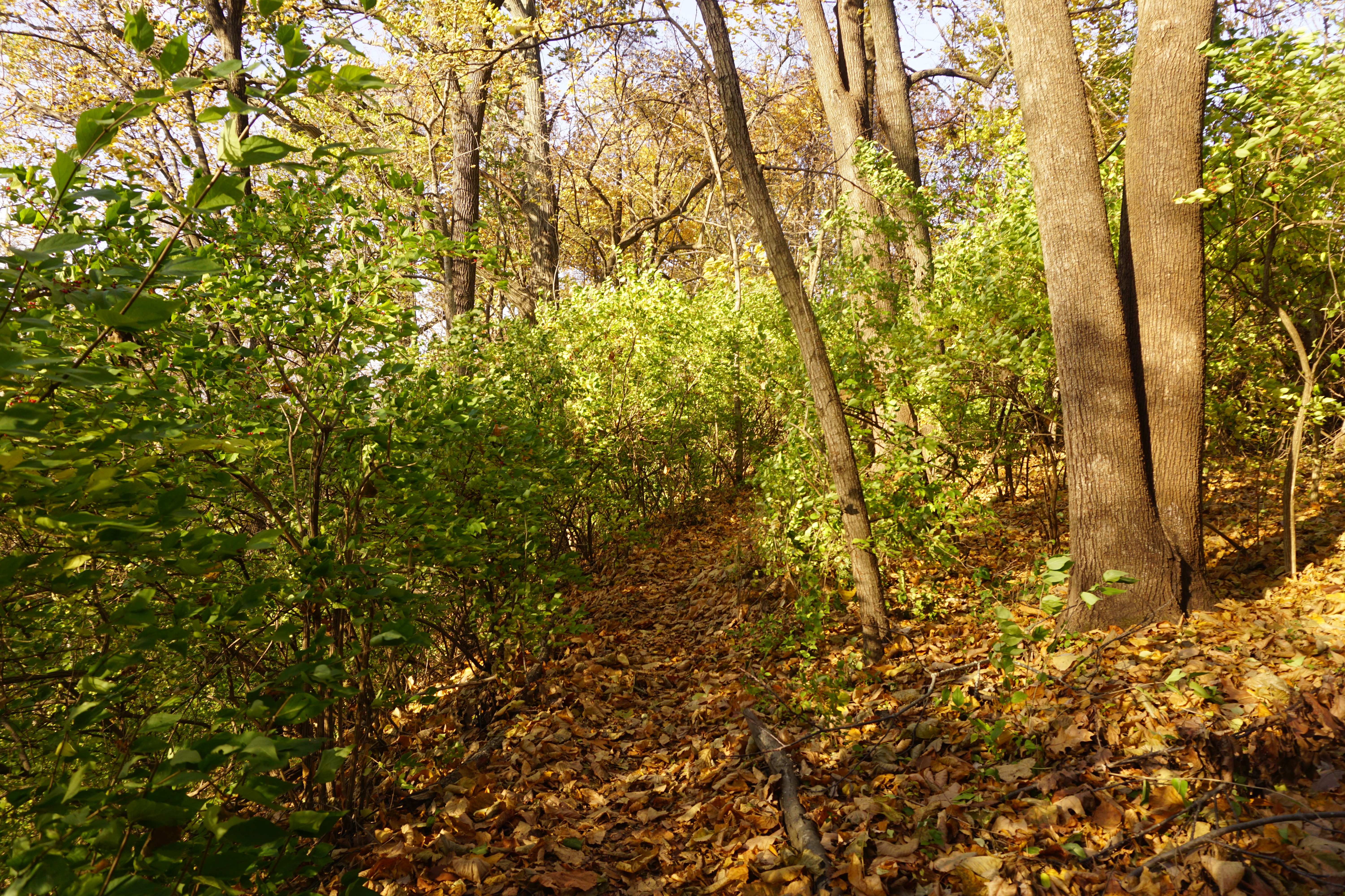
I’m always happy to see those red blazes! The trail is barely visible within the carpet of leaves today, and I’m even more sure this isn’t the way I went last time.
Found it, though! Wooden beams form steps down into the bottoms and the familiar path through the woods. A few of them seem to be newly replaced, and I’m glad it’s being maintained.
As the trail leads out of the woods, it’s clouding over a bit, but the cliffs are blocking the breeze and it actually feels a bit warmer.
Birds dart within the brush, calling out in irritation at my presence. Other unseen creatures, probably much smaller than they sound, scurry in the undergrowth as I pass.
I turn to head back up the hill again, capturing the honeysuckle berries sparkling in the lowering sun.