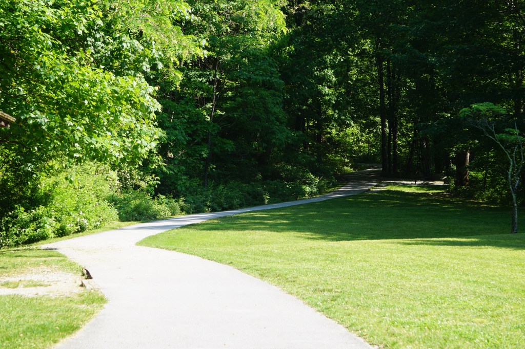
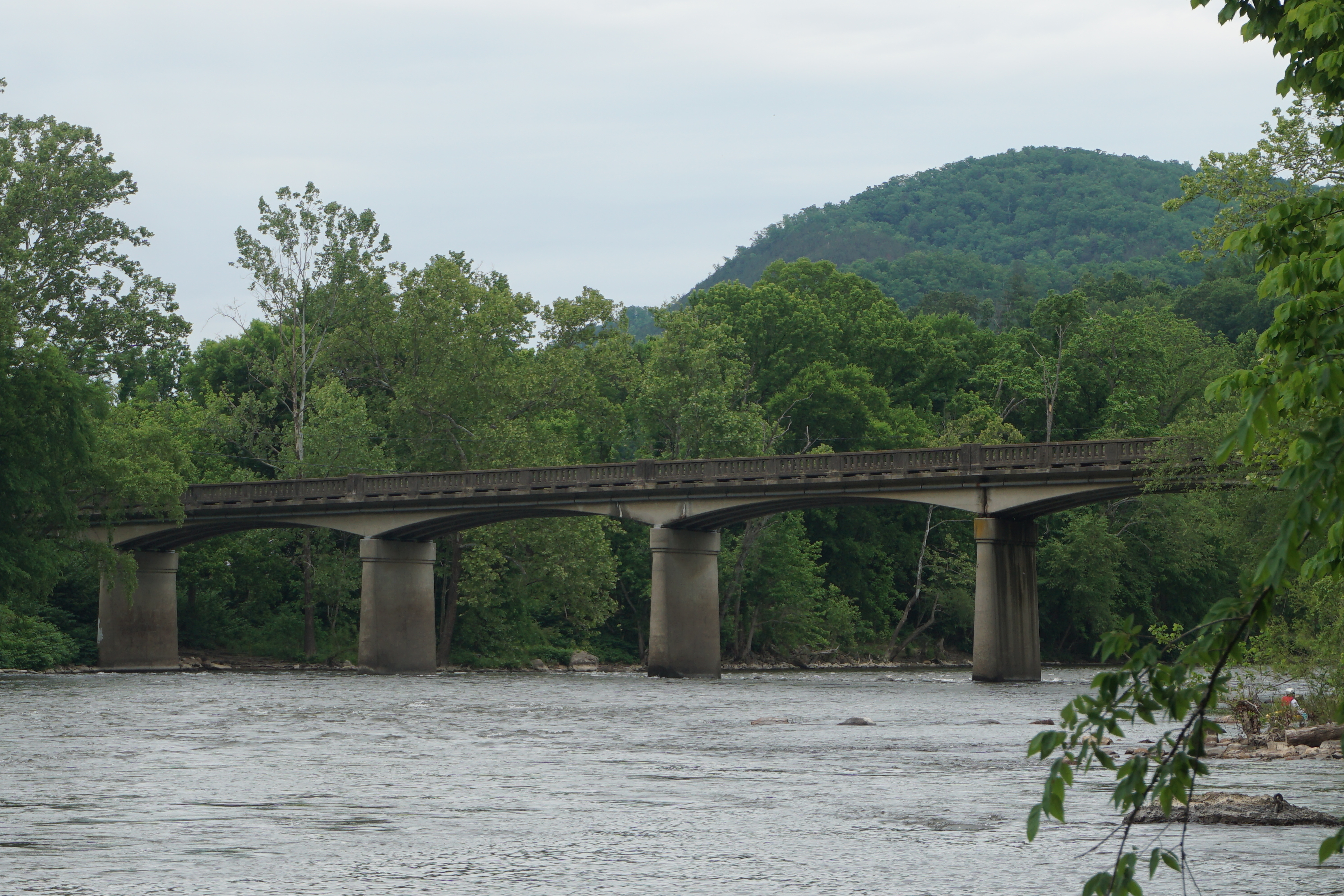
Shaw Nature Reserve has created a “Hiking Club” to showcase the transition to fall through the months of September and October. There are no organized group hikes, or expectations to come at any particular time, although certainly any group who wanted to could work that out.
Instead, they design and email a club route each week, with a trail map and several photos of what to expect and discover. Hikes can be completed at any time or even several at a time as the weeks pass.
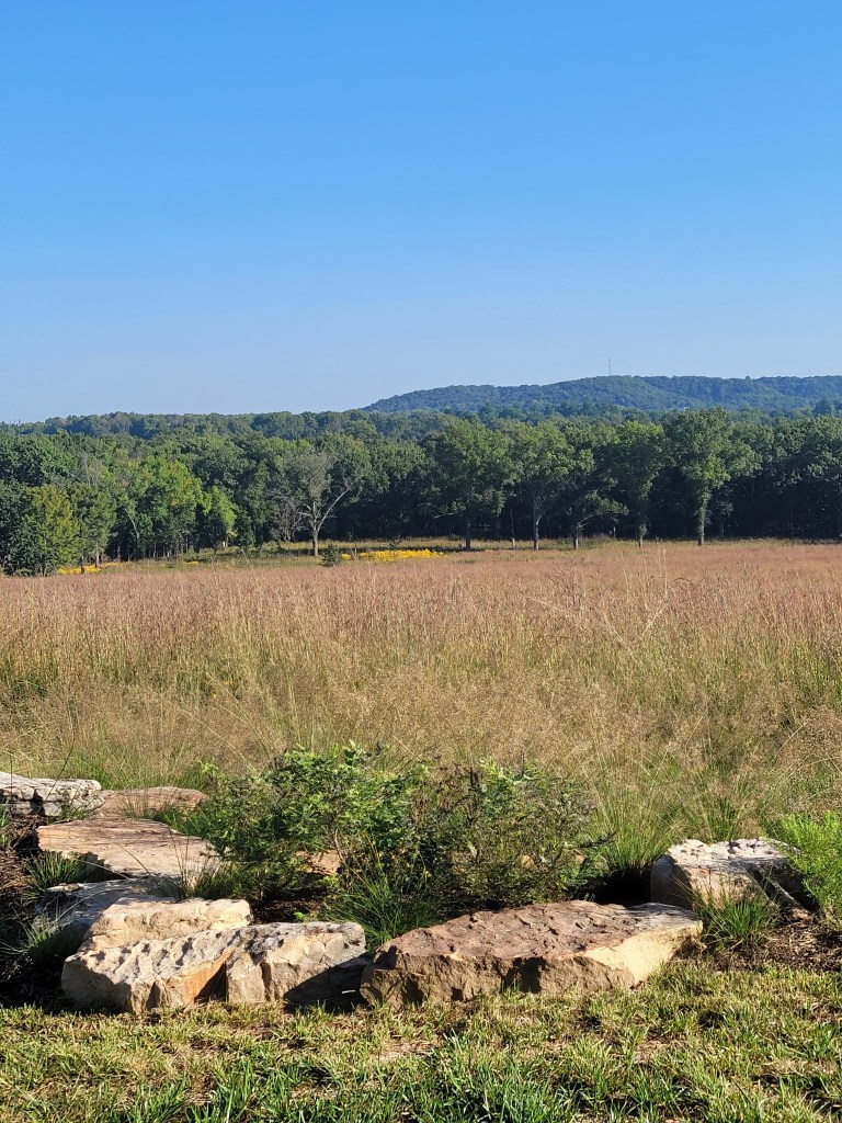
Route 1 features the Bluestem grass, growing in thick fields along the Brush Creek Trail. The grass was thick and dewy in the early morning, soaking our shoes as we passed through the trail. The Bluestem hung over, sparkling with droplets and dusting our clothes with seed.
The morning was bright and cool still, as we climbed to the McMillian Overlook showcasing the prairies, the woodlands, and distant hills.
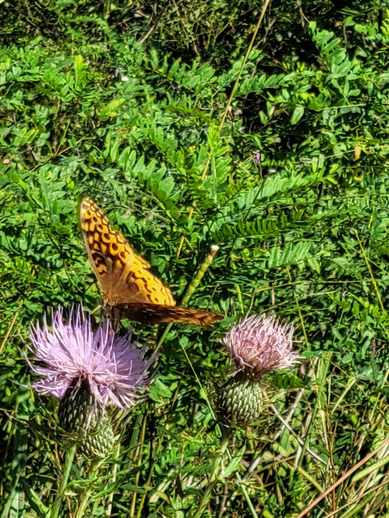
Butterflies weren’t even on the discovery list, but we saw several different kinds. Monarch, I’m pretty sure or maybe Viceroy…
Buckeye I think… The coloring is a little different, but the eye markings are pretty unique
… and completely stumped on this one. I can’t find anything that looks quite the same.
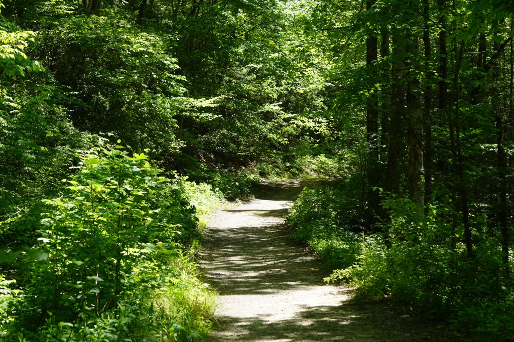
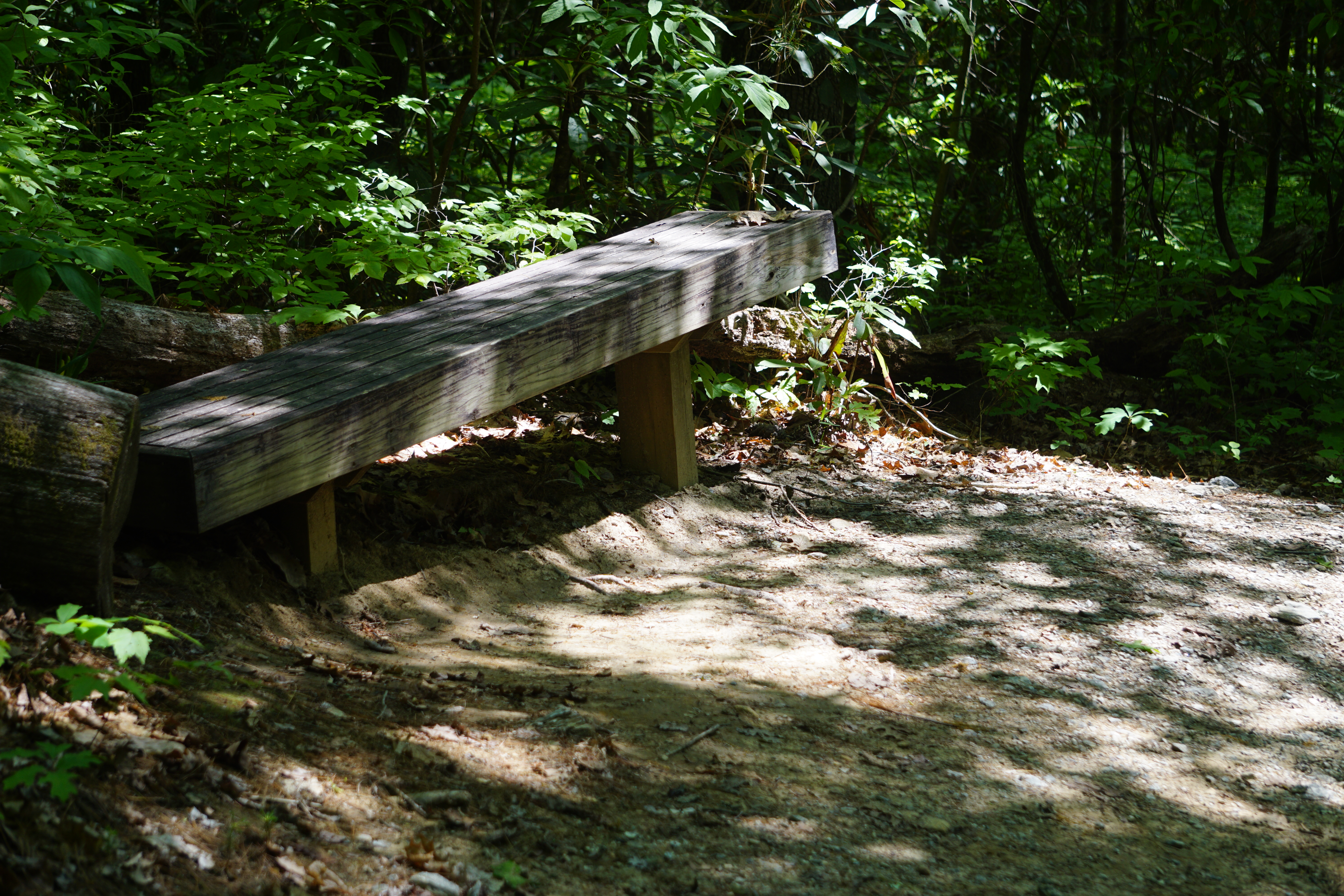
The trail winds back through a rocky wooded stretch, ending at Trail House for a beautiful 1.5 mile total stroll.
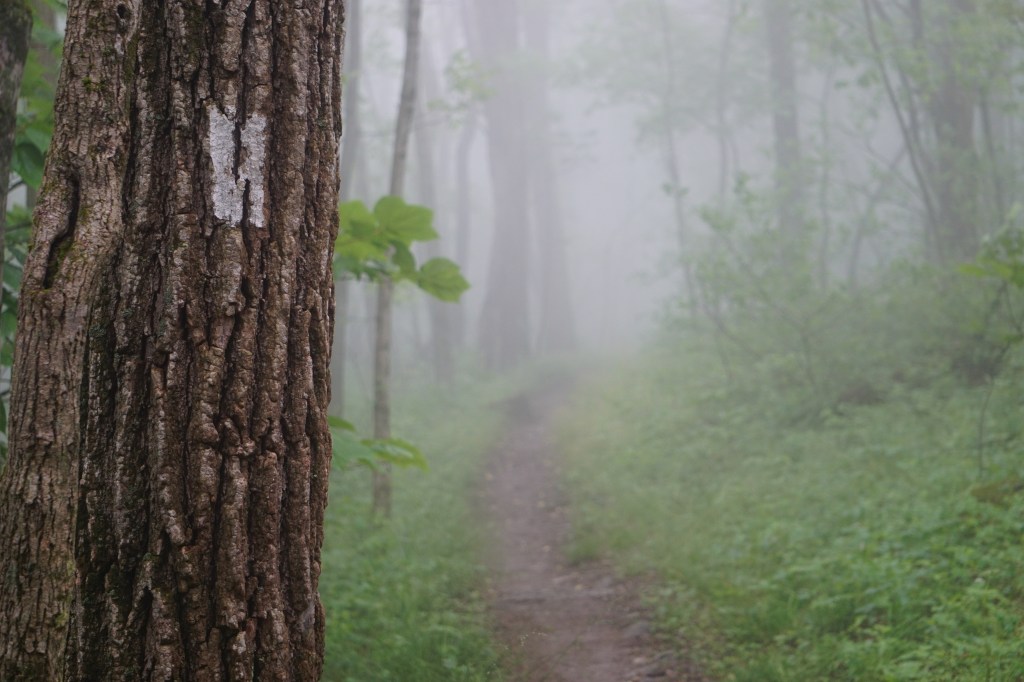
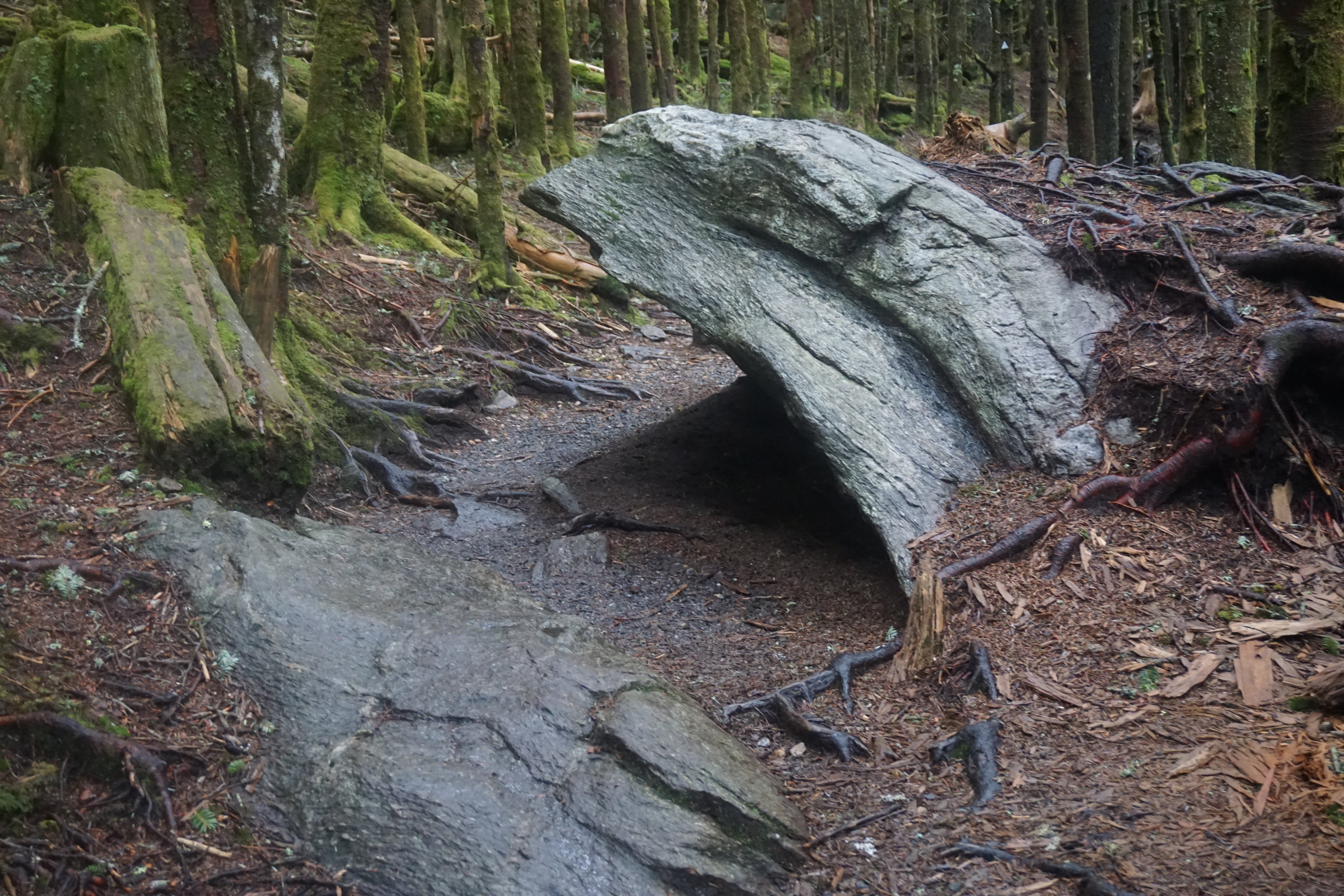
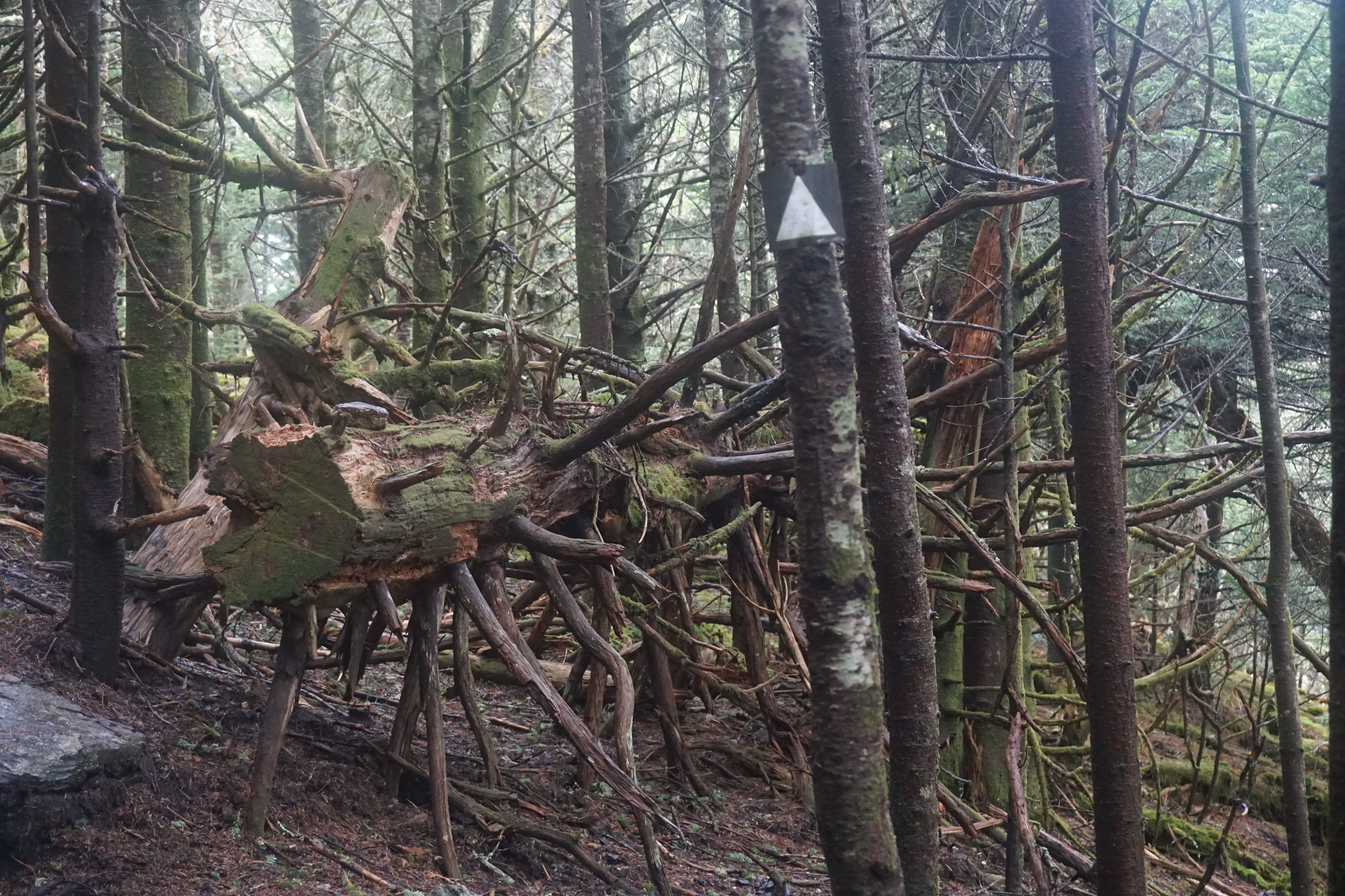
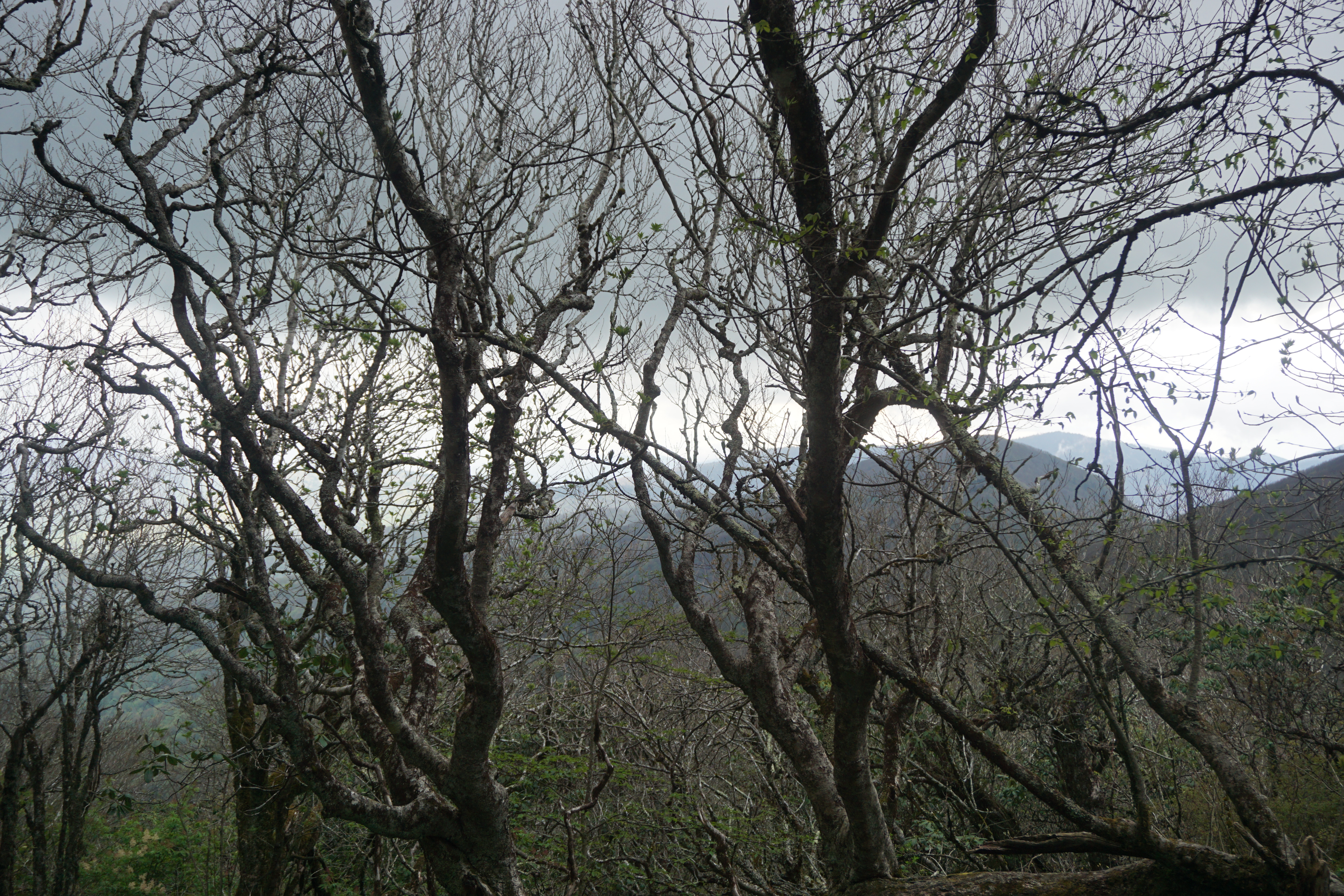
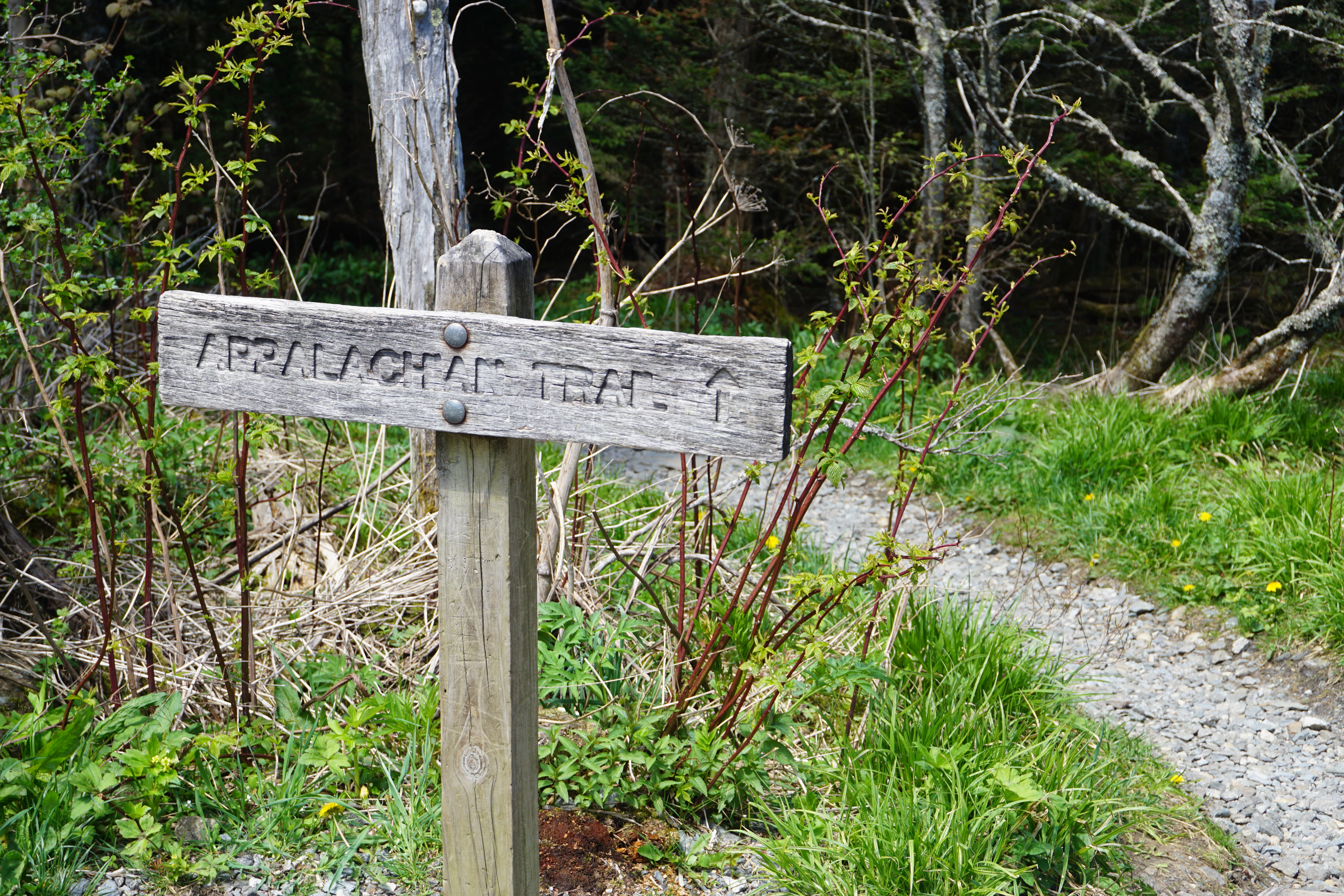
The Appalachian Trail segment, just below the overlook, still suprises me in its narrow twist through the trees.
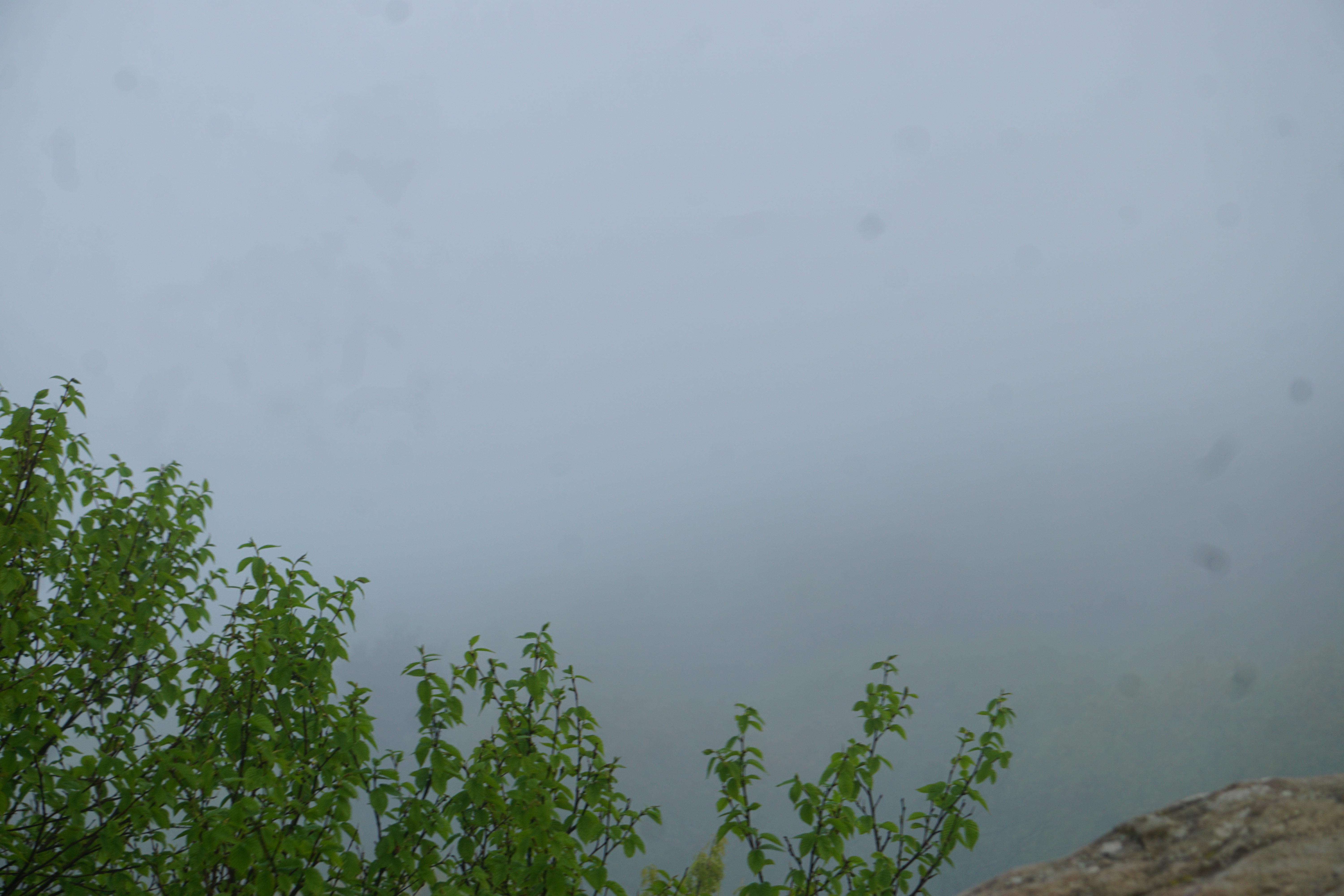
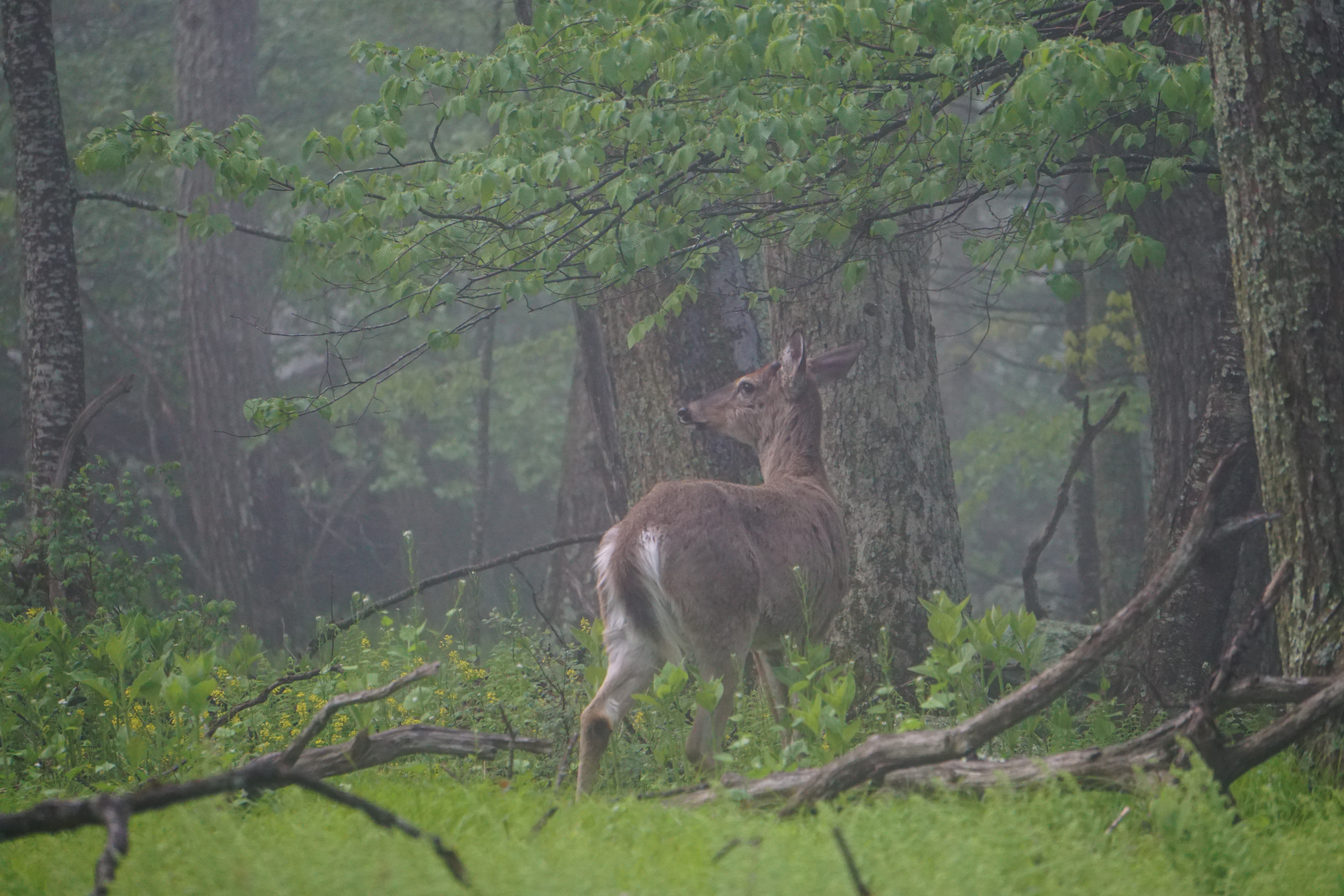
It’s quiet and deserted today. The lodge was full of hikers last night. I would have thought the lightly drizzly cool air was perfect hiking weather, but what do I know? Maybe they left earlier, it’s just past 7 am. Maybe they know something I don’t about the expected weather for the rest of the day.
A deer clips by me, with casual indifference. I think there are two, but maybe it’s just an echo in the stillness. I only ever see the one.
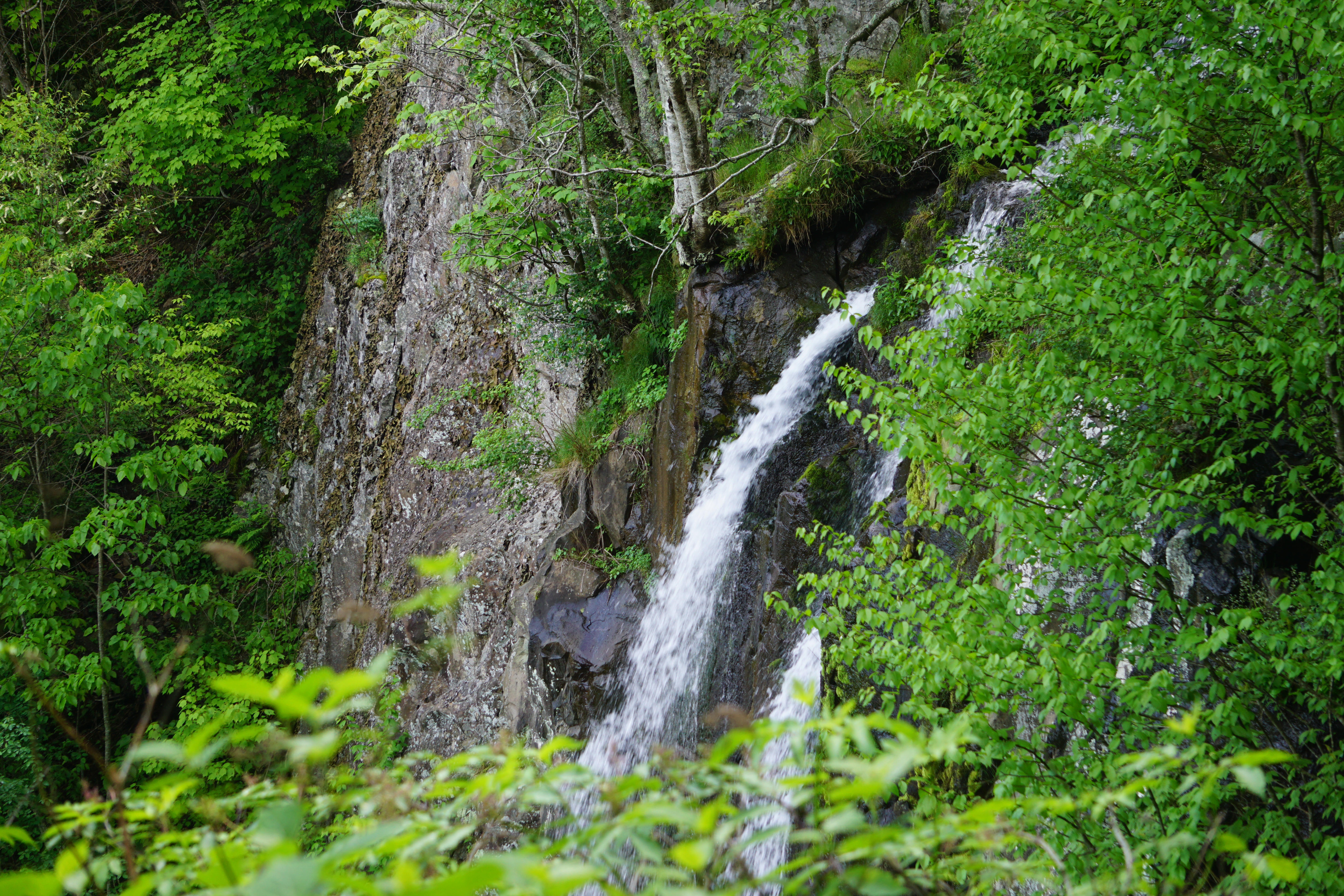
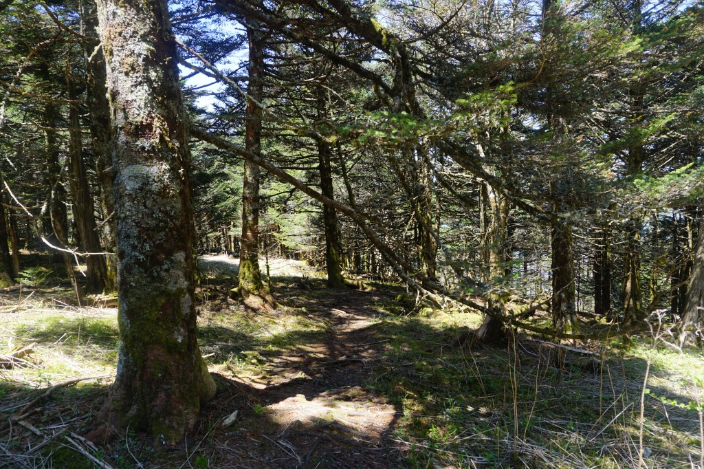
Lewis trail leaves the AT and begins a rocky descent. The sun begins to warm the air and clear the fog, opening the mountain views between the trees.
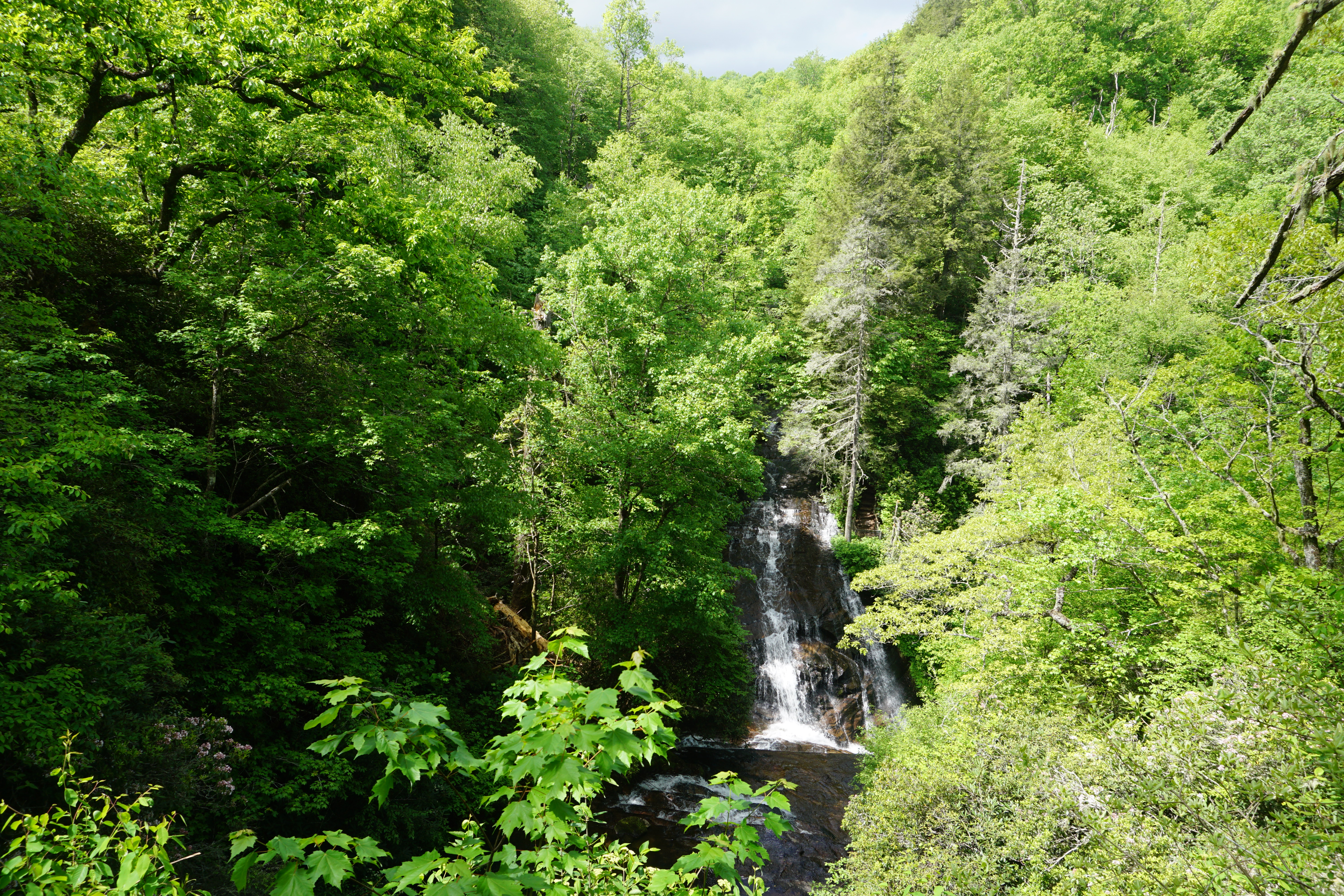
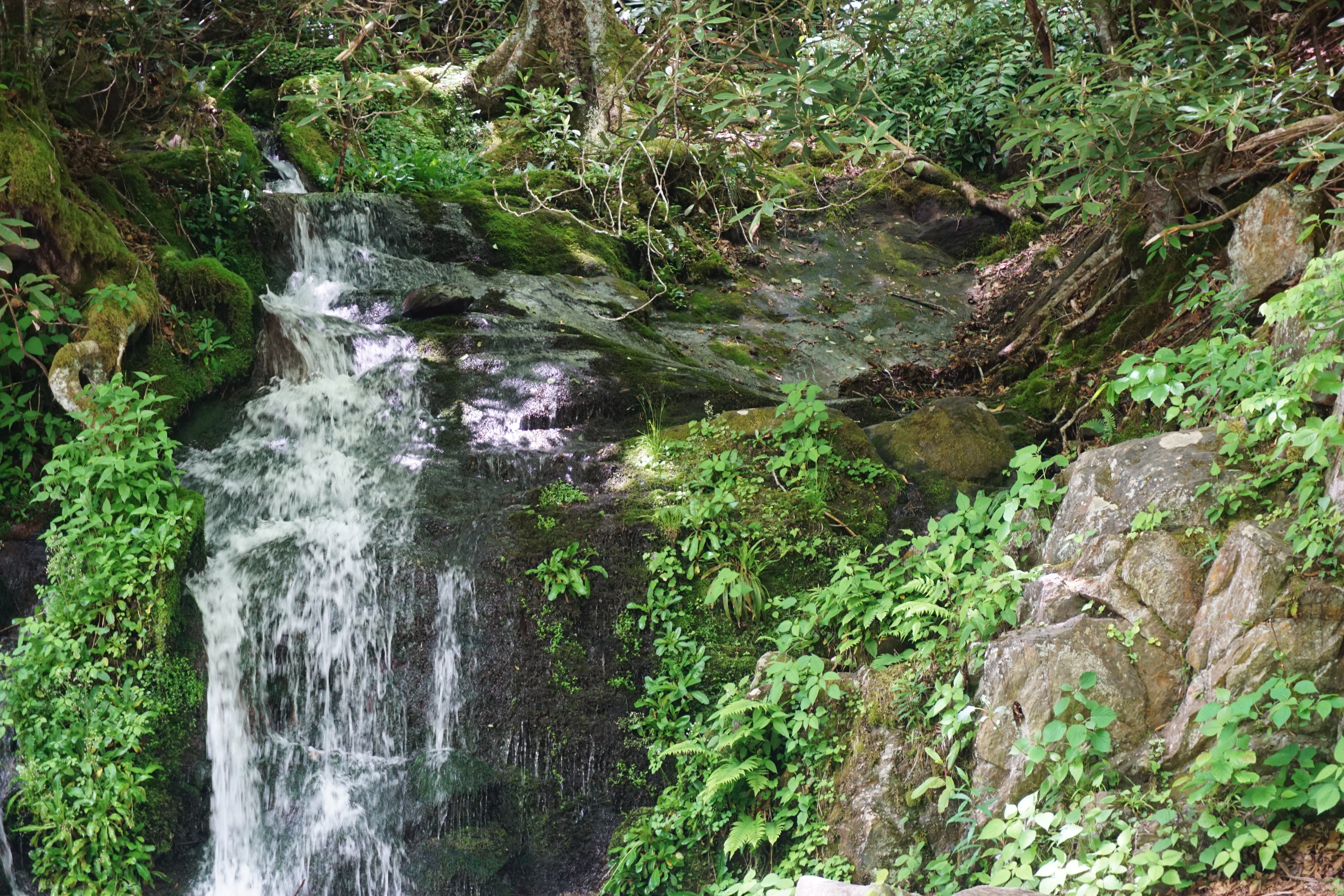
Lewis Falls twists and tumbles over and around dozens of boulders just off the edge of the trail.
A small access loop curves over the source stream to an old stone overlook of the streams gushing down the mountainside.
The trail twists back up the mountain now, sometimes muddy, sometimes with boulders to climb, but never terribly steep.
The final mists clear and the sun shines brightly, as the trail winds back to the lodge and I finally pass a couple of AT hikers.
Tiny Sanderling skitters in and out of the waves, pecking at the sand and somehow never getting caught in the oncoming spray,
Enormous Pelicans soar in formation, suddenly diving for a treat only they can see.
Nags Head Woods Preserve
Pine needle cushioned forest trail, barely two miles off the beach,
melds into sand dunes, thick and shifting beneath our feet.
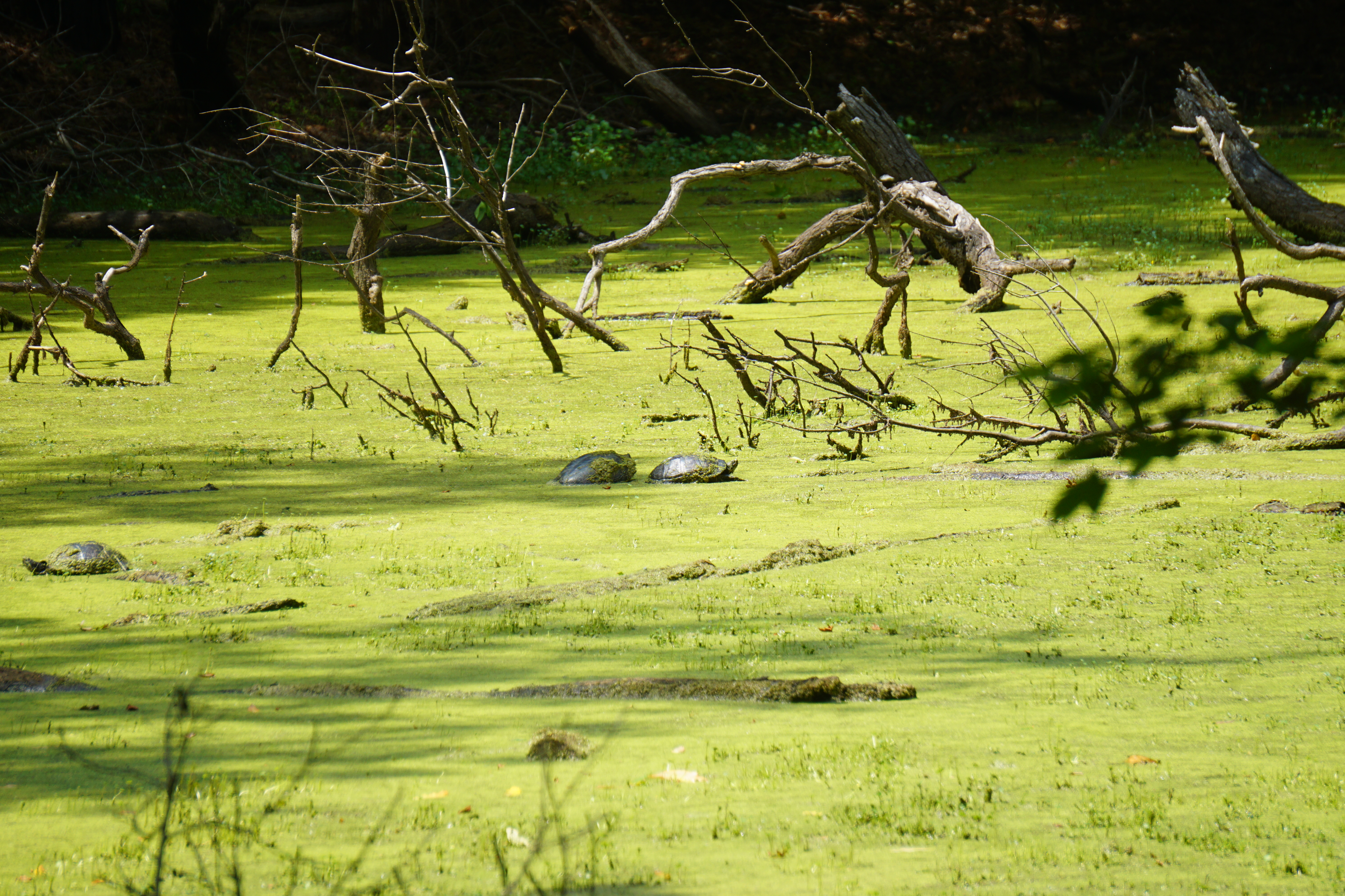
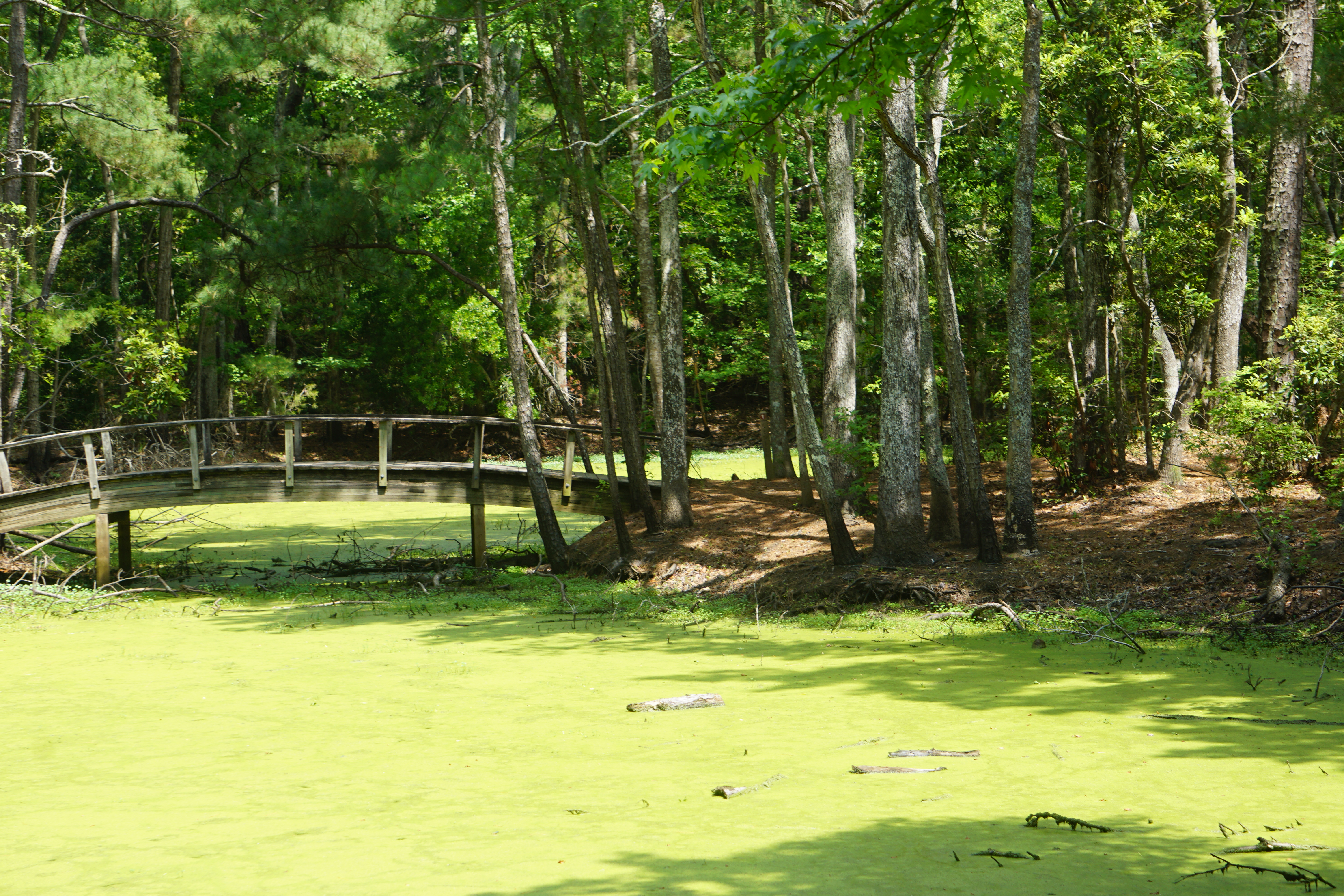
Marshlands of thick green, trail under and around a board walk path,
While turtles quietly sun.
The three interconnecting trails are no more than four miles total, but feel like different worlds.
Bodie Island Light House
The lighthouse is closed for climbing today, in the midspring pre-tourist season. It stands as sentinel in the thick, low, clouds and spattering; briefly pouring rain.
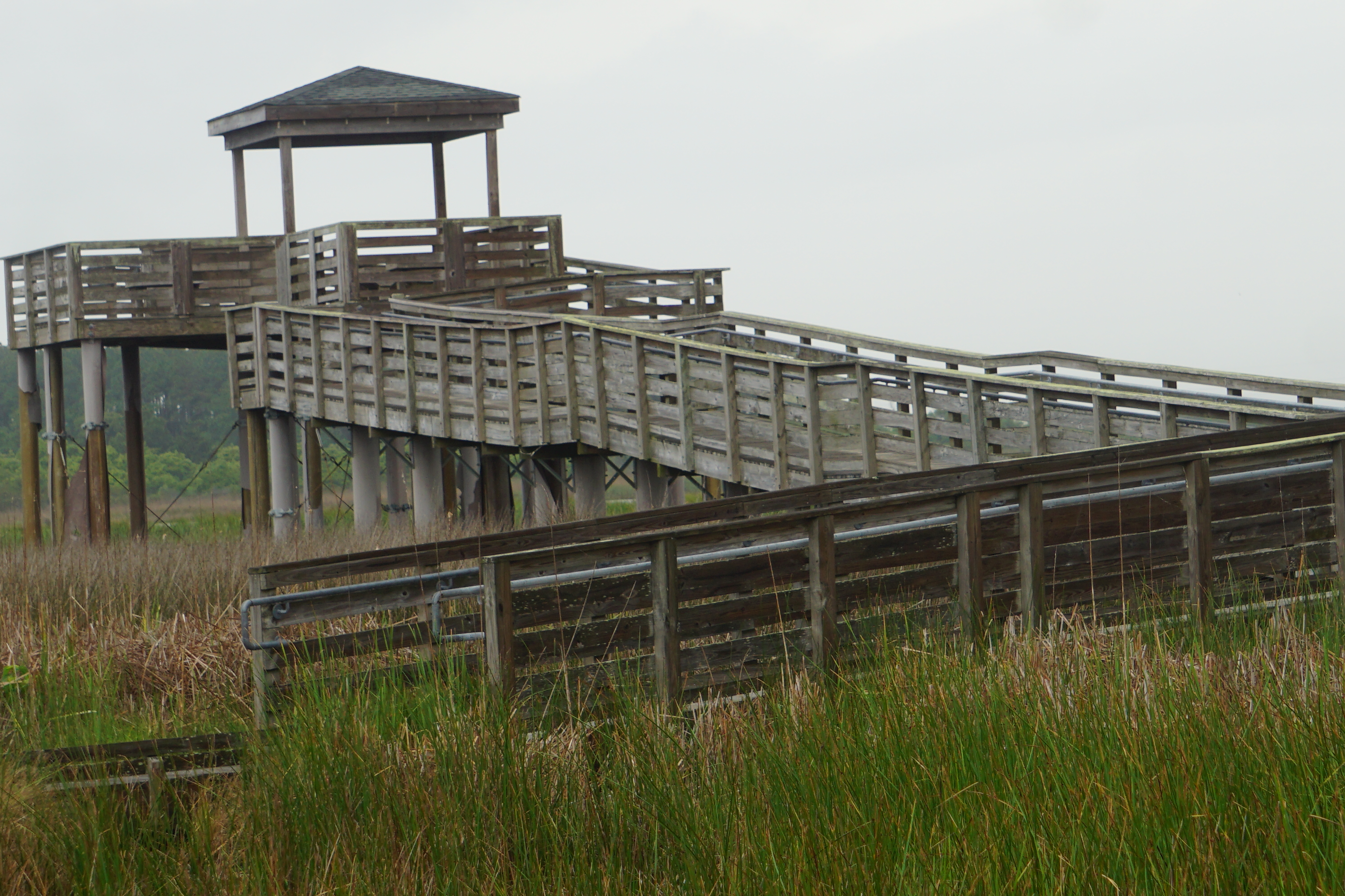
A long boardwalk trails through the marshlands and overlooks the lighthouse.
Cattails and marsh grasses grow thick and tall over tiny scattered islands.
The Great Egret slowly wades at the shore, interested only in his own investigation, ignoring my camera as well as the gaggle of students who soon follow me onto the platform.
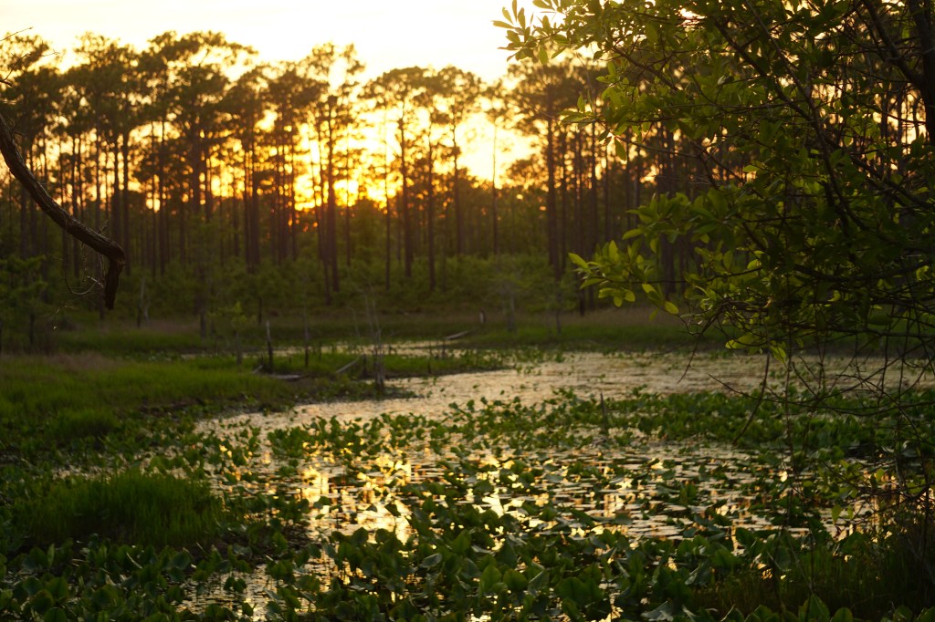
Sunset stroll after a long day of driving. We left Brevard and drove across North Carolina to Haverlock. It was late afternoon when we arrived, desperately needing to get out of the truck.
Croatan National Forest offered several short walks from the nearby Patsy Pond trailhead. The paths were lined with soft white sand and covered with a layer of pine needles.
Huge pinecones were scattered between the towering trees.
Finger rot, what a name, teased behind the grasses,
while a tiny toad did his best to blend into the ground.
Slow driving, in and out of scenic overlooks, in and out of misty rains, the mountains almost surreal in the distance.
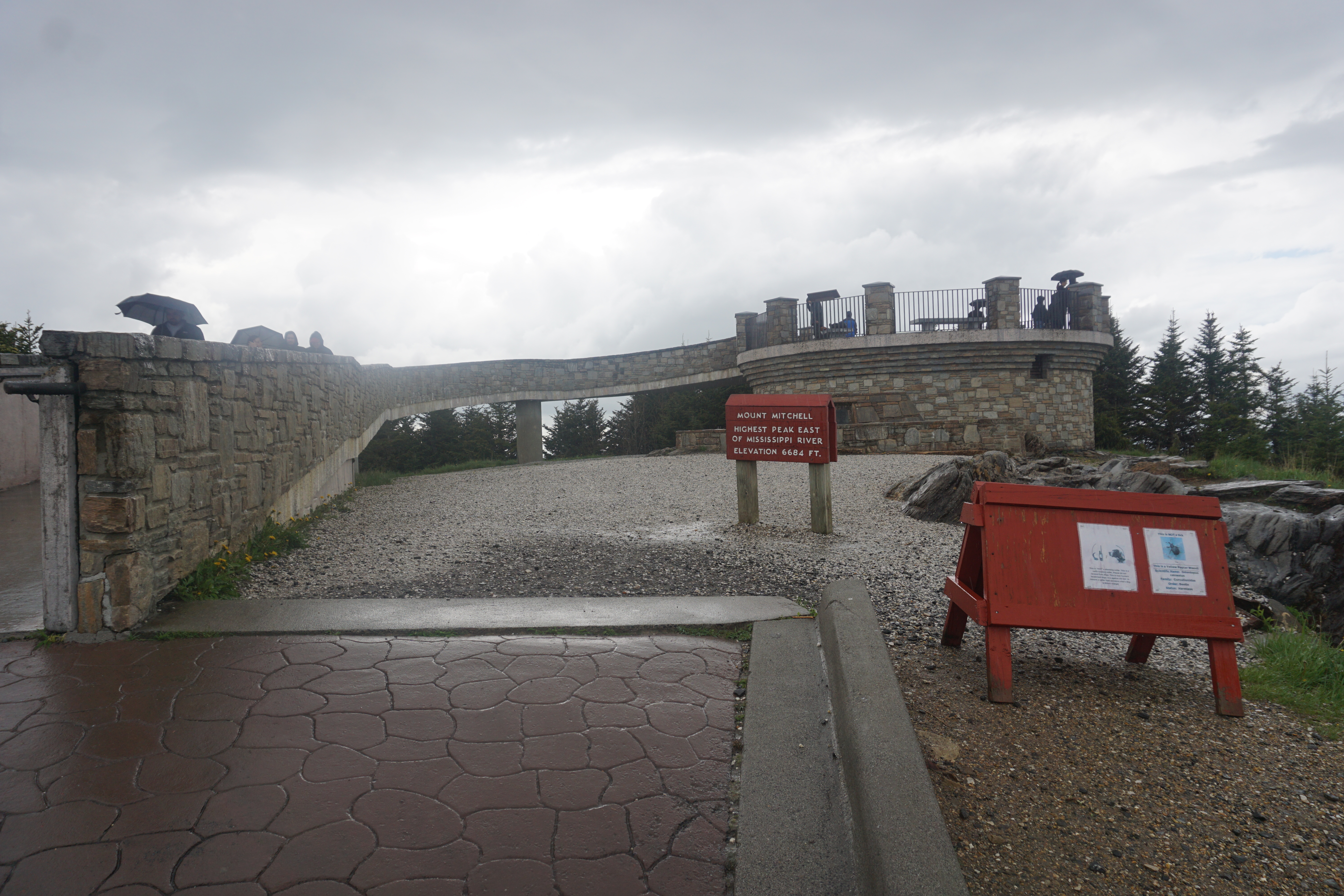
Mount Mitchell
Among them is Mount Mitchell, the highest peak in the eastern United States.
The brick trail leading to the observation tower is windy and wet today. Wrapped in rain ponchos we climb the short, steep path for aerial views of the hills we’ve just wandered through.
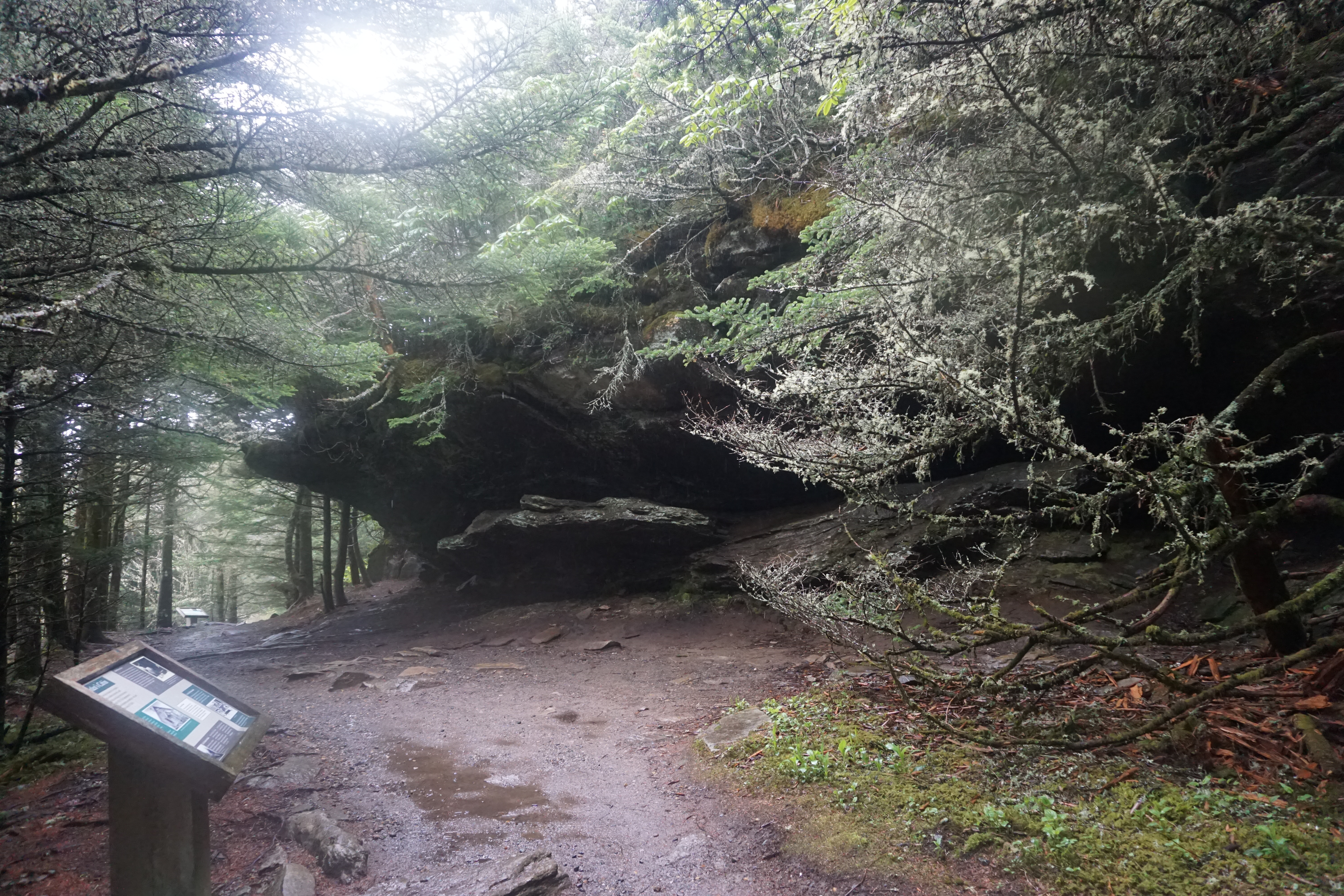
Balsam Nature Trail
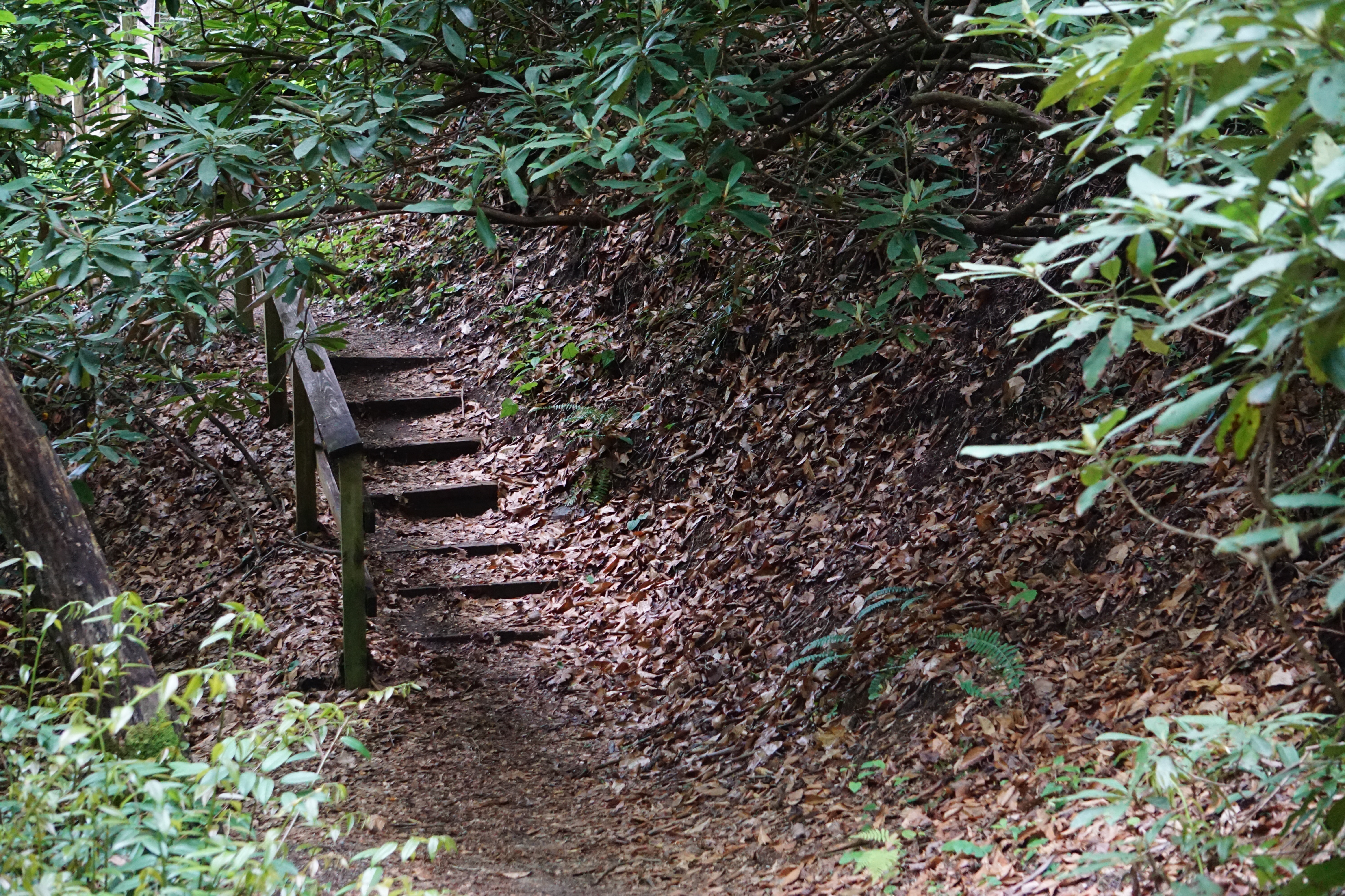
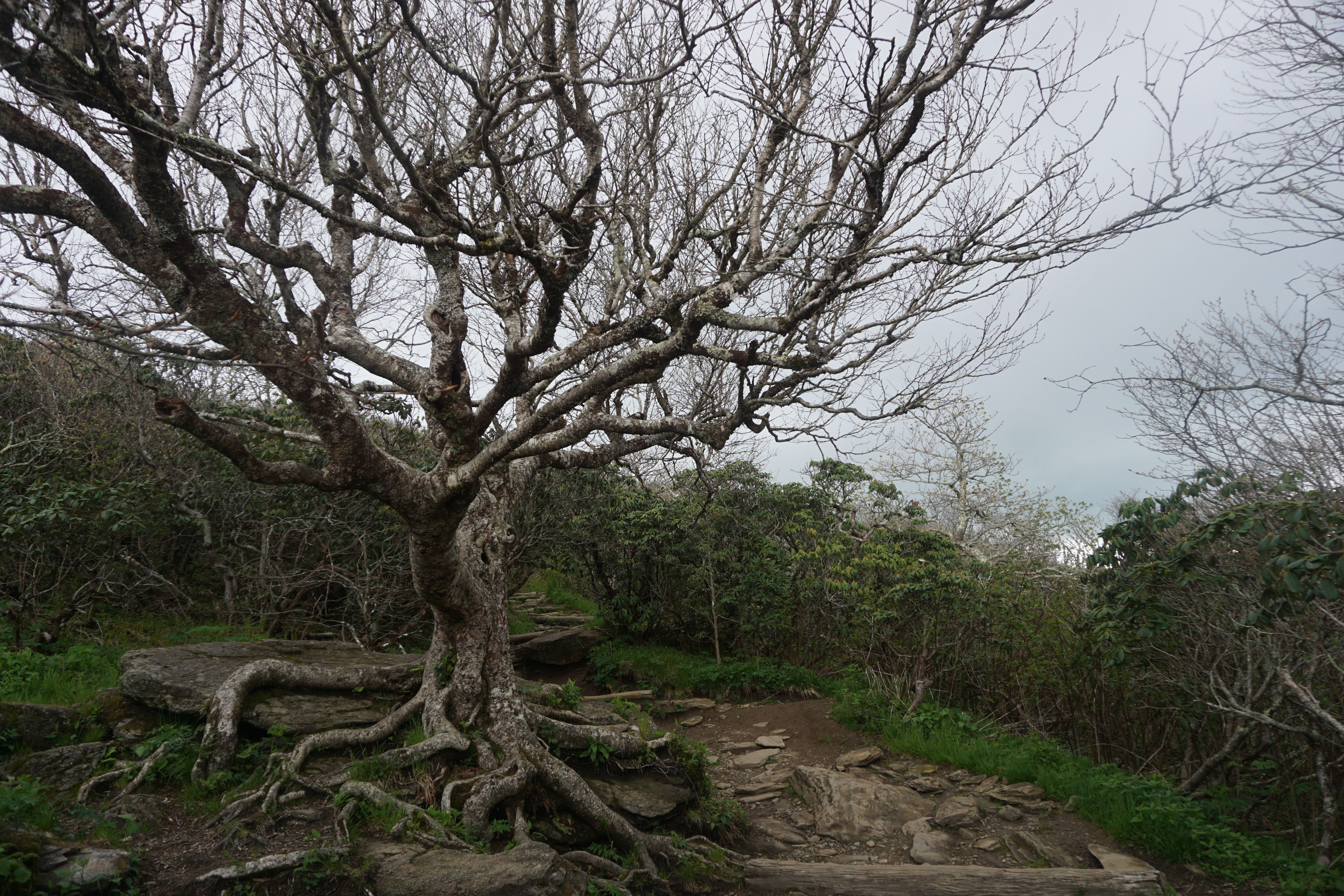
An alternate trail back down to the parking lot, leads through wonderfully weird setting of high elevation rock formations and plants.
Craggy Pinnacle Trail
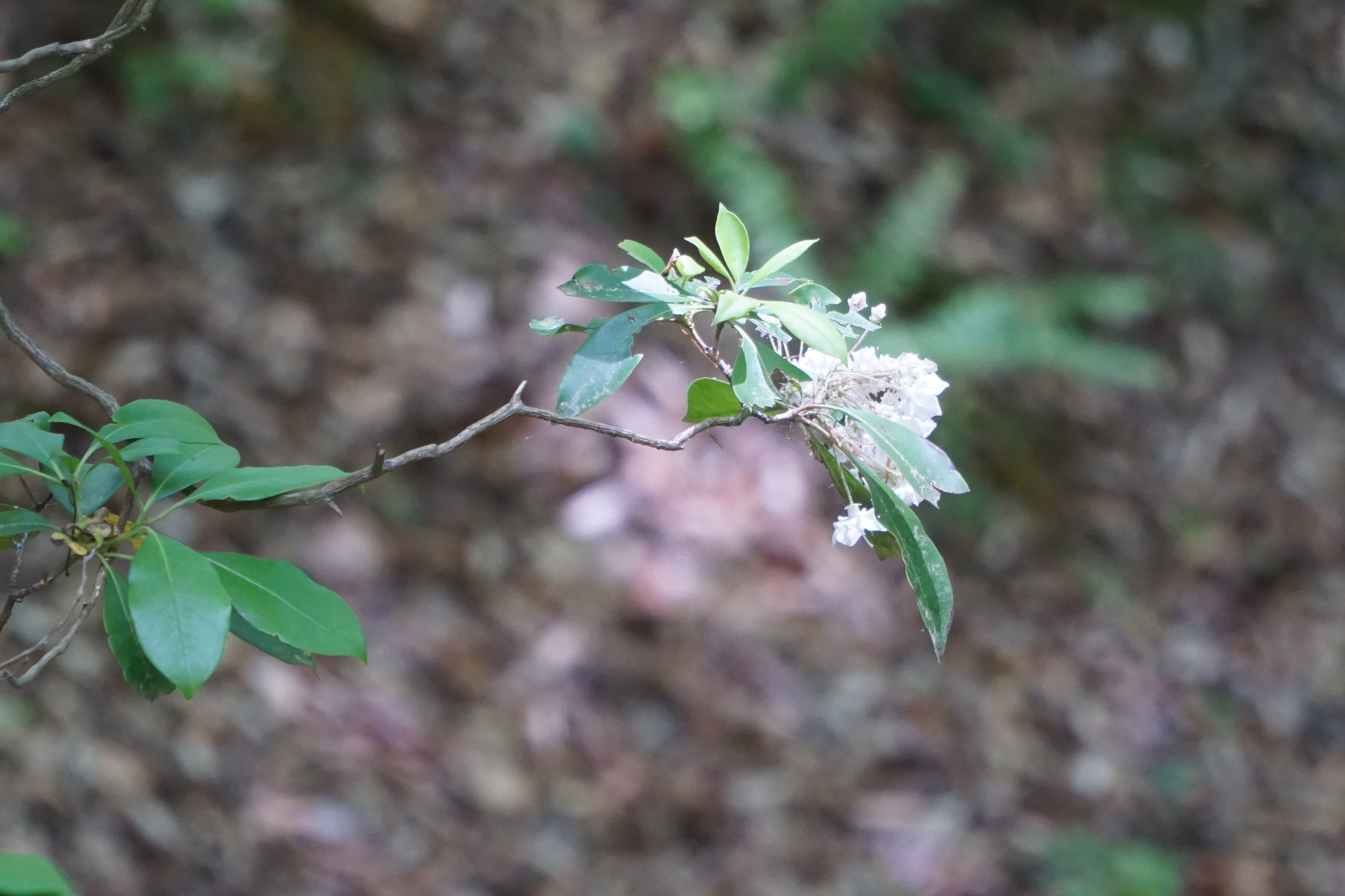
Craggy Pinnacle Trail is known for hundreds of Catawba Rhododendron, all blooming together in June. In May, the woods are just begining to green, opening views of twisted trees and gnarled branches, that look like the ancient world of a sci-fi movie. The promise of 360 degree views from the summit tease me on in a race against the storm clouds rolling in. I make it to the top of the trail. Take a few quick pictures, and dash back down the rocky incline chased by the soaking rain.
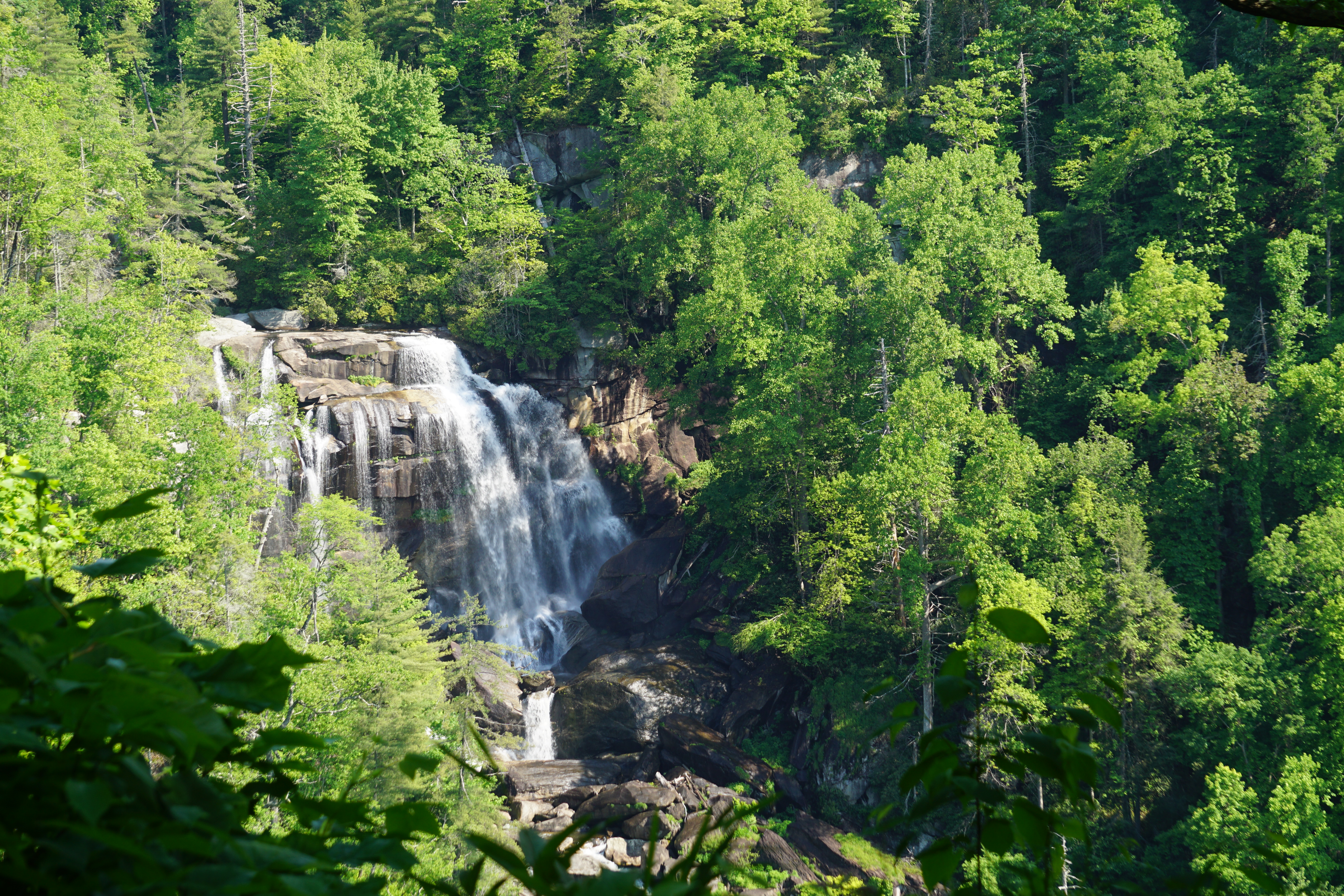
Brevard, North Carolina is known for it’s access to over 250 waterfalls, many visible from the road or a short trail. We spent a week exploring roadside pullouts and quiet mountain trails
Connestee Falls
Although it’s located within a private gated community, there is also a public area with a nice view of the falls. A short boardwalk trail leads to a good size deck that overlooks the valley.
There are actually two waterfalls here. Connestee Falls is directly below the deck, at an angle that limits much detail.
However, there is a beautiful view of Baston Creek Falls on the other side of the valley.
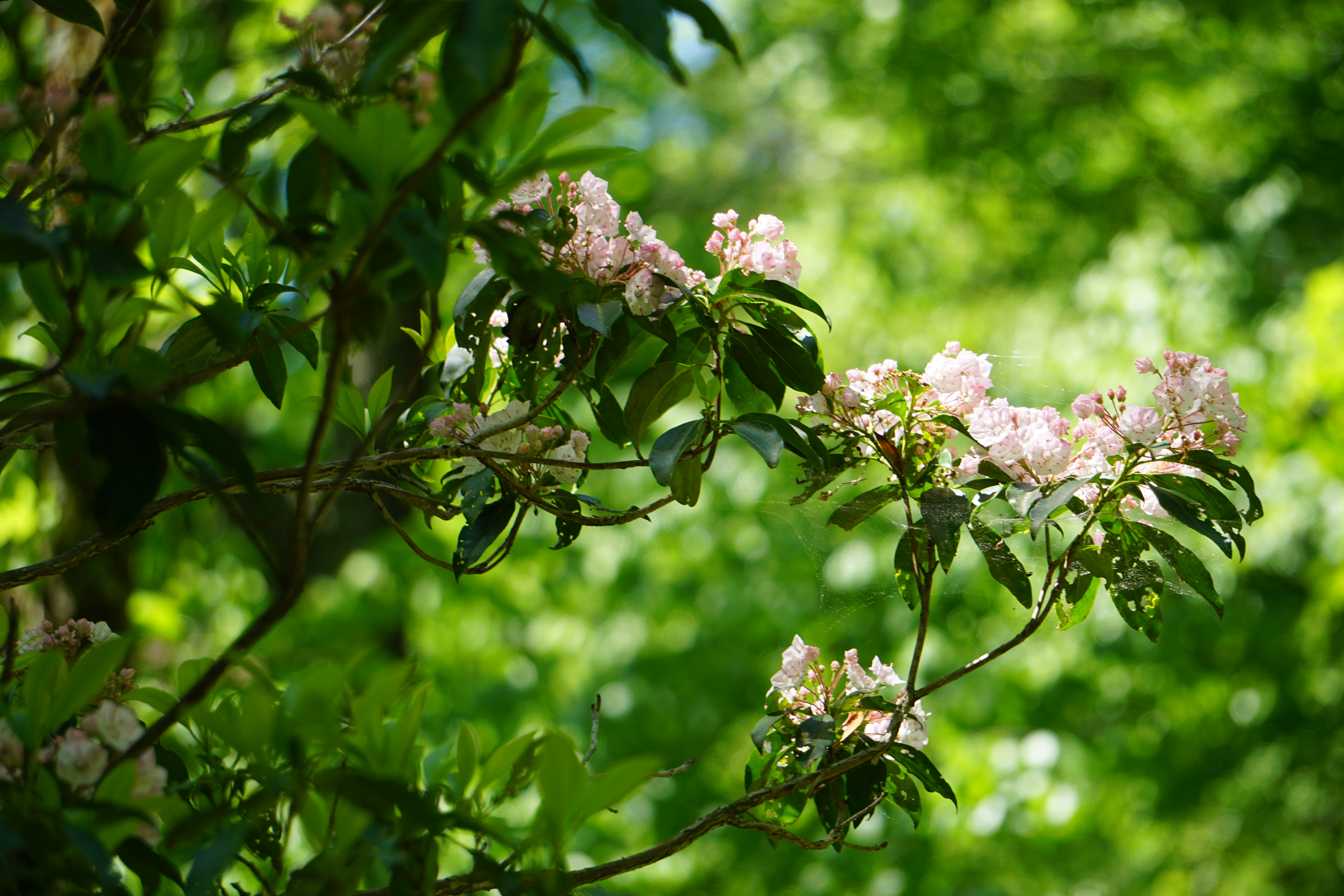
Looking Glass Falls
Looking Glass can be seen from a viewing platfom off the highway, but it’s crowded even in early spring.
Steps leading down to the water’s edge disperse the crowds a bit and allow a much better view.
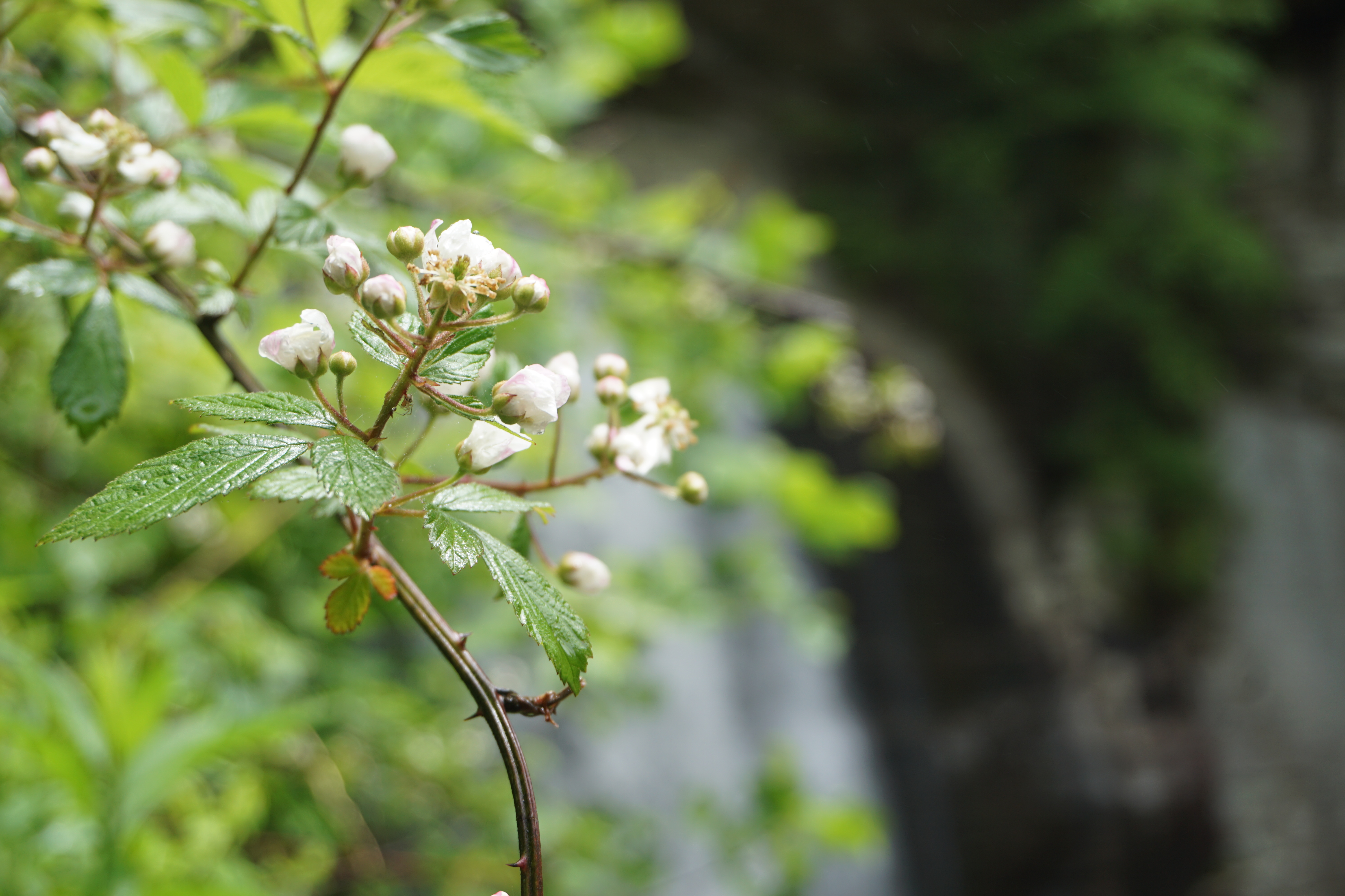
A quiet corner from the platform showcased the blossoms thriving on the spray of the falls.
Sliding Rock
Mostly a natural playground, I suspect this one is much busier in the summer months. Even today, there were several groups out sliding down the falls and playing in the pools at the base. Supposedly, it’s around 55 degrees even in the summer, not something that would tempt me to do much more than watch.
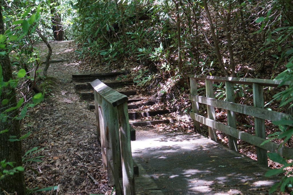
Moore Cove Trail
Moore Cove Trail is a beautiful, peaceful walk through the woods. The trail starts on a board walk, before switching to a wide packed dirt trail.
It’s mostly level with a few slight hills. A good part runs alongside a small creek.
About a mile and a half for the round trip, it made a wonderful, lightly cool morning ramble.
Daniel Ridge Trail
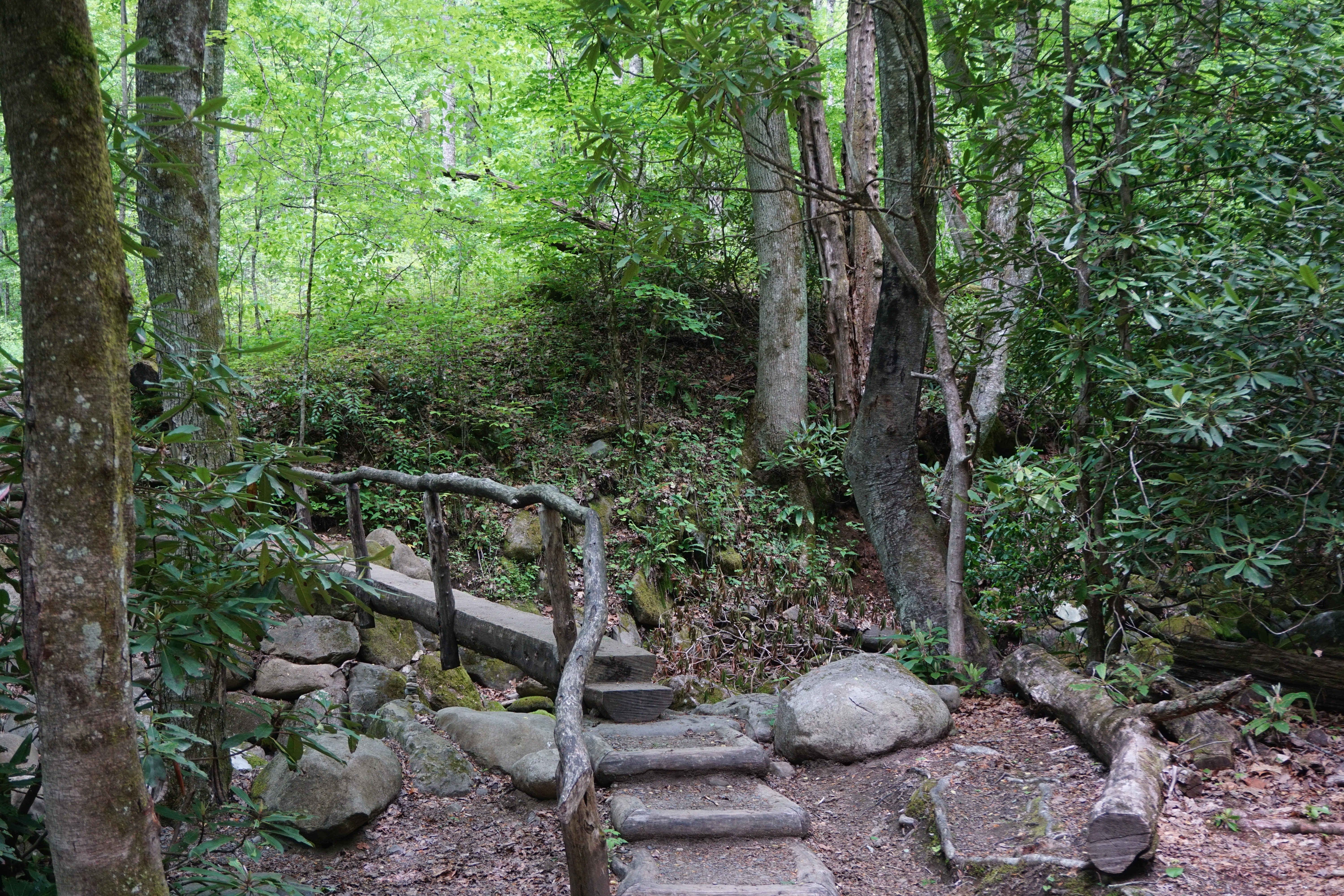
The trail head begins across a bridge at the end of a gravel road.
A bridge currently inhabited by a Timber Rattlesnake. He was not nearly as interested in photography as I was, and slid off before I could get a good picture…and before my husband could have heart failure over the fact that I was approaching him.
Although surrounded by forests, the trail is open and sunny, with beautiful wildflowers along the edges.
We took the cut off trail directly to the waterfall with the plan of then circling counterclockwise along the 4 mile trail route.
We climbed to the top of the hill past the waterfall and found three unmarked trails. We took a guess on the middle one, and wandered an hour or so through the woods and along a creek, hoping we were on the right trail. We weren’t. We somehow ended up back on the gravel road, well behind the parking lot. Not quite the plan, but a beautiful walk all the same.
Sunburst Falls
Highway 215 winds and dips and rolls through the mountains, generating streams and waterfalls across it’s length.
Like Sunburst, many are easily visible from the highway,
and pullouts to allow a few minutes break, on the way to some place else.
Pretty Place Chapel
Not a waterfall. Just a “GPS has no idea how to handle these mountains lost in the woods moment” We’ve had a lot of those. The young man working the grounds at the YMCA camp cheerfully gave us clear directions to our Dupont Forest goal. We weren’t really that far off. He insisted though, that we really needed to go the one more mile down the road to see South Carolina’s number one tourist stop”.
And so we did. It was peaceful and beautiful, overlooking the mountains, well worth a few minutes unintended detour.
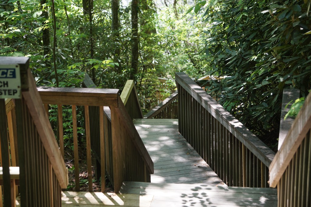
Dupont State Recreational Forest
There are 74 trails in Dupont State Forest, and at least 6 waterfalls. We parked at the High Falls access visitor’s center, where the naturalist helped us plot a route to see three of them in one mostly continuous loop.
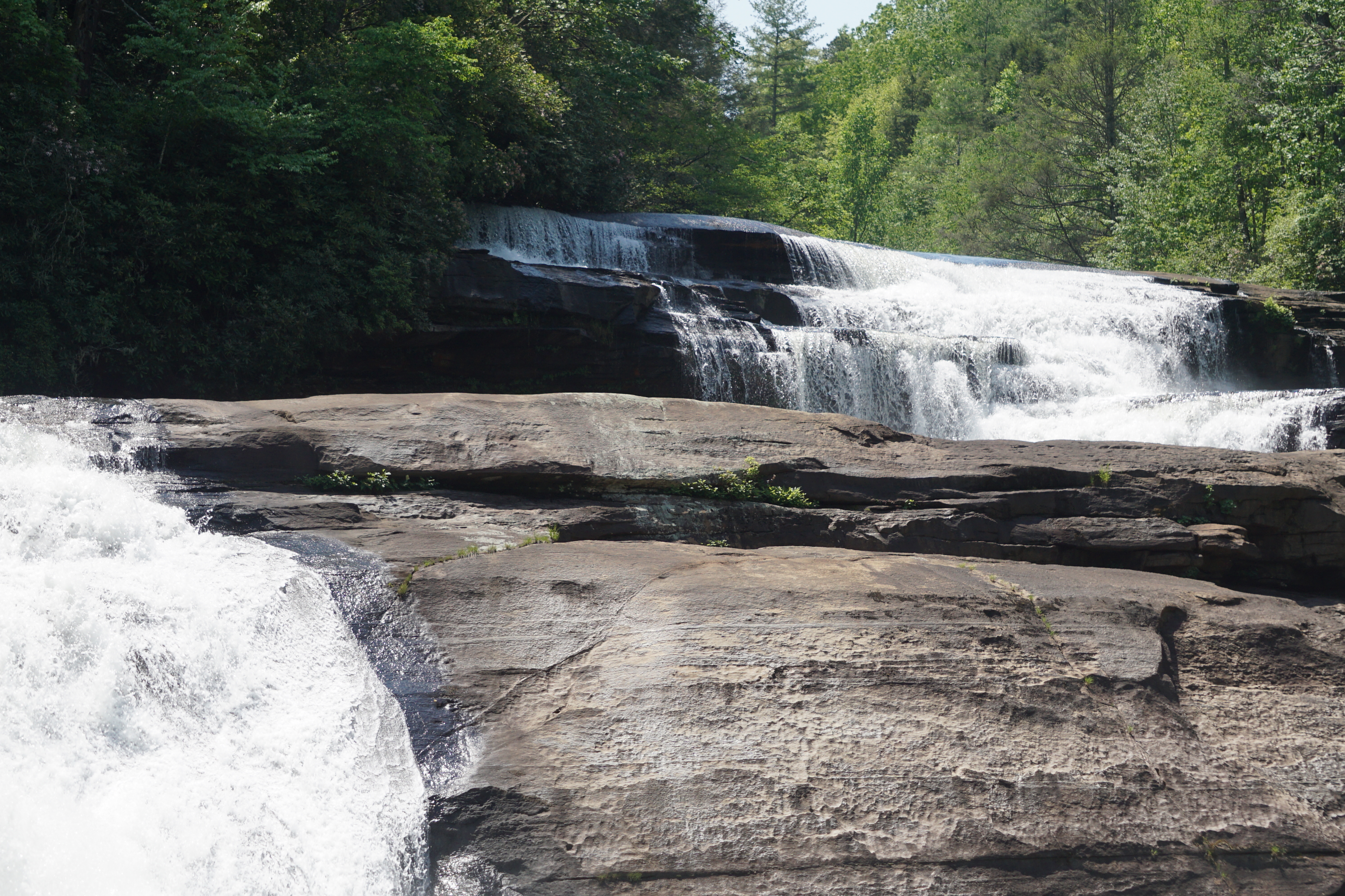
High Falls
It’s a noisy start at the head of the trail. Traffic and airplanes and construction equipment roars over the sounds of the forest. The path turns quickly though, deeper into the woods, and within 10 minutes there is nothing but the call of birds and the earliest hint of rushing water.
The trail is wide and well maintained with crushed gravel. It’s mostly level here and a nice, easy start to the hike.
Double waterfalls pour over the ridge, separated by a huge boulder; scrubby trees improbably clinging to its surface.
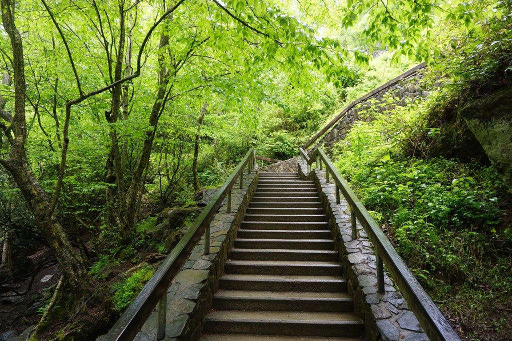
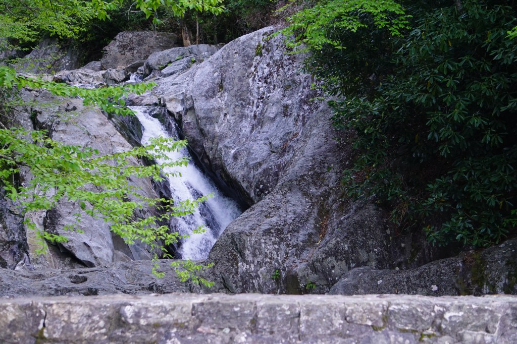
Triple Falls
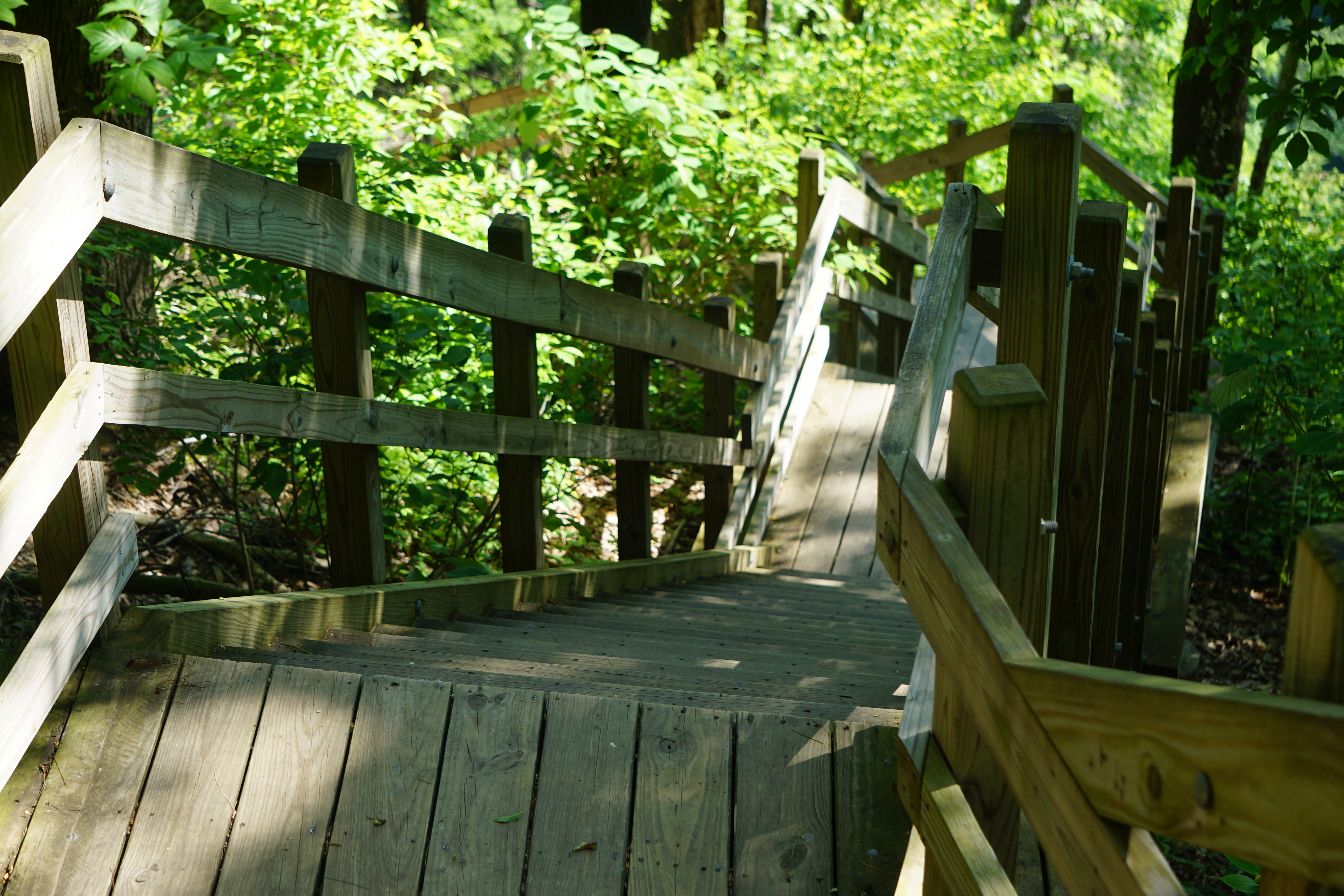
The Triple Falls viewing area is down a winding staircase of 112 steps. It’s nicely tiered with landings and even benches if needed though.
The first two of the three falls thunder from the end of the steps.
A lower viewing area on the way to the Hooker Falls Trail showcases all three of the connected falls.
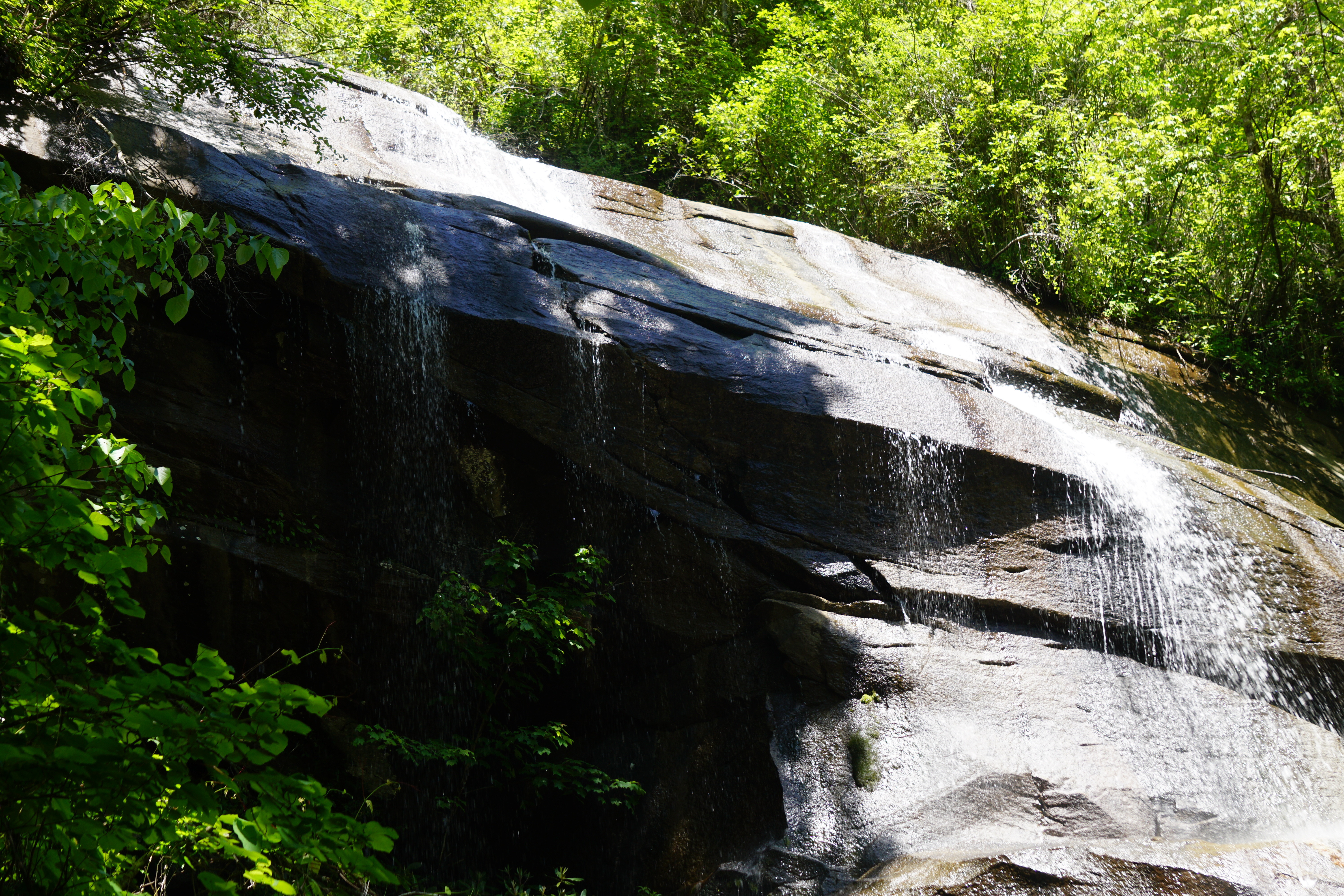
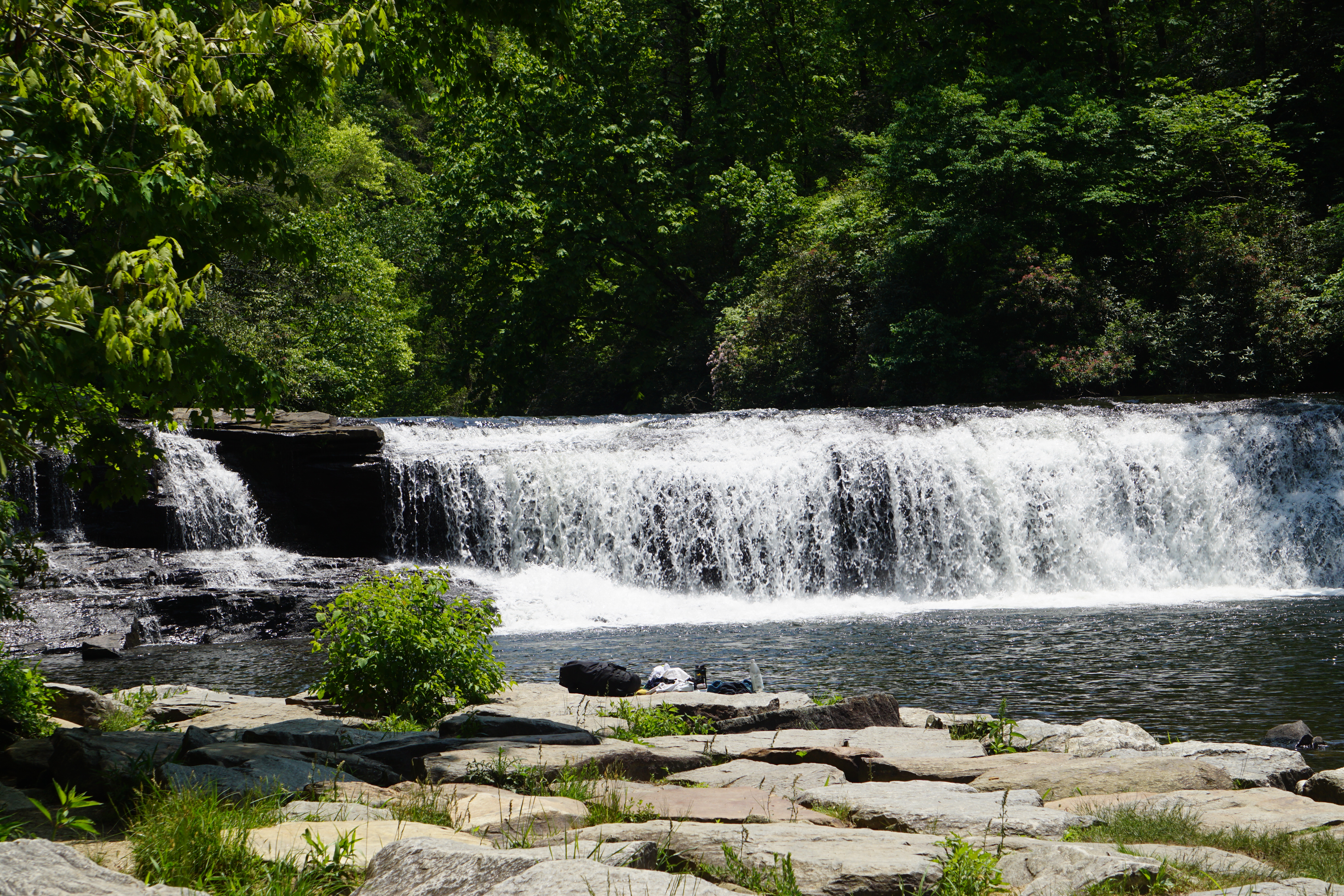
Hooker Falls
The Hooker Falls Trail connects to Triple Falls across a bridge and the parking lot of its own trailhead. It’s a wide gravel descending path. Initally it’s noisy from the park road traffic, but it soon hushes into the sounds of the woods.
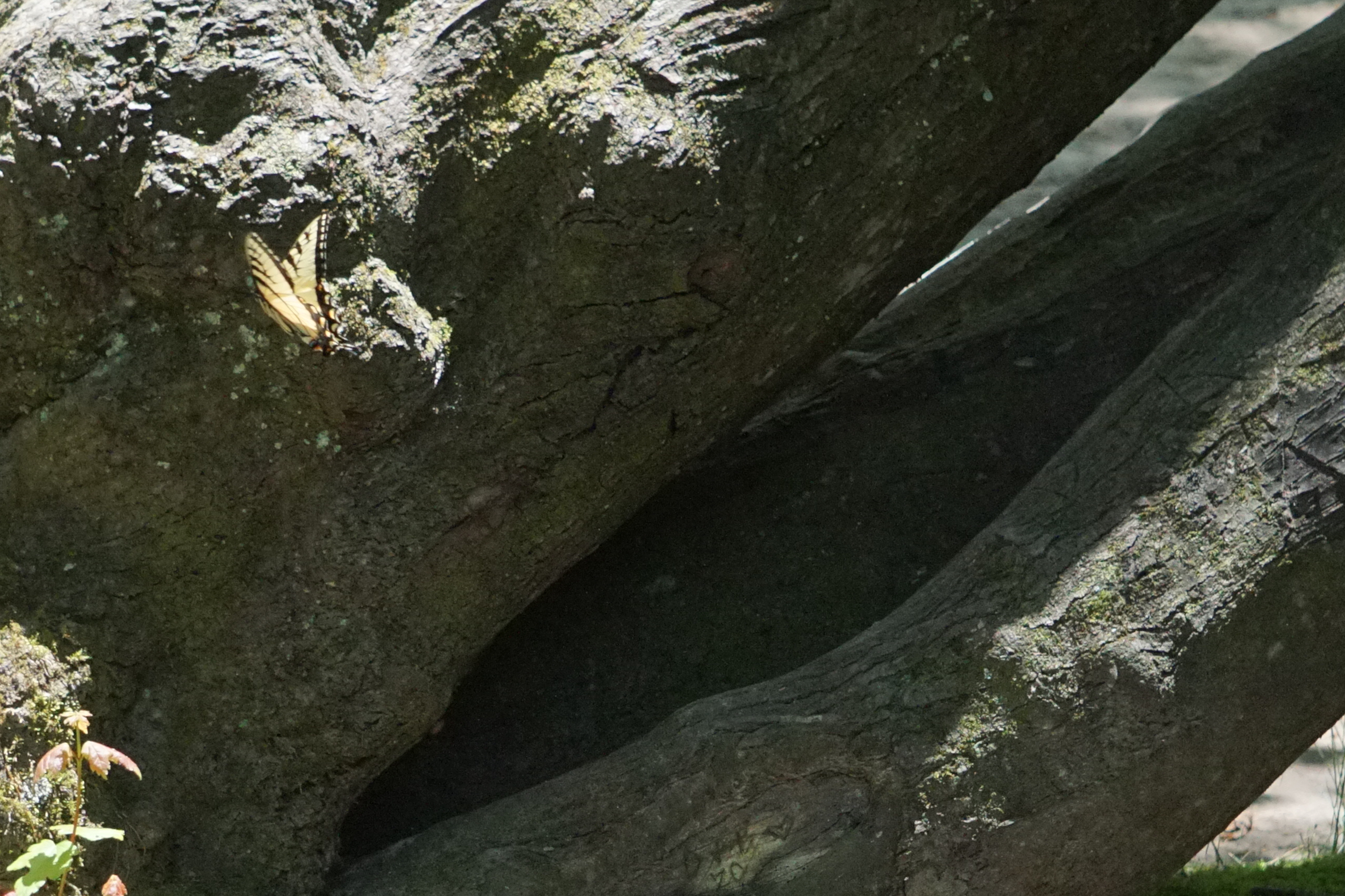
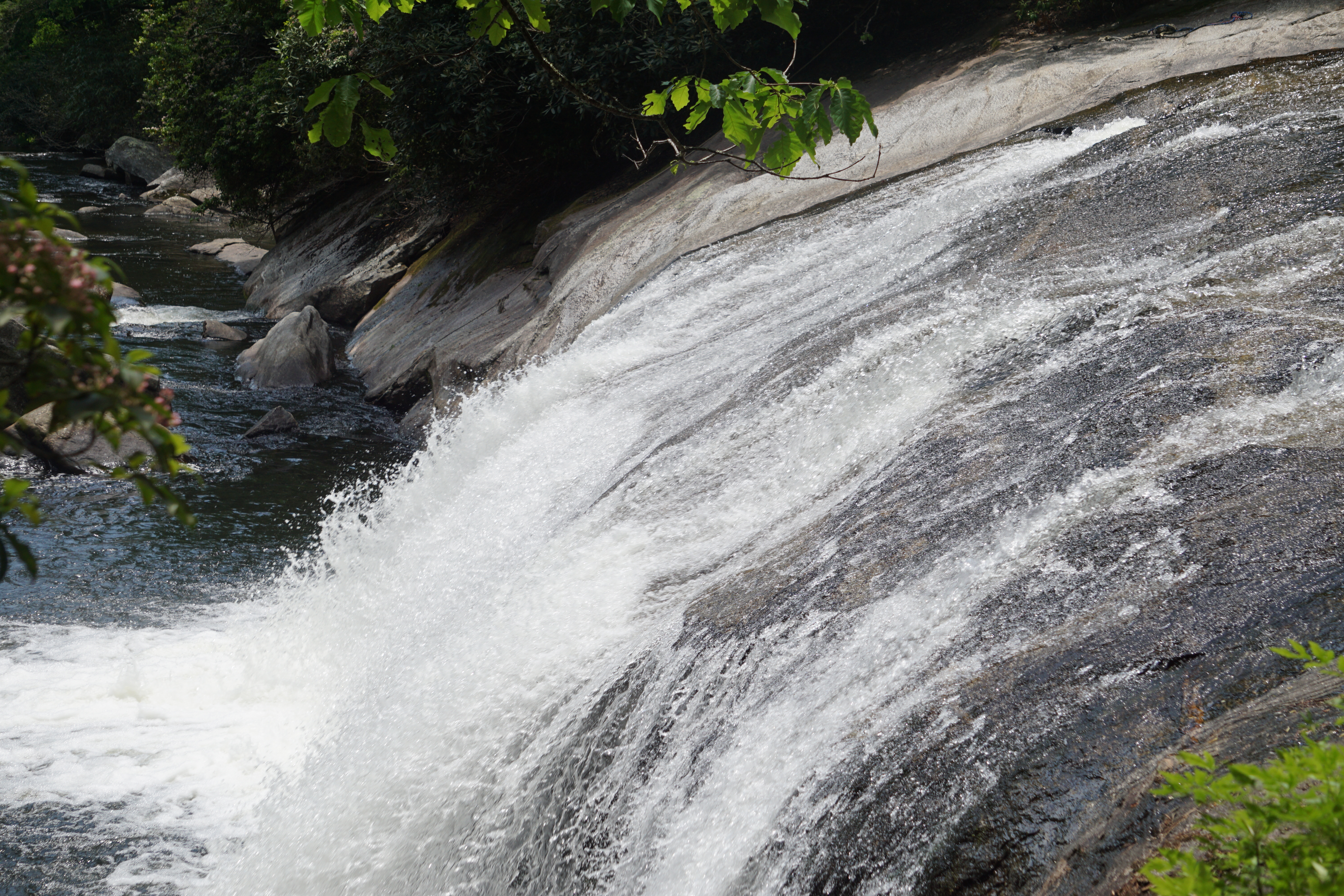
It’s a different style of waterfall, low and wide, but still with a tremendous rush of water. The pool at the bottom stills quickly though, and a young couple tosses a ball for their dog to chase at the edge of the water downstream.
Chasing the dog, he ran across what he called a nest of butterflies. They were everywhere, behind an old tree, hidden in the rushes, and darting across the water. Most pictures were nothing but yellow blurs, but I did get a couple that were fairly clear.
Gorges State Park/Nantahala National Forest
Our final day of waterfall exploration, we headed to the other side of Transylvania County to explore four falls feeding Lake Jocassee.
Upper Whitewater Falls
A smooth, wide, paved path leads about a quarter of a mile up a gentle hill.
Open vistas overlook the mountains and the lake, while birds call from the trees.
There’s a beautiful view of the waterfall at the top of the path.
A short staircase also leads down to a platform,
for a slightly closer look. A hiking trail leads down from the platform, but a sign states that there are no closer views from there.
Upper Bearwallow Falls
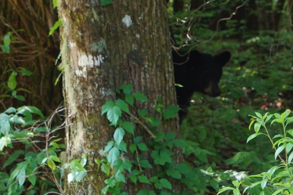
No, he wasn’t actually on the trail, but I had to include him here just because of the name. We saw at least three or four of them just inside the woods as we drove into the park, stumbling around together with no interest in the busy road.
The trail here starts out wide and gravel lined, with a pretty sharp descent. It crosses the park road, then switches to packed dirt with a few railroad ties for stability. There’s a lot of bird calls and some rustling in the woods; a little more nerve racking after the bear sighting.
Benches are spaced along the turns in the trail, a reminder it’s listed as moderate despite its short length.
The viewing platform boasts a final chance to relax and enjoy the waterfall, before the trip back up the hill.
After Triple Falls hill yesterday, that was nothing.
Rainbow Falls
Rainbow Falls Trail, and its extension to Turtle Falls, are the first set we’ve done this trip that are rated strenuous, primarily because of the climb back out again.
The trail starts out mildly enough. It’s a wide gravel path, cushioned with fallen pine needles. It descends gently and occasionally levels out, mostly in the shade with a pleasant breeze.
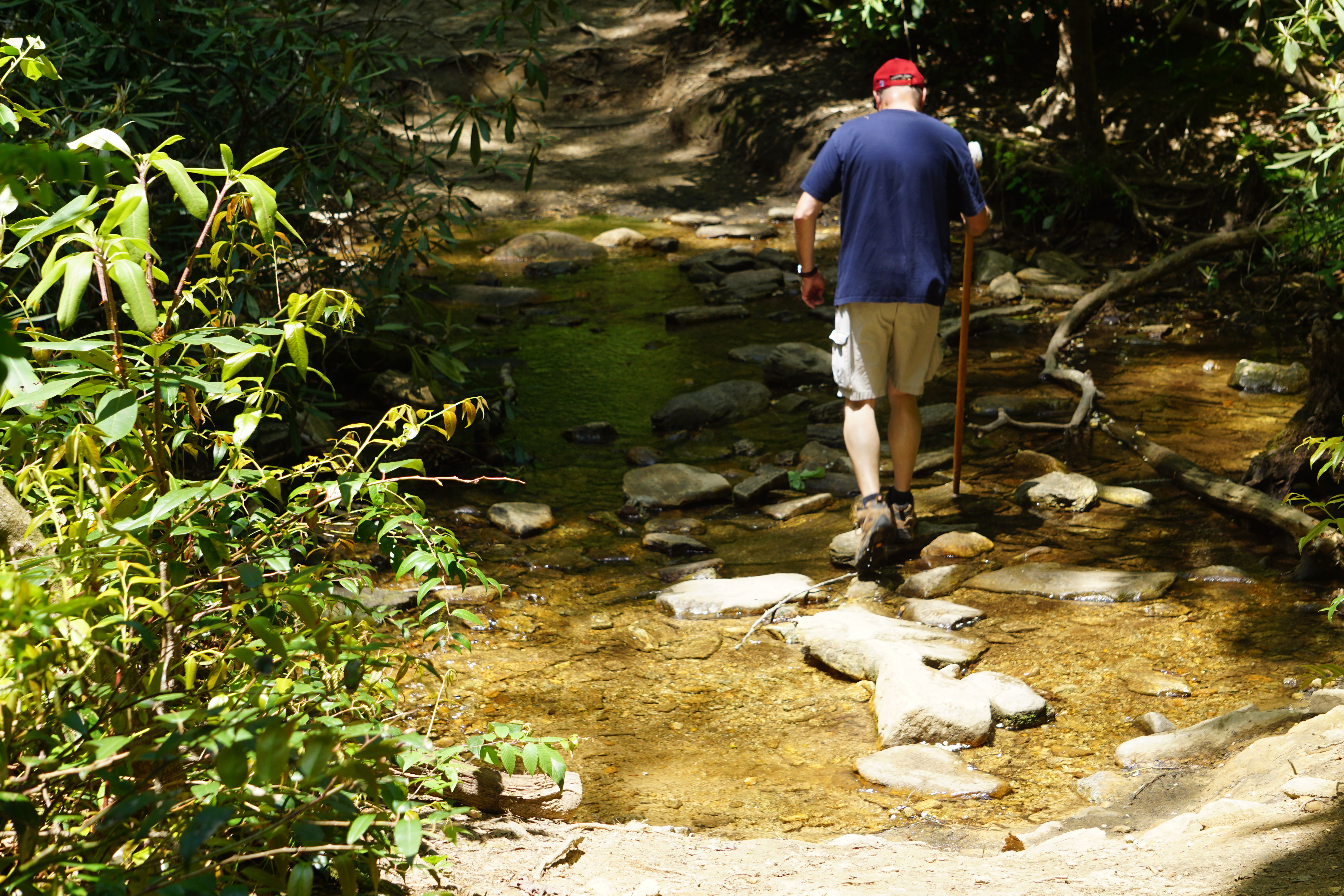
It becomes gradually somewhat rougher and more narrow, with stones and tree roots to dodge. A short water crossing is easily managed by balancing on rocks. I imagine there are many times when those are under water completely.
The rush of the waterfalls overcomes the rustle of the trees in the wind, as wooden steps begin to ascend to Rainbow Falls.
Turtle Falls
Only a quarter of a mile further, Turtle Falls is up another flight of steps and across a tiny wooden bridge. The trail crosses under a scary looking pile of boulders right to the top the falls.
And thus ends a week of waterfall wandering … so many incredible views and amazing hikes.
Gatlinburg, Tennesse is shops and crowds and bluegrass music on the street corners. We sat for at least three sets of Kenny Stinson and Perfect Tym”n in rocking chairs arranged into an ourdoor theater at the Ole Smokey courtyard.
But a literal block from our hotel, I step into the cool wooded silence of the Great Smoky Mountains National Park.
The Little River rushes over and around worn and glossy boulders. The two mile trail leads to the churning visitor’s center and is popular with morning joggers, yet is feels like wandering the depths of the forest.
Clingman’s Dome
Clingman’s Dome overlook is a about a 45 minute drive from town in early May. I suspect it’s considerably longer later in the tourist season.
It’s 82 degrees when we set out in summer shorts and t-shirts, jackets left casually behind in the motel. We wind through gorgeous overlooks and pullouts, but aren’t fully aware of the changing temperatures until we step out at the top of the mountain and head for the observation tower trail.
It’s now 62 degrees. I would have gone back for that jacket if it had been in the truck. I was pretty quickly glad it wasn’t though. The climb to the tower is a great heat generator, and carrying it would have been a hassle.
A half a mile … that’s what the sign says. I walk several miles a day, what issue could there possibly be? A half a mile at a steep incline and 6,643 feet of elevation. Camera’s are great tools of self delusion. Why no, I’m not tired. I just need a picture of these beautiful wildflowers along the path.
The view is stunning and worth every step. Besides the fact that it’s fun to watch everyone else trudging their way up. I’m in awe of those doing it with a baby on their back.
The Appalachian Trail crosses near the tower. I’ve read books about hikers for years and I was excited to see a portion of it.
I was startled by how narrow it is. It’s beautiful and rugged and quiet only yards off the busy tower trail. I’ve read that three million people visit the trail each year. I guess the 2190 miles to spread out in explains the stillness here. Of course, most won’t make it all the way through. Many are probably just quick jaunt dreaming like me.
Kephart Prong Trail
A roadside waterfall marks the Kephart Prong pullout. Opposite is a good sized parking lot and the trail leading down into the woods. It wanders alongside the Oconaluftee River and banks of wildflowers and a few CCC ruins, until it crosses on a log to climb to the Kephart Shelter.
Literally a log …
It’s a huge old tree, split right down the middle and laid across the river with a rail on one side. A woman we met returning to our car laughed at my amazement. She said her family had just such a bridge in her childhood, but without the handrail.
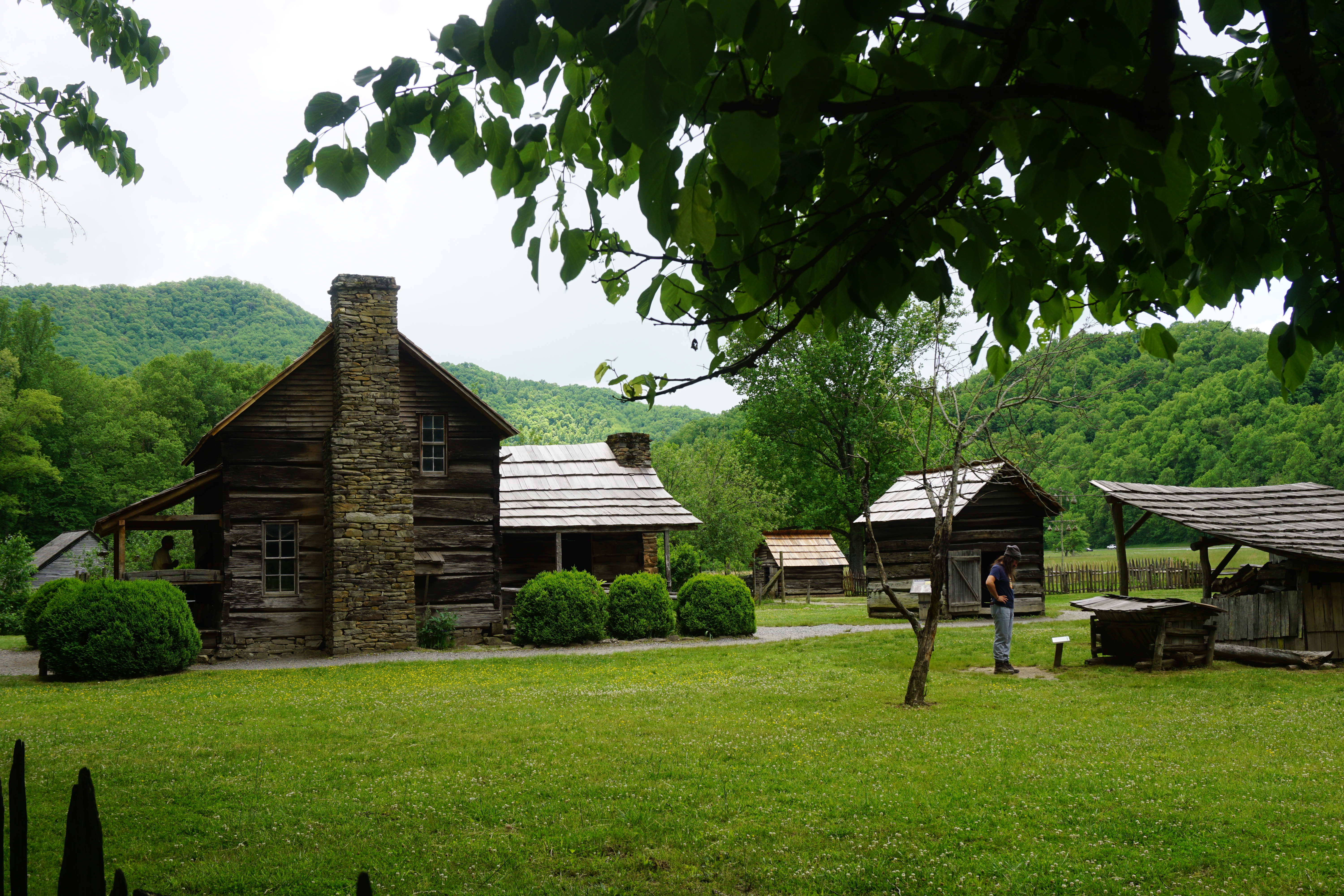
Mountain Farm Museum
The Mountain Farm Museum introduces the park at the southern entrance. Authentic structures from all over the area model an 1800s farm set alongside the river.
Visitors are free to wander at will or enjoy the riverside trail. A cocky wandering rooster makes sure everyone knows who’s really in charge.